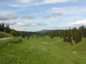

Parc naturel régional Jura vaudois
La Grande Traversée Hiking
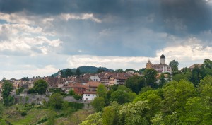
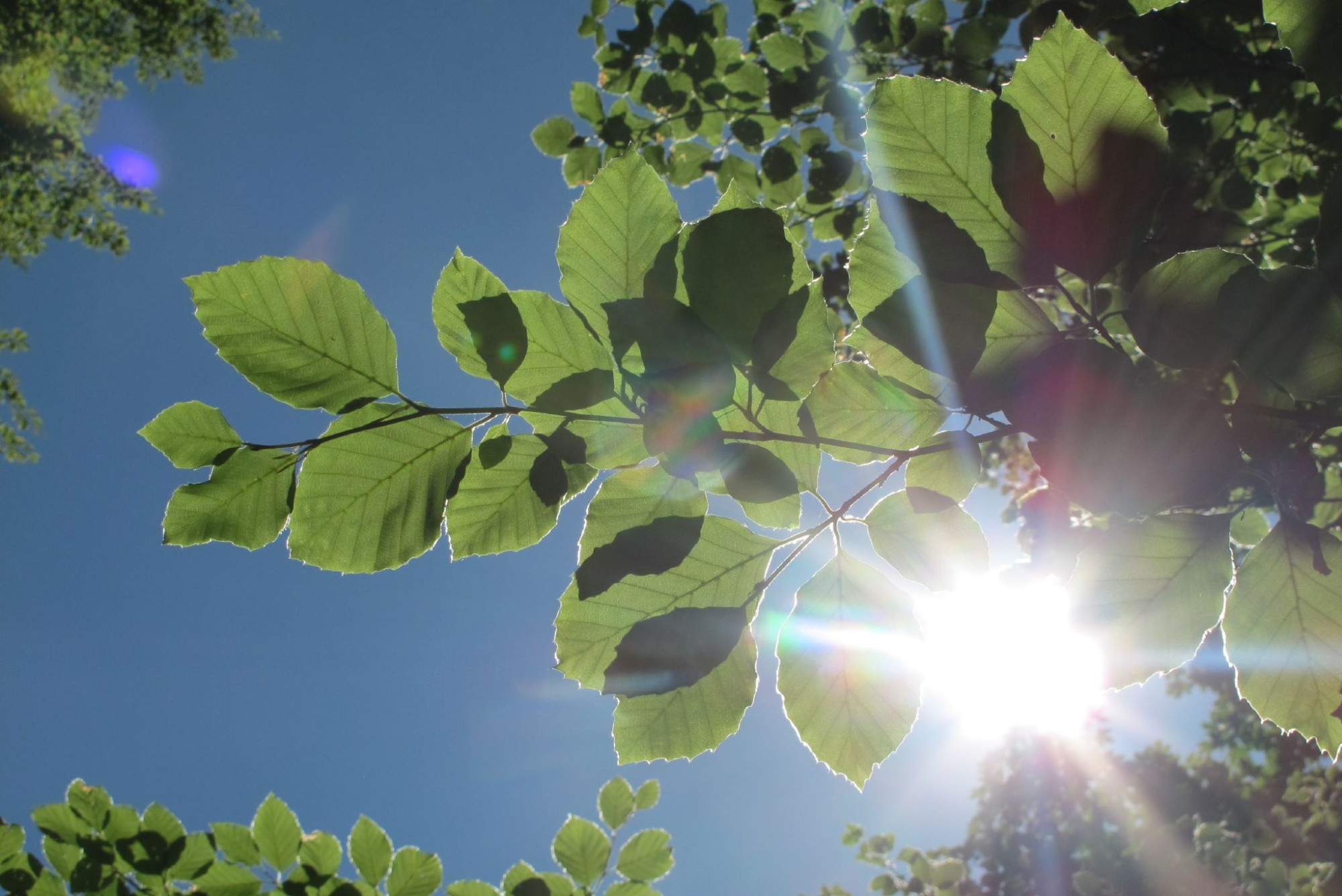
Enjoy fabulous views, typical forests and wooded pastures along the Jura Crest trail. After the climb to the Mont Tendre (1679 m), the route leads down the Pied du Jura foothills through typical villages.
Hiking trail
Time required: 15 hoursLength: 48.50km