

Bramboden-Napf
UNESCO Biosphäre Entlebuch -
A look at the hiking map shows you that the Napf is practically star-shaped with hiking trails. The viewpoint on the Bern-Lucerne border is excellently accessible from both sides. However, it can only be reached on foot. The starting point of our route is Bramboden. With PostAuto line no. 234 you reach Bramboden from Schüpfheim via Hasle. A short stay here is also worthwhile, as the internationally renowned chef Stefan Wiesner has pitched his tents here. Besides gourmet menus, there is also the Weitsicht-Treff, a self-service restaurant, in the Wiesner Mysterion.
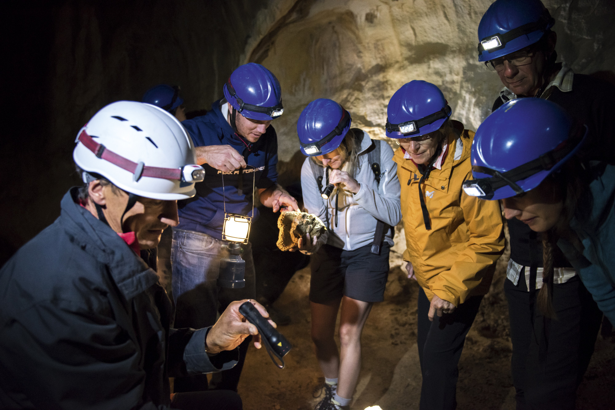
A newly created charcoal burning room in the Entlebuch hamlet of Bramboden (LU) also invites hiking enthusiasts to encounter the old craft of charcoal burning. A 270-degree panorama shows atmospheric images of charcoal production. Close-ups of the various materials and stages of the charcoal burning process are combined with sounds.
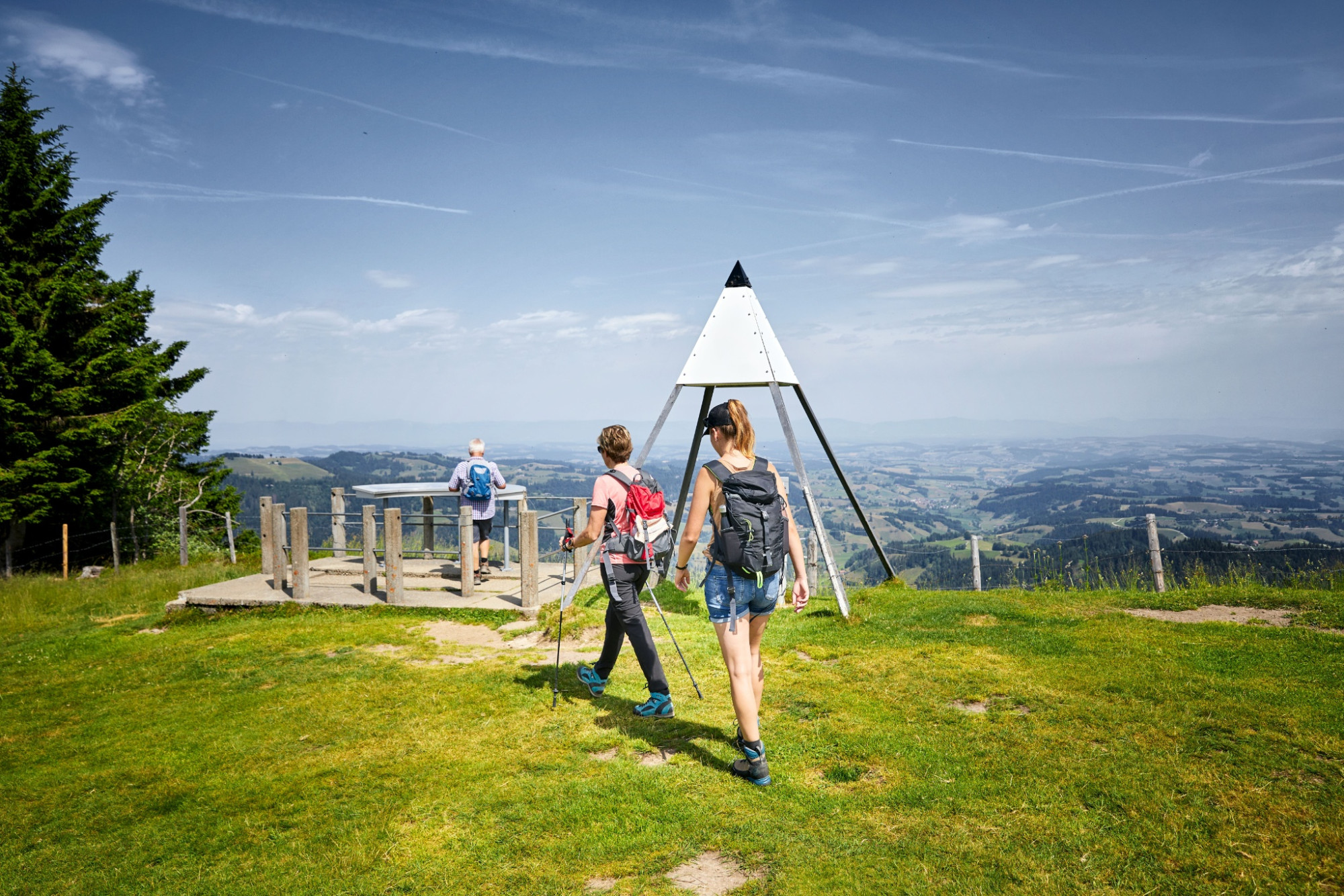
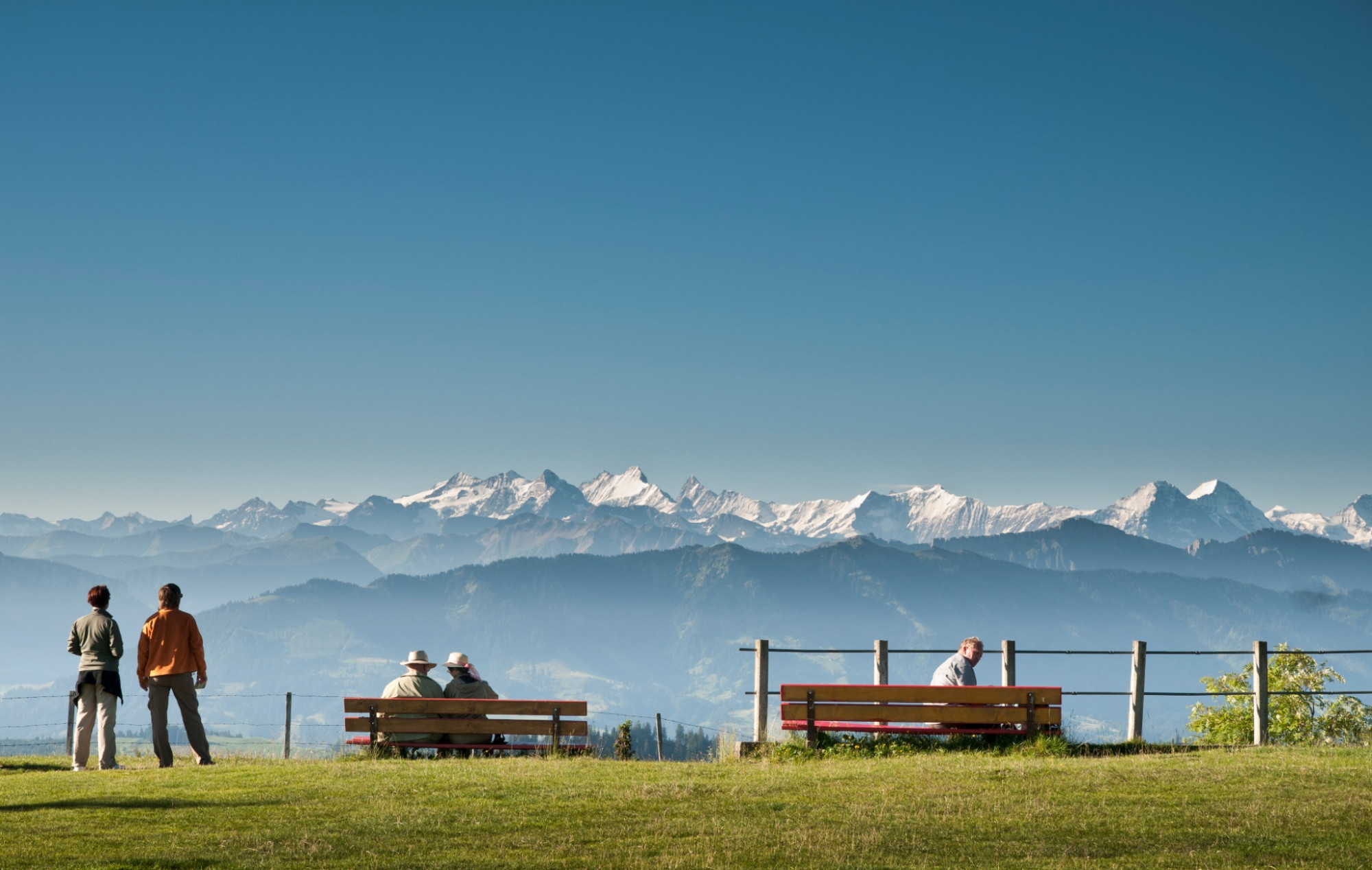
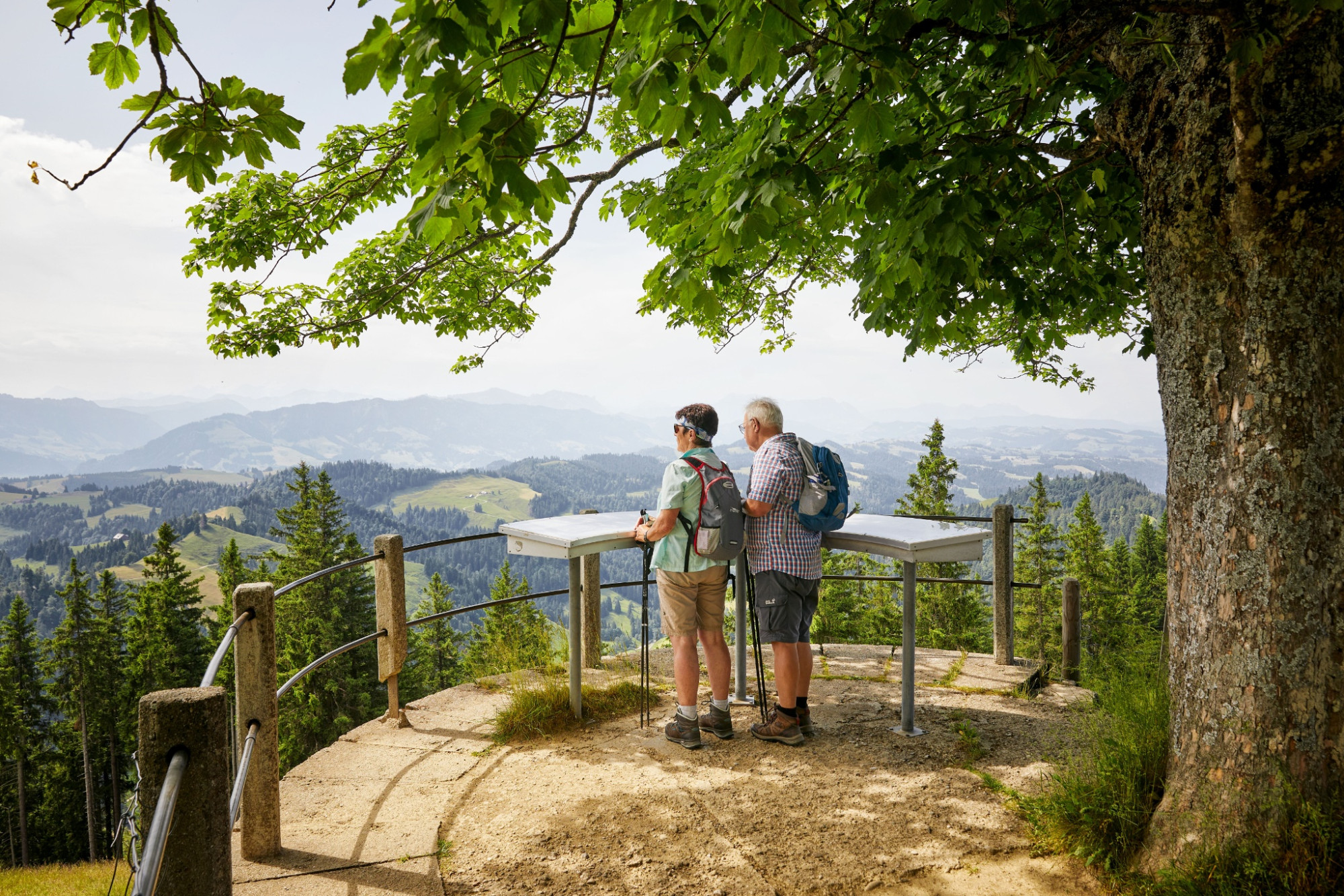
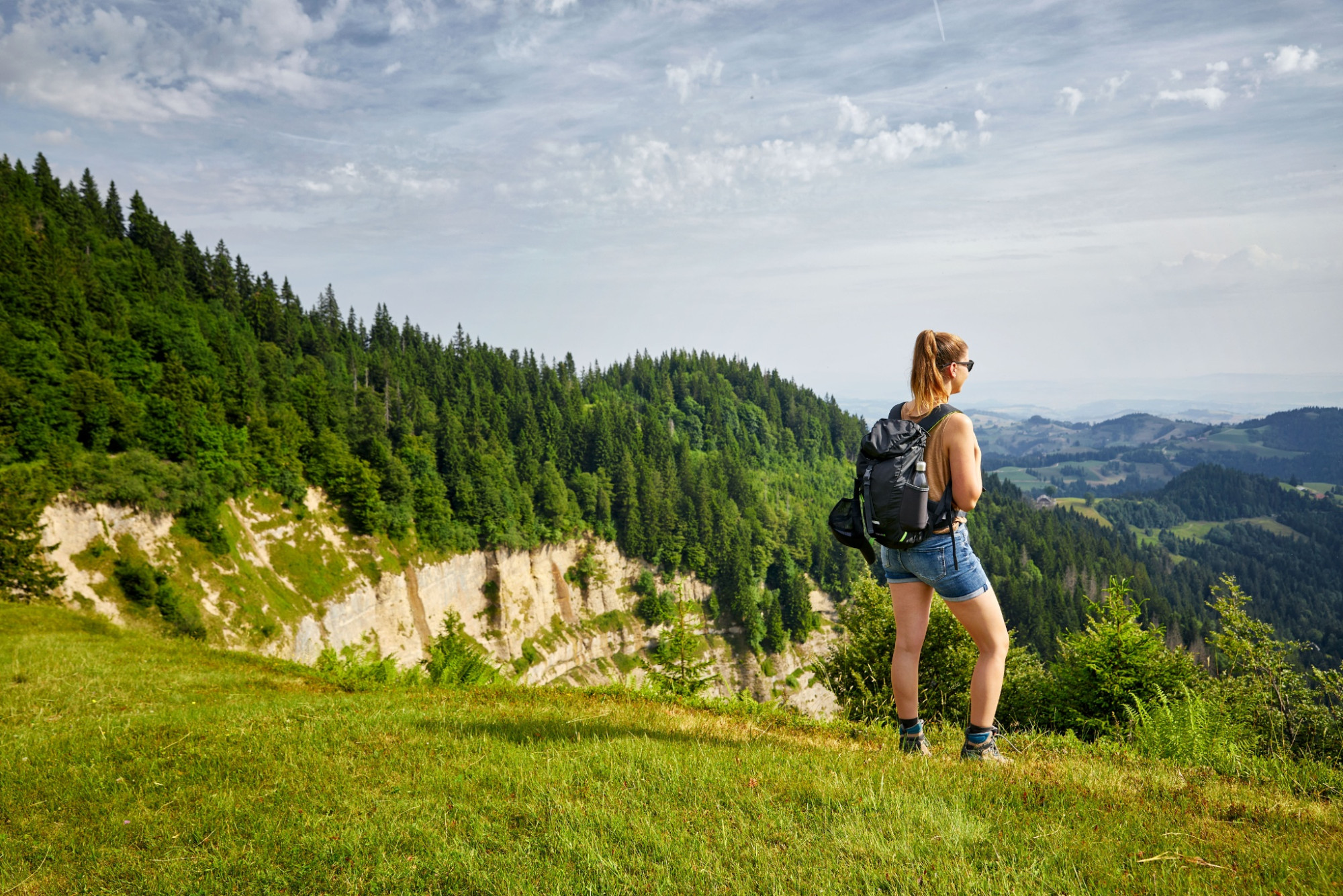
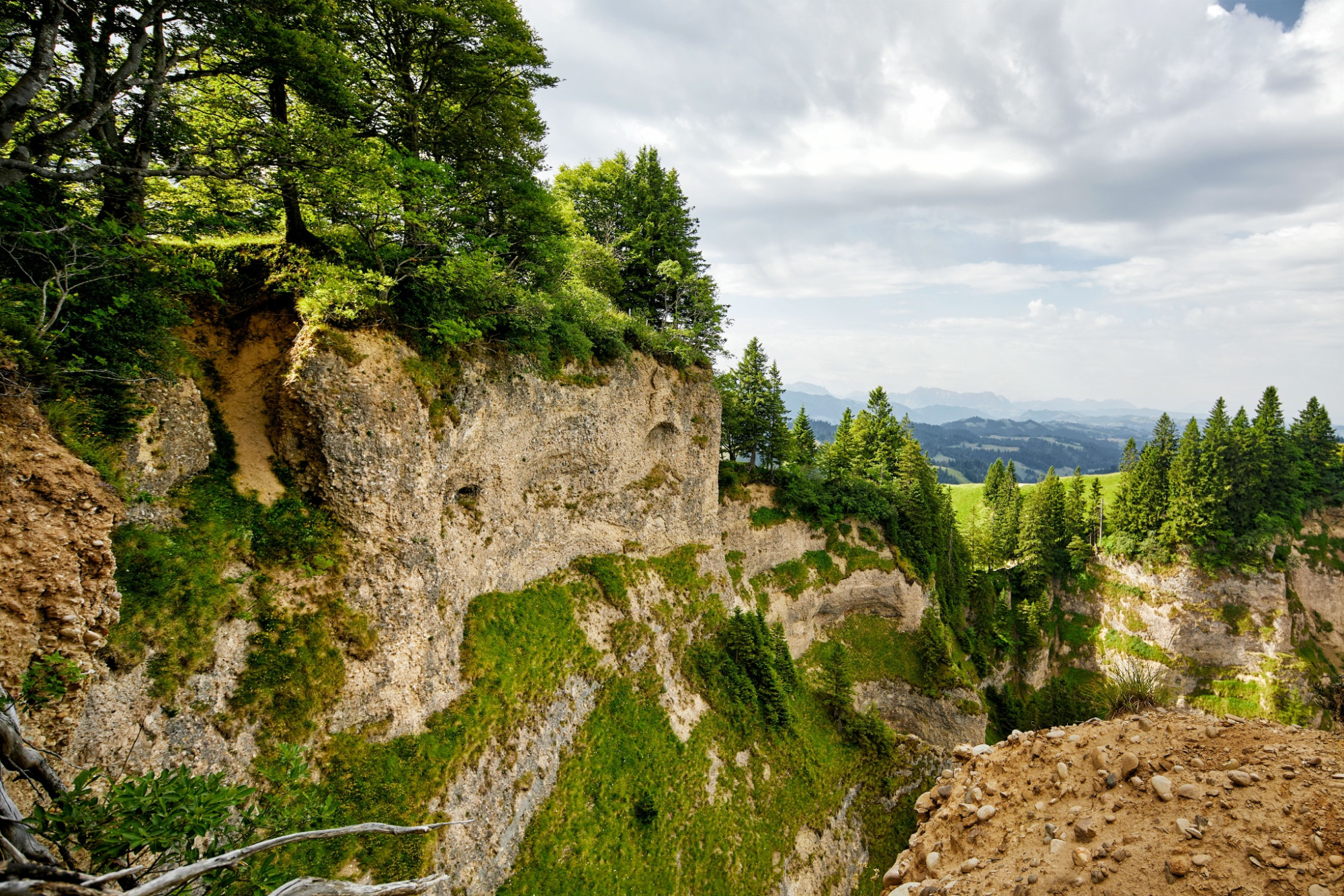
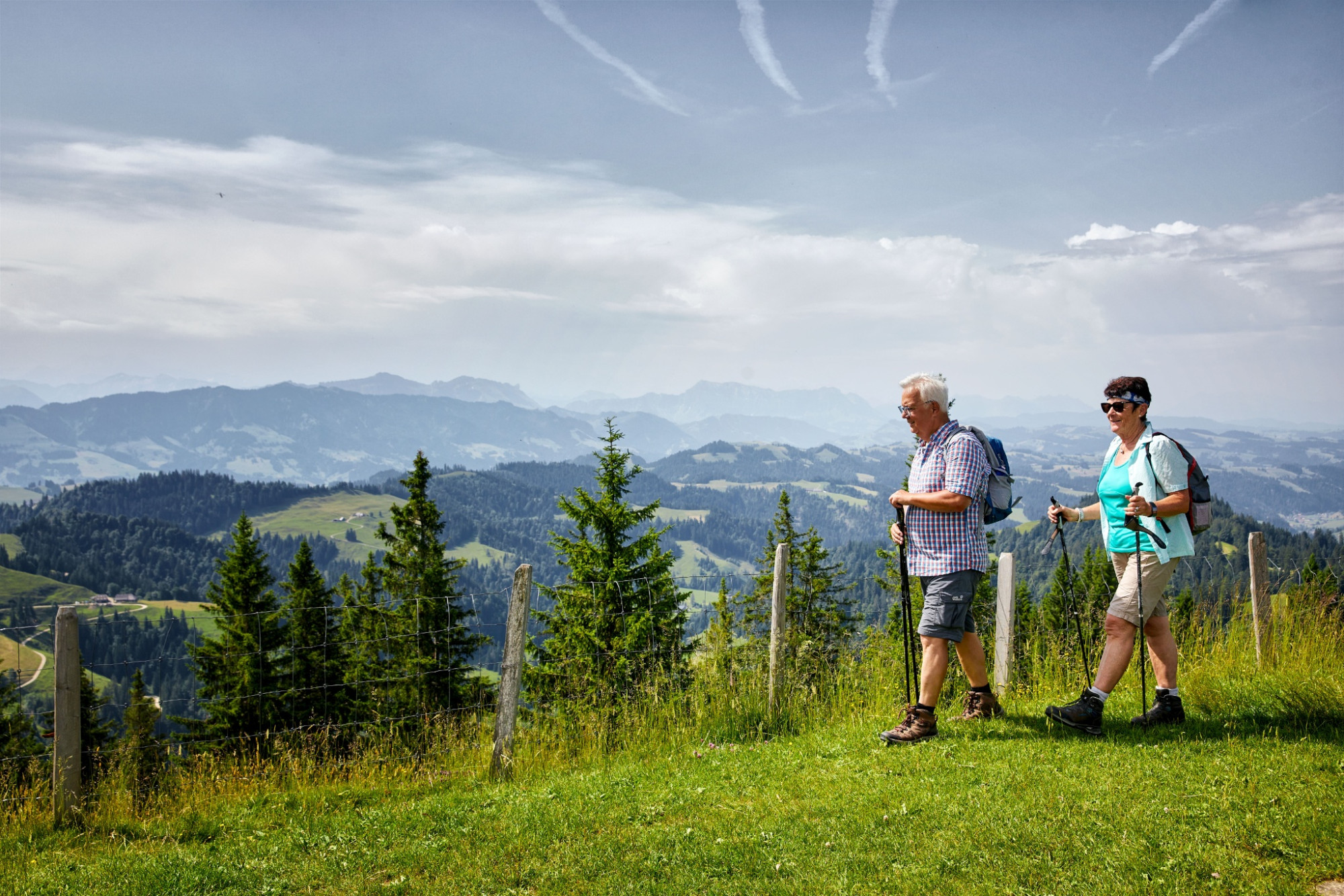
Once you are ready to start your hike, the path leads from the church first on a small road, soon but on gravel paths heading west, past several farms to the cantonal border where it turns north. Short climbs alternate repeatedly with longer flat sections offering beautiful views of the varied structured landscape of the Napf area: deeply incised ravines alternate with wooded steep slopes and narrow but sunny ridges. Over the Trimlegrat you reach the Stächelegg, where there is an impressive deep view into the Änziloch. According to legend, evil spirits dwell here, who are especially mischievous during thunderstorms. After a last ascent, you reach the Napf.
From the Napf you can return on numerous hiking trails to Romoos, Schüpfheim, Luthern Bad, Menzberg, Trub, etc.
Route-information
Route-information
- Length
- 7.03 km
- Altitude difference ascent
- 383 m
- Altitude difference descent
- 31 m
- Time required
- 2 hours 15 minutes
- Level technique
- Easy
- Level condition
- Middle
Details
Tourism office Romoos
c/o municipal administration
Dorf 32
CH-6113 Romoos
Phone +41 41 480 28 00
www.romoos.ch
Equipment / Equipment rent
Good footwear, a rain jacket & enough drinking water for the journey are part of every hike.
Further tips for safe hiking, information about mother cow herds and herd guardian dogs, and much more can be found on the website of the Swiss Hiking Trails.
Signalization
Bramboden - Hofarni - Oberratshuse - Stächelegg - Napf
Arrival
Arrival
- Starting point
- Dorf Bramboden
- Destination
- Napf
Suitable for
The offer is suitable for
- Adults
- Children from 7-12 years
- Children >12 years
- 50+
- Families
- Groups
Season
Mai, June, July, August, September, OctoberContact
UNESCO Biosphäre EntlebuchBiosphärenzentrum UNESCO Biosphäre Entlebuch
Chlosterbüel 28
6170 Schüpfheim
T +41 41 485 42 50
www.biosphaere.ch