


Entlebuch Emmental high route
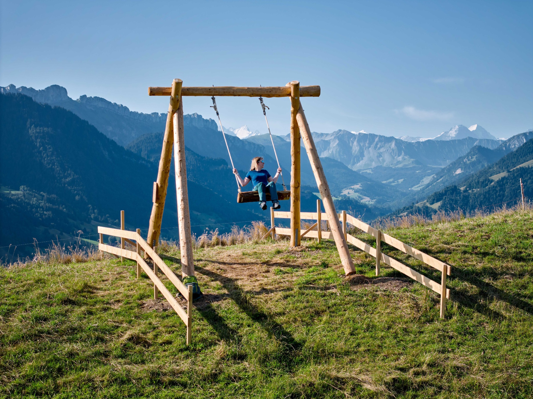
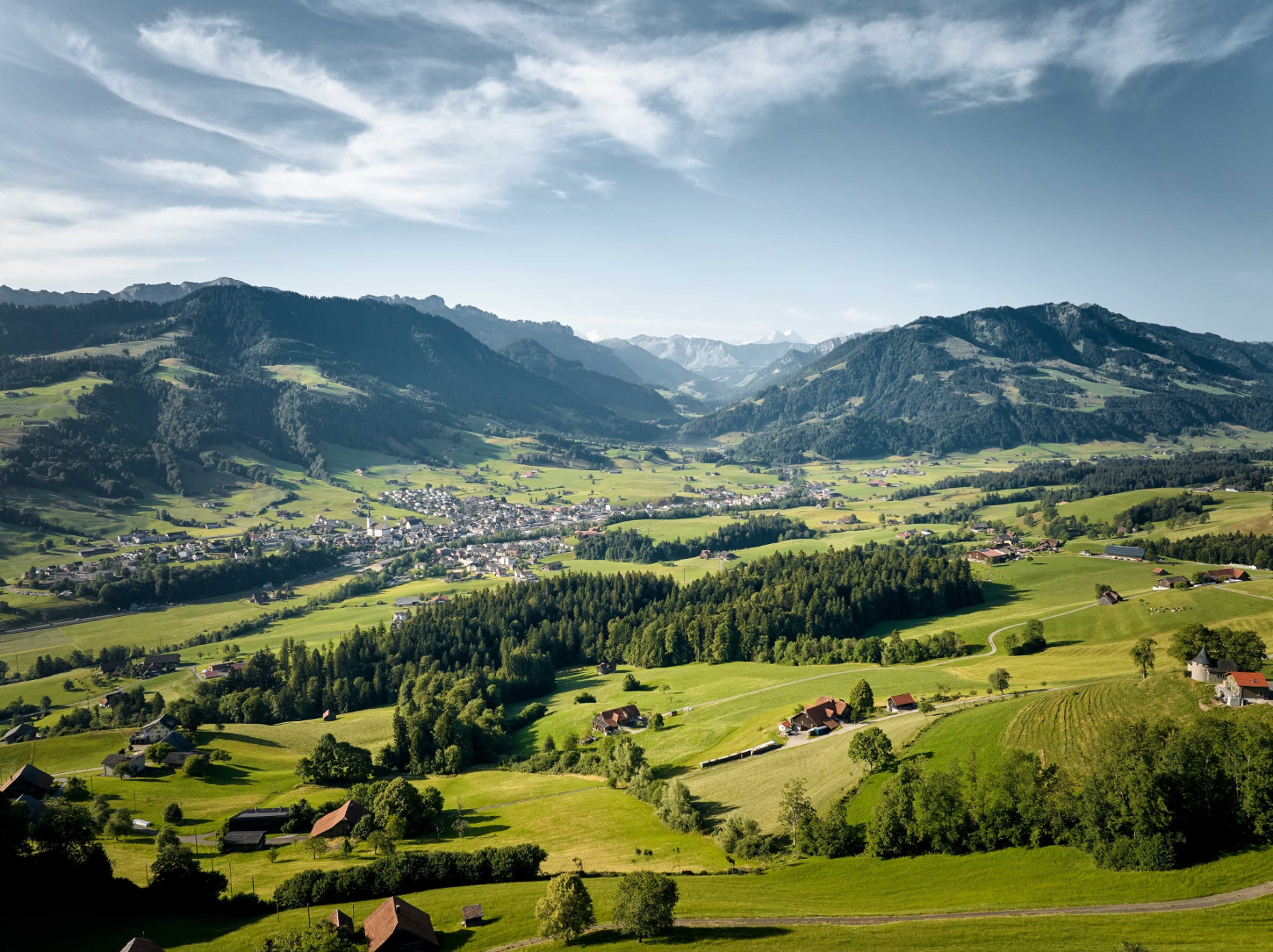
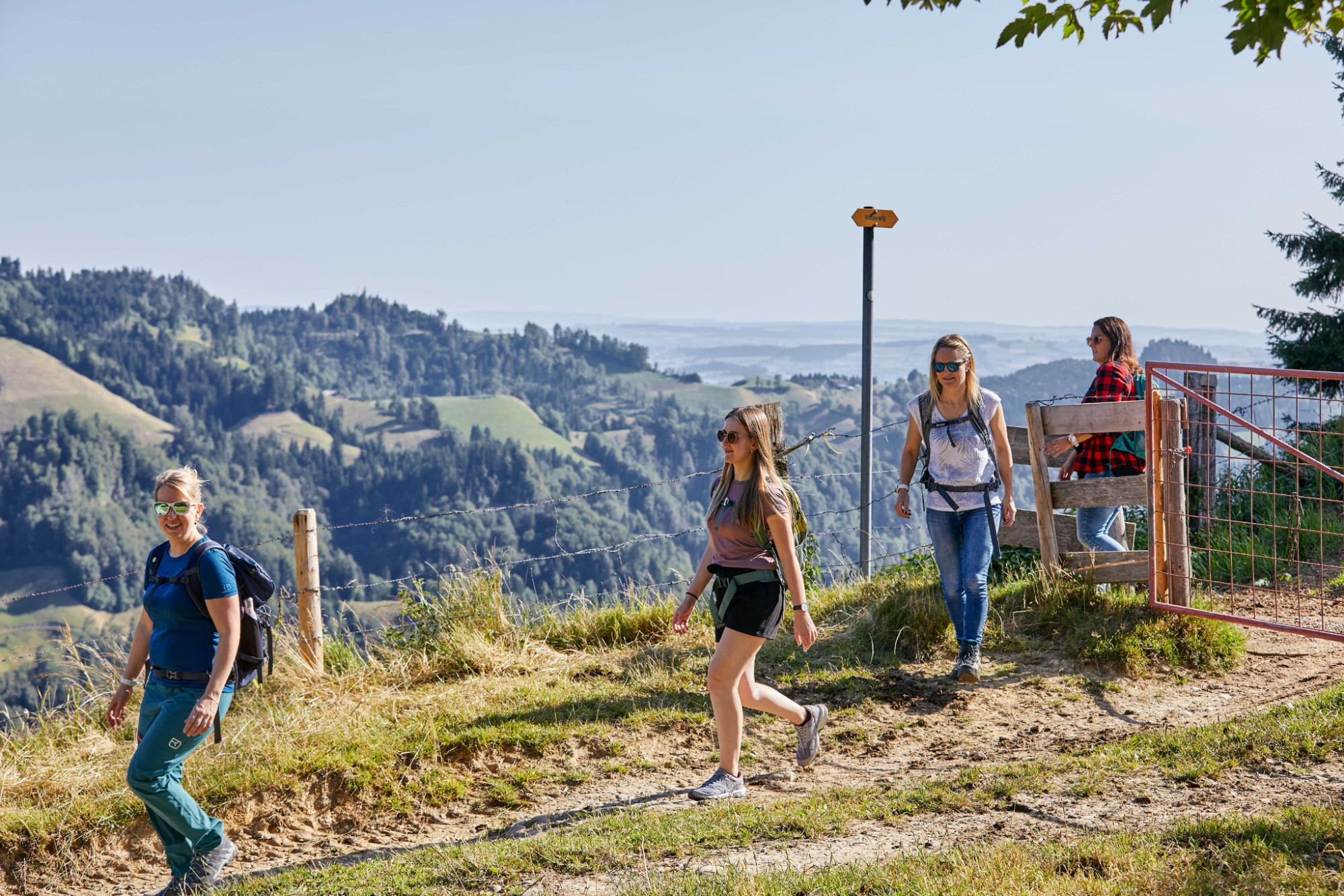
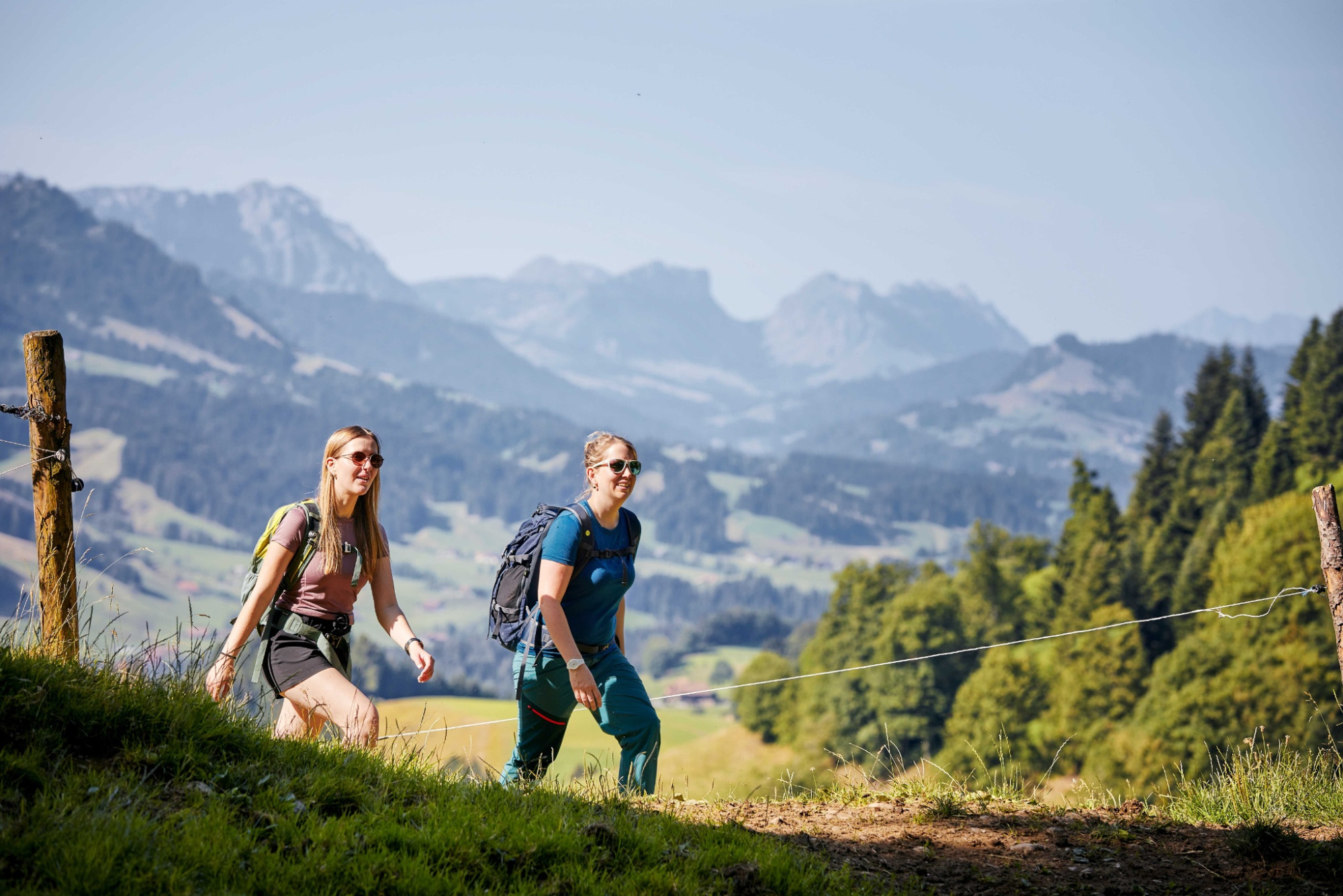
UNESCO Biosphäre Entlebuch - This path is simply the height! Discover landscapes and mountain worlds that enchant and inspire in the UNESCO Biosphere Entlebuch and its neighboring region Emmental.
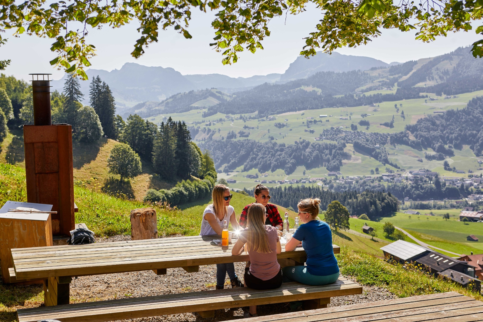
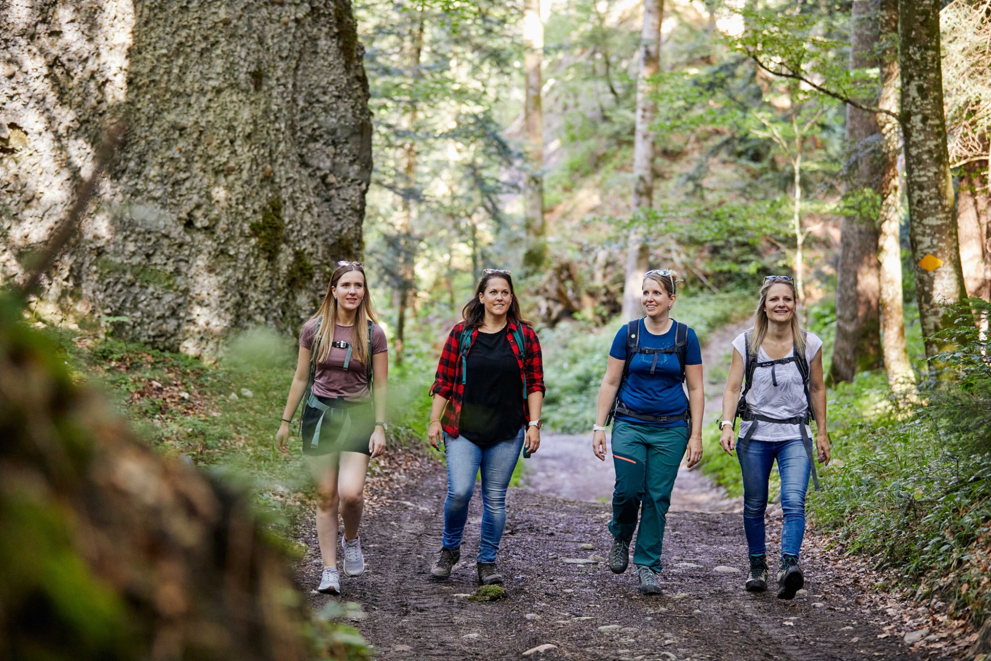
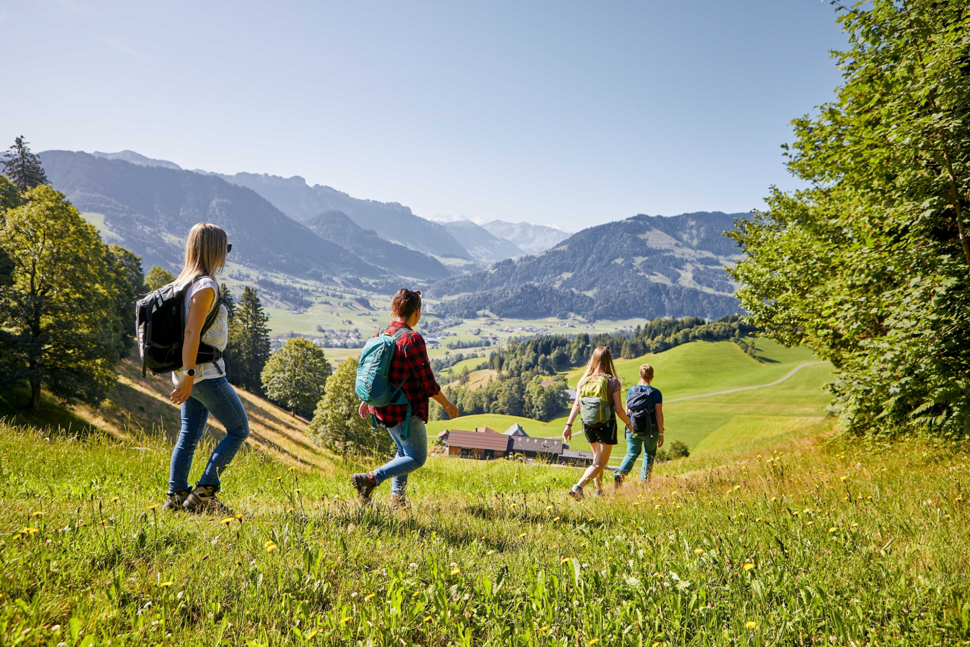
Sometimes the view looks towards the wild ravines and creeks of the Napf area. Sometimes it goes down into the lovely main valley of Entlebuch, onto streets and villages. And further on to the otherworldly hills and up to the eternal snow of the Bernese Alps. Start at dawn when the dew glitters and enjoy a unique fauna and flora. Rest in cozy inns far from noise and hustle and enjoy fascinating views.
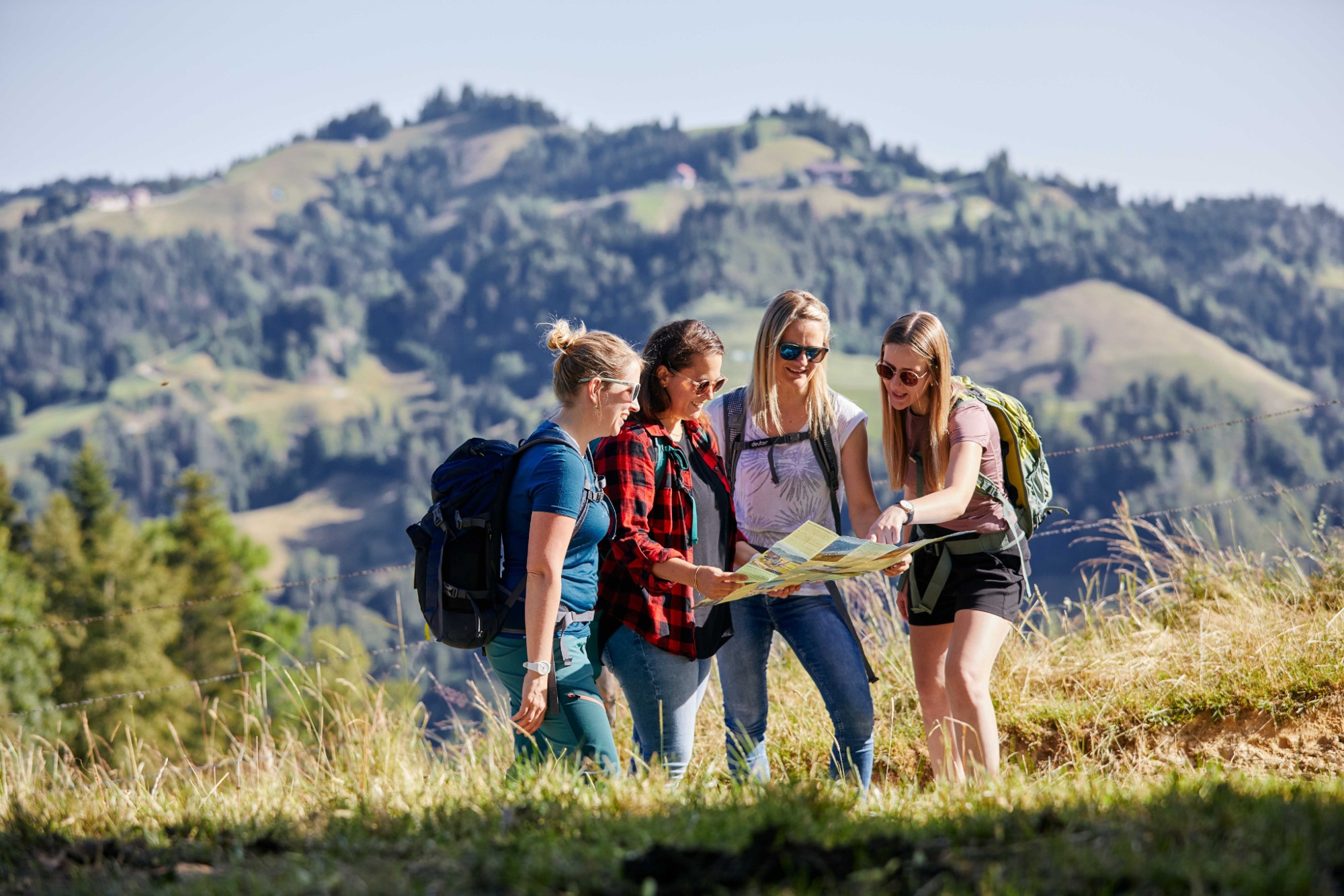
The Entlebuch Emmental high route is divided into several stages and runs entirely on the existing hiking trail network. So you can set off without worries and according to your fitness. The lowest point is at 731 meters above sea level, the highest at 1415 meters above sea level – therefore the route is also feasible in spring and autumn when there may still be snow at higher altitudes. The entire trail is marked with high route signposts.
Stage 1: Doppleschwand – Obstaldenegg
Stage 2: Obstaldenegg – Turner
Stage 3: Turner – Trubschachen
Route-information
Route-information
- Length
- 41.84 km
- Altitude difference ascent
- 1652 m
- Altitude difference descent
- 1473 m
- Time required
- 13 hours 31 minutes
- Level technique
- Easy
- Level condition
- Middle
Details
UNESCO Biosphere Entlebuch
c/o Biosphere Center
Chlosterbüel 28
CH-6170 Schüpfheim
Phone +41 (0)41 485 42 50
www.biosphaere.ch
Equipment / Equipment rent
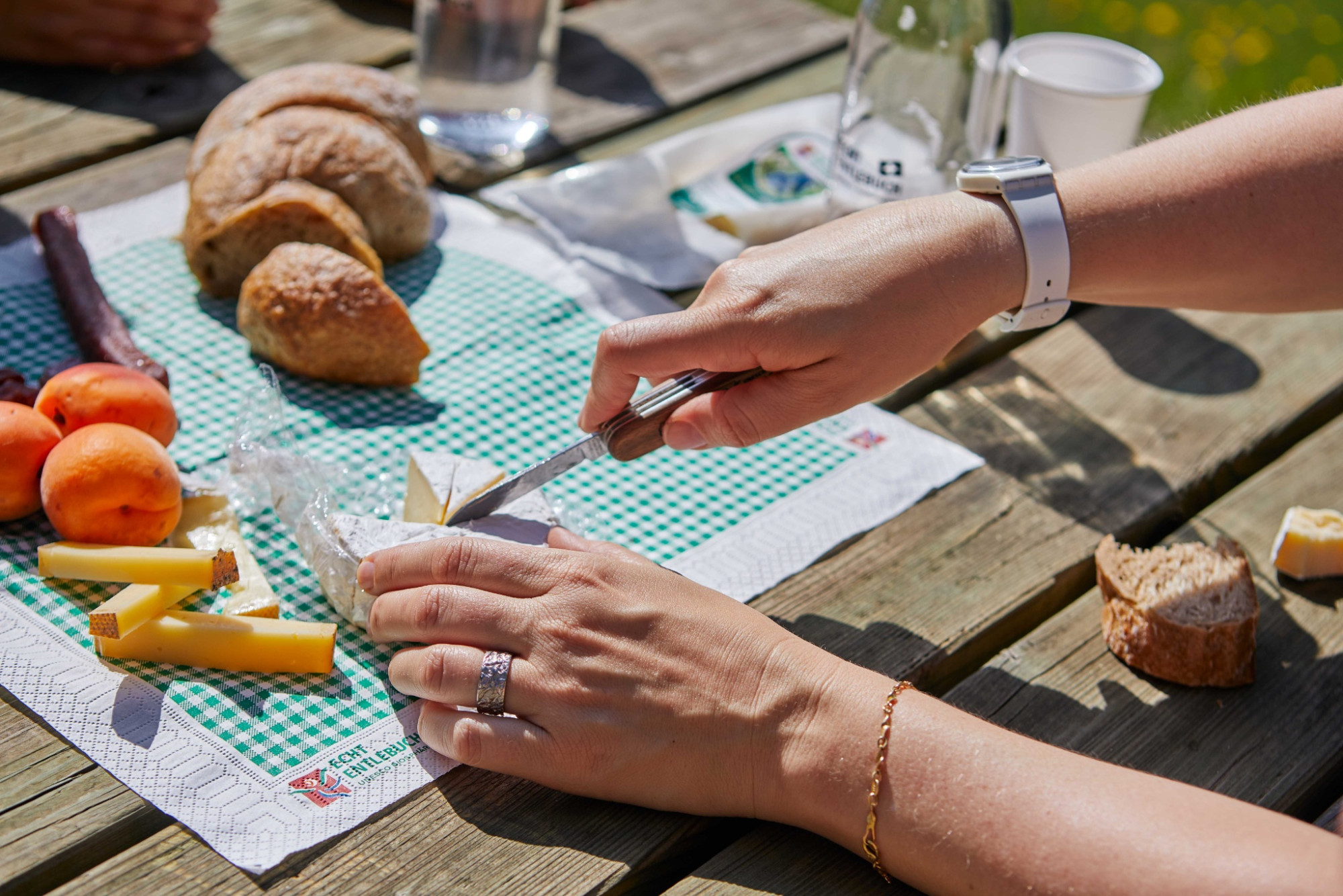
Good footwear, a rain jacket, and enough drinking water for the journey are essential for every hike.
Further tips for safe hiking, information on suckler cow herds and livestock guardian dogs, and much more can be found on the Swiss Hiking Trails website.
Signalization
Stage 1: Doppleschwand – Obstaldenegg
Doppleschwand Post – Weghus – Chrüzbüel – Oberhüseren Chapel – March – Chriesbaumen – Bergli – (> descent to Hasle) – Hohmättili – Voglisbergegg – Schüpferegg – Obstaldenegg > descent to Schüpfheim
Stage 2: Obstaldenegg – Turner
Obstaldenegg – Gmeinwerch – Mittlisthütte – Champechnubel – Stutzegg – Chrüzbode – Grätliegg – Altegrat – Turner > descent to Escholzmatt
Stage 3: Turner – Trubschachen
Turner – Nageldach – Ober-Altgäfäl – Hinter Risisegg – Schindelegg (> descent to Trub) – Mittler Risisegg – Alpetli – Lower Schwand – Trubschachen
Stage 4: Trubschachen – Grosshorben
Trubschachen – Bärgenhüsi – Houenenegg – Lower Houenen – Upper Houenen – Chäserenegg – Rämisgummen – Behind Rämisgummen – Pfyffer – Grosshorben
Stage 5: Grosshorben – Schangnau
Grosshorben – Bergegg – Wachthubel (> descent to Marbach) – Oberi Flue – Meisenegg – Rütiboden – Upper Rüti – Lower Lamm – Vord. Scheidbach – Lower Rüti – Schangnau
Ascent and descent possibilities from the Entlebuch Emmental high route
- Entlebuch station - Habschwanden: ascent 45 minutes, descent 35 minutes
- Hasle station - Bergli: ascent 35 minutes, descent 25 minutes
- Schüpfheim station - Obstaldenegg: ascent 1 hour 25 minutes, descent 1 hour 10 minutes
- Escholzmatt station - Turner: ascent 1 hour 35 minutes, descent 1 hour 15 minutes
- Landgasthof Sternen Trub - Schindelegg: ascent 1 hour 40 minutes, descent 1 hour 40 minutes
- Egghus Wiggen - Grosshorben: ascent 2 hours, descent 1 hour 40 minutes
- Post Marbach - Wachthubel: ascent 2 hours, descent 1 hour 25 minutes
Arrival
Arrival
- Starting point
- Doppleschwand, Postautohaltestelle Doppleschwand, Post
- Destination
- Schangnau, Postautohaltestelle Schangnau, Post
Suitable for
The offer is suitable for
- Adults
- Children >12 years
- 50+
Season
March, April, Mai, June, July, August, September, October, NovemberContact
UNESCO Biosphäre EntlebuchBiosphärenzentrum UNESCO Biosphäre Entlebuch
Chlosterbüel 28
6170 Schüpfheim
T +41 41 485 42 50
www.biosphaere.ch