

Moor Landscape Trail Stage 2: Hilfere Pass
UNESCO Biosphäre Entlebuch - On the less well-known side of the Schrattenfluh, the path leads back to Flühli. Along the way, you will even be surprised by a moor at the pass.
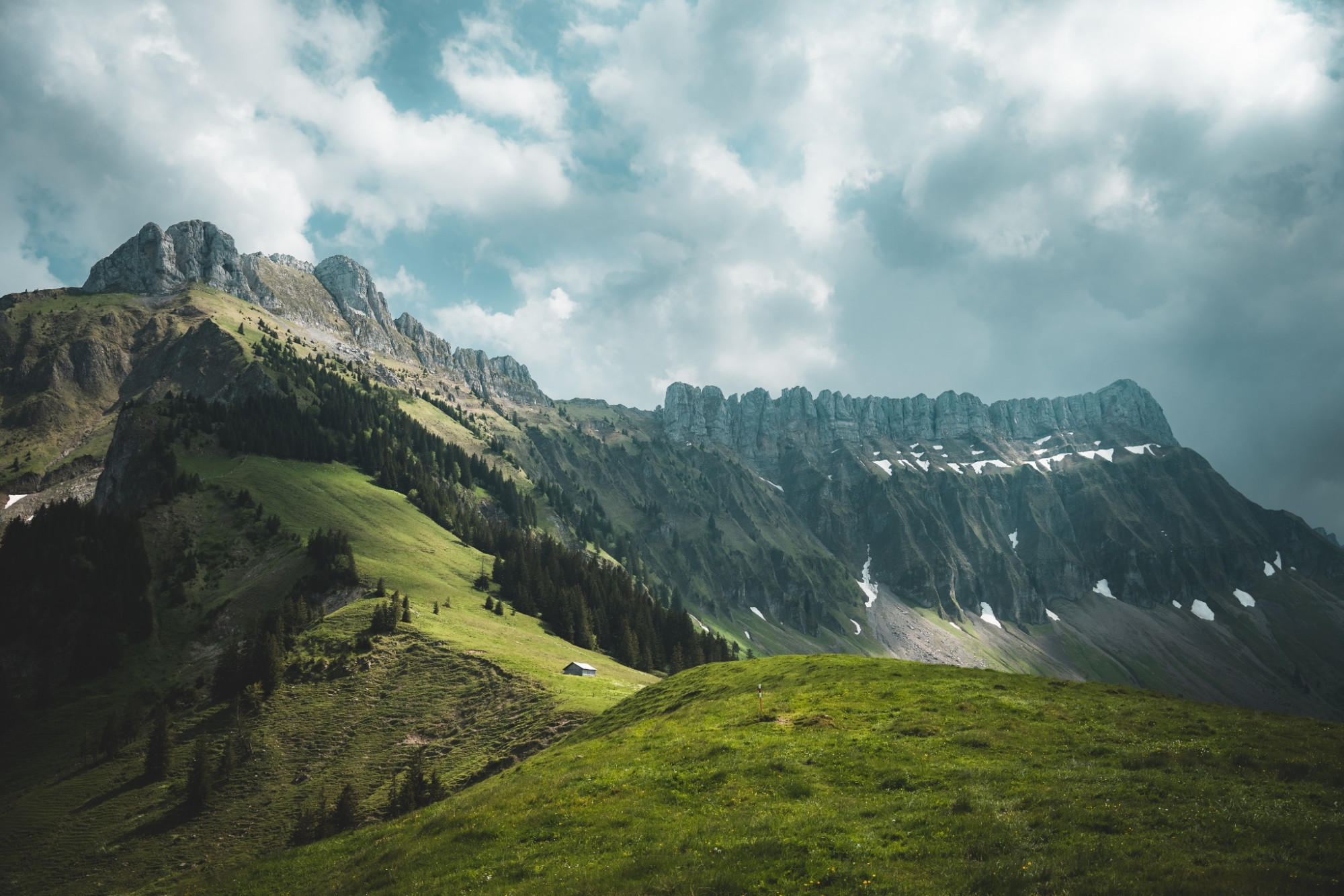
The Hilfere moor landscape is a varied area between the sparsely populated, wild flysch areas (former seabed) and the year-round inhabited moor landscapes of the Swiss Plateau: at higher elevations, alpine pastures with dark spruce forests and flower-rich flat moors dominate the scene. At mid elevations, moor pastures and scattered meadows form a fascinating mosaic. Even at lower elevations on year-round managed farms, large and contiguous flat moors can still be found. Typical scattered settlements are still largely preserved.
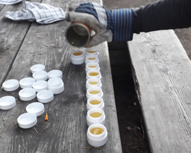
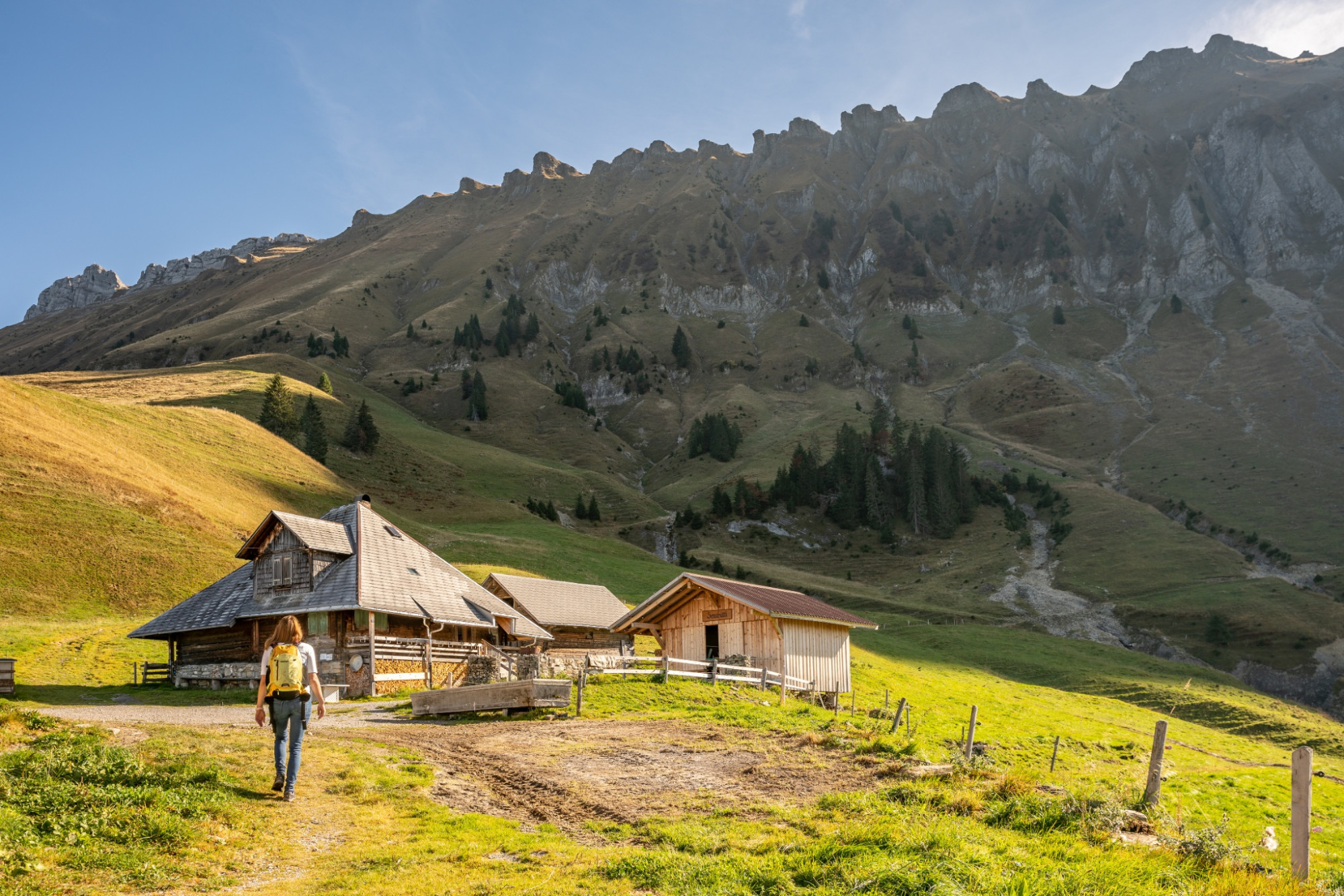
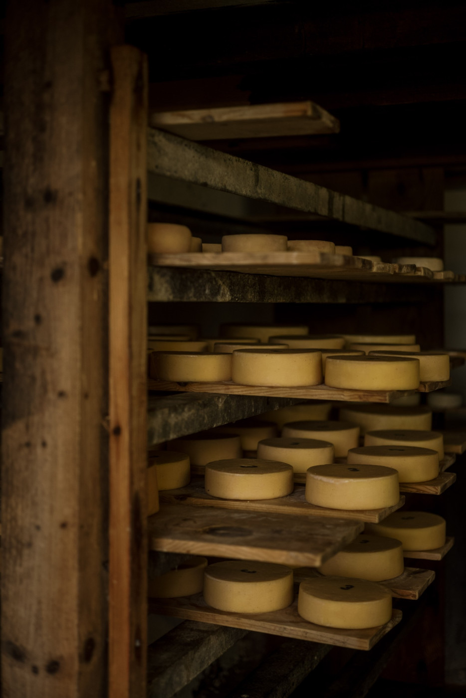
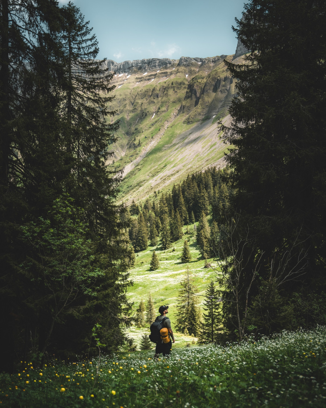
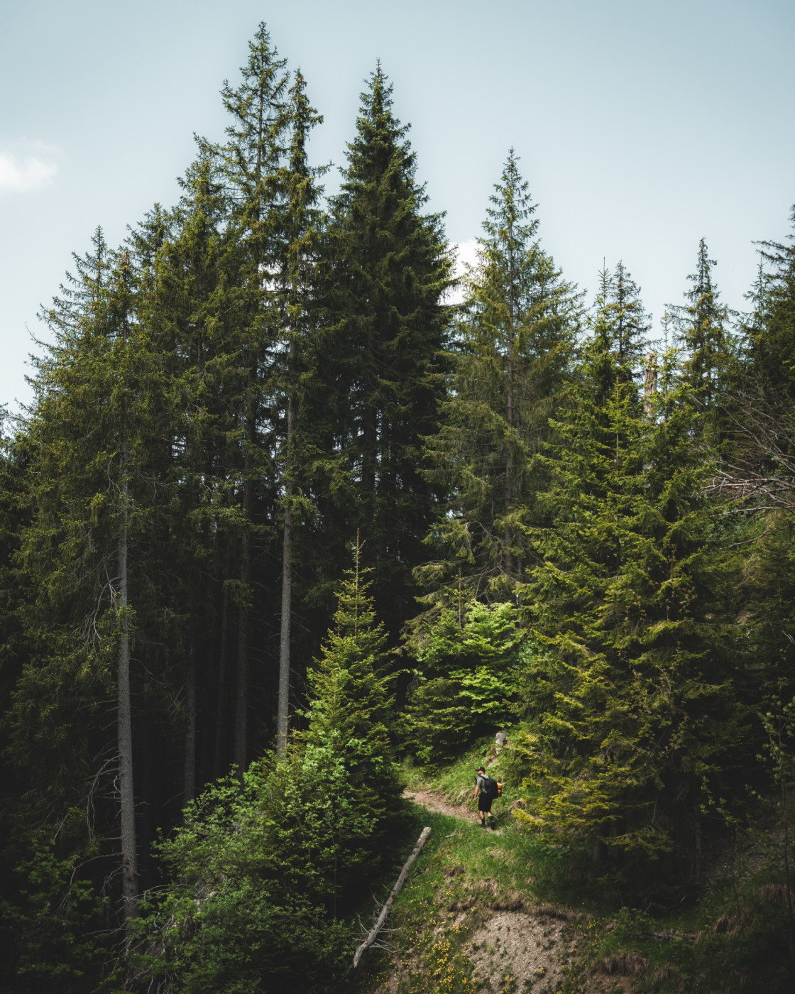
The second stage of the Moor Landscape Trail leads back from Kemmeriboden-Bad over the Lucerne border, via the Hilfere Pass to Flühli. As a constant companion, you will see the unusual face of the Schrattenfluh with its steep, rocky slopes. A first rest break is well deserved after the steep ascent at Alp Imbrig. Pack a piece of alpine cheese as a provision for the journey. From the alpine pasture, it becomes quite quiet on the hiking trail. Along the steep slopes, you walk past the Steiwag; the path continues gently with moderate ups and downs. Shortly after Vorder Bättenalp, the path descends into the forest before reaching the extensive, open terrain of Salzbode. Here, you get another fantastic view of the steep peaks of the Hächlezänd. Then it continues towards Hilfere Pass. You cross a flat moor with a rich plant and animal world. Observe the striking, green-colored Wart-biter grasshoppers from the path. Take off your shoes and walk the next 400 meters barefoot. Soft, cool, and moist is the ground – what could be better for your feet confined in shoes?
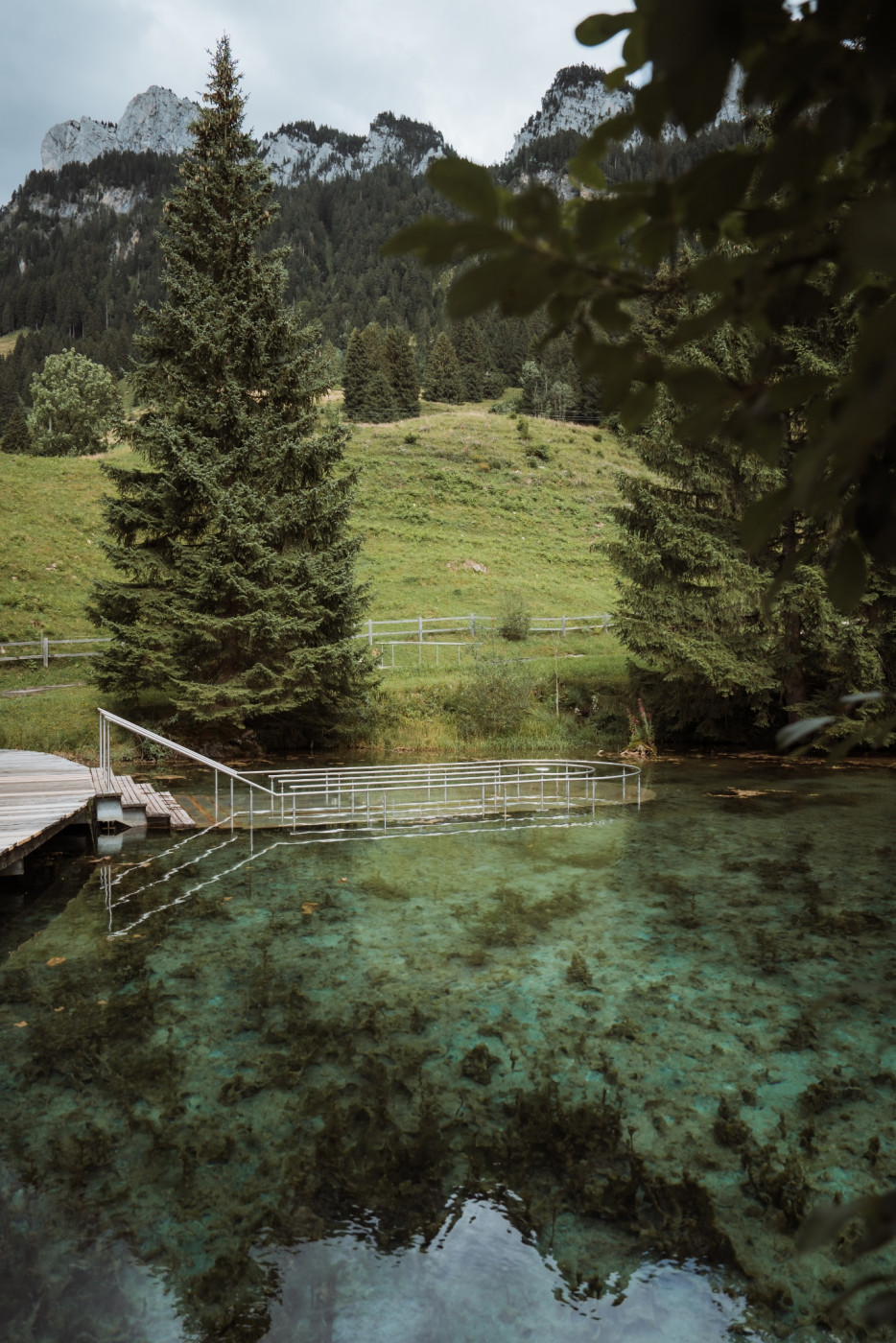
Then some more leg strength is needed. The descent to Flühli still demands something from tired legs. It is best to take a detour directly to the Kneipp facility Schwandalpweiher in Flühli.
Moor Landscape Trail UNESCO Biosphere Entlebuch
Discover here all stages of the five-day adventure through the Entlebuch moor landscapes.
Package Offer
While walking along the signposted Moor Landscape Trail, enjoying the fascinating natural landscapes, and pleasantly eating the provided lunch at the nicest spots, your luggage travels to the next overnight location. Here too, you enjoy a wide variety – from overnight stays in a tipi on the alpine pasture to a 3*-hotel with a regional 4-course menu – and fall into a deep, restful sleep. Here you find the package offer.
Route-information
Route-information
- Length
- 24.30 km
- Altitude difference ascent
- 1367 m
- Altitude difference descent
- 922 m
- Time required
- 6 hours
- Level technique
- Middle
- Level condition
- Hard
Details
UNESCO Biosphere Entlebuch
Chlosterbüel 28
CH-6170 Schüpfheim
Phone +41 (0)41 485 42 50
www.biosphaere.ch
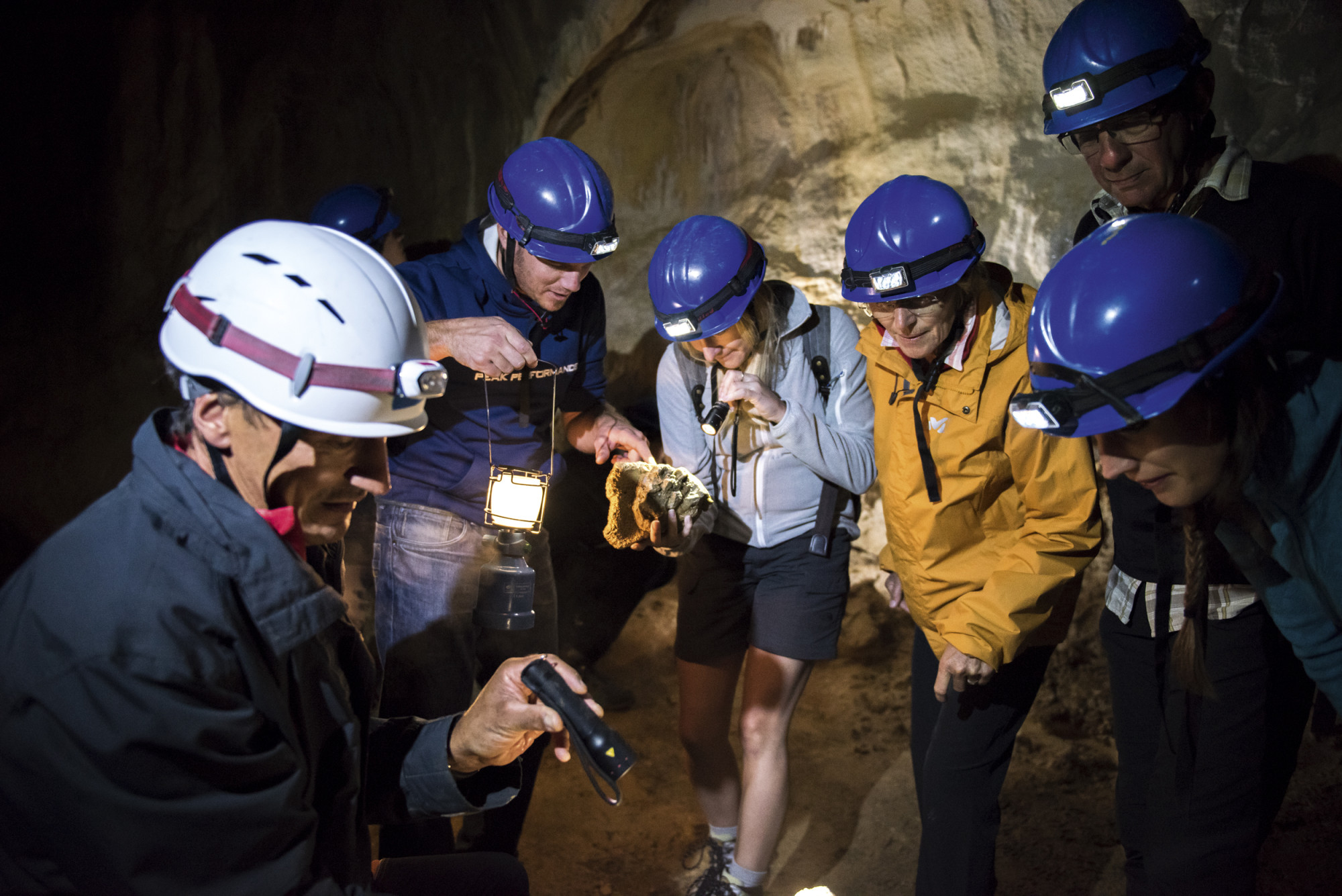
Would you like to explore the moor with an expert? The UNESCO Biosphere Entlebuch gladly organizes guided hikes and excursions. For information, contact the Biosphere Center: zentrum@biosphaere.ch or Tel. +41 (0)41 485 42 50.
Price information
Bookable as a package deal: While you hike along the signposted moorland trail, enjoy the fascinating natural landscapes and enjoy the lunch provided at the most beautiful spots, your luggage travels to the next overnight accommodation. Here, too, you can enjoy a variety of options - from an overnight stay in a tipi on an alpine pasture to a 3-star hotel with a regional 4-course menu - and fall into a deep, restful sleep.Equipment / Equipment rent
Good footwear and all-weather equipment are essential. Binoculars, plant and animal identification books, and possibly a terry towel to dry your feet after barefoot walking are recommended.
Safety advices
Mobile phone reception is partially difficult to impossible.
Signalization
- Kemmeribodenbad - Schibehüttli - Imbrig - Tan - Hind. Bättenalp - Toregg - Hilferepass - Schwändi - Torbach - Flühli Post
- The route is marked with the "Moor Landscape Trail" signet and can also be walked in the opposite direction.
- Stages "Habkern/Sörenberg" or "Small Entle" can be connected to this route.
Variant
Marbach-Marbachegg gondola (1483M); entry to the Moor Landscape Trail via Wittefäre-Chadhus-Imbrig; saves 30 minutes
Information about the gondola can be found at: Sportbahnen Marbachegg
Arrival
Arrival
- Starting point
- Kemmeribodenbad
- Arrival by public transport
- Kemmeriboden Timetable SBB
- Destination
- Flühli, Postautohaltestelle Flühli, Post
Suitable for
The offer is suitable for
- Adults
- 50+
Season
June, July, August, September, OctoberContact
UNESCO Biosphäre EntlebuchBiosphärenzentrum UNESCO Biosphäre Entlebuch
Chlosterbüel 28
6170 Schüpfheim
T +41 41 485 42 50
www.biosphaere.ch