

High-altitude hike Gurnigel - Stockhorn
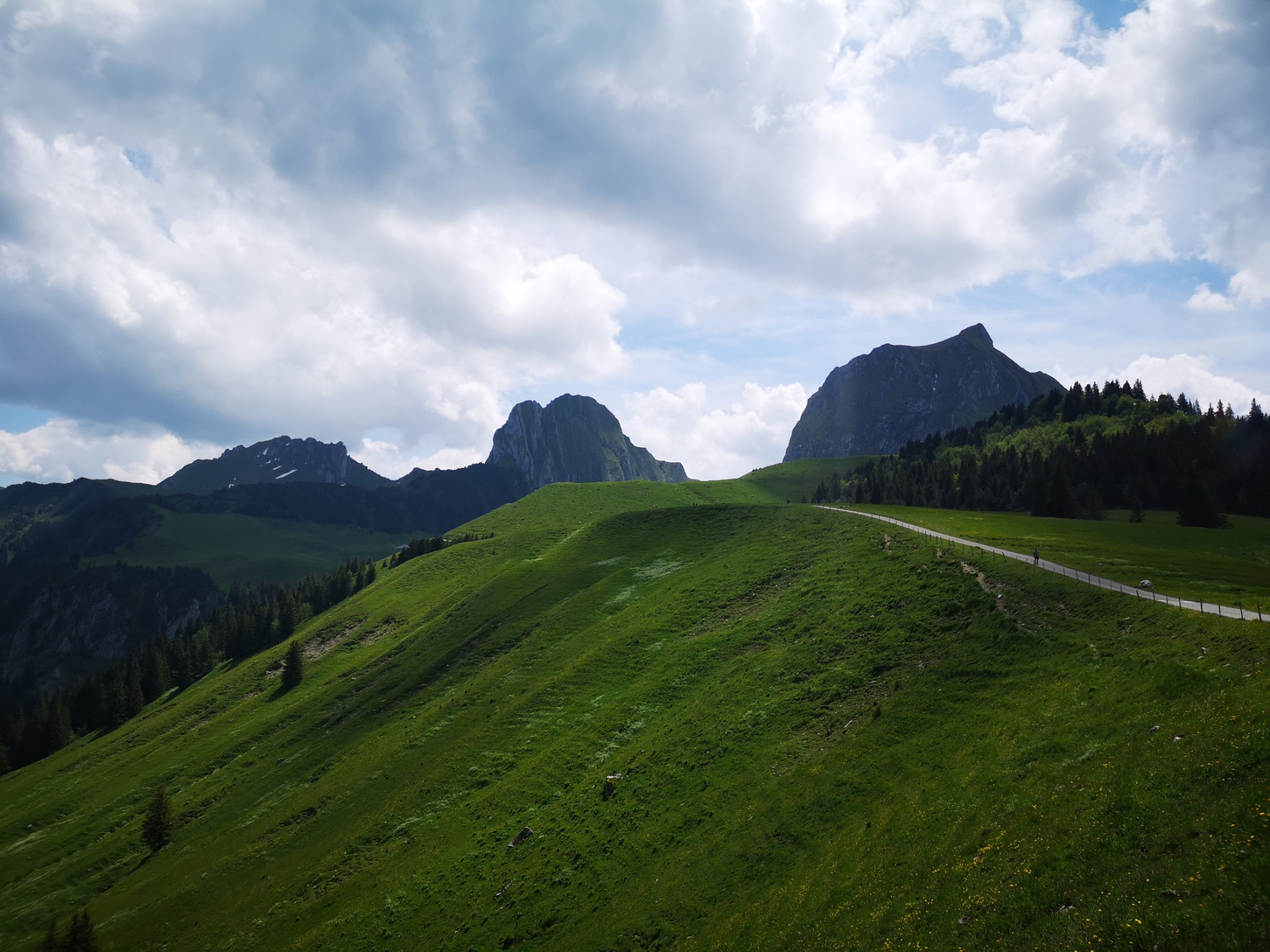
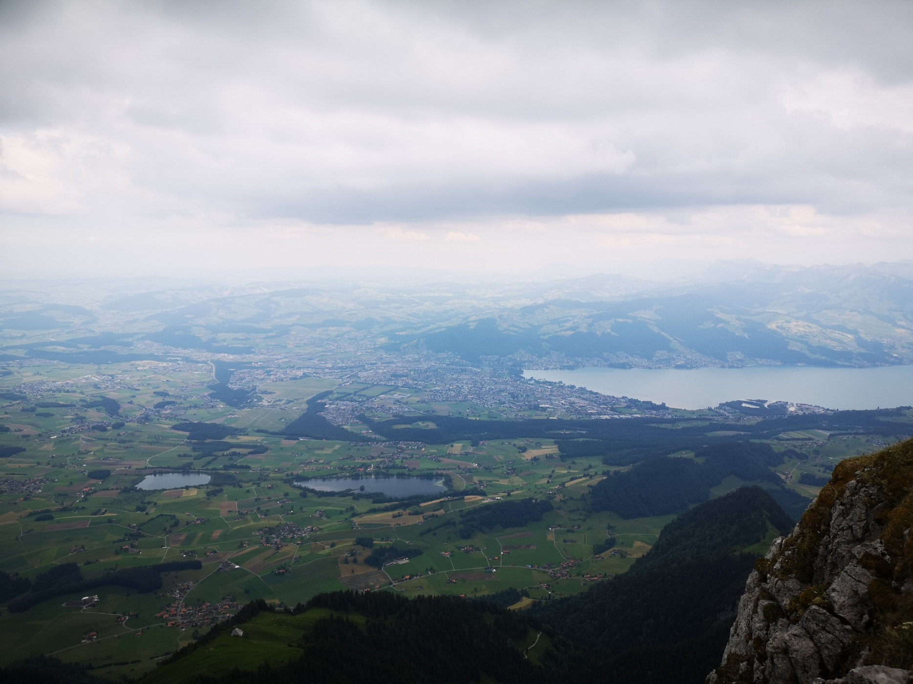
Naturpark Gantrisch - Between the Gurnigel area and the Simmental, the impressive Gantrisch chain rises, which also includes the distinctive rock summit of the Stockhorn. Along this chain runs the classic high-altitude route Gurnigel-Stockhorn. The views of the Bernese Alpine world, Lake Thun, and the Simmental are unique and breathtaking. As a reward, the magnificent panoramic view from the 2190 m high Stockhorn awaits.
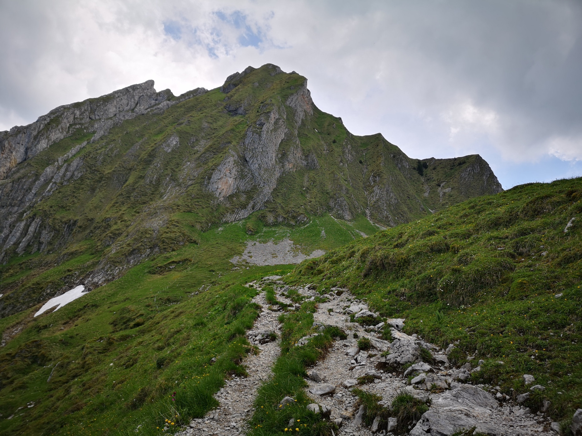
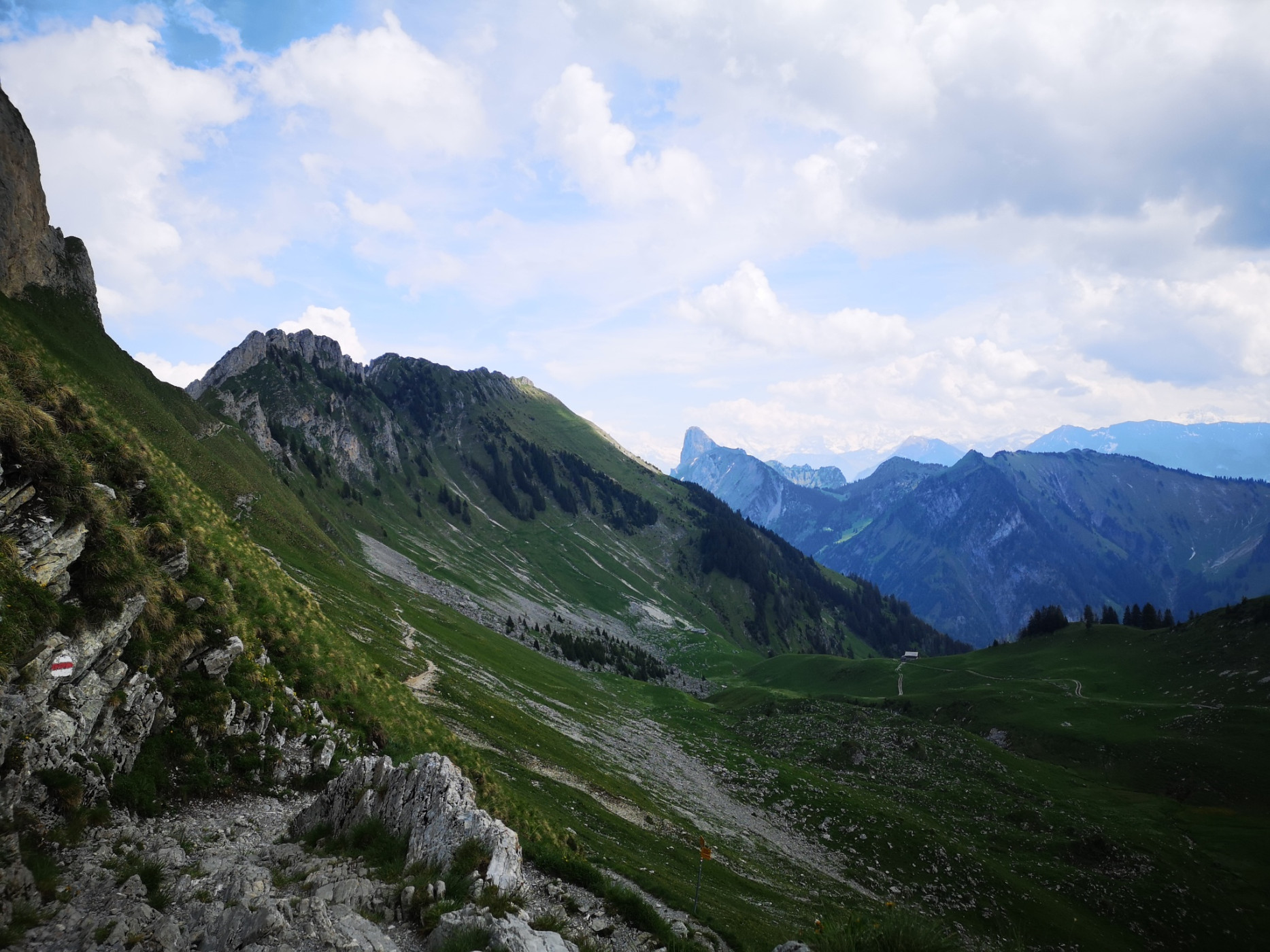
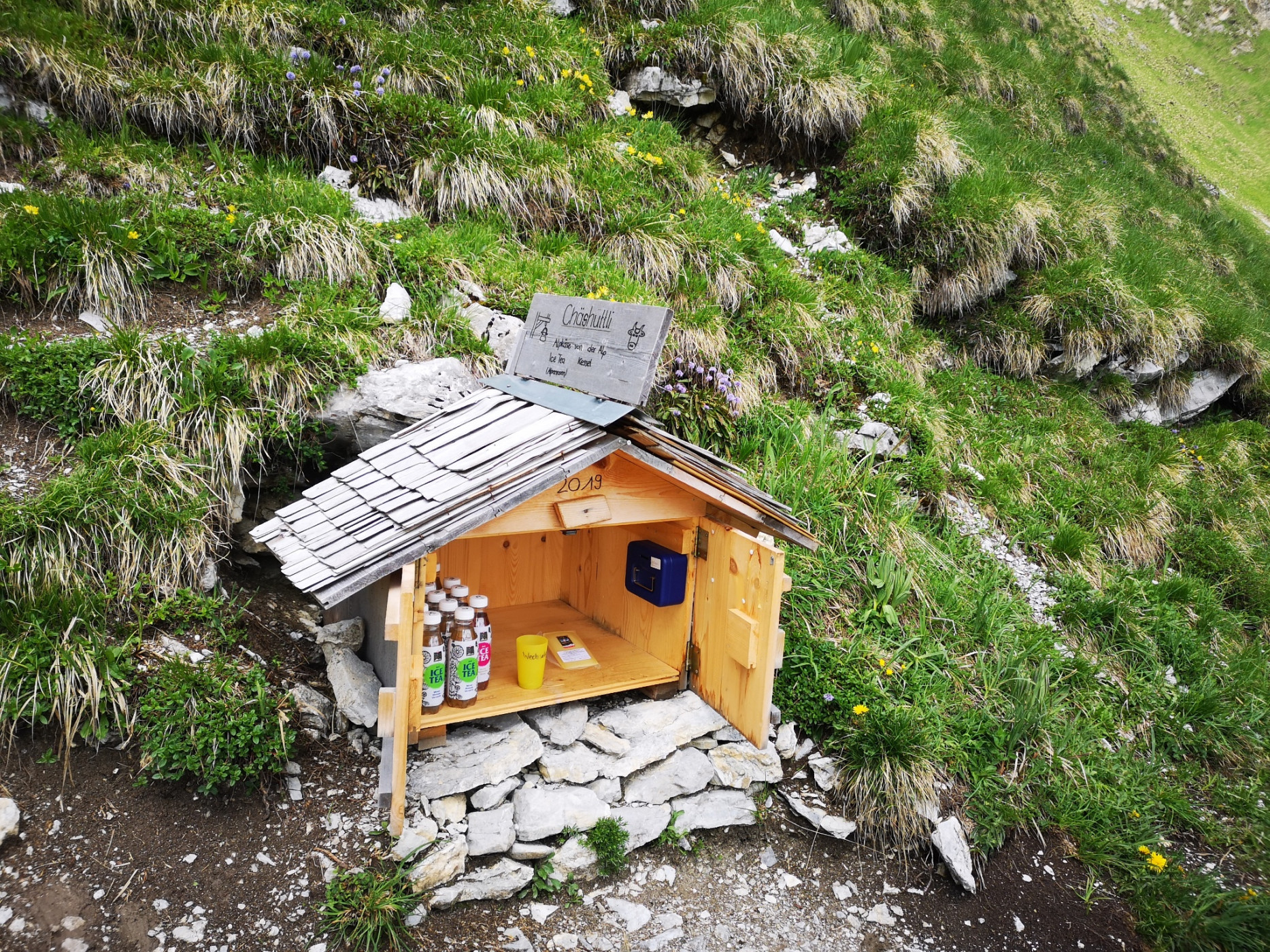
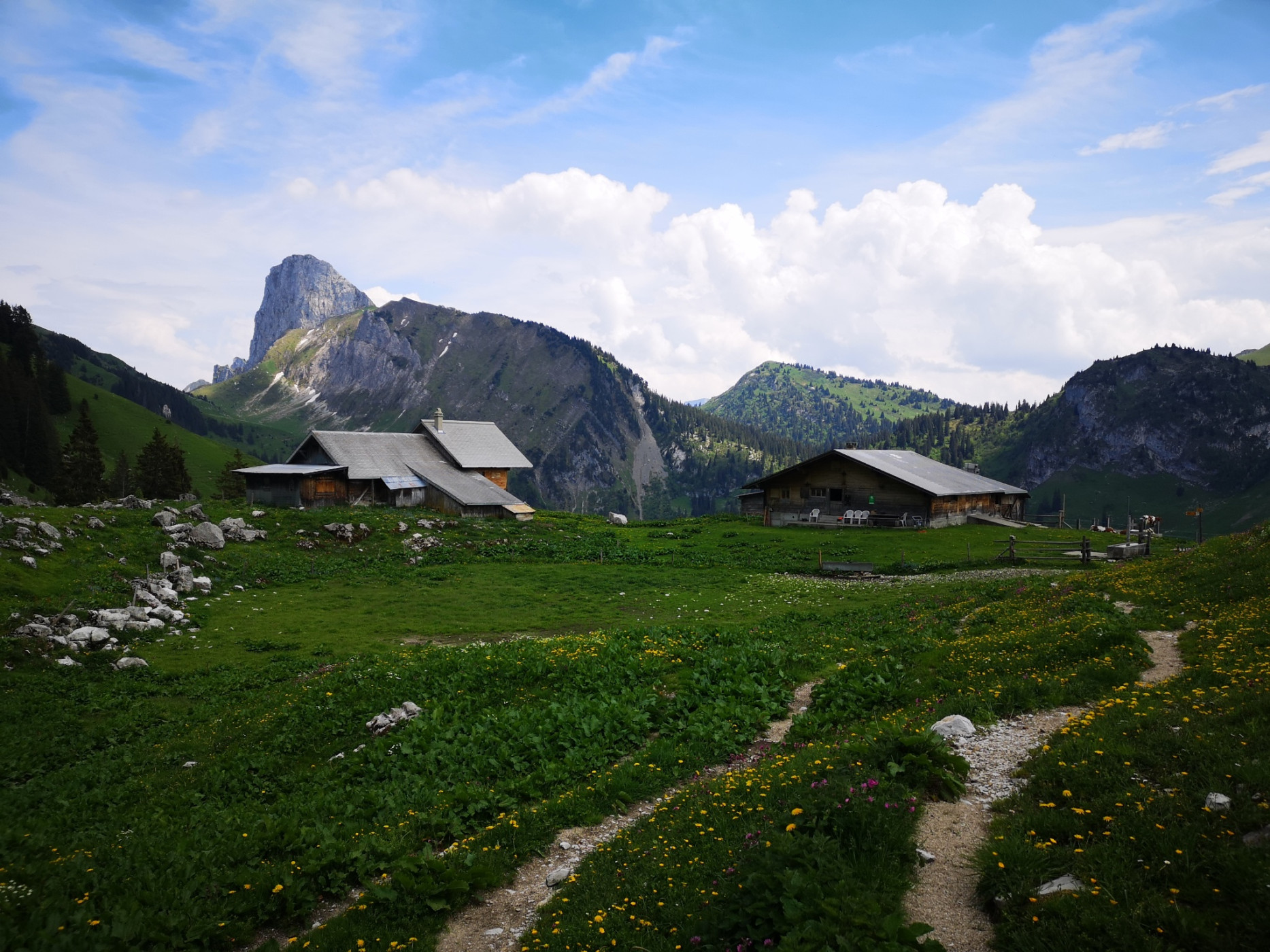
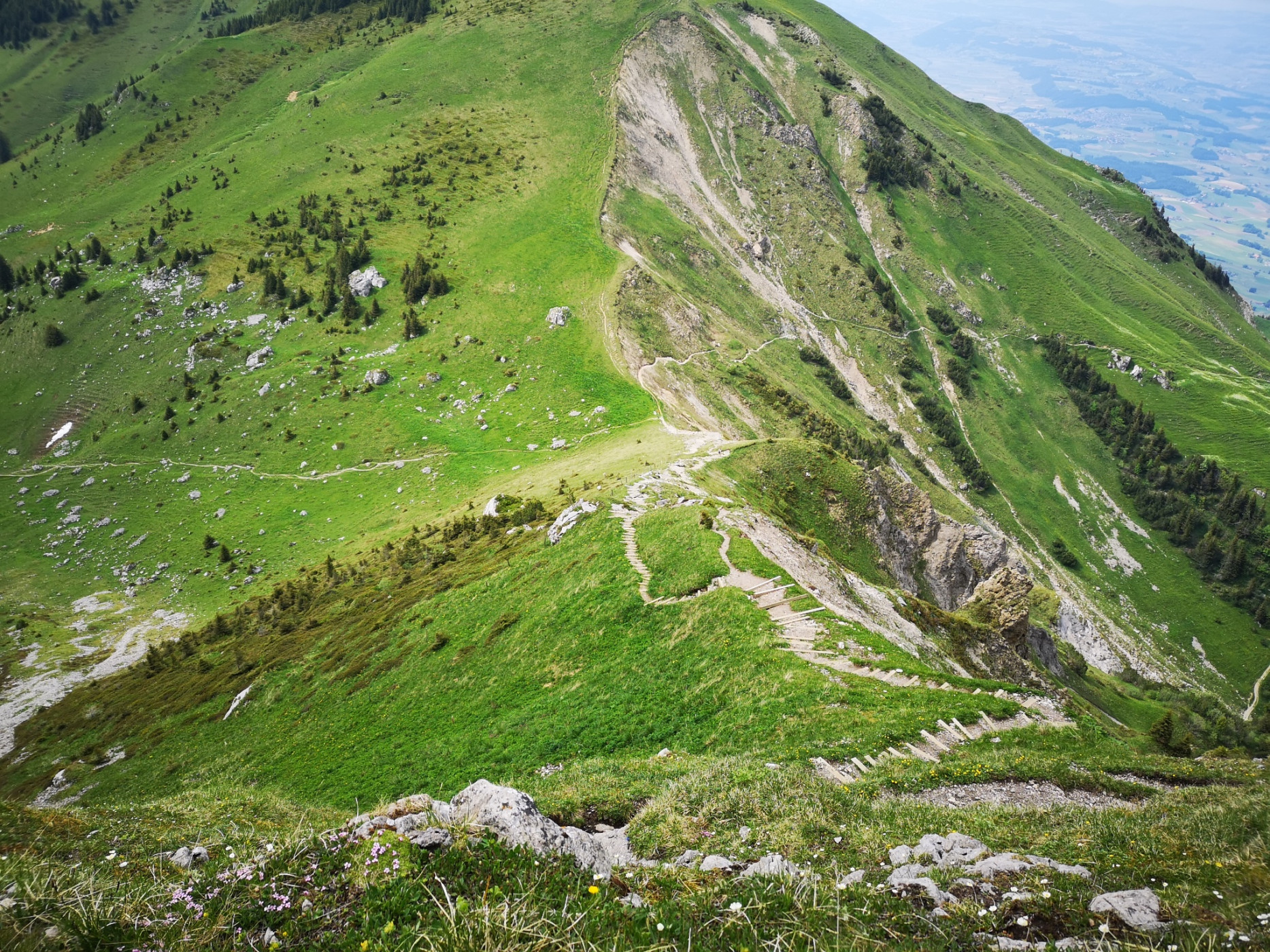
Starting at the Gurnigel watershed, the path initially follows an asphalted and then a gravelled alpine road to the Alp Obernünenen. At Alp Obernünenen, a small refreshment or snack can be taken. Then the ascent to the Leiterepass at 1904 m begins on the stony path. Once at the top, a wonderful view opens down into Chessel as well as to the Chesselgrat. Far off to the east, the Stockhorn can also be seen—the goal of this route.
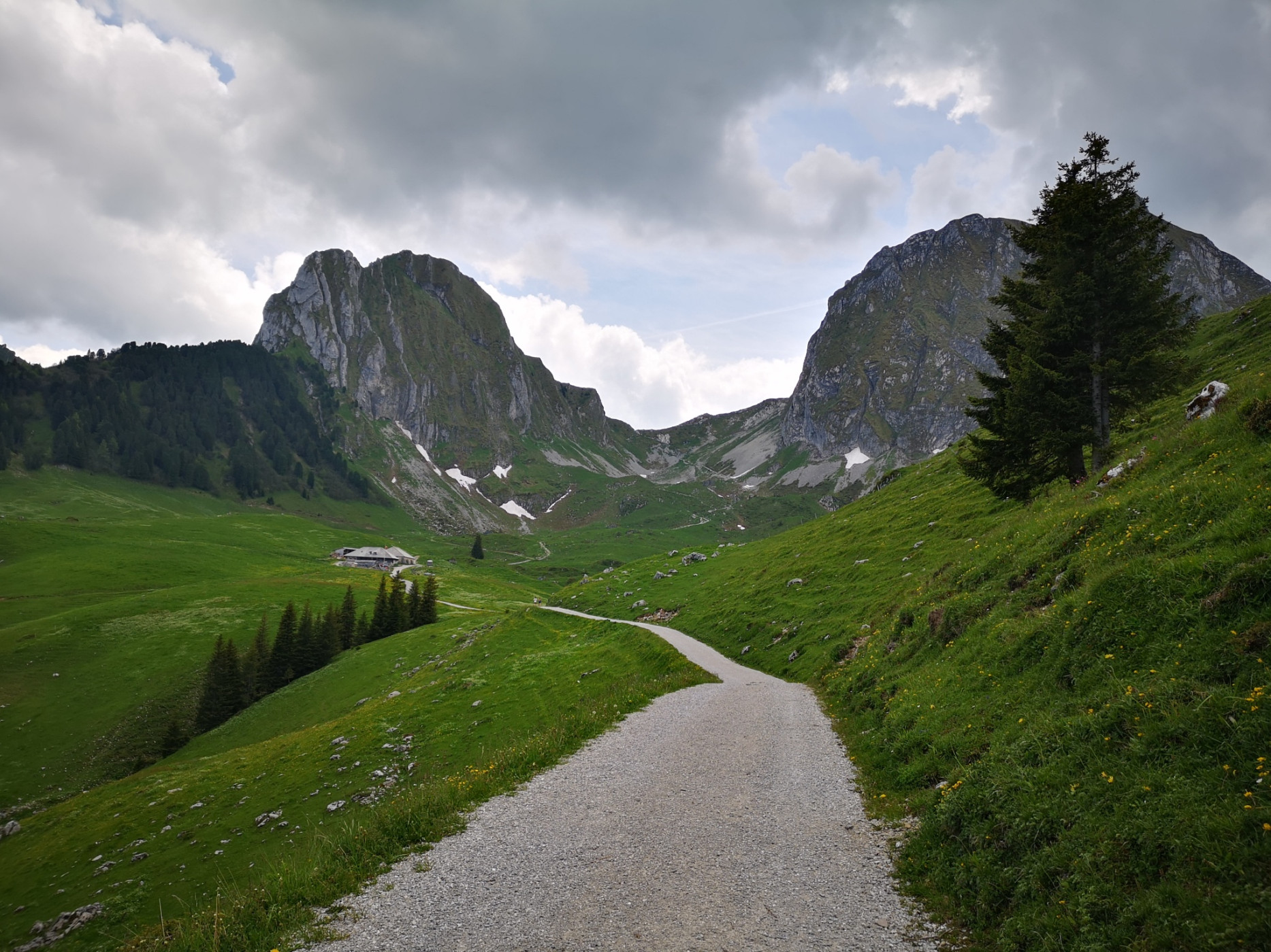
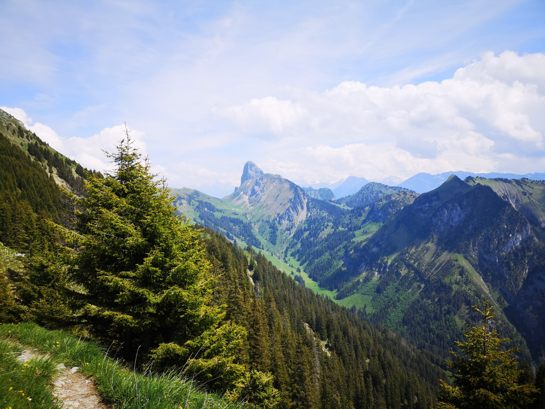
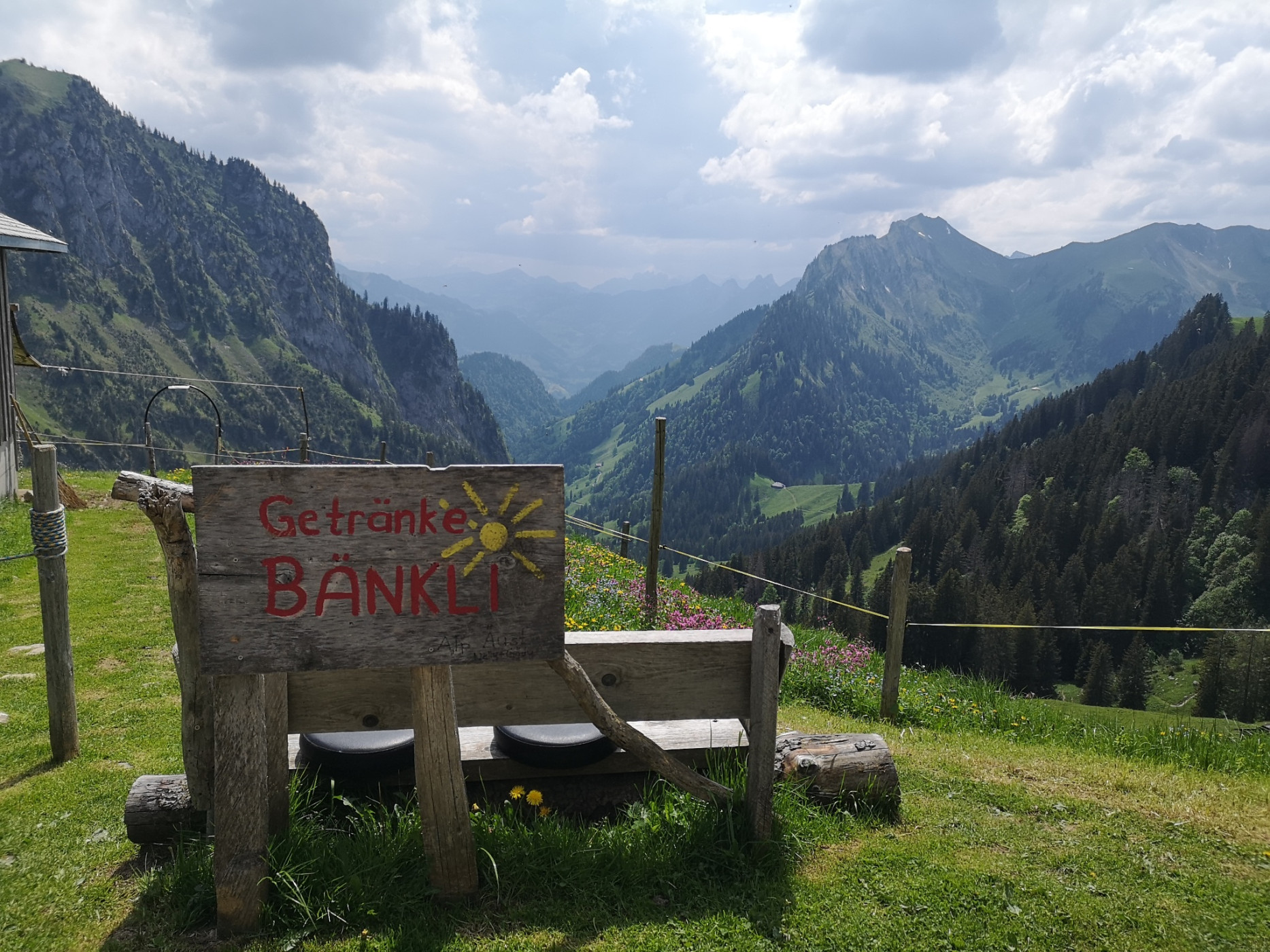
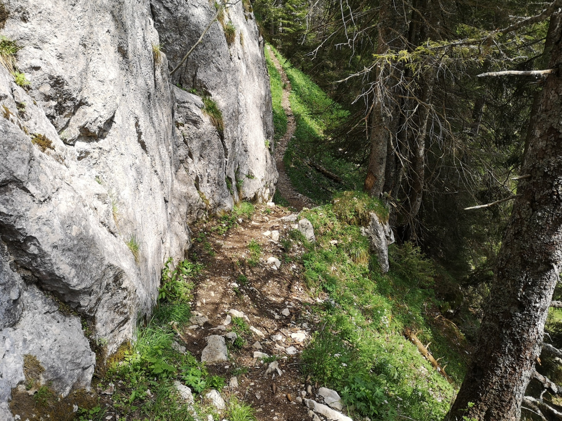
Now the actual high-altitude trail begins under the gigantic Gantrisch chain. From Leiterepass, the upcoming path can be seen. Along the southern slope of Chummfadeflue, Stubeflue, and Homad, the path leads with few altitude meters to be mastered. Passing Chuelouenen and Stierehütte, one reaches the Oberi Walalp. At the organic Demeter alpine farm with dairy cows, cattle, alpine pigs, and chickens, you can buy a fine piece of Bernese alpine cheese AOP.
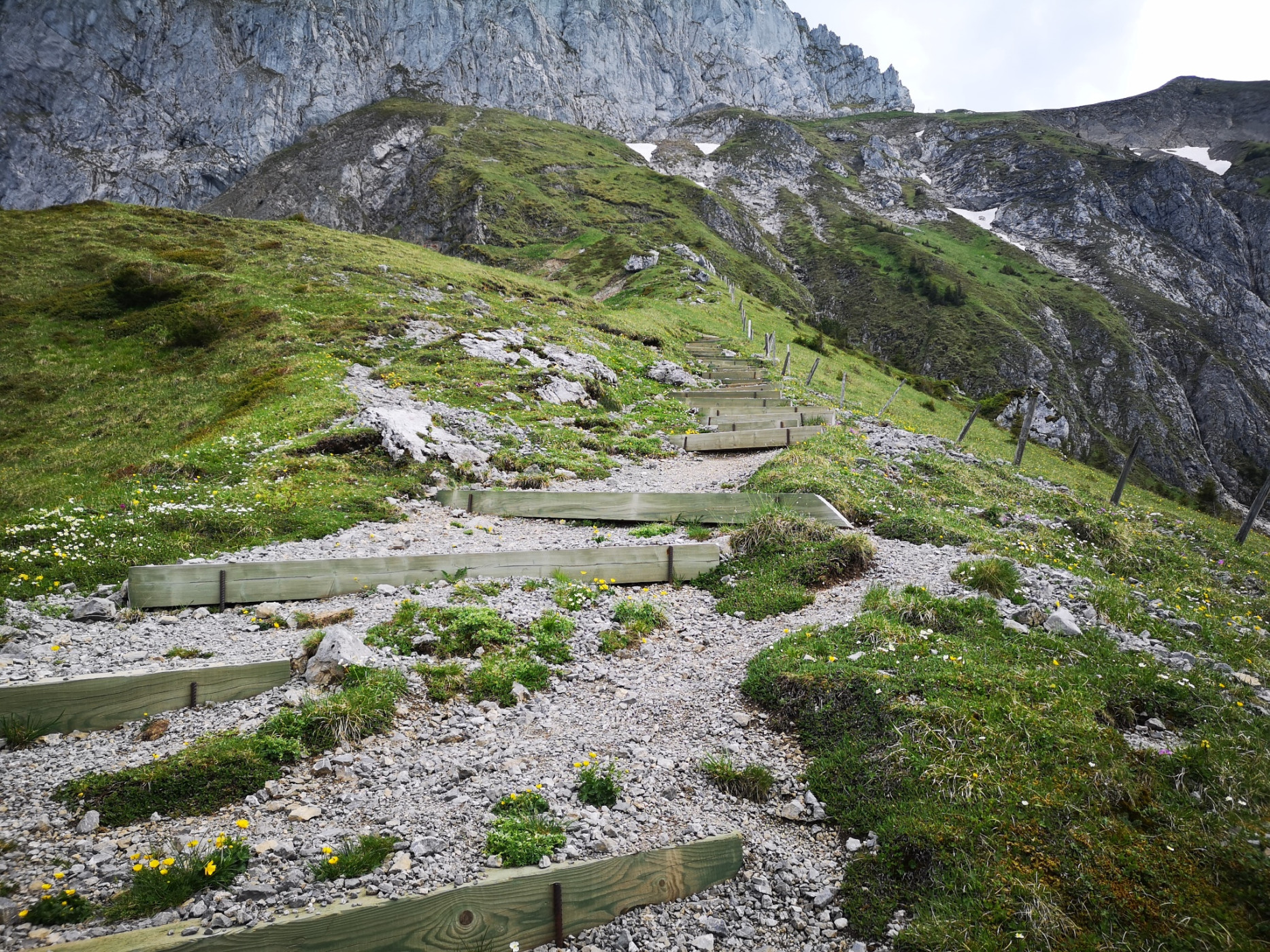
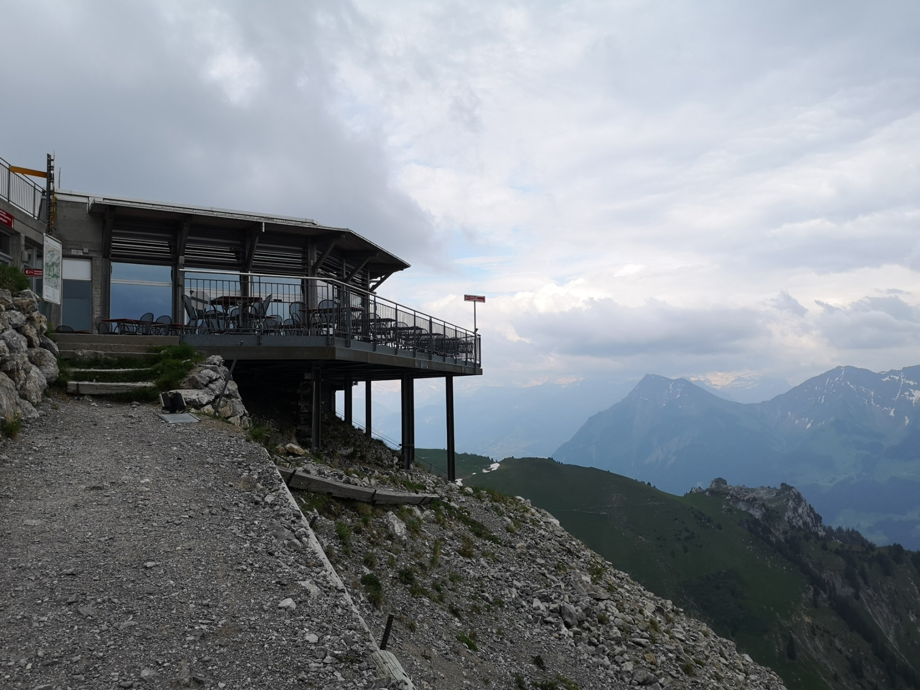
Once there, you stand at the foot of the massive rock face of the Stockhorn, which is now climbed. The final ascent should not be underestimated, as countless stairs lie ahead. The path zigzags upwards before the relieving view of the mountain station can be caught. For those who want, the last few altitude meters can be covered to the Stockhorn summit for a wonderful panoramic view, or you can enjoy the view from the restaurant.
Route-information
Route-information
- Length
- 11.30 km
- Altitude difference ascent
- 896 m
- Altitude difference descent
- 295 m
- Time required
- 4 hours 15 minutes
- Level technique
- Easy
- Level condition
- Middle
Details
Route with Swiss Mobility
Equipment / Equipment rent
Weather-appropriate hiking equipment
Arrival
Arrival
- Starting point
- Gurnigel, Wasserscheide
- Destination
- Stockhorn
Suitable for
The offer is suitable for
- Adults
- 50+
Season
June, July, August, September, OctoberContact
Naturpark GantrischFörderverein Region Gantrisch
Schlossgasse 13
3150 Schwarzenburg
T +41 (0)31 808 00 20
www.gantrisch.ch