

Hiking trail Escholzmatt-Wiggen-Marbach
UNESCO Biosphäre Entlebuch - The stroller-friendly hiking trail Escholzmatt-Wiggen-Marbach is equipped with cozy and varied resting areas.
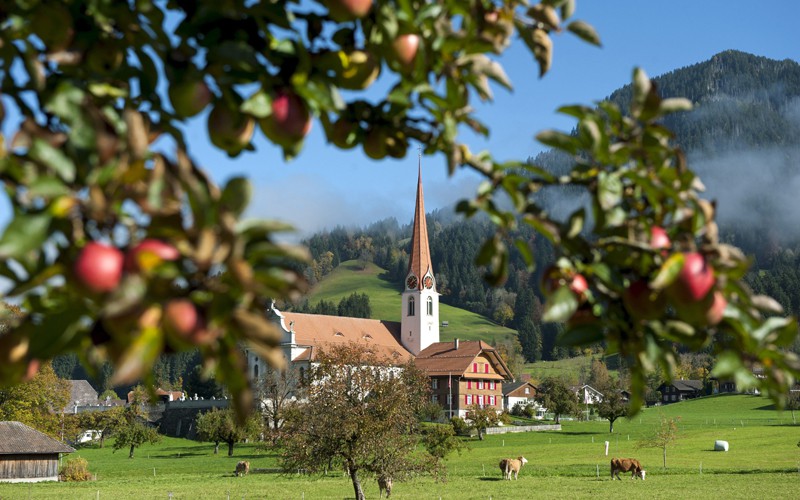
The hiking trail from Escholzmatt to Wiggen and Marbach is ideal for families as it has no major ascents or descents and offers several beautiful rest spots for relaxing. There is plenty of interesting things for both young and old to discover and play with.
The trail starts at Escholzmatt station and first follows the railway line until Gigenstrasse, where you turn towards Gigen. Along this route, you have a good view of the local mountain Beichle and the gentle rolling landscape. The distinctive round hills were shaped by earlier glaciations. They received their current form from the ice of the Waldemme glacier. You can learn more about this on the Geo-Trail.
After Gigen, you walk back towards the main road. The trail then follows the Äschlibach stream towards Wiggen. At Kreuzmatte Wiggen, a new rest area with a grill and playground awaits. Perfect for a first stop. A shelter with tables provides generous space to linger. The Villa Kunterbunt and other original play equipment immediately captivate the children.
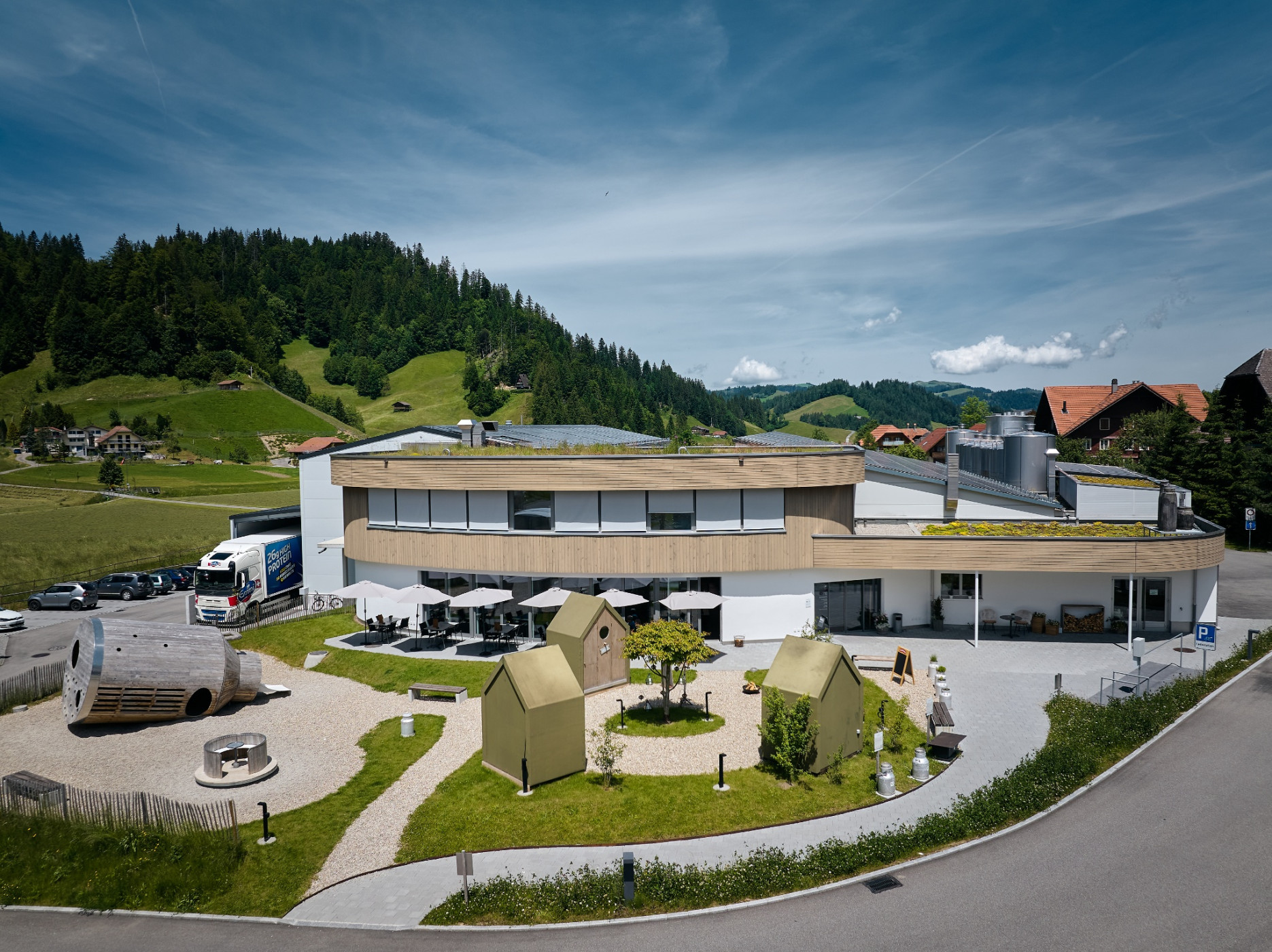
Refreshed, you continue to Wiggen, where after turning towards Marbach you cross the road and then follow the Ilfis river to Marbach. Another beautiful rest spot awaits by the Schachenhus pond. There is also a new shelter here with tables and benches. It offers shade or shelter from the rain and invites you to relax. Comfortable loungers are available for resting and enjoying. From here, you walk along the Schonbach stream to the village of Marbach. A wide selection of excursions is available here. A visit to the adventure cheese dairy lies directly on the path. Or you can walk a bit further to the valley station of the Marbachegg gondola and ride up in 10 minutes to the Marbachegg, where an unexpected, special view awaits: Schibegütsch and Hohgant form the horizon, and in between opens the view to the Bernese high Alps with Schreckhorn, Finsteraarhorn, and Eiger.
Route-information
Route-information
- Length
- 9.60 km
- Altitude difference ascent
- 141 m
- Altitude difference descent
- 126 m
- Time required
- 2 hours 30 minutes
- Level technique
- Easy
- Level condition
- Easy
Details
Escholzmatt-Marbach Tourism
Tourism Info Escholzmatt
Bahnhofstrasse 16
CH-6182 Escholzmatt
Phone +41 (0)41 486 01 30
www.escholzmatt-marbach-tourismus.ch
- Suitable for strollers
- child-friendly
Equipment / Equipment rent
Good footwear, a rain jacket & sufficient drinking water for the journey are essential for every hike.
Signalization
Escholzmatt station - Gigen - Kreuzmatte - Wiggen - Schachenhus - Bachmatte - Village Marbach
Arrival
Arrival
- Starting point
- Bahnhof Echolzmatt
- Arrival by public transport
- Escholzmatt, Bahnhof Timetable SBB
- Destination
- Dorf Marbach
Suitable for
The offer is suitable for
- Adults
- Children < 6 years
- Children from 7-12 years
- Children >12 years
- 50+
- Families

Season
March, April, Mai, June, July, August, September, OctoberContact
UNESCO Biosphäre EntlebuchBiosphärenzentrum UNESCO Biosphäre Entlebuch
Chlosterbüel 28
6170 Schüpfheim
T +41 41 485 42 50
www.biosphaere.ch