


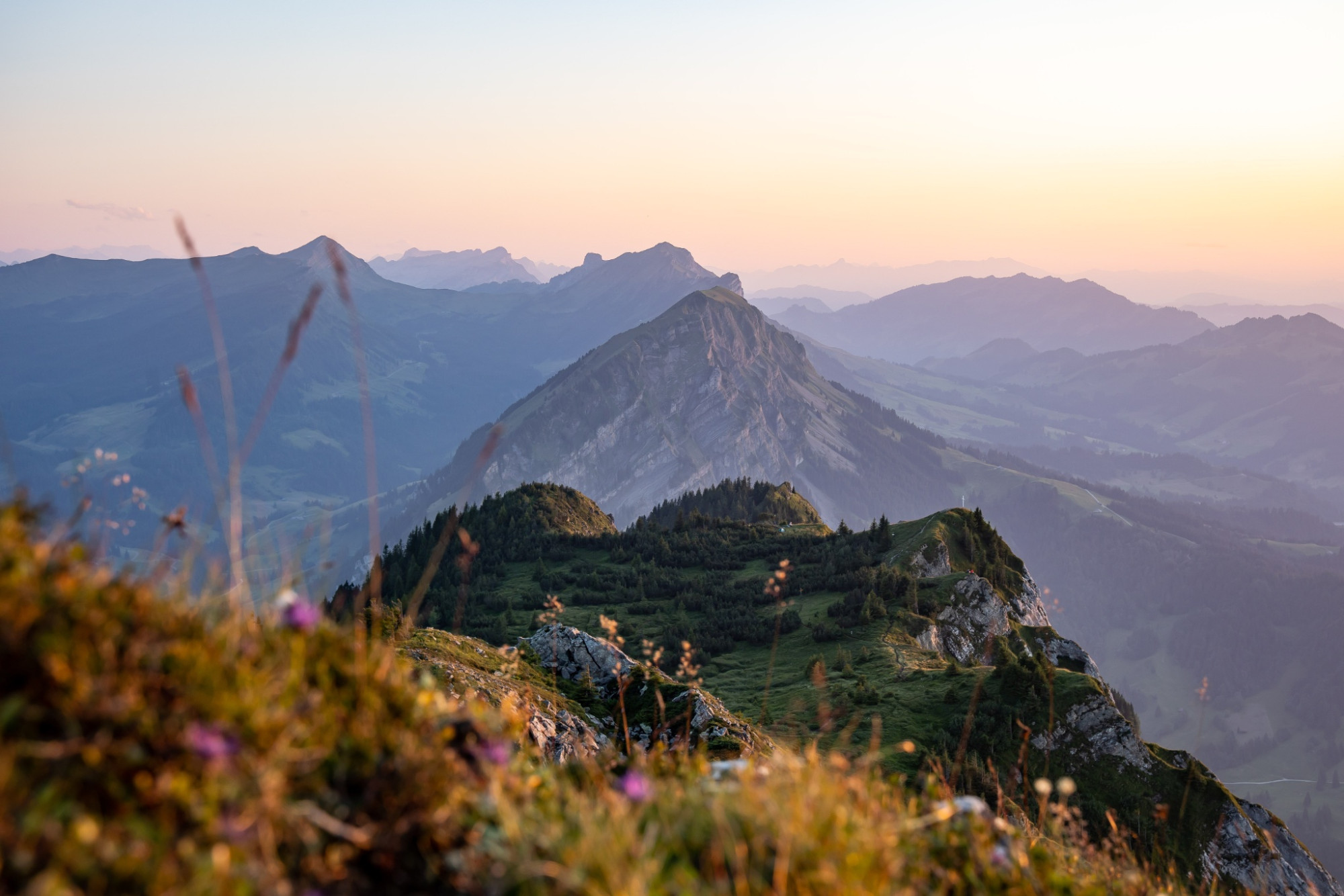
Mountain hike over the Risete
UNESCO Biosphäre Entlebuch - There is no better panoramic view - the Risete mountain range with the Blaue Tosse is the local mountain of the inhabitants of Entlebuch.
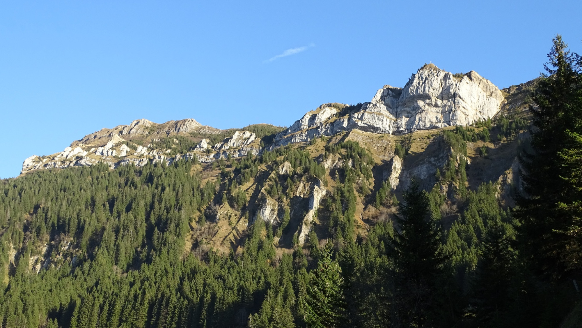
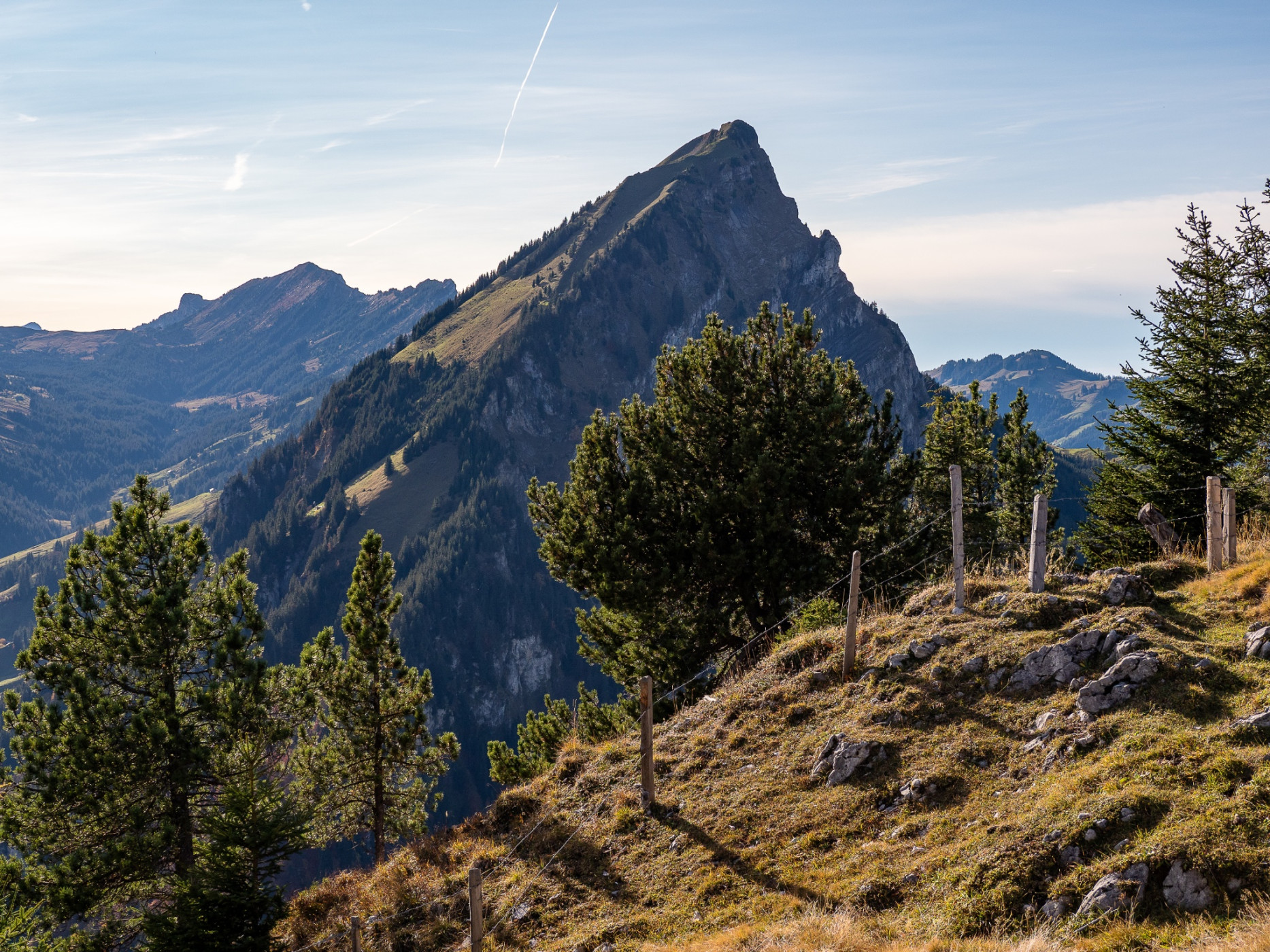
The mountain path is consistently marked with white-red-white markings. The hiking route starts at the Restaurant Gfellen and leads moderately along the Riesete forest to Alp Risete - the ancient hut under heritage protection is a feast for the eyes. Then follows the sweaty ascent to Blaue Tosse, where in addition to a wonderful panoramic view of the Glarus Alps, Titlis, Eiger, Mönch, Jungfrau, Fribourg Alps, Jura, and some Mittelland lakes, a summit cross also awaits. Treat yourself to a rest and sign the summit register. Chamois and ibex are often seen in the Risete mountain range. The flora is also extremely diverse. The small raised bog with the dwarf pines below the cross is impressive, as is the section on the south side with the bright limestone rocks. Enjoy this fantastic mountain landscape in peace before you start the descent.
At Alpeli (signpost) there is a shelter with a rest area inviting for a lunch break. The remaining descent first proceeds somewhat steeper through the forest, later more moderately back to Restaurant Gfellen.
Route-information
Route-information
- Length
- 9.45 km
- Altitude difference ascent
- 827 m
- Altitude difference descent
- 827 m
- Time required
- 4 hours 15 minutes
- Level technique
- Middle
- Level condition
- Hard
Details
Tourism Municipality Entlebuch
CH-6162 Entlebuch
info@tourismus-entlebuch.ch / www.tourismus-entlebuch.ch
Equipment / Equipment rent
Good footwear, rain jacket & sufficient drinking water for the way are essential for every hike.
Further tips for safe hiking, information on suckler cow herds and livestock guardian dogs, and much more can be found on the Swiss Hiking Trails website.
Safety advices
Mountain hiking trail with partly steep sections, to be traversed very carefully under wet conditions, a few sections are secured with ropes and chains, large altitude difference.
Signalization
Gfellen – Gfelleschilt - Ristetealp – Blaue Tosse – Älpeli – Mittlisthütte – Hintergfellen - Gfellen
Undertake the hike following the described route (clockwise).
Arrival
Arrival
- Starting point
- Restaurant Gfellen
- Arrival by public transport
- Gfellen Timetable SBB
- Destination
- Restaurant Gfellen
Suitable for
The offer is suitable for
- Adults
- Children >12 years
- Families


Season
Mai, June, July, August, September, OctoberContact
UNESCO Biosphäre EntlebuchBiosphärenzentrum UNESCO Biosphäre Entlebuch
Chlosterbüel 28
6170 Schüpfheim
T +41 41 485 42 50
www.biosphaere.ch