

rund um sulz
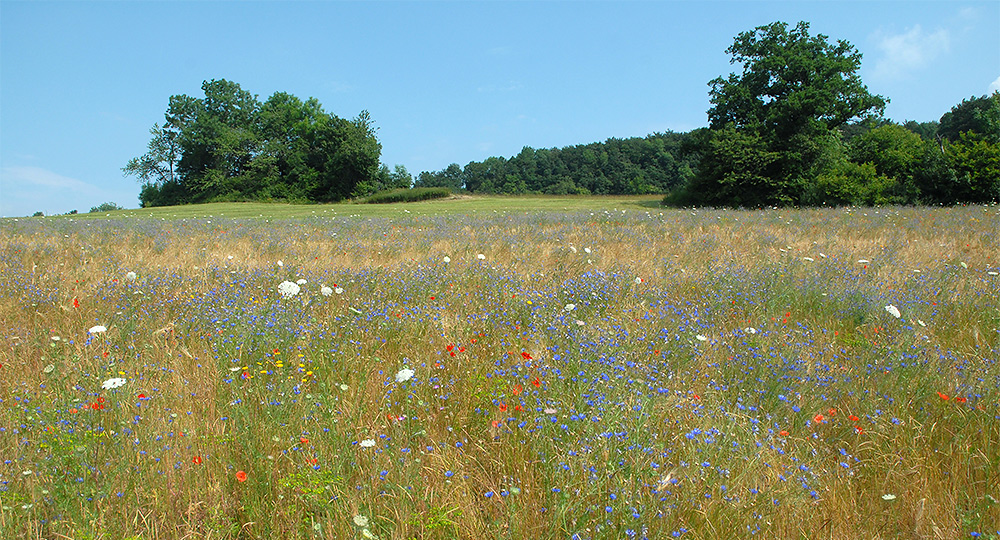
Jurapark Aargau - rund um sulz is a 25-kilometer long, varied circular route with a connection to the Fricktal Höhenweg. Hike through wild forests and picturesque cultural landscape, enjoy the view, and refresh yourself with regional delicacies.
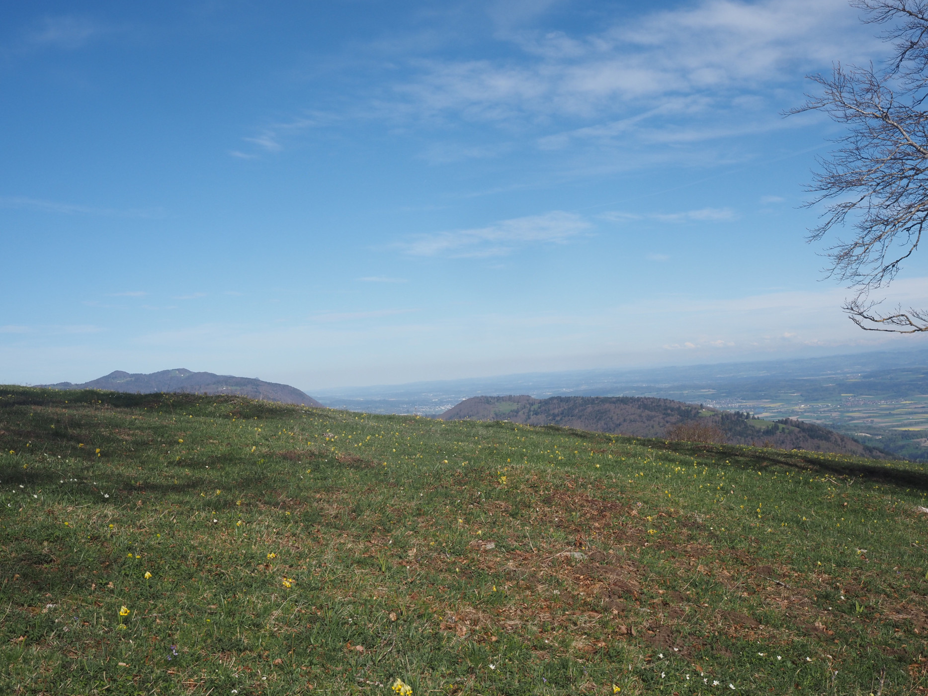
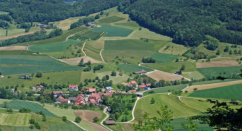
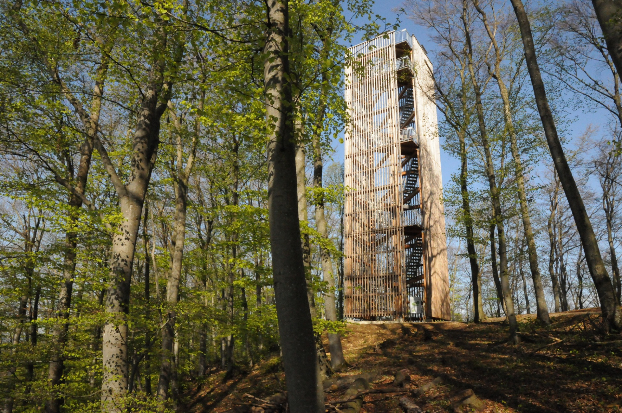
The start of the circular hike is in Rheinsulz at the boat dock. From there, it goes past the chapels of Rheinsulz and Leidikon, continues to the amphibian pond Schwarzrain and the idyllic hamlet of Schlatt. A highlight is the ascent to Cheisacher, where the observation tower and inviting fire pits invite you to rest. The path then leads into the historically significant Marchwald. Here, a border stone from 1571 marks the former border between the Old Swiss Confederacy and the Habsburg Fricktal. At the Gänter rest stop, a spectacular view opens over the entire Sulz valley with the districts Obersulz, Mittelsulz, and Bütz. The Schinberg is the highest point of the hike. On the west side of the Sulz valley, the path leads through the district Sulzerberg, the hamlet Voregg, and past the Lourdes grotto. A last view of the Black Forest accompanies the descent, which meets the valley road above the restaurant Fischergut and then leads back to the starting point.
Route-information
Route-information
- Length
- 24.06 km
- Altitude difference ascent
- 670 m
- Altitude difference descent
- 669 m
- Time required
- 6 hours 37 minutes
- Level technique
- Middle
- Level condition
- Hard
Details
Refreshments and shopping: Fischergut and numerous other restaurants and shopping options in Laufenburg.
Strollers & accessibility: not suitable
Fire pits: several fire pits on the circular route, see the map.
Toilets: in Sulz near the church
Parking: At the parking lot by the Rhine there are few public parking spaces, more in Laufenburg at the train station. For an authentic nature park experience we recommend arriving by public transport.
Bookable offers: A guided hike with a landscape guide can be booked at Jurapark Aargau.
More info on the route in the Laufenburg region leisure map or in the PDF hiking route
Signalization
The circular route is marked with red signposts.
Arrival
Arrival
- Starting point
- Rheinsulz
- Arrival by public transport
- Rheinsulz, Dorf Timetable SBB
- Destination
- Rheinsulz
Suitable for
The offer is suitable for
- Adults
- Children >12 years
- 50+
Season
All season
Contact
Jurapark AargauJurapark Aargau Geschäftsstelle
Linn 51
5225 Bözberg
T 062 877 15 04
www.jurapark-aargau.ch