
Alpenpanoramaweg stage 17 (SchweizMobil 3)
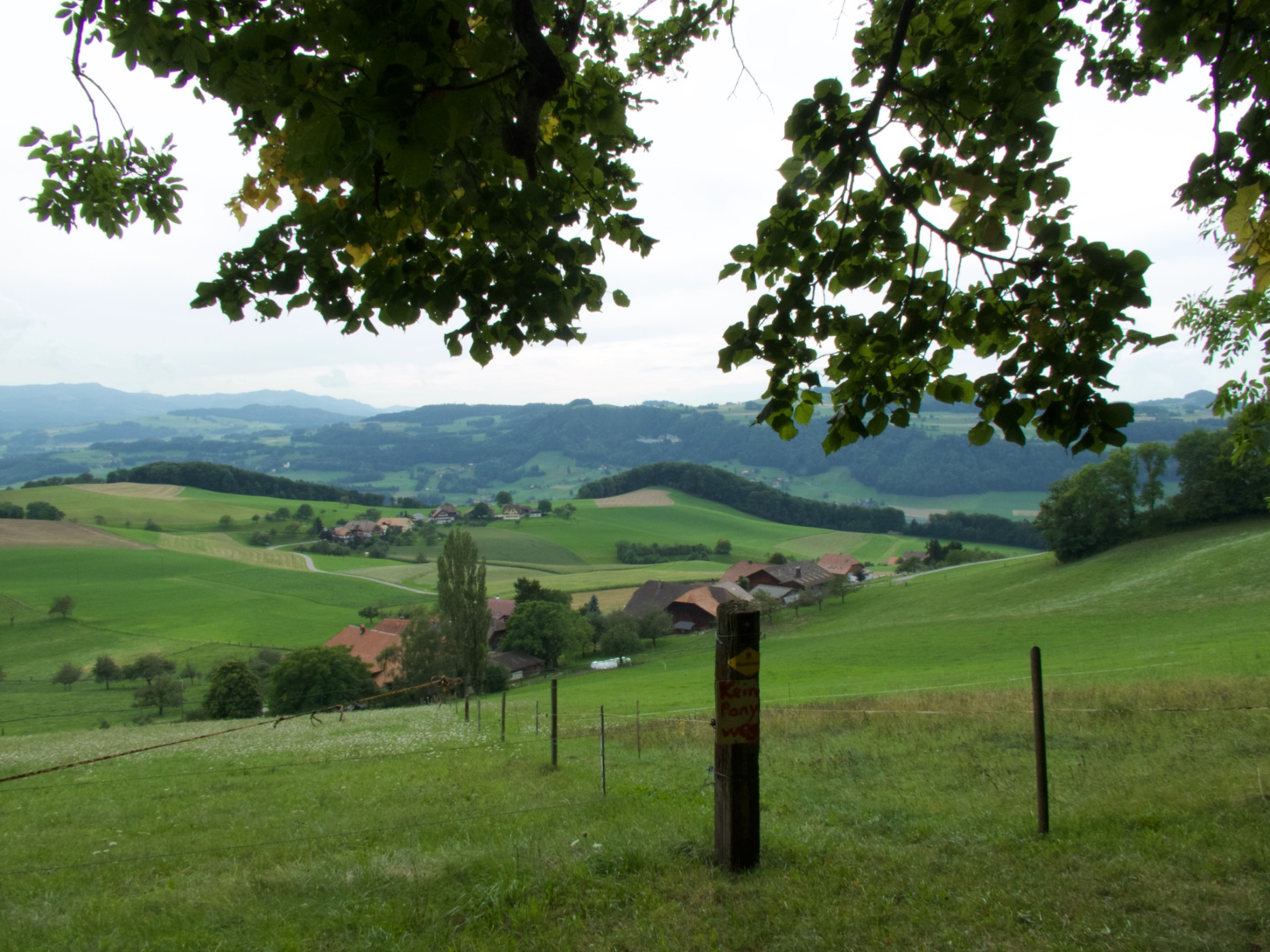
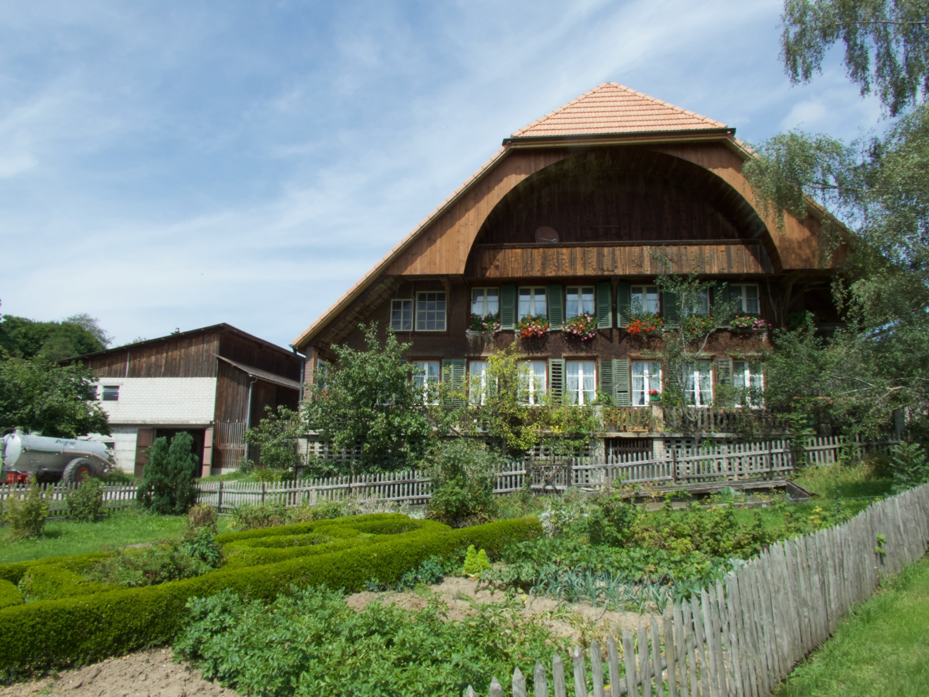
Naturpark Gantrisch - From the Aaretal over the Belpberg, down into the Gürbetal and then back up onto the Längenberg. Along this route, there are repeatedly magnificent views as well as small villages in the Bernese Gürbetal.
Stage 17. Münsingen - Rüeggisberg
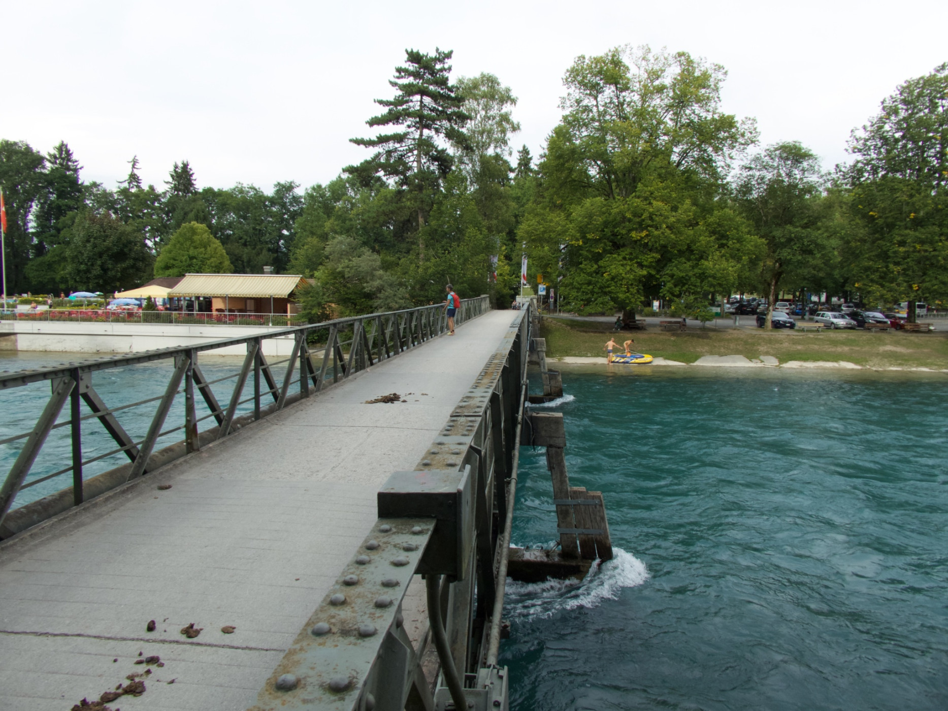
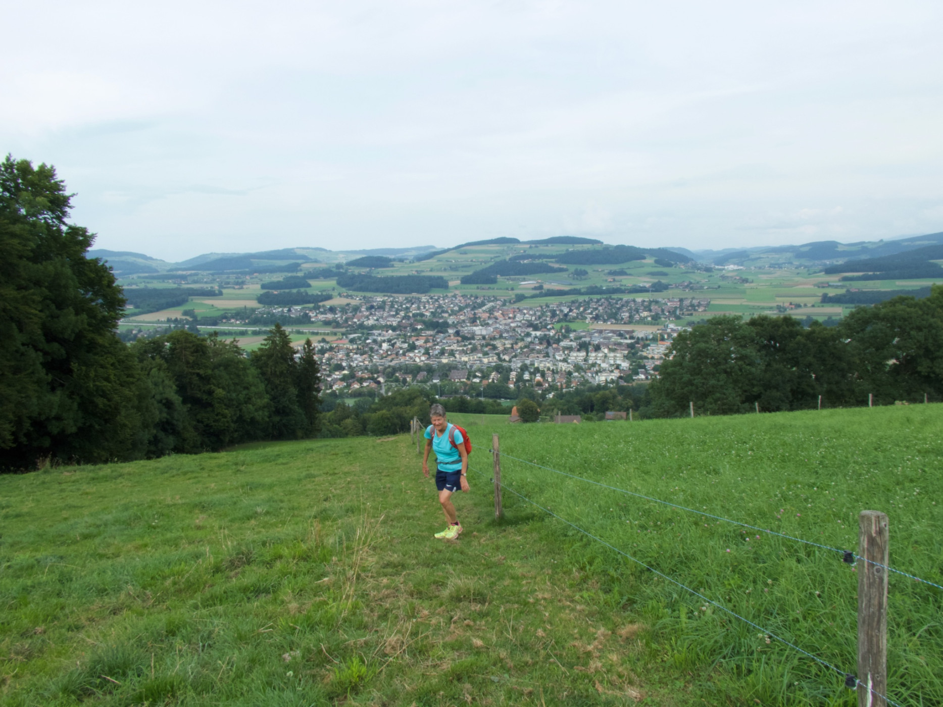
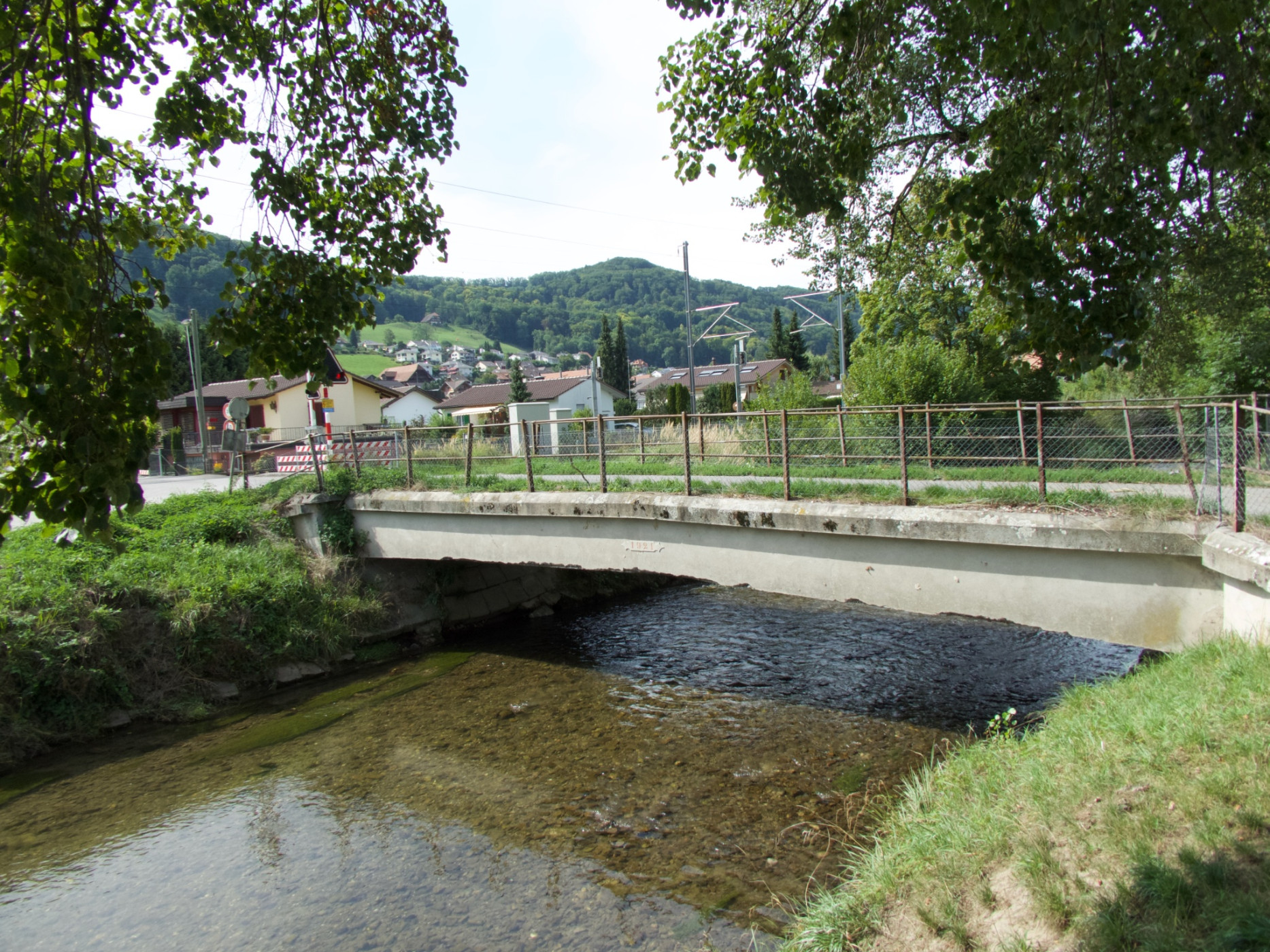
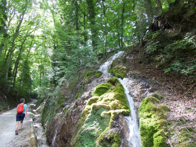
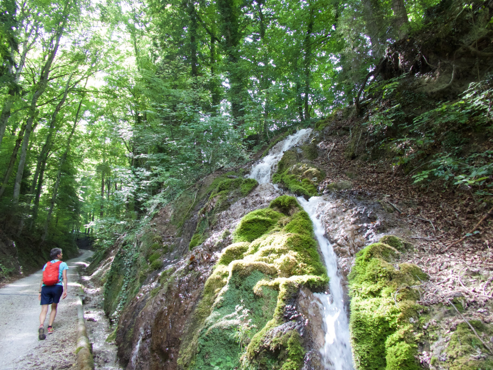
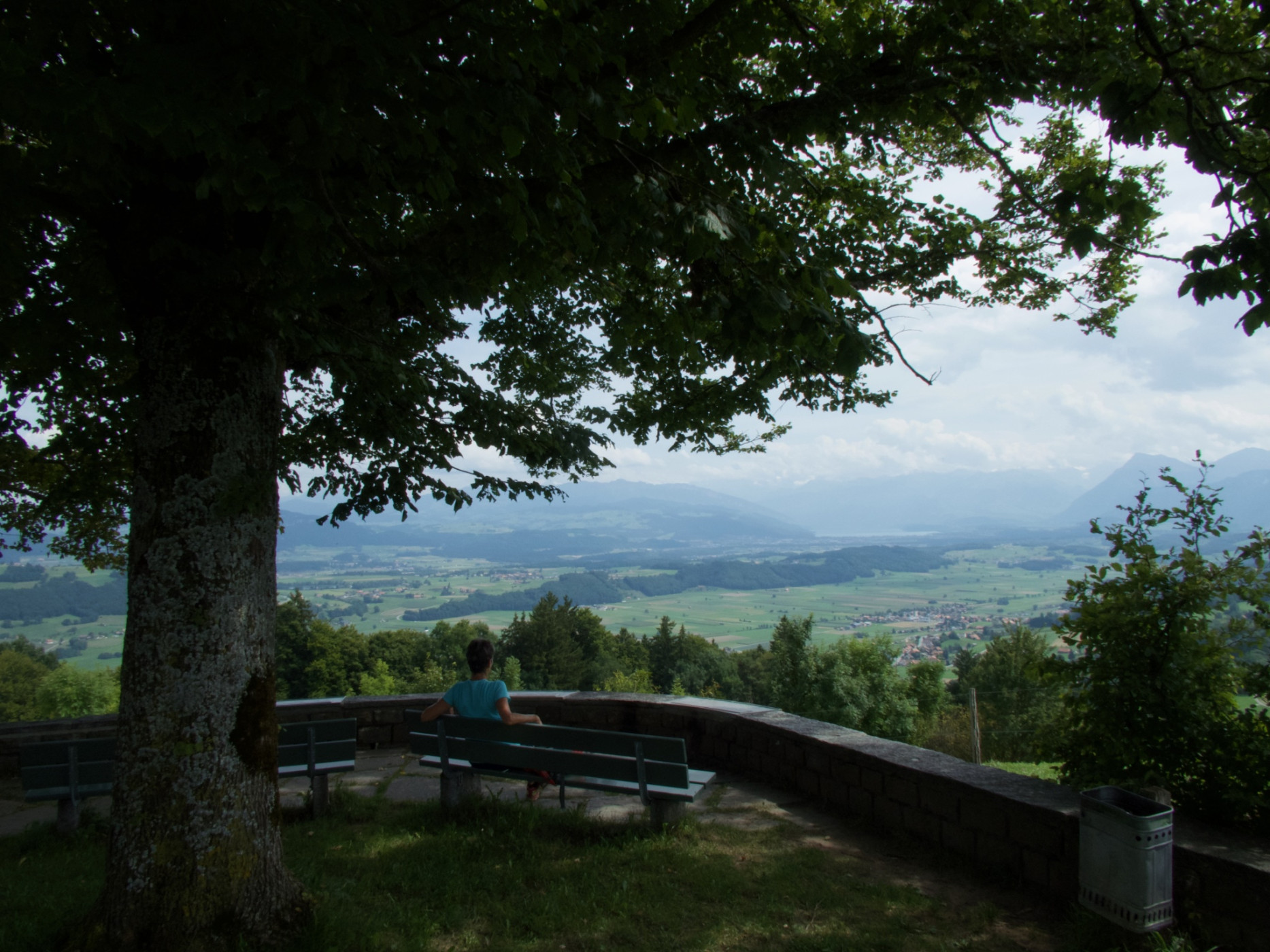
The starting point of this route is the Münsingen train station. The first part proves to be leisurely. Through the village, along the stream, over the highway and finally over the Aare, before the partly steep ascent follows. The path leads via stairs and trails to Hintere Chlapf. The sweaty ascent is repeatedly rewarded with a beautiful view spanning from the Aare to the Emmental. After crossing the Belpberg, a fabulous view opens up on the other side. The panorama lives up to the name of the route: Fantastic is the wide view towards Gantrisch and the surrounding mountain peaks. Downhill, one continues to Toffen. The village lies in the Gürbetal, picturesquely nestled between Längenberg and Belpberg. By now, after about three hours, half of the hike is completed.
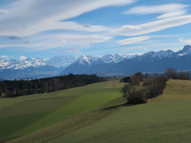
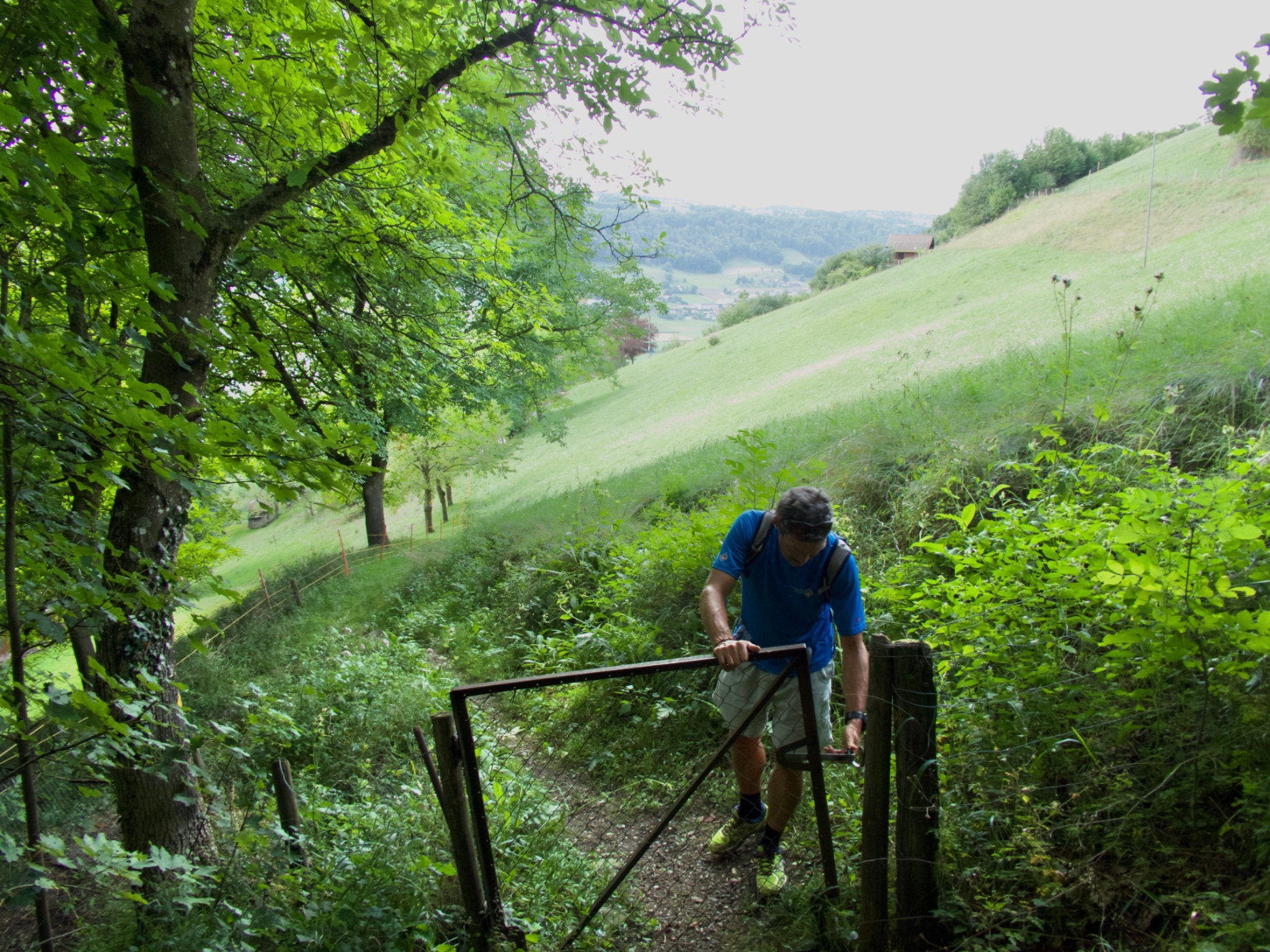
Forest and meadow sections alternate up to Leueberg. The beautiful rest area invites you to take a break here. And the alpine panorama reaches its peak: The peaks from Finsteraarhorn over Eiger, Breithorn, and up to Blüemlisalp vie for the viewer's eye. After another hour’s hike through the Taan forest and again over beautiful meadows with a dreamlike view, the stage ends in Rüeggisberg.
Route-information
Route-information
- Length
- 19.44 km
- Altitude difference ascent
- 813 m
- Altitude difference descent
- 407 m
- Time required
- 6 hours 5 minutes
- Level technique
- Easy
- Level condition
- Middle
Details
Equipment / Equipment rent
Normal hiking equipment
Arrival
Arrival
- Starting point
- Bahnhof Münsingen
- Destination
- Rüeggisberg, Post
Suitable for
The offer is suitable for
- Adults
- 50+
- Families
- Groups


Season
March, April, Mai, June, July, August, September, OctoberContact
Naturpark GantrischFörderverein Region Gantrisch
Schlossgasse 13
3150 Schwarzenburg
T +41 (0)31 808 00 20
www.gantrisch.ch