

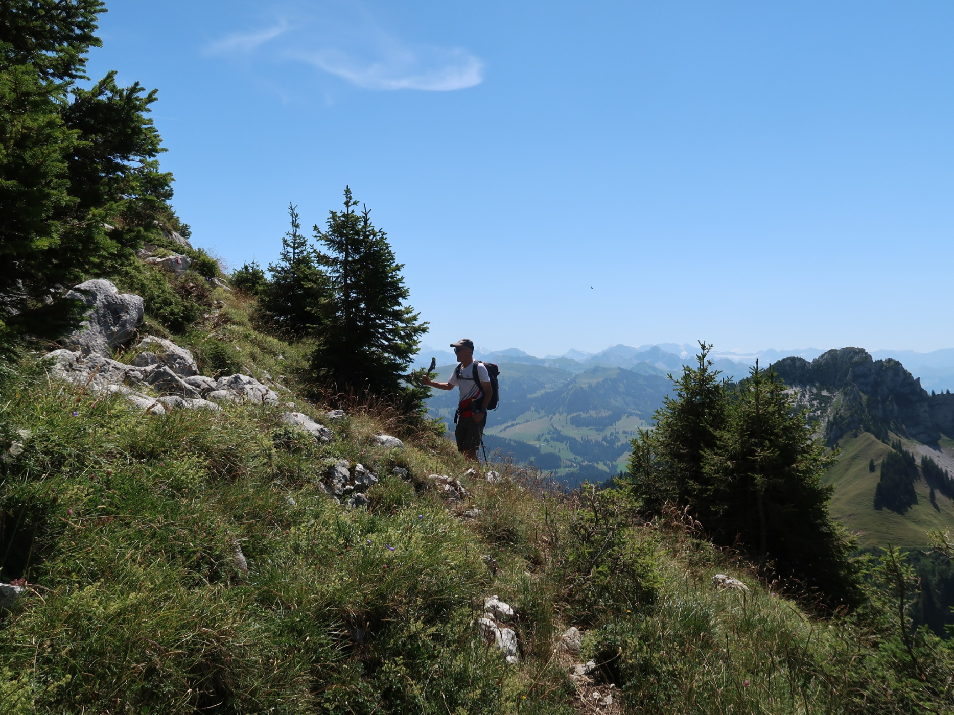
Summit hike Schafharnisch, 2110 m above sea level
Hiking trail
Time required: 4 hours 45 minutesLength: 11.02 km
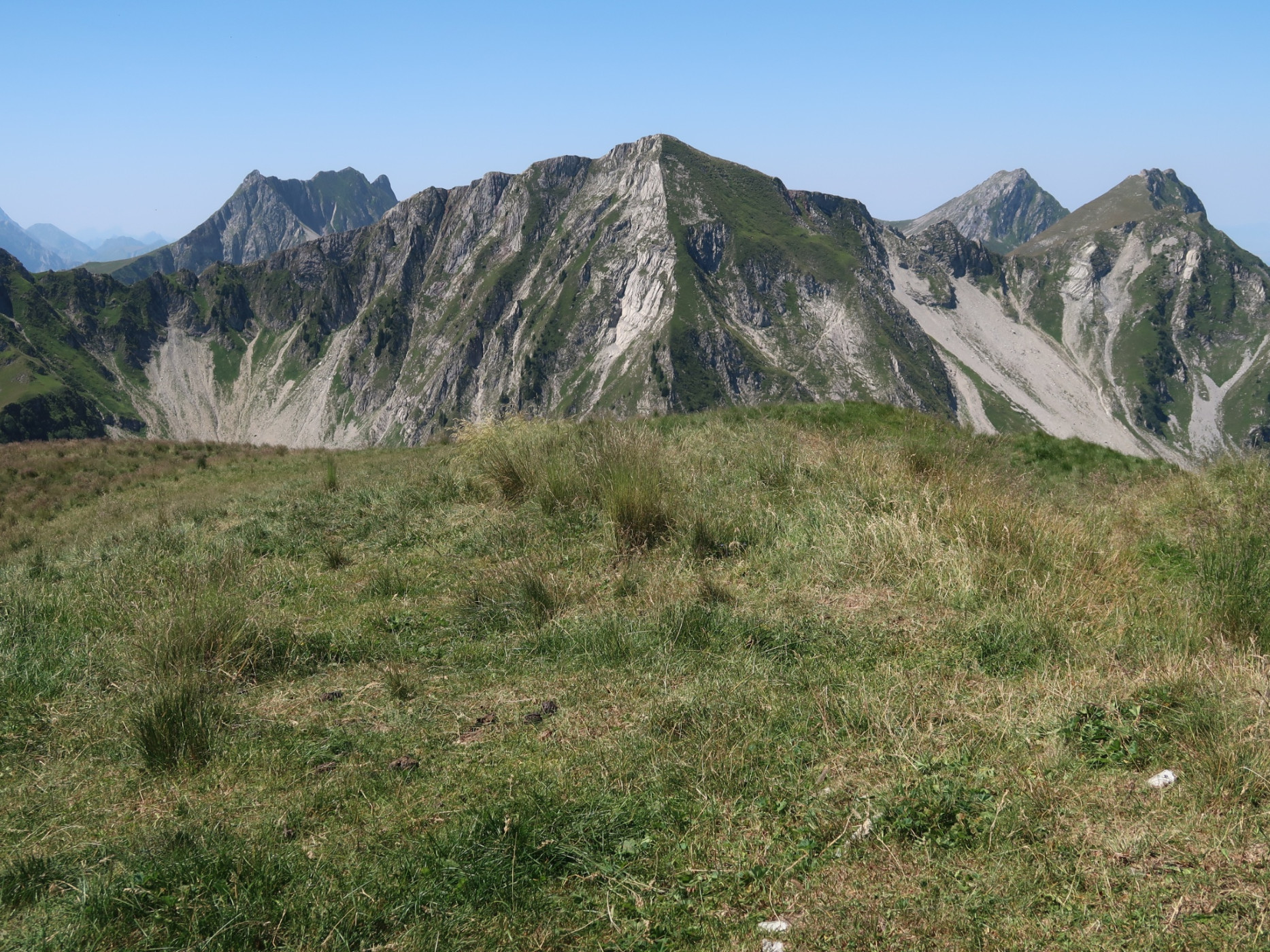
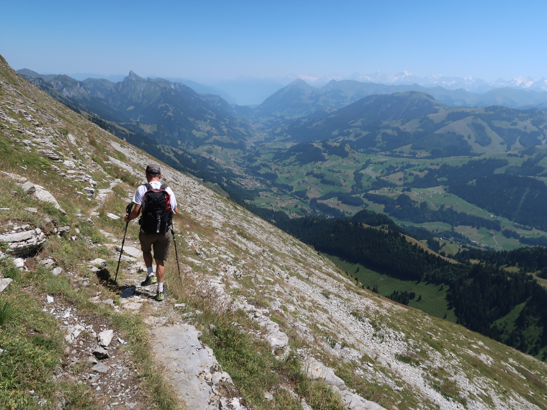
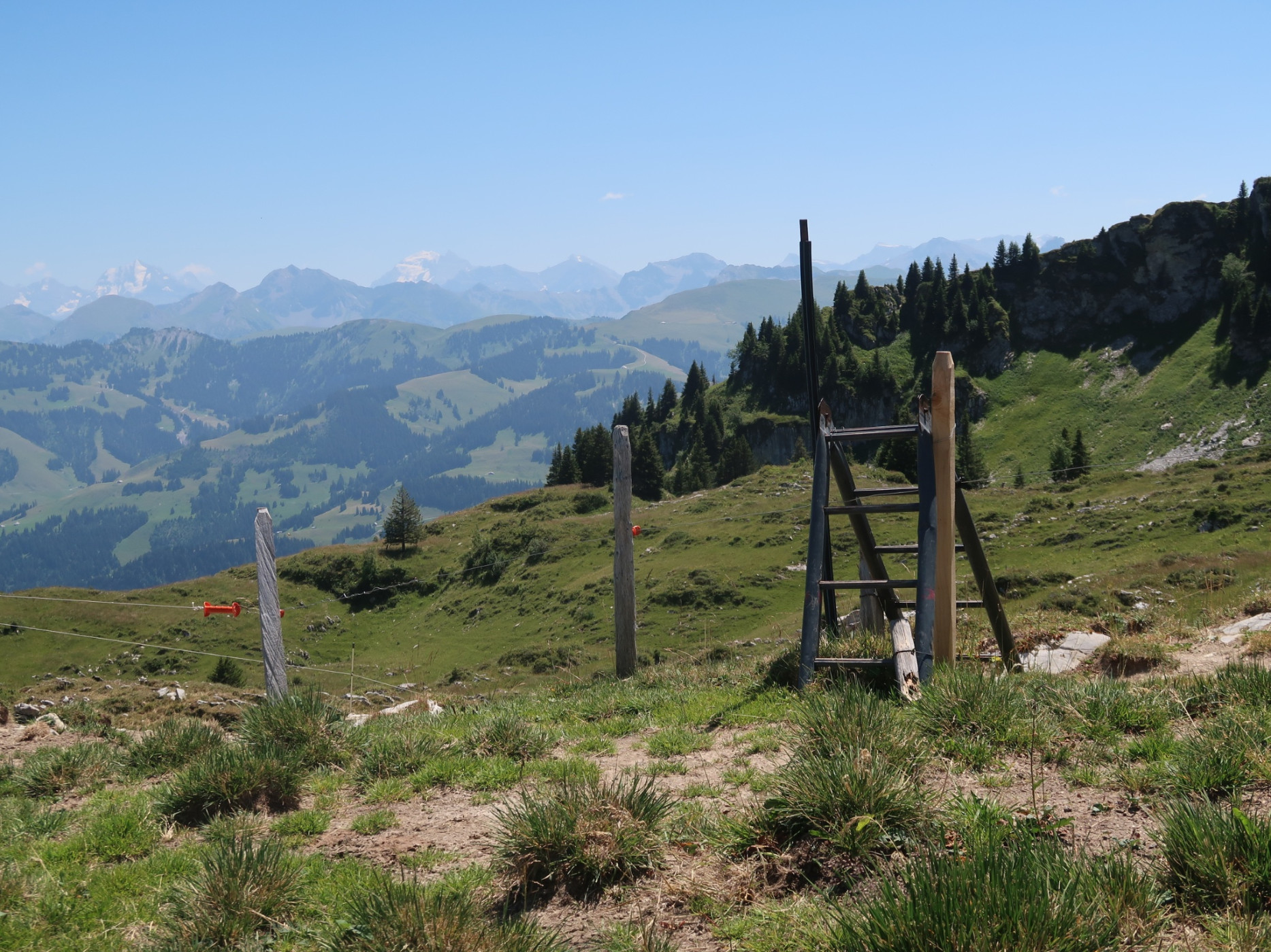
Naturpark Gantrisch - The summit hike opens up beautiful views of the Kaiseregg, the Märem, as well as the Simmental and the Fribourg and Bernese Alps.
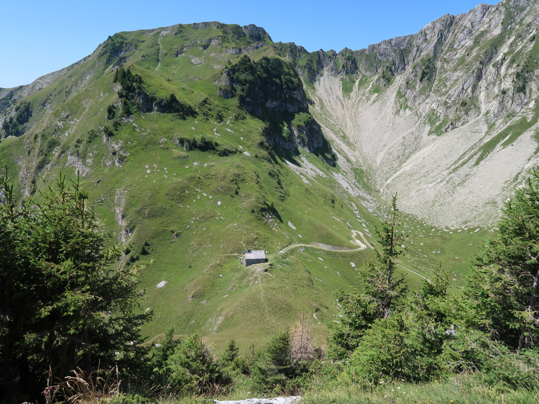
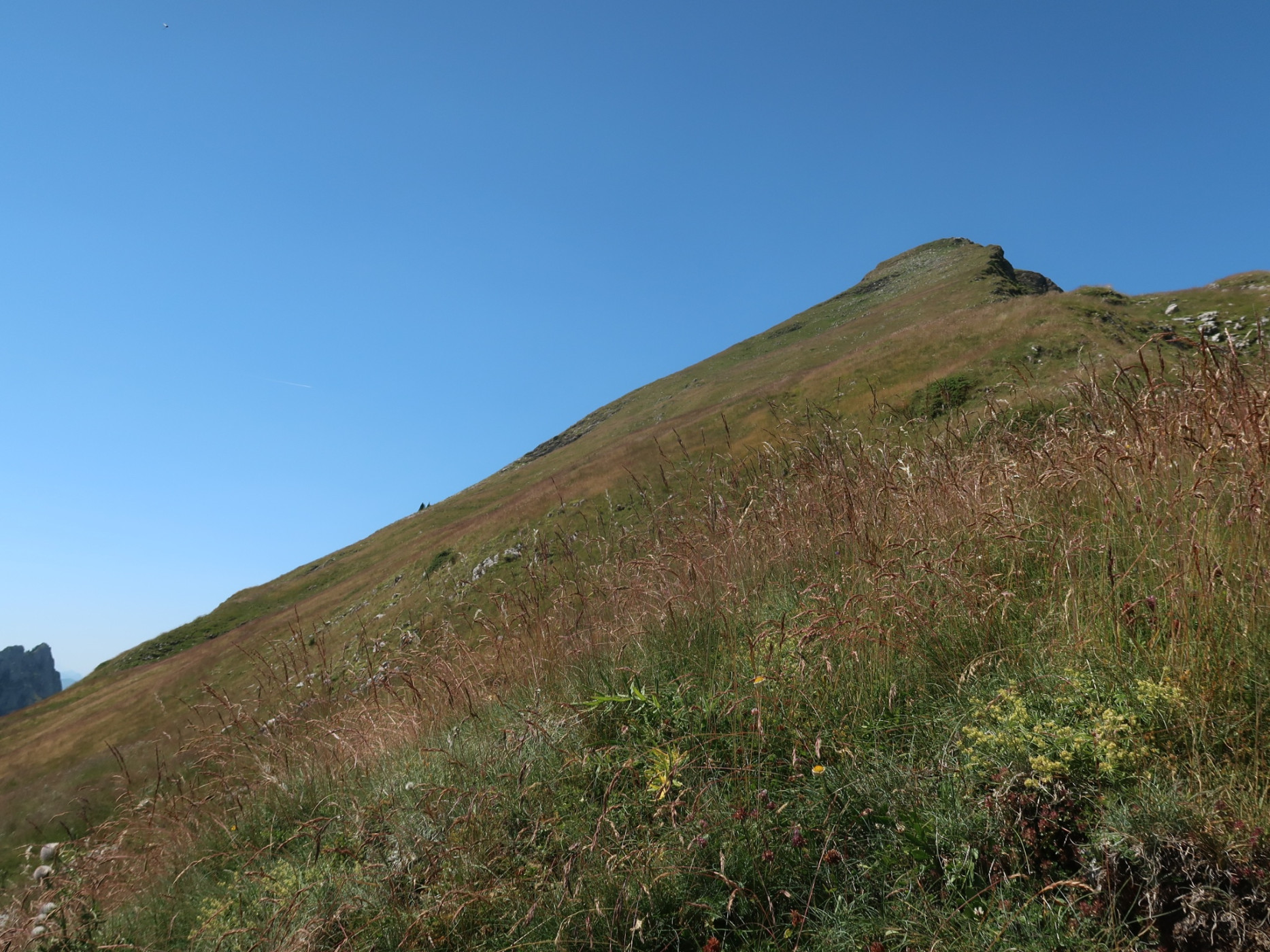
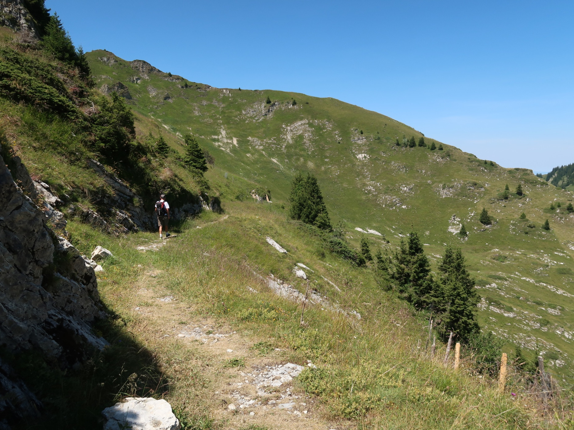
From the parking lot below Spittel Gantrisch, you hike along the alpine road to the Chueharnisch saddle. From there, a narrow mountain path leads over the rock-strewn ridge to the broad summit of the Schafharnisch. A descent is also possible as a circular route via the east ridge and then north to the Chaenel Pass. The zigzag path leads steeply down to Chänelgantrisch and back to the starting point.
Route-information
Route-information
- Length
- 11.02 km
- Altitude difference ascent
- 919 m
- Altitude difference descent
- 919 m
- Time required
- 4 hours 45 minutes
- Level technique
- Middle
- Level condition
- Hard
Height profile view map
Details
Route with Swiss Mobility
Equipment / Equipment rent
Weather-appropriate hiking equipment
Arrival
Arrival
- Starting point
- Parkplatz unterhalb Spittel Gantrisch
- Destination
- Parkplatz unterhalb Spittel Gantrisch
Suitable for
The offer is suitable for
- Adults
- 50+
Season
June, July, August, September, OctoberContact
Naturpark GantrischFörderverein Region Gantrisch
Schlossgasse 13
3150 Schwarzenburg
T +41 (0)31 808 00 20
www.gantrisch.ch