Landschaftspark Binntal
Steinmatten – Twingischlucht – Ze Binne
Closed
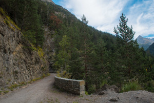
Follow the former road through the Twingi gorge to the Santigläis junction. Here a hiking trail leads down to the equalising basin and then up to the settlement of Ze Binne.
Hiking trail
Time required: 1 hourLength: 2.80km
Naturpark Diemtigtal
Stierenberg circular walk
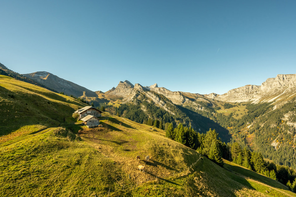
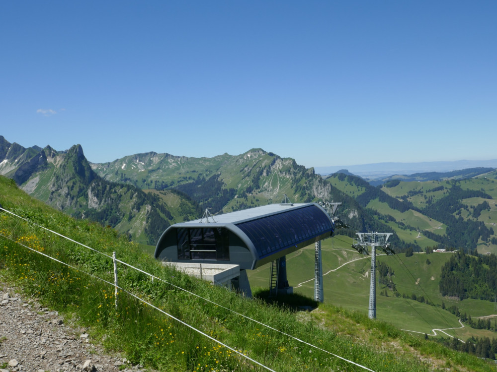
From the top station of the Grimmialp cable cars, an easy, 2-kilometre circular trail leads to the cosy barbecue spot and back again. Along the way, you’ll be treated to panoramic views of the striking peaks of the upper Diemtigtal valley. If you fancy it, you can also discover the new mountain golf course along the route.
Hiking trail
Time required: 40 minutesLength: 2.00km
Jurapark Aargau
Strihen hike from Löwen to Jura
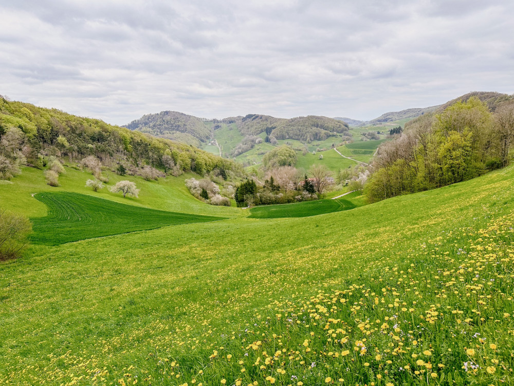
Scenic hike from the Löwen restaurant in Herznach via the Strihen to the Jura restaurant in Asp
Hiking trail
Time required: 3 hours 20 minutesLength: 10.69km
Naturpark Diemtigtal
Stroller path Grimmialp-Anger
Along the valley hiking trail and the Fildrich, you walk downhill with your family. Do you know our water playground? A stop here is almost a must for the little explorers.
Hiking trail
Time required: 1 hour 15 minutesLength: 4.55km
Naturpark Gantrisch
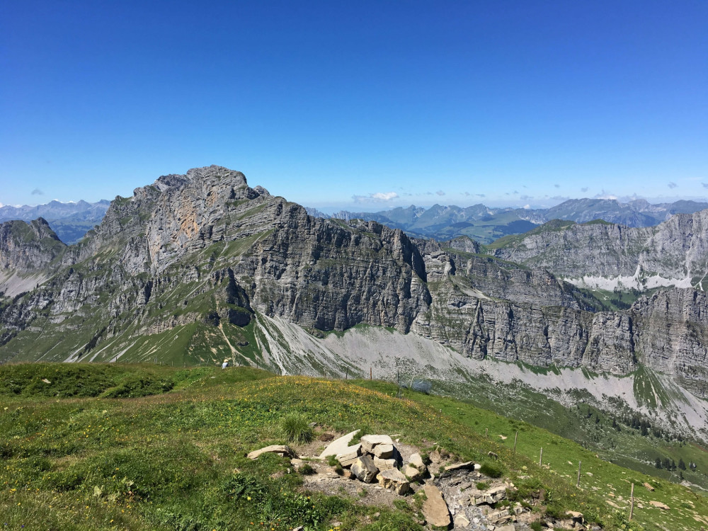
Summit hike Kaiseregg, 2185 m above sea level
High up with a beautiful view of Schwarzsee, the Jura heights, and the Breccaschlund. The summit hike to the Kaiseregg offers plenty of views. Whether by cable car or directly from Schwarzsee – the route can be adjusted as needed.
Hiking trail
Time required: 4 hours 20 minutesLength: 11.74km
Naturpark Diemtigtal
Summit hike Mäggisserhore
From Springenboden to Mäggisserhore: Discover a true hiking gem in the Niesen chain
Hiking trail
Time required: 5 hoursLength: 13.69km
Naturpark Gantrisch
Summit hike Ochsen, 2188 m above sea level
The hike to the highest mountain of the Gantrisch Nature Park offers beautiful views from the Central Plateau to the Oberland and the Fribourg Alps.
Hiking trail
Time required: 3 hours 25 minutesLength: 7.93km
Naturpark Gantrisch
Summit hike Schafharnisch, 2110 m above sea level
The summit hike opens up beautiful views of the Kaiseregg, the Märem, as well as the Simmental and the Fribourg and Bernese Alps.
Hiking trail
Time required: 4 hours 45 minutesLength: 11.02km
Naturpark Diemtigtal
Summit hike to the Rauflihorn
The worthwhile ascent of the Rauflihorn impresses with a diverse mountain panorama and unexpected views and vistas.
Hiking trail
Time required: 6 hoursLength: 14.29km
Naturpark Pfyn-Finges
Sunshine Trail
Discover unspoilt centuries-old village centres on the sunny mountain:
Leukerbad - Albinen - Sämsu - Brentschen - Engersch - JeizinenDistance 17 km
Time required 5 h 15
Altitude difference: Ascent 760 m
Altitude difference: Descent 630 m
Hiking trail
Length: 17.00km
Naturpark Beverin
Surettatal - circular hike
A constant companion on this 4.5 hour hike is an impressive nature landscape, The moderately severe hike leads from Sufers around the Sufner Lake and via the Suretta Alp back again to Sufers.
Hiking trail
Time required: 4 hoursLength: 12.30km
Naturpark Pfyn-Finges
Susten - Leukerfeld - Agarn
Experience Leukerfeld! Leukerfeld contains a unique ecological variety within its ponds and dry grasslands.
Theme trailHiking trail
Length: 9.84km
Naturpark Pfyn-Finges
Susten, Illgraben
The fascination of the Illgraben, the spicy fragrance of the forest, birdsong and the spectacular Bhutan Bridge
Theme trailHiking trail
Time required: 1 hour 30 minutesLength: 4.89km
Regionaler Naturpark Schaffhausen
Taste Trail Wilchingen-Osterfingen
Follow the tracks of the "Clever Dog" and let him take you into the world of pleasure of the vineyards between Wilchingen and Osterfingen.
Theme trailHiking trail
Time required: 2 hoursLength: 5.30km
Naturpark Beverin
Tenner Chrüz - circular hike
The hike from Tenner Chrüz is a leisurely walk, but it still rewards one with an imposing view of the deep Ruinaulta gorge over to Flims and to the Ringelspitz (3247 m).
Hiking trail
Time required: 3 hoursLength: 6.00km
Jurapark Aargau
Thalheim round – Schenkenberg ruin and vineyards
On this circular hike, you will encounter the Schenkenberg ruin – the former seat of the Habsburgs – as well as the typical Schenkenberg vineyards.
Hiking trail
Time required: 3 hours 40 minutesLength: 12.76km
Parc naturel régional Gruyère Pays-d'Enhaut
The cheese trails
This dual route – the Via Le Gruyère AOP and the Via L’Etivaz AOP – closely follows the ancient communication routes, which were notably used for cheese transport over the Col de Jaman in the 17th and 18th centuries.
Theme trailHiking trail
Time required: 33 hours 50 minutesLength: 108.00km
Jurapark Aargau
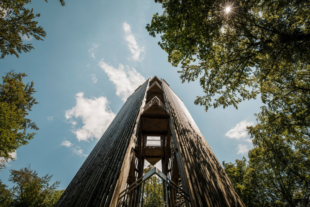
The Cheisacher tower
If you would like to get to know the Cheisacher, then we recommend doing it on foot, because that is the best way to enjoy the landscape.
Hiking trail
Time required: 2 hours 17 minutesLength: 8.86km
Hint

Naturpark Pfyn-Finges
The classic wine-path
Experience the wine area and get to know the world of wine. Along the 6km wine trail you will discover wine villages, the wine regions and the wine technology.
Theme trailHiking trail
Time required: 2 hours 15 minutesLength: 6.30km
Parc régional Chasseral
The farm tour
In the middle of forests and pastures, the walk on the heights of the Prés-d'Orvin allows you to take breaks to taste farm products in about ten establishments.
Hiking trail
Time required: 4 hoursLength: 14.00km
Naturpark Diemtigtal
The Three Parks Hike, Stage 2
The Three Parks Hike, Stage 2 from Grimmialp to Oey
Hiking trail
Time required: 4 hoursLength: 14.00km
Naturpark Gantrisch
The Three Parks Hike, Stage 3
The Three Parks Hike, Stage 3, Oey-Gurnigel
Hiking trail
Time required: 4 hours 30 minutesLength: 13.00km
Naturpark Gantrisch
The Three Parks Hike, Stage 4
The Three Parks Hike, Stage 4, Gurnigel-Schwarzsee
Hiking trail
Time required: 6 hours 30 minutesLength: 22.00km
Parc naturel régional Gruyère Pays-d'Enhaut
The Three Parks Hike, Stage 5
The Three Parks Hike, Stage 5, Schwarzsee-Jaun
Hiking trail
Time required: 4 hoursLength: 12.00km
Parc naturel régional Gruyère Pays-d'Enhaut
The Three Parks Hike, Stage 6
The Three Parks Hike, Stage 6, Jaun-Gruyères
Hiking trail
Time required: 6 hoursLength: 22.00km
Naturpark Diemtigtal
The Three Parks Hike: Stage 1
The Three Parks Hike, Stage 1 from Zweisimmen to Grimmialp
Hiking trail
Time required: 6 hoursLength: 16.00km
Naturpark Diemtigtal
Three Parks Tour - Tales of the Alps, Cheese & Cow Dung
Three Parks Tour, six stages, Zweisimmen-Gruyères
Hiking trail
Time required: 31 hoursLength: 99.00km
Naturpark Thal
Tiefe Schlucht, sonnige Höhen
Durch die wildromantische Wolfsschlucht hoch auf den Vorder Brandberg und wieder Richtung Talboden hinunter nach Herbetswil. Auf dieser Abwechslungsreichen Wanderung lernen Sie die verschiedenen Seiten des Naturparks kennen.
Hiking trail
Time required: 2 hours 45 minutesLength: 6.31km
Naturpark Pfyn-Finges
Tour around the ponds
Open pine forests, picturesque pools and rare flowersDistance 1.5 km
Time required 0 h 30
Height difference: ascent 50 m
Height difference descent 50 m
Hiking trail
Time required: 1 hour 30 minutesLength: 1.50km
Parc naturel régional Jura vaudois
Tour du Lac de Joux
Entdecken Sie auf einer Rundwanderung um den See die grösste Wasserfläche des Juramassivs.
Hiking trail
Time required: 10 hoursLength: 22.00km