


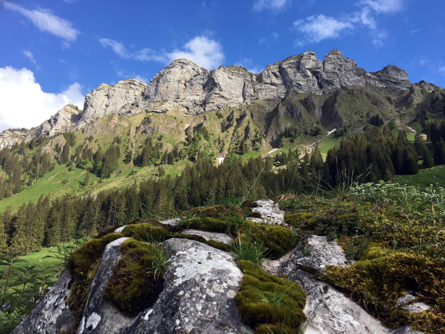
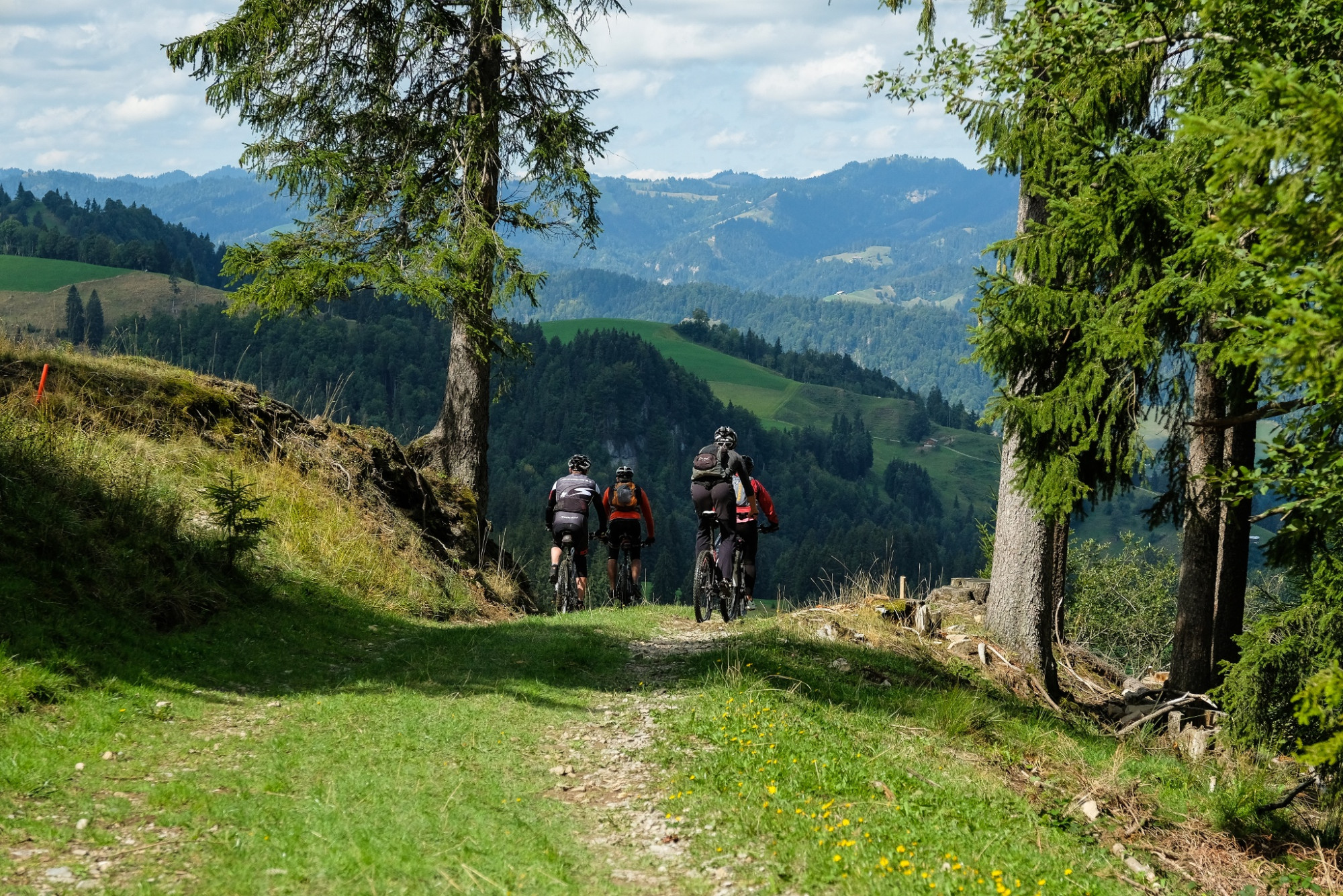
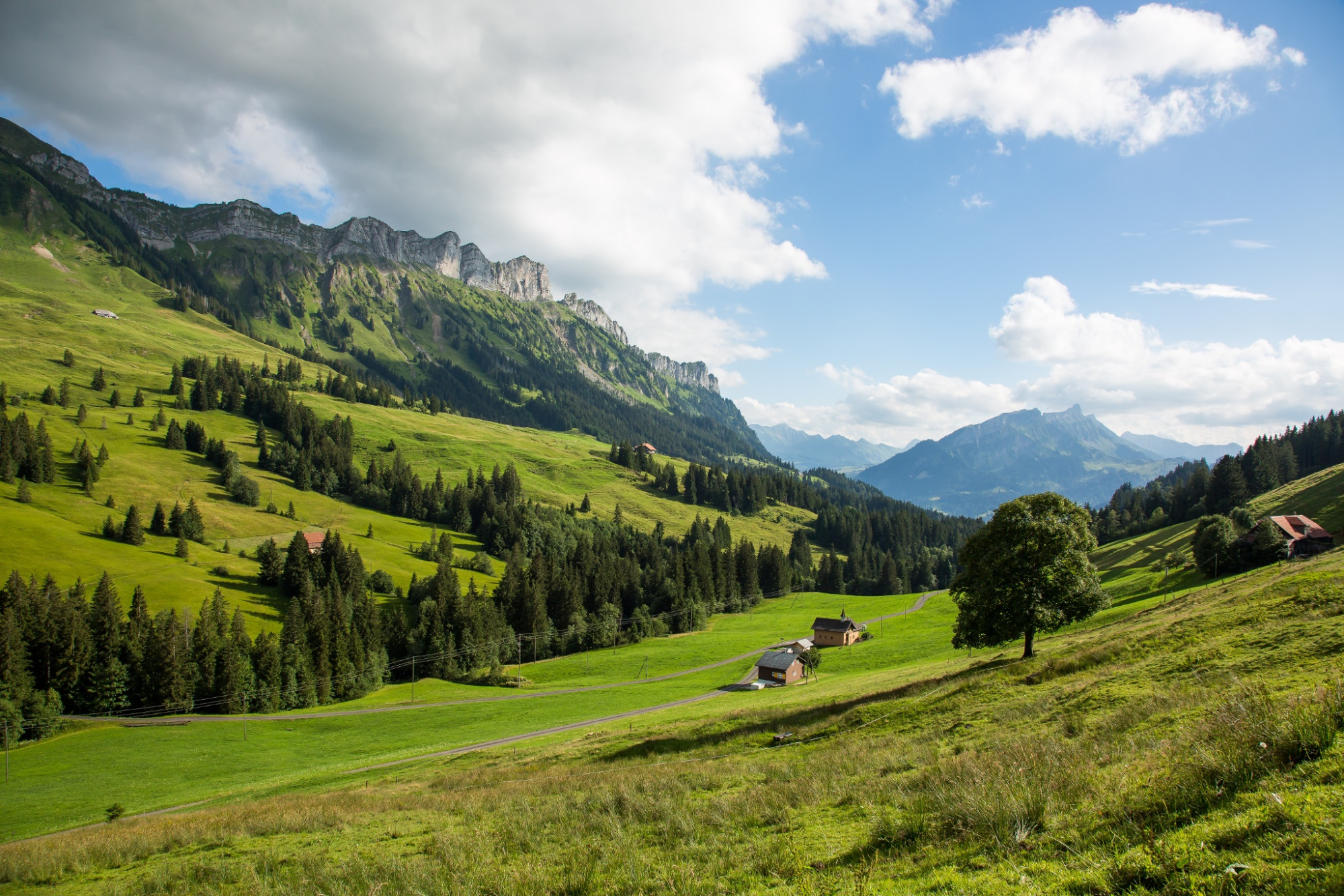
Farneren route
UNESCO Biosphäre Entlebuch - Scenic route around the Schüpfer local mountain.
The Farneren route starts at Schüpfheim train station and follows the signs of bike route 815 throughout. At the Feldgasst junction, it leads along Frutteggstrasse up to Finishütte. At the chapel, you can enjoy a wonderful view of Schafmatt and Äbnistettenflue. Via Äbnistetten the route continues uphill over Fankhus to the alpine farm Neuhütte. A short descent over Rossweid and then uphill again to Schwarzebergchrüz follows. Via Büelweid you ride downhill to Hasle and then along the Emme back to Schüpfheim.
Connection to the Schimbrig-First route is possible via Äbnistetten.
Important info / Closure of hiking and bike path: The Balmoos in Hasle is a raised bog of national importance and habitat of rare animal and plant species. Peat extraction and drainage have dried out the bog, so it is now endangered in its important functions as a habitat and CO2 reservoir. Now water retention is being improved with structural measures. During construction work until the end of October 2025, the hiking path is closed on weekdays during working hours. More information via ProNatura Lucerne.
Route-information
Route-information
- Length
- 27.96 km
- Altitude difference ascent
- 995 m
- Altitude difference descent
- 995 m
- Time required
- 2 hours 30 minutes
- Level technique
- Easy
- Level condition
- Middle
Details
UNESCO Biosphere Entlebuch
Biosphere Center
Chlosterbüel 28
CH-6170 Schüpfheim
Tel. +41 41 485 88 50
www.biosphaere.ch
Equipment / Equipment rent
Good equipment including rain and warm protection, repair and first aid kit are always part of an MTB route. Wearing a helmet is of course mandatory and a light is required for dusk.
Safety advices
Wear the right protective gear, accurately assess your skills, give way to hikers, stay on the trail and close gates! Refer to the Central Switzerland bike code - so you'll be welcome on your mountain bike!
Signalization
Schüpfheim - Bleikiwald - Finishütte - Fankhus - Neuhütte - Schwarzebergchrüz - Gruebehag - Farnacher - Hasle - Änetämme - Siggehuse - Schüpfheim
The route is marked with route signs No. 815 - Farneren route.
Arrival
Arrival
- Starting point
- Schüpfheim, Bahnhof
- Arrival by public transport
- Schüpfheim, Bahnhof Timetable SBB
- Destination
- Schüpfheim, Bahnhof
Suitable for
The offer is suitable for
- Adults
- 50+
Season
Mai, June, July, August, September, OctoberContact
UNESCO Biosphäre EntlebuchBiosphärenzentrum UNESCO Biosphäre Entlebuch
Chlosterbüel 28
6170 Schüpfheim
Tel. +41 41 485 42 50
www.biosphaere.ch