


Moor Landscape Path Stage 1: Habkern / Sörenberg
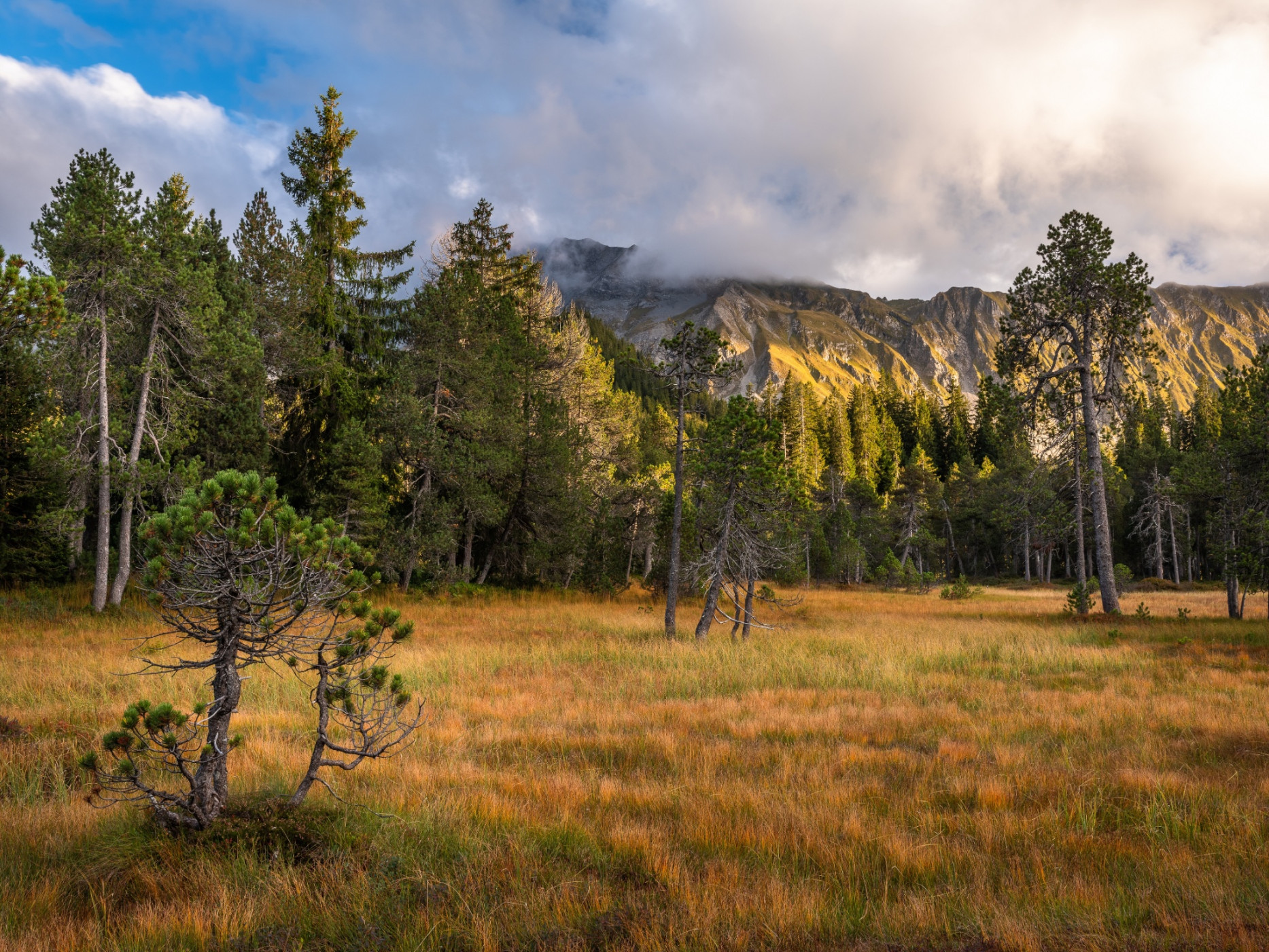
UNESCO Biosphäre Entlebuch - The first stage of the Moor Landscape Path surprises with sharp contrasts between the angular Schrattenfels and the soft moor soil.
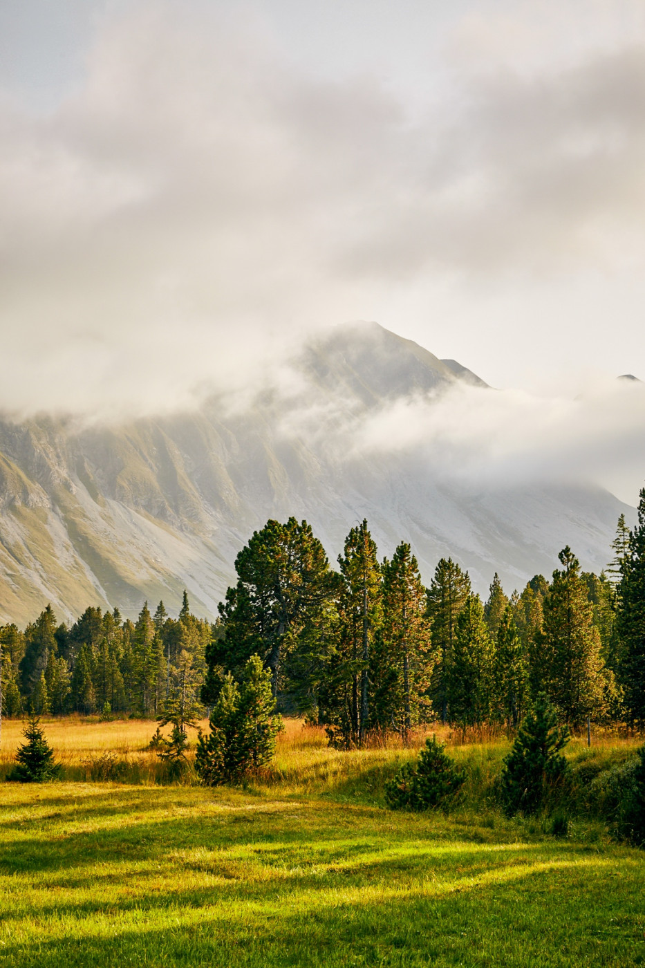
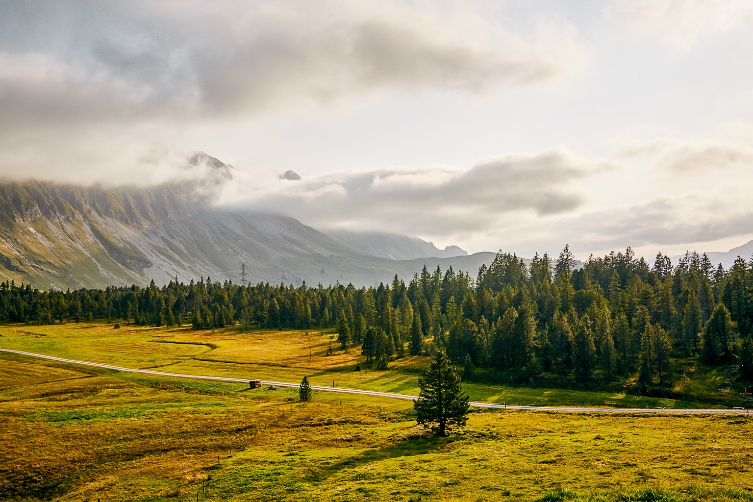
The moor landscape is shaped by the extreme contrast between the gentle, rounded surface shapes of the moors and the rugged relief of the Schrattenfluh. During the first stage, you immediately get to know the two core zones of the UNESCO Biosphere Entlebuch. Besides the largest and most numerous moor landscapes in Switzerland, the biosphere reserve has gained international importance with the karst area of the Schrattenfluh. Large parts of the area are very wild and of almost untouched beauty. On the "Chnubeln" and "Eggen" in moor-typical locations lie original Alpine huts with deeply hanging shingle roofs.
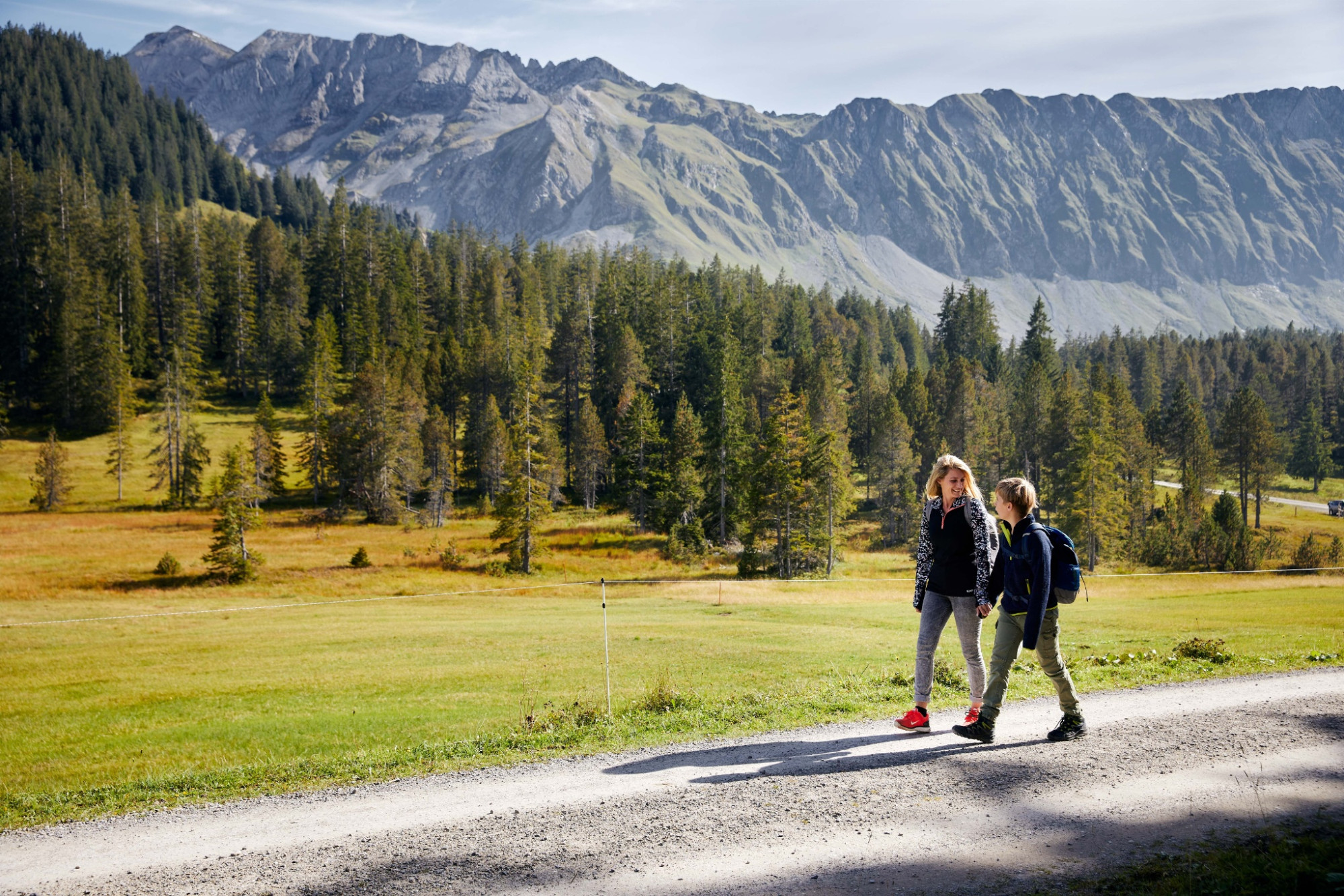
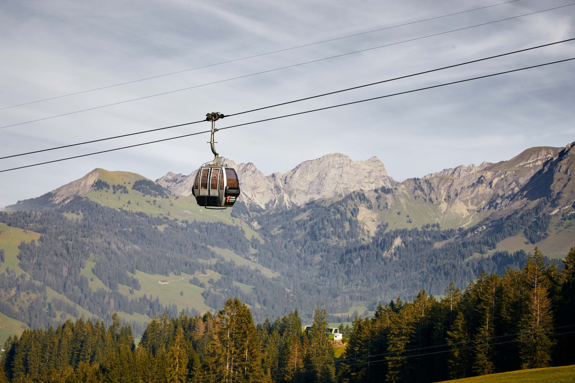
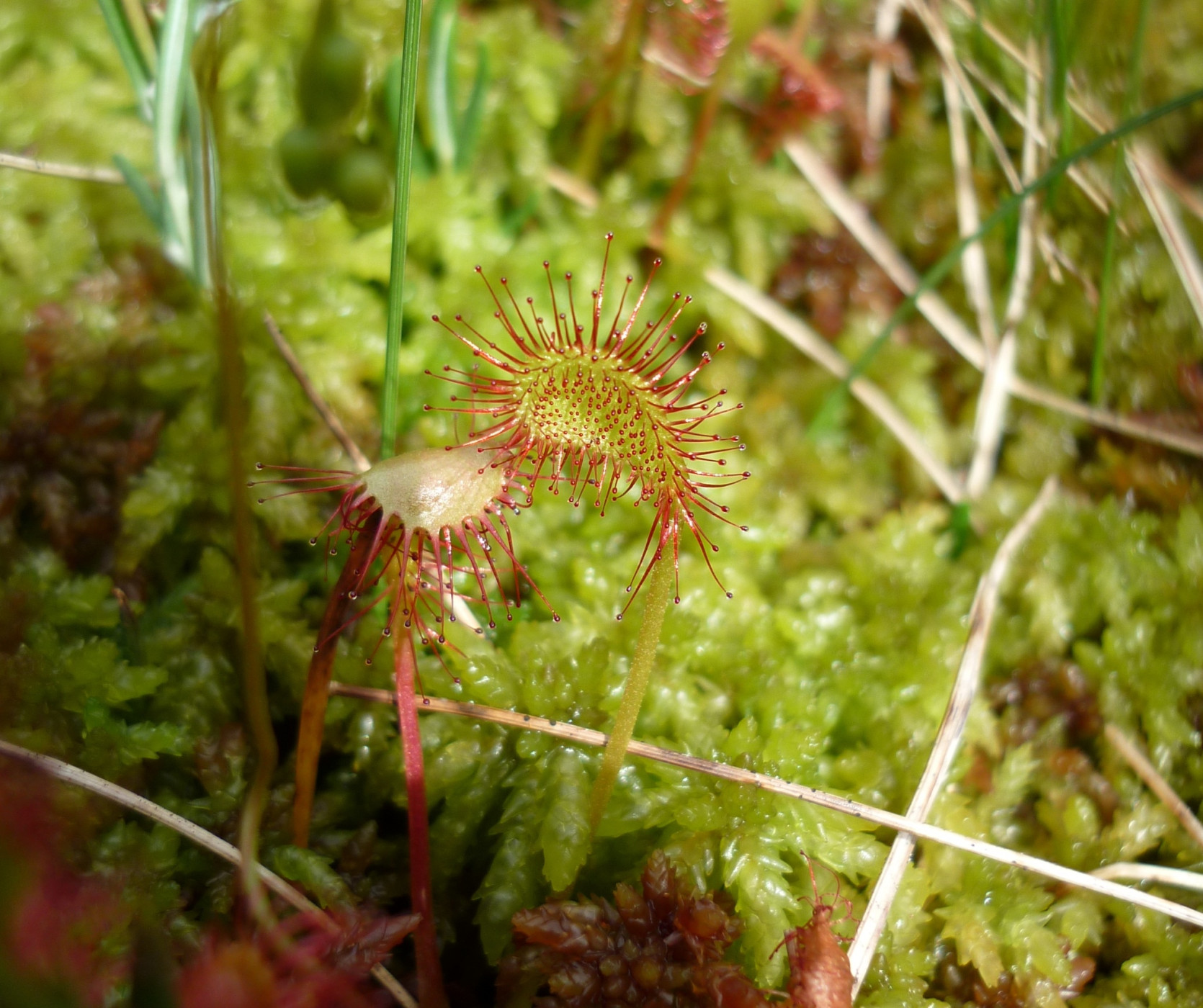
The hiking route starts in Sörenberg. You can also shorten the first altitude meters with the Rossweid cable car and start marching from the mountain station. Pleasant (well distributed inclines) walking takes you on traffic-free gravel roads through the alpine and Nordic ski area of Sörenberg. The variety of moor types is impressive. Colorful orchids, dreamy ferns and blueberry bushes as well as white hair tufts of the cotton grasses are constant companions on this route. And in view of the gnarled mountain pines, you feel like being transported into another world. At Küblisbühl, you cross the border into the Emmental. Now it is not far to the first stage destination, Kemmeriboden-Bad.
Moor Landscape Path UNESCO Biosphere Entlebuch
Discover here all stages of the five-day adventure through the Entlebuch moor landscapes.
Package offer
While you hike along the signed Moor Landscape Path, enjoy the fascinating natural landscapes and enjoy the provided lunch at the most beautiful spots, your luggage travels to the next overnight location. Here you also enjoy a wide variety – from overnight stay in a tipi on the alp to a 3-star hotel with a regional 4-course menu – and fall into a deep, relaxing sleep. Here is the package offer.
Route-information
Route-information
- Length
- 16.76 km
- Altitude difference ascent
- 640 m
- Altitude difference descent
- 816 m
- Time required
- 5 hours 30 minutes
- Level technique
- Easy
- Level condition
- Middle
Details
UNESCO Biosphere Entlebuch
Chlosterbül 28
CH-6170 Schüpfheim
Telephone +41 (0)41 485 42 50
www.biosphaere.ch
Would you like to explore the moor with an expert? The UNESCO Biosphere Entlebuch gladly organizes guided hikes and excursions. For information contact the Biosphere Centre: zentrum@biosphaere.ch or Tel. +41 (0)41 485 42 50.
Price information
Bookable as a package deal: While you hike along the signposted moorland trail, enjoy the fascinating natural landscapes and enjoy the lunch provided at the most beautiful spots, your luggage travels to the next overnight accommodation. Here, too, you can enjoy a variety of options - from an overnight stay in a tipi on an alpine pasture to a 3-star hotel with a regional 4-course menu - and fall into a deep, restful sleep.Equipment / Equipment rent
Good footwear and all-weather equipment are essential. Recommended are binoculars, plant and animal identification books, and possibly a terry towel to dry your feet after walking barefoot.
Safety advices
Mobile phone reception is partially difficult to impossible.
Signalization
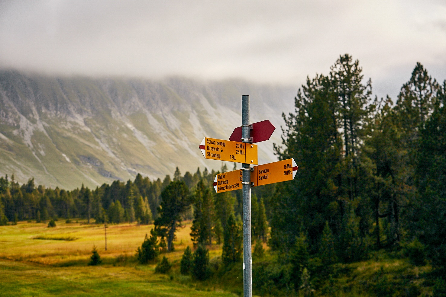
- Sörenberg, Post - Rossweid Junction - Salwide - Blatte - Lower Laubersmad - Arnibergegg - Spierweid - Hinderes Hüblic - Kemmeribodenbad
- The route is marked with the "Moor Landscape Path" signet and can also be walked in the opposite direction.
- The stages "Hilferepass" or "Glaubenberg" can be connected to this section.
Variant
Sörenberg-Rossweid cable car: time savings 30 minutes
Information about the cable car can be found at: Bergbahnen Sörenberg
Arrival
Arrival
- Starting point
- Sörenberg, Postautohaltestelle Sörenberg, Post
- Arrival by public transport
- Sörenberg, Post Timetable SBB
- Destination
- Kemmeribodenbad, Postautohaltestelle Kemmeriboden
Suitable for
The offer is suitable for
- Adults
- 50+
Season
Mai, June, July, August, September, OctoberContact
UNESCO Biosphäre EntlebuchBiosphärenzentrum UNESCO Biosphäre Entlebuch
Chlosterbüel 28
6170 Schüpfheim
T +41 41 485 42 50
www.biosphaere.ch