


Moorland Trail Stage 4: Moorland Glaubenberg
UNESCO Biosphäre Entlebuch - Day hike in a wild landscape with gorges and landslide areas over the Wasserfallenegg.
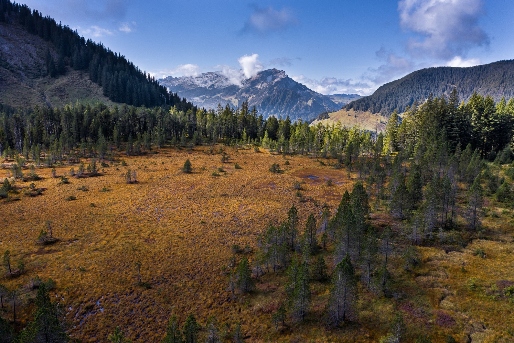
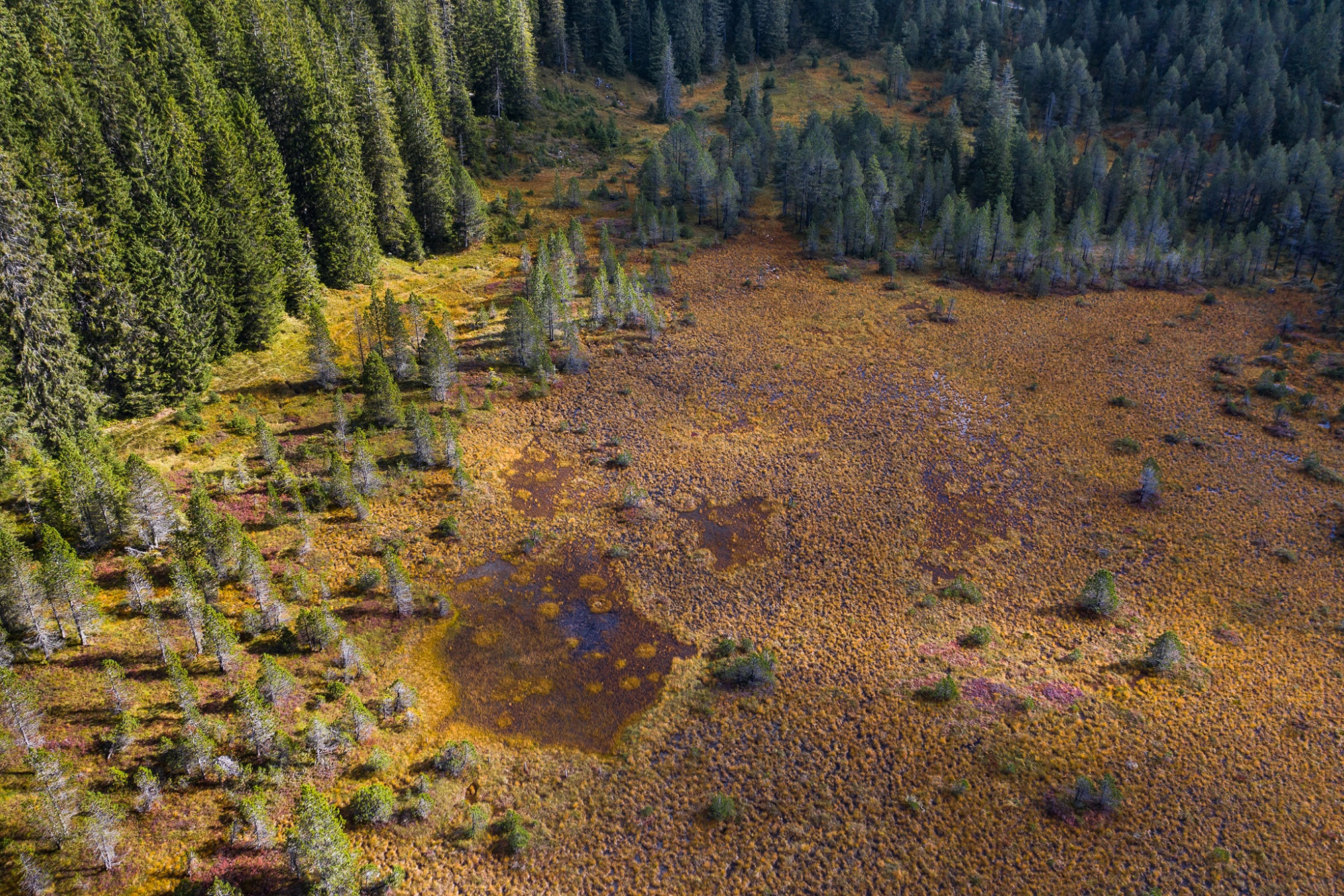
The largest moorland in Switzerland extends partially into the adjacent Obwalden area. It covers 130 km2 and also includes the second largest total area of raised and lowland moors. Outstanding is the importance of the raised bogs, which are the best developed in the whole of Switzerland. Water biotopes such as ponds, small lakes, tussock grass, springs, streams and waterfalls are preserved in great variety along this stage.
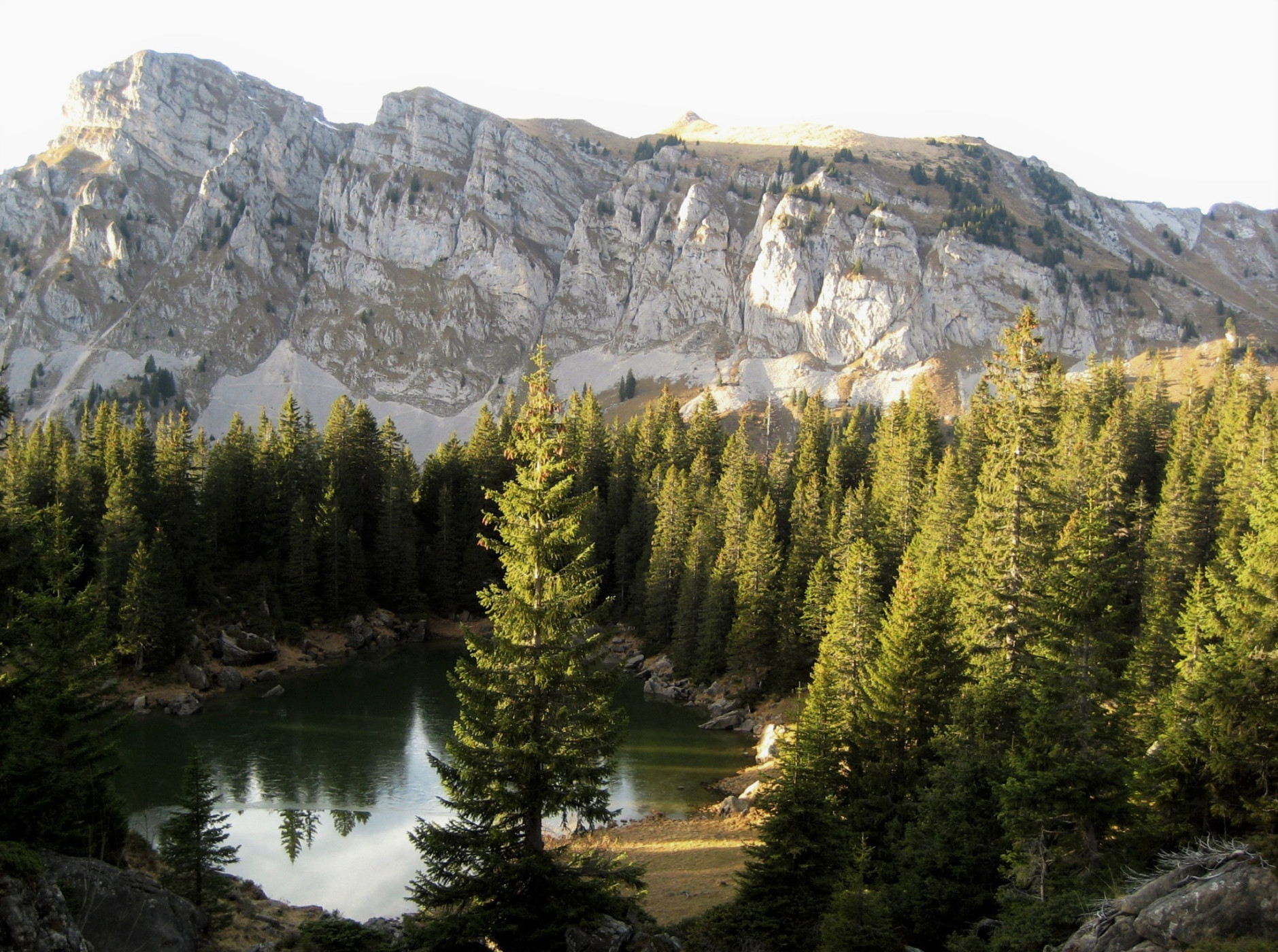
In the moorland especially notable is the extensive lowland moor Gürmschmoos with the large building for storing litter. The legendary Wasserfallenegg with the Drack. The Dragon is buried in the pine forest north of the signpost (P.1729) within the stone wall. The Änggelauenenseeli – the only natural lake in Entlebuch – lies in the landslide area at the foot of the Fürstein.
In the Glaubenberg/Wasserfallen area there are several Swiss Army shooting ranges. Detailed information and shooting dates can be found under "Safety instructions."
Moorland Trail UNESCO Entlebuch Biosphere
Discover here all stages of the five-day adventure through the Entlebuch moorlands.
Package offer
While you hike on the signposted Moorland Trail, enjoy the fascinating natural landscapes and savor the packed lunch at the nicest little spots, your luggage travels to the next overnight location. Here too, you enjoy a great variety – from overnight stays in a tipi on the alp to a 3*-hotel with a regional 4-course menu – and fall into a deep, restful sleep. Here is the package offer
Route-information
Route-information
- Length
- 13.93 km
- Altitude difference ascent
- 854 m
- Altitude difference descent
- 503 m
- Time required
- 4 hours 50 minutes
- Level technique
- Middle
- Level condition
- Hard
Details
UNESCO Entlebuch Biosphere
Chlosterbüel 28
CH-6170 Schüpfheim
Tel. +41 (0)41 485 42 50
zentrum@biosphaere.ch
www.biosphaere.ch
Price information
Bookable as a package deal: While you hike along the signposted moorland trail, enjoy the fascinating natural landscapes and enjoy the lunch provided at the most beautiful spots, your luggage travels to the next overnight accommodation. Here, too, you can enjoy a variety of options - from an overnight stay in a tipi on an alpine pasture to a 3-star hotel with a regional 4-course menu - and fall into a deep, restful sleep.Equipment / Equipment rent
Good footwear and all-weather equipment are indispensable. Recommended are binoculars, plant and animal identification books, and possibly a terry cloth towel to dry your feet after barefoot walking.
Safety advices
Mobile phone reception is partially difficult to impossible.
Important info
In the Glaubenberg/Wasserfallen area there are several Swiss Army shooting ranges. Detailed information and shooting dates can be found here. Entering the danger zone is life-threatening and therefore forbidden. Instructions from the cordon posts must be followed.
Signalization
- Gfelle - Brüedere - Unter Gründli - Chlusmättli - Wasserfallenegg - Schönebüel - Stäldili
- The route is marked with the signet «Moorland Trail» and can also be walked in the opposite direction.
- The stages «Glaubenberg Stage 2» or «Small Entle» can be linked to this route.
Variants
Descent to Flühli: 1h30, 490 m ascent
Ascent from Flühli: 2h05, 490 m ascent
Arrival
Arrival
- Starting point
- Finsterwald (Entlebuch), Postautohaltestelle Finsterwald, Gfellen
- Destination
- Flühli, Alprestaurant Stäldeli
Suitable for
The offer is suitable for
- Adults
- 50+
Season
Mai, June, July, August, September, OctoberContact
UNESCO Biosphäre EntlebuchBiosphärenzentrum UNESCO Biosphäre Entlebuch
Chlosterbüel 28
6170 Schüpfheim
T +41 41 485 42 50
www.biosphaere.ch