

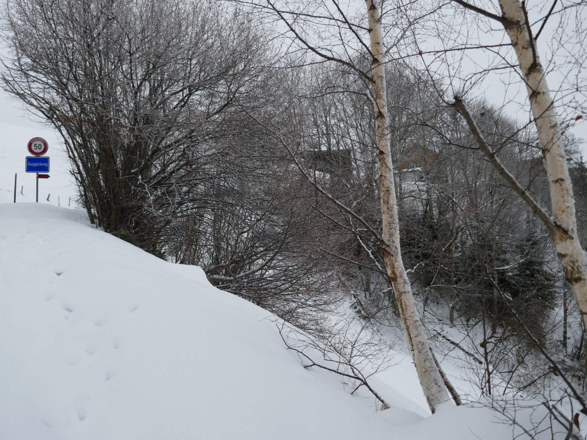
Winter hike Guggisberg
Naturpark Gantrisch - This circular hike leads from Riffenmatt, Kreuzung around the Schwendelberg and through the legendary village of Guggisberg.
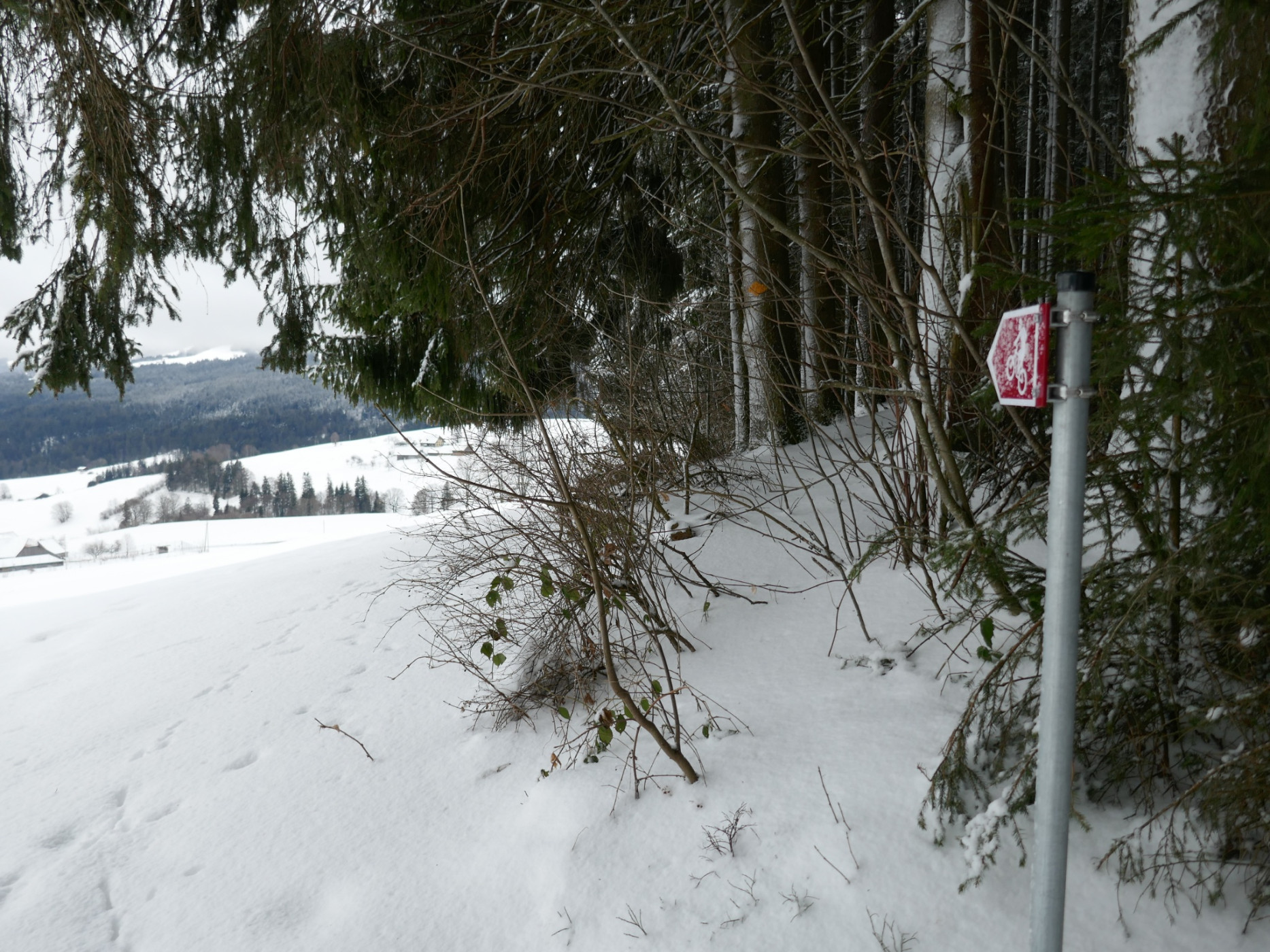
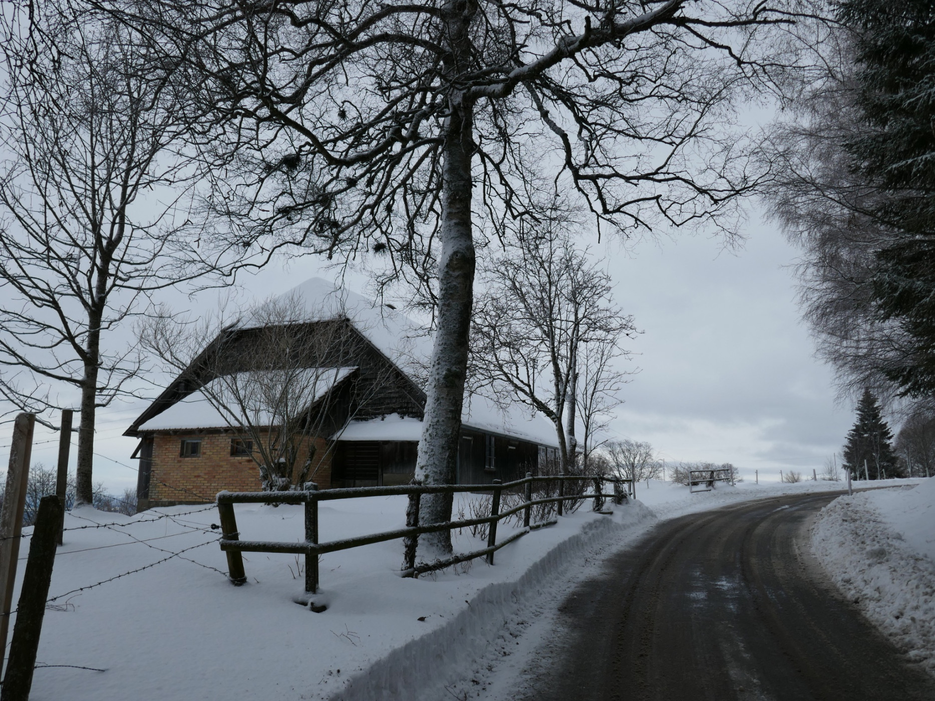
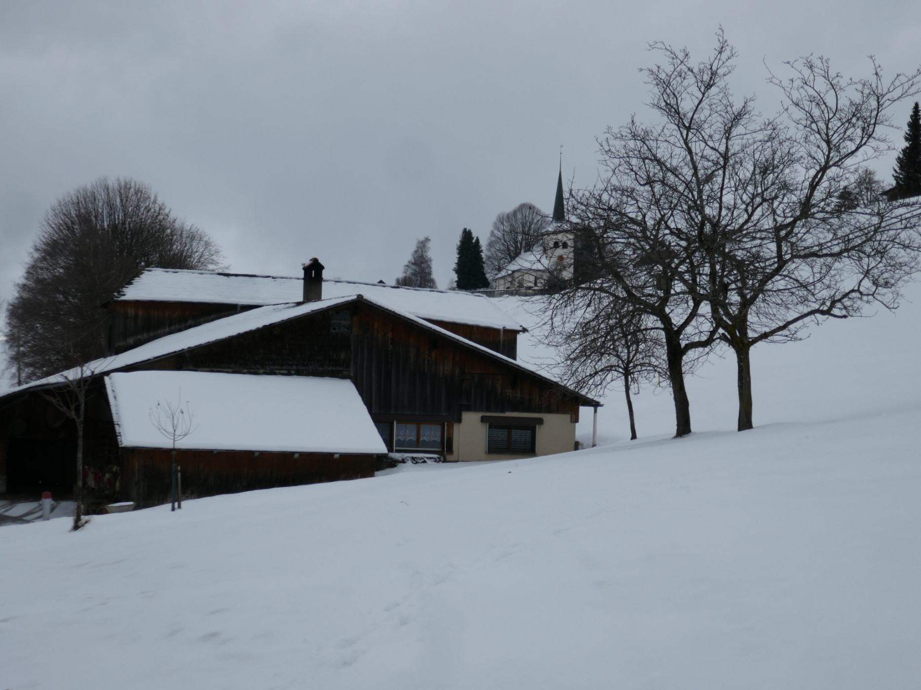
The winter hiking trail starting at Riffenmatt is not typical, as it mostly follows roads cleared only by plowing. Besides slip-resistant hiking boots, no further equipment is required. From Riffenmatt, the path follows the road to the hamlet of Saalen with its beautiful farmhouses.
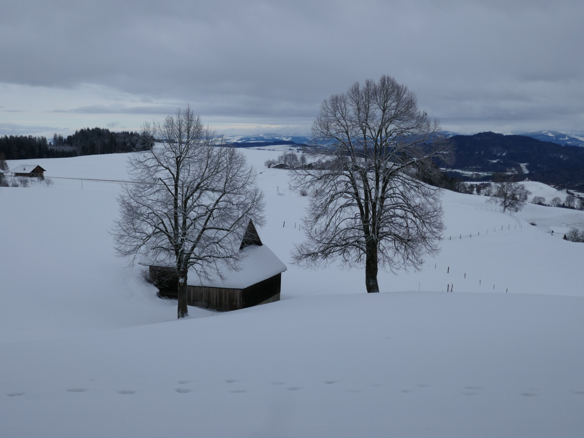
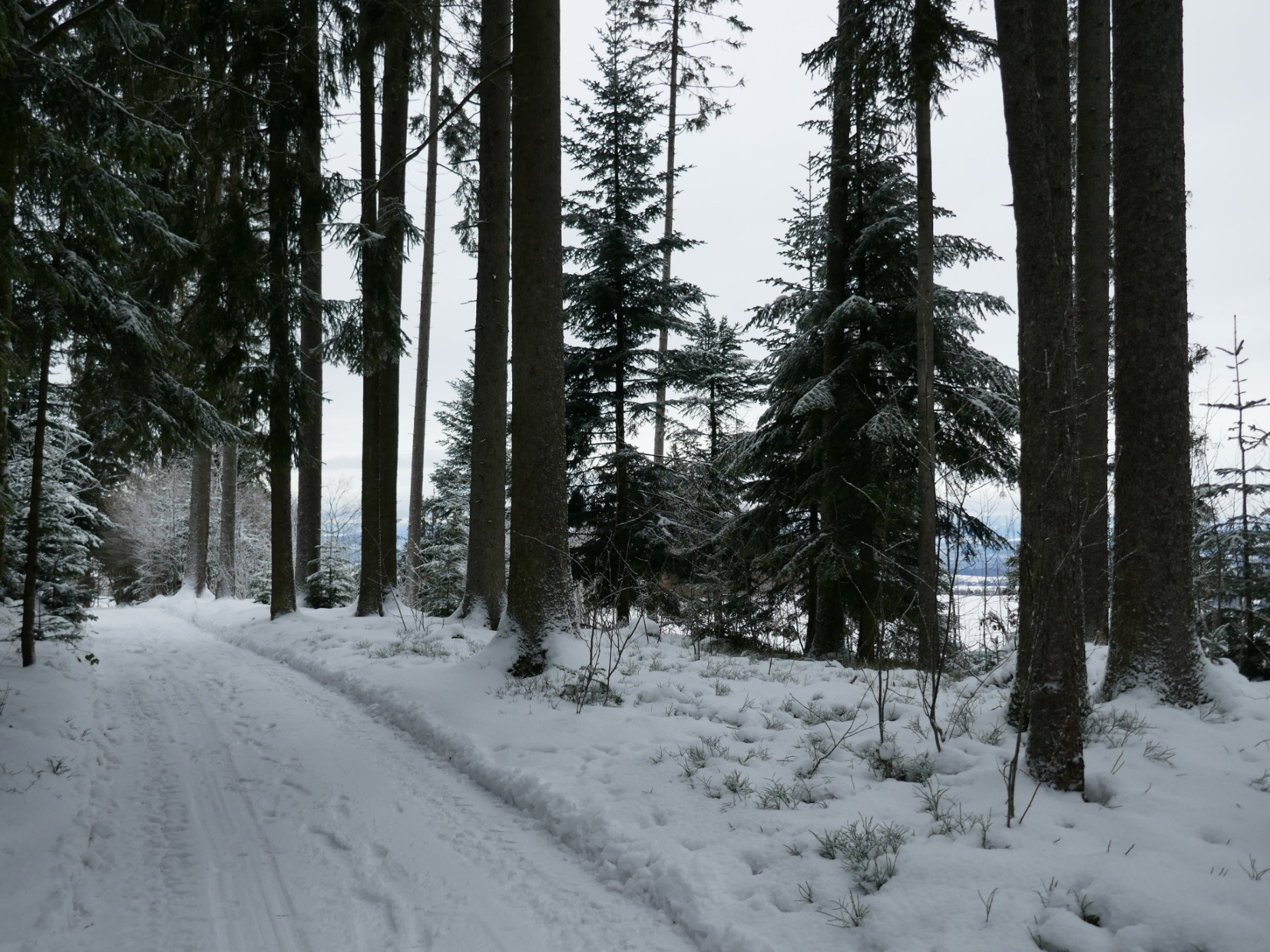
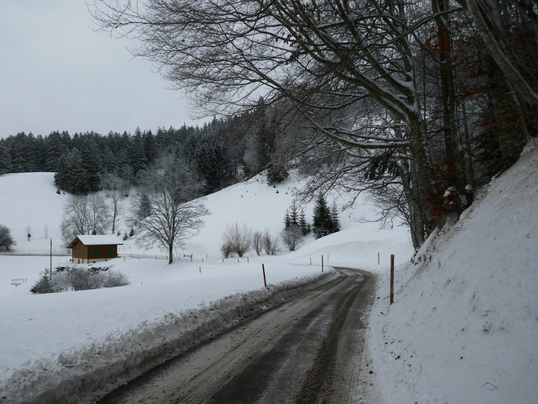
After a slight ascent, the village of Guggisberg is reached. The Vreneli, with its legendary, melancholically sad story, is everywhere present there. For example, on the village square stands the Vreneli fountain with the bronze Vreneli statue. A visit to the Vreneli museum is also recommended with prior reservation. A visit to the church with its late Gothic tower, the baroque organ on the gallery, and the stained glass windows is definitely worthwhile. From the church terrace, there is an unobstructed view towards the Schwarzsee area. You leave the village on the hiking trail towards Sand. The view towards Plaffeien and the Freiburg region opens up. From Sand via Wahlenhus to just before Neuenmatt, the road now runs on the shady north side of the Guggershörnli and Schwendelberg. From this terrain terrace, in good weather, the view spans across the entire Schwarzenburgerland towards Bern and the Jura Mountains. Similar to Emmental, a landscape shaped by water with ditches and furrows lies before us. On the hard Nagelfluh terraces lie the settlements and fields. The steeper parts are mostly covered by forest. Before Neuenmatt, our route leaves the road. Through the hopefully snow-covered forest and via the hiking trails, you finally arrive back down to Riffenmatt.
Route-information
Route-information
- Length
- 6.26 km
- Altitude difference ascent
- 99 m
- Altitude difference descent
- 98 m
- Time required
- 1 hour 40 minutes
- Level technique
- Easy
- Level condition
- Easy
Details
Equipment / Equipment rent
Besides slip-resistant hiking boots, no other equipment is needed.
Arrival
Arrival
- Starting point
- Riffenmatt (Höhe: 1077 m)
- Arrival by public transport
- Riffenmatt, Kreuzung Timetable SBB
- Destination
- Riffenmatt (Höhe: 1077 m)
Suitable for
The offer is suitable for
- Adults
- Children < 6 years
- Children from 7-12 years
- Children >12 years
- 50+
- Families
- Groups


Season
January, February, March, DecemberContact
Naturpark GantrischFörderverein Region Gantrisch
Schlossgasse 13
3150 Schwarzenburg
T +41 (0)31 808 00 20
www.gantrisch.ch