



Mont-Soleil Tour
Parc régional Chasseral - This wonderful tour will calmly lead you from Saignelégier towards the Mont-Soleil and back to the start. You will come across beautiful landscapes within the Doubs and Chasseral Nature Parks.
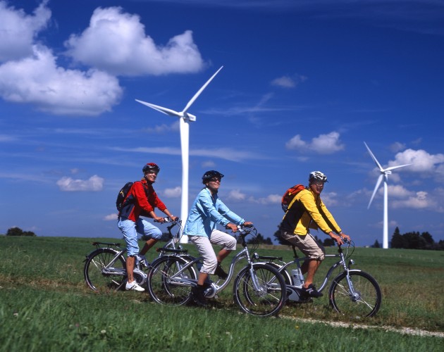
The tour starts in the Parc du Doubs in Saignelégier and leads through pastures, forest patches and isolated groves. Along the cycle path, you will come across the famous Franches-Montagnes horses again and again. The electric motor makes it easy to climb Mont-Soleil. A photovoltaic solar power plant and wind turbines are operated on Mont-Soleil and Mont-Crosin. A discovery trail with playful attractions links the two facilities. You can contemplate the Chasseral ridge, which can be easily spotted with its antenna. On the way back, you will pass the Gruère pond, emblematic of the Jura plateau. An information centre on this fascinating environment is located one kilometre further on, in Les Cerlatez, a typical Jura village. A stop there is a must.
Route-information
Route-information
- Length
- 42.00 km
- Amount untarred route
- 2.00 km
- Altitude difference ascent
- 500 m
- Altitude difference descent
- 500 m
- Time required
- 4 hours 30 minutes
- Level technique
- Easy
- Level condition
- Middle
Details
Curiosities along the way:
1. Etang de la Gruère
2. Hamlet Les Cerlatez
3. Mont Soleil and Mont Crosin
4. Pastured woodlands
Possibilities for catering
SaignelégierLes Cerlatez
Les Reussilles
Mont Crosin
Mont Soleil
Equipment / Equipment rent
Rent a Bike - bike rental stationLes Chemins de fer du Jura
Rue de la Gare 11
2350 Saignelégier
http://www.les-cj.ch ou www.rentabike.ch
+41 (0) 32 952 42 75
Opening hours
Mo - Fr: 5:15 a.m.- 9:30 p.m.
Sa: 6:00 a.m.- 9:30 p.m.
Su: 7:00 a.m.- 9:30 p.m.
Safety advices
From 16 years old onwardsSignalization
Signage: From Saignelégier, follow the signs "Nr. 7" until you reach the Mont-Soleil. Then follow the signs "Nr. 54" until Tramelan and the local signs until the Etang de la Gruère. Finally, follown the signs "Nr. 7" until you arrive back in Saignelégier.Arrival
Arrival
- Starting point
- Saignelégier (Altitude: 981 m)
- Arrival by public transport
- Saignelégier, gare Timetable SBB
- Destination
- Saignelégier (Altitude: 981 m)
Suitable for
The offer is suitable for
- Adults
- 50+
- Groups

Season
Mai, June, July, August, September, OctoberContact
Les Chemins de Fer du Jura - Gare de SaignelégierRue de la Gare 11
2350 Saignelégier
T +41 (0)32 952 42 75
www.les-cj.ch