UNESCO Biosphäre Entlebuch
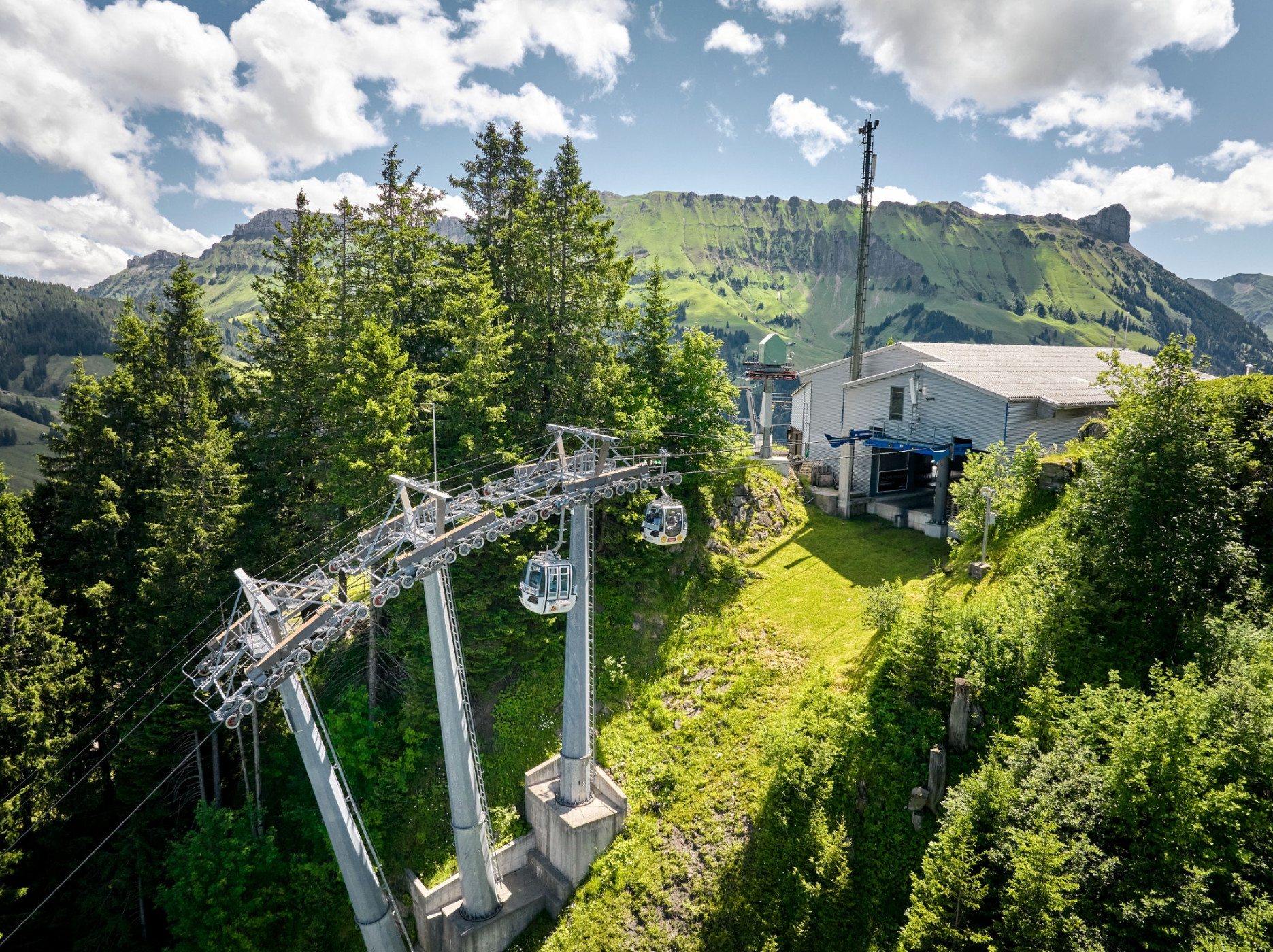
Marbachegg gondola lift
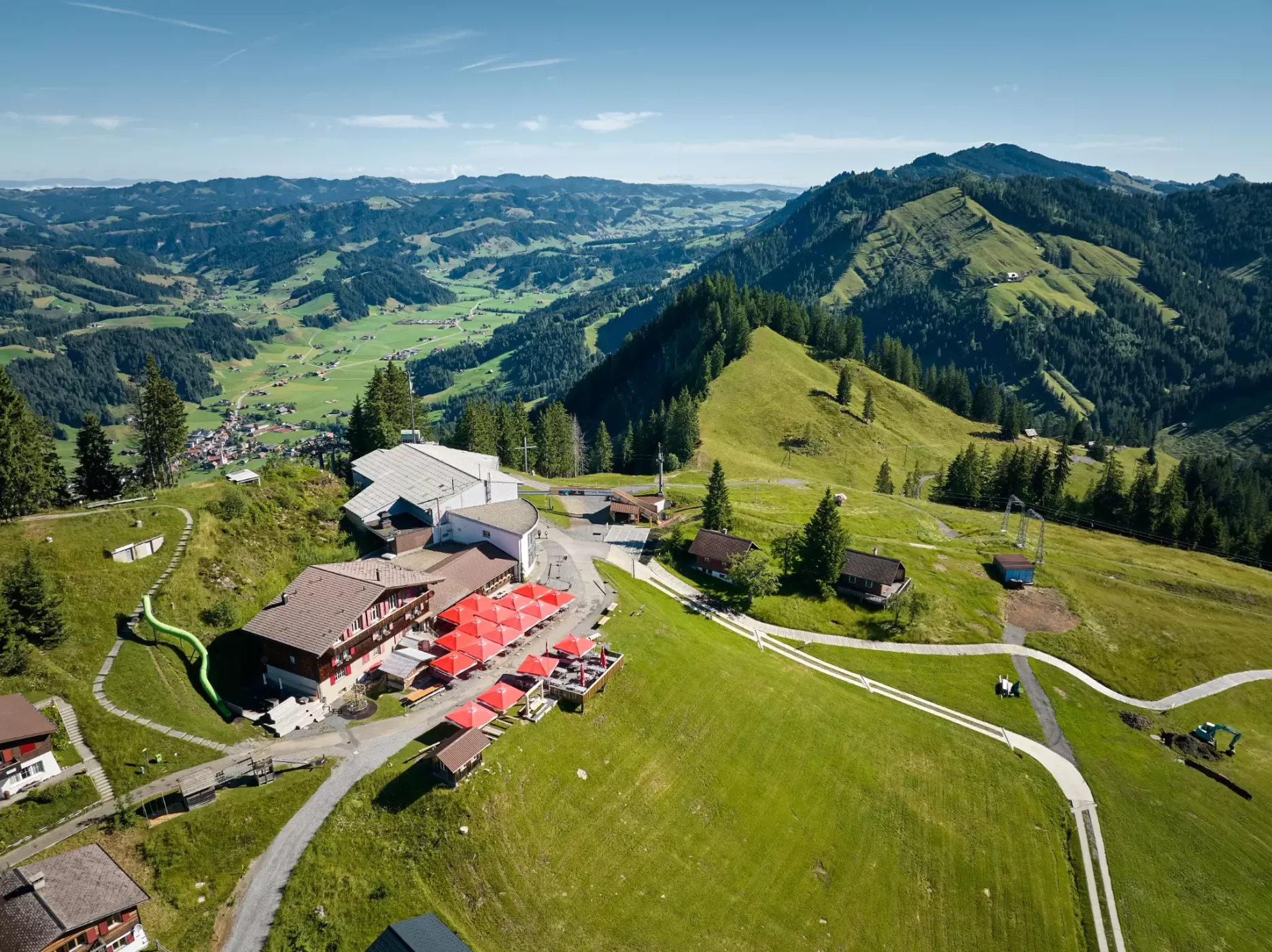
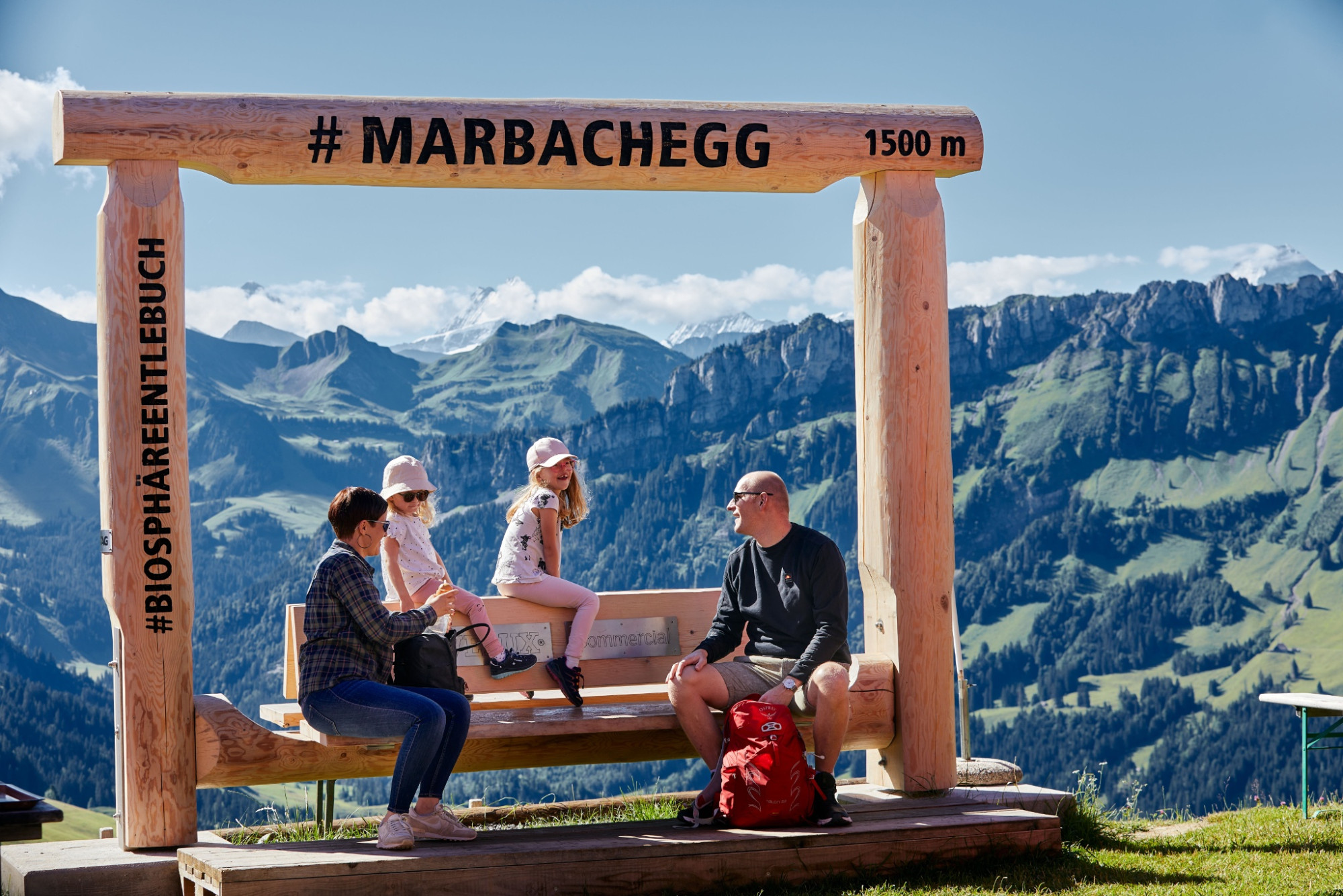
Marbachegg at 1500 m - the sun terrace with the most beautiful panorama, where Emmental and Entlebuch meet.
Infrastructure SummerInfrastructure WinterFunicular
Swiss Parks Network
Monbijoustrasse 61
CH-3007 Berne
Tel. +41 (0)31 381 10 71
Mob. +41 (0)76 525 49 44
info@parks.swiss


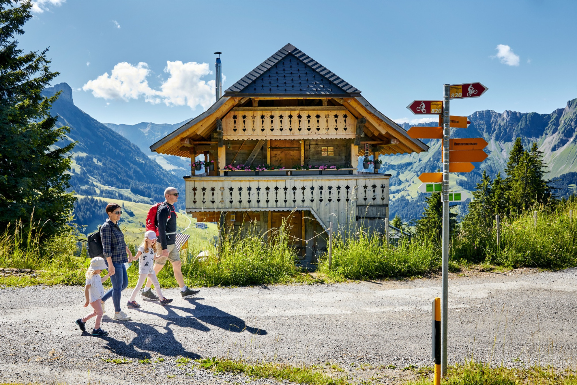
UNESCO Biosphäre Entlebuch - The scenic panoramic hike with a sweet reward!
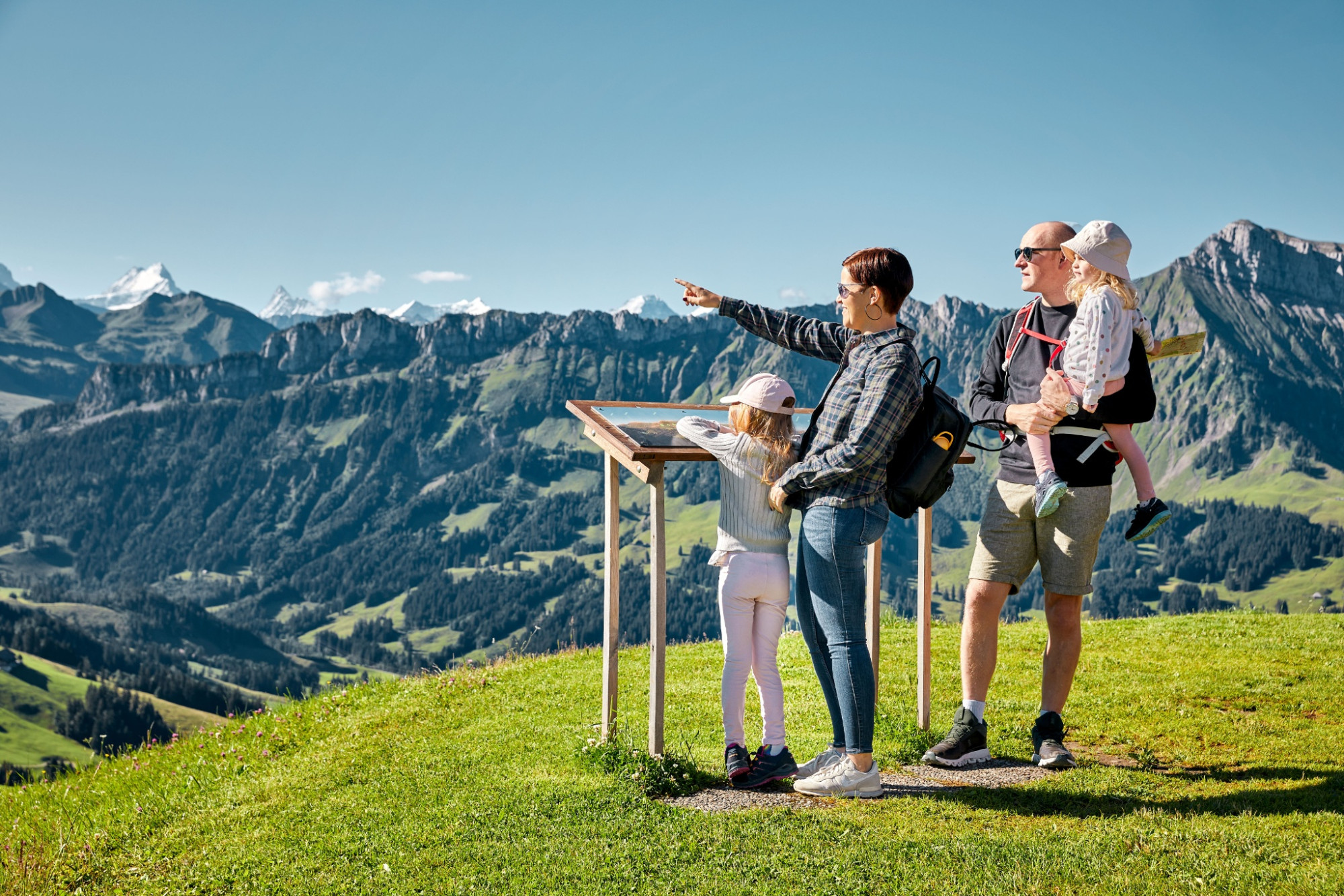
The first altitude meters you cover from Marbach with the Bretzeli-Bahn up to Marbachegg. Here you best enjoy first the incredible view of the legendary Schrattenfluh, the Hohgant, and the white-dusted Bernese Alps in between. After a short refreshment at the mountain guesthouse Marbachegg, you can start.
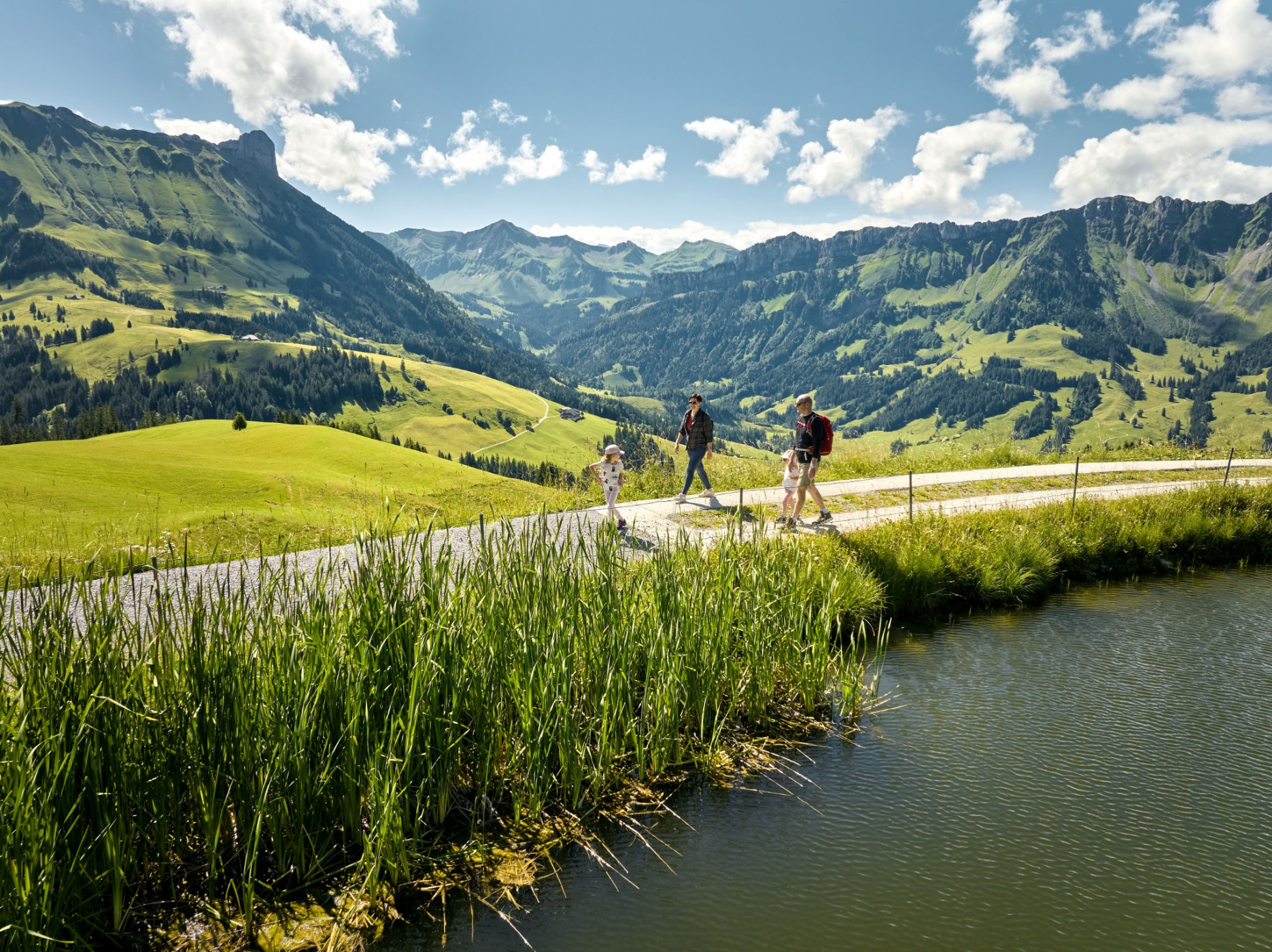
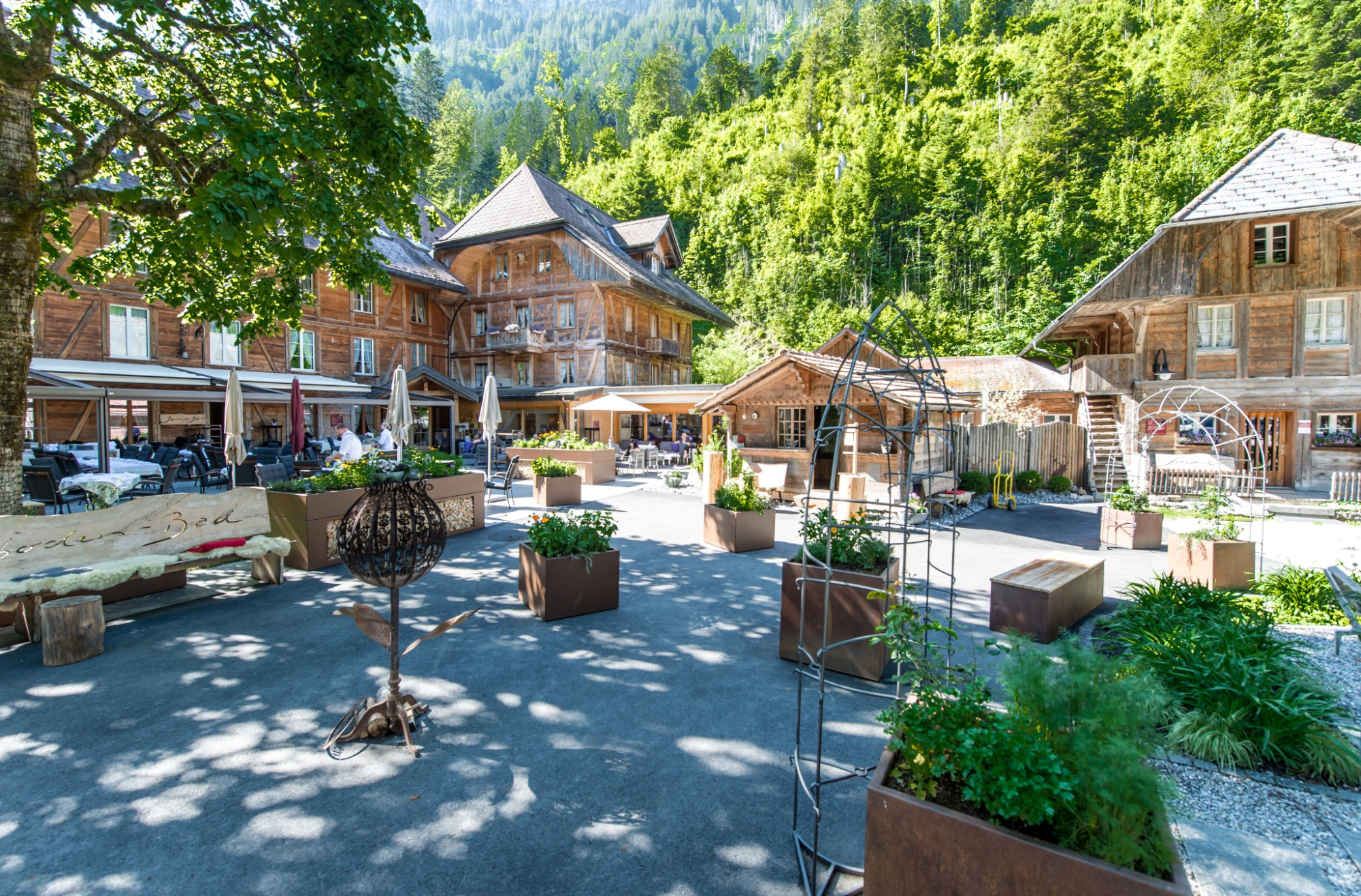
Past Spichersee, the hike leads to Ober Lochsitli, towards Wittenfären and Kadhus. At the fork left to Alp Imbrig, you can make a short detour to the alpine cheese dairy and the alpine tavern or continue on the hiking trail towards Oberhabchegg. From there, it goes towards Lauizug and then to Schibenhüttli. A steep, rocky path guides you further over Ober and Unter Chemmeri to the valley floor of the Great Emme. At the country inn Kemmeriboden-Bad, you should not miss the famous "Merängge" from the charcoal oven. With the post bus, you return to the starting point again.
Escholzmatt-Marbach Tourism
Tourism office Marbach
Dorfstrasse 61
CH-6196 Marbach
Telephone +41 (0)34 493 38 04
www.escholzmatt-marbach-tourismus.ch
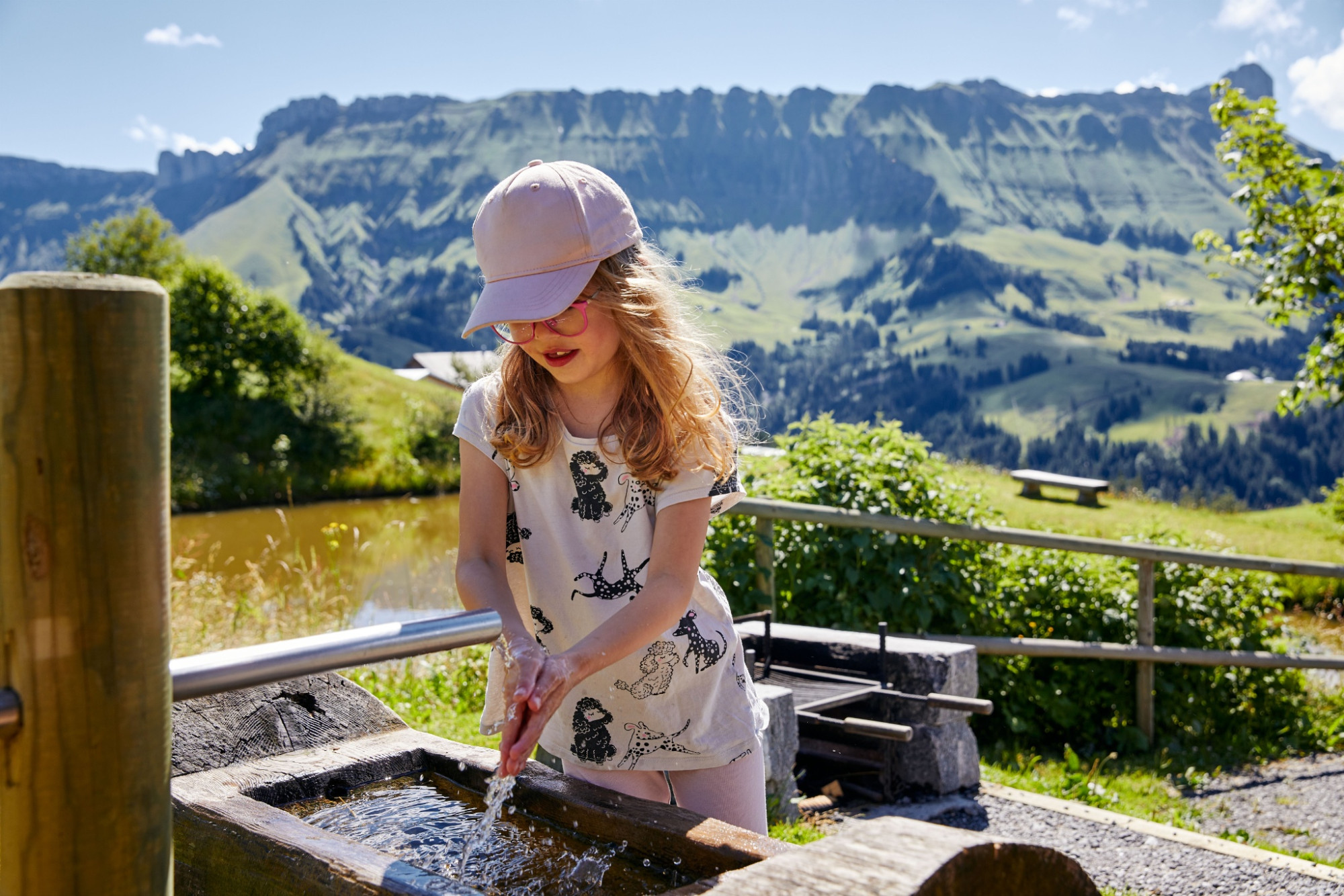
Good footwear, rain jacket & enough drinking water for the way belong to every hike.
More tips for safe hiking, information about mother cow herds and herd protection dogs, and much more can be found on the website of Swiss Hiking Trails.
After Schibenhüttli, the descent becomes steeper and rockier.
Marbachegg at 1500 m - the sun terrace with the most beautiful panorama, where Emmental and Entlebuch meet.
Im rustikalen und gemütlichen Berggasthaus Marbachegg werden Sie kulinarisch verwöhnt.
Surrounded by pure nature, Kemmeriboden-Bad guests want for nothing. Relaxation and culinary delights await in a lovingly restored house with every comfort and modern infrastructure.