


Entlebuch Emmental High Route Stage 1: Doppleschwand - Obstaldenegg
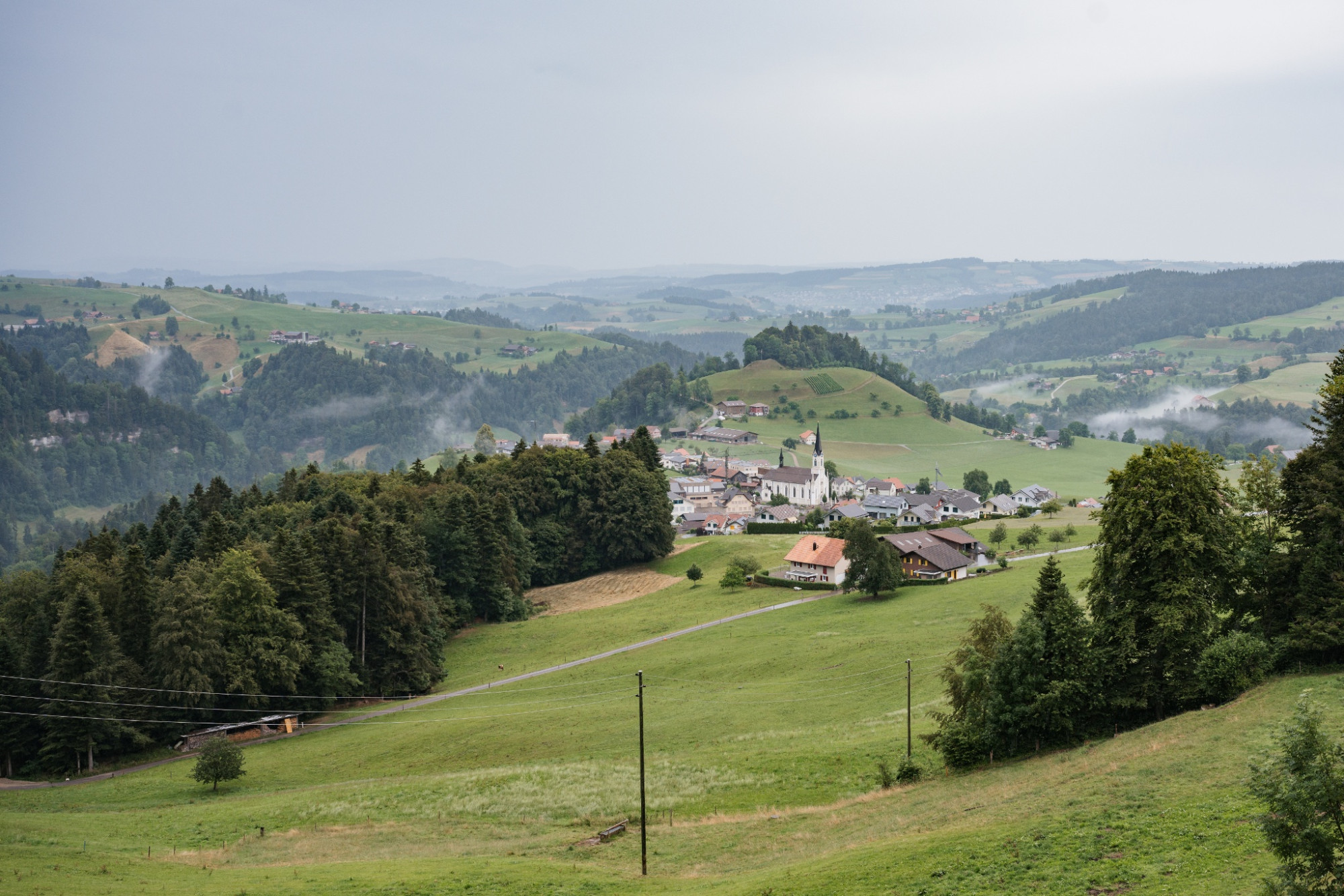
UNESCO Biosphäre Entlebuch - View of majestic mountain panoramas.
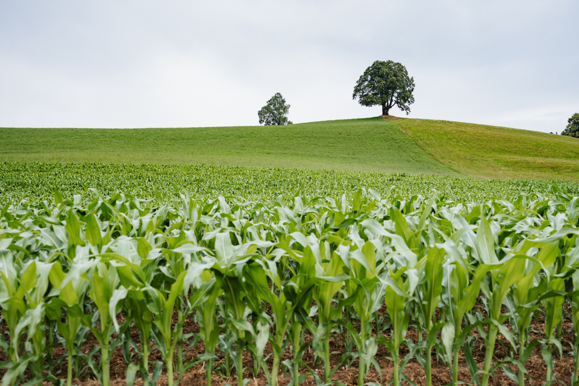
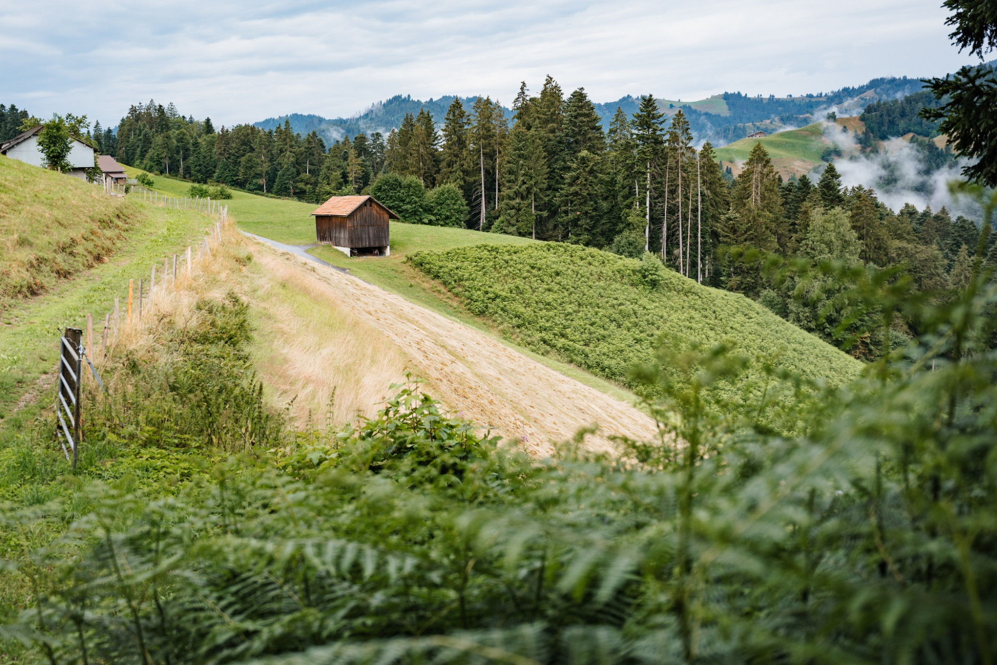
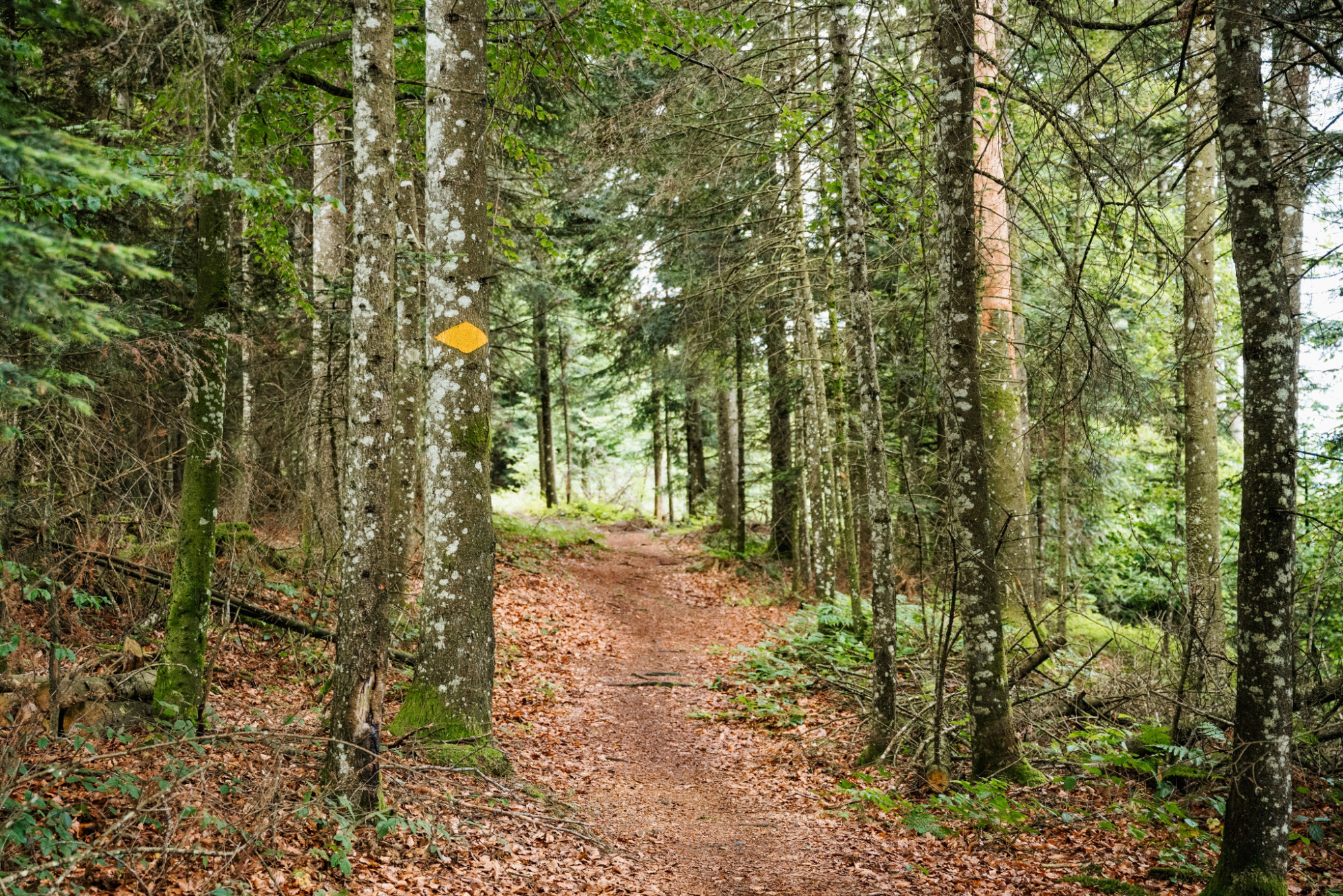
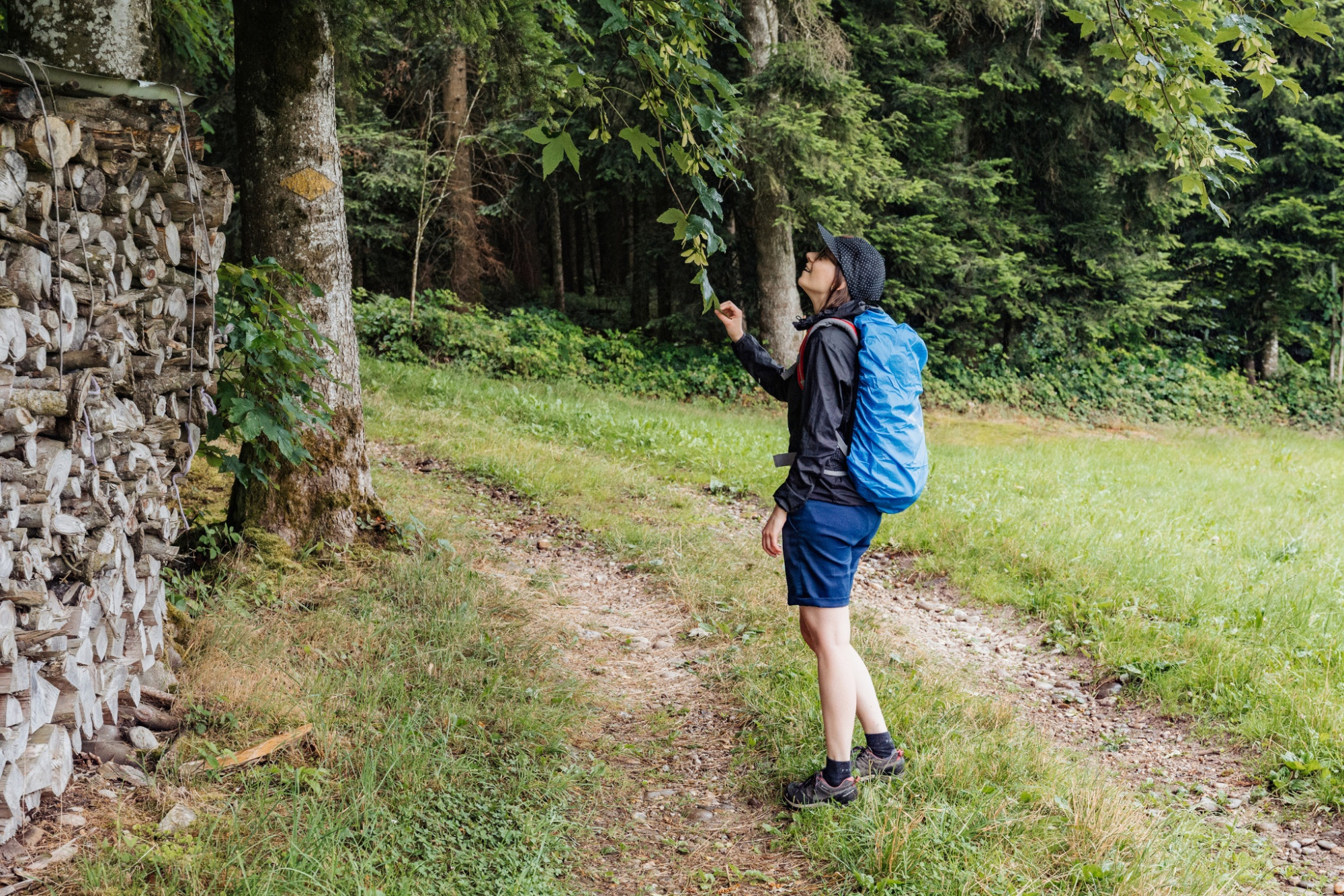
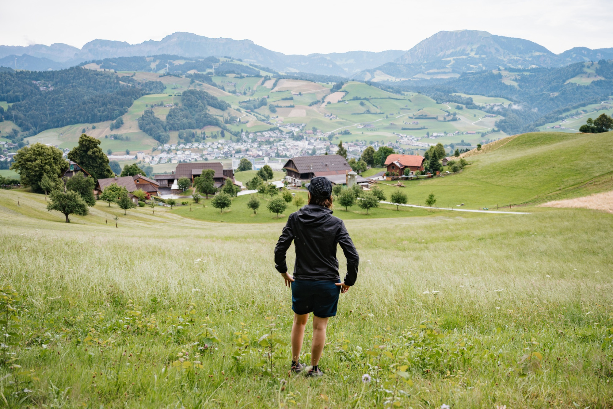
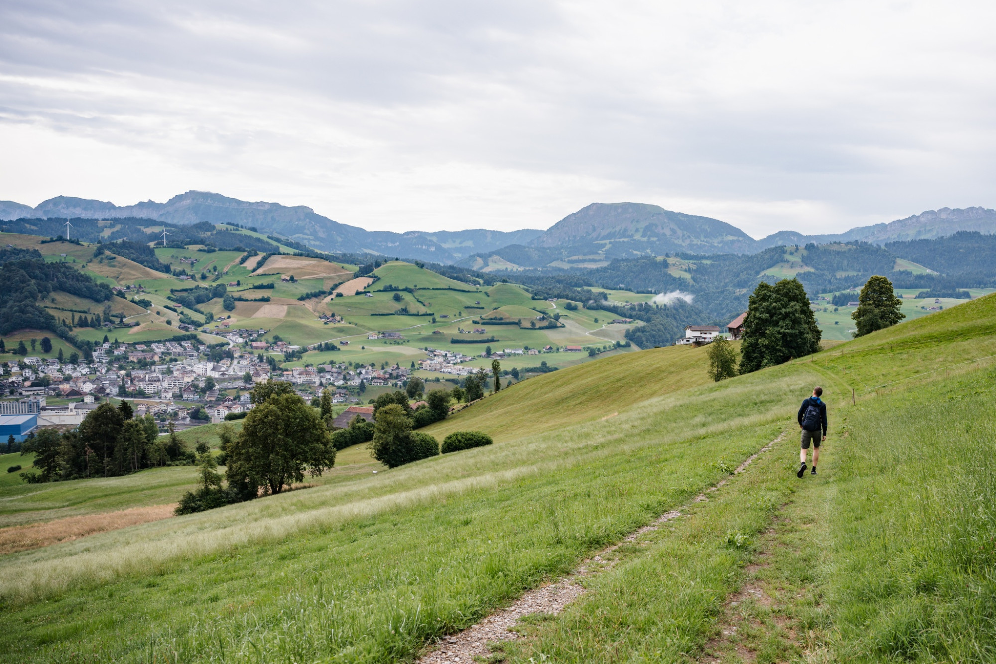
The first stage of the Entlebuch-Emmental high route starts in the middle of the village Doppleschwand and leads directly out into the beautiful natural landscape. Once you’ve managed the first few altitude meters, a fantastic view of the hilly landscape immediately opens up. The path repeatedly leads through cosy forests and then suddenly the terrain opens up again and the impressive mountain panorama unfolds.
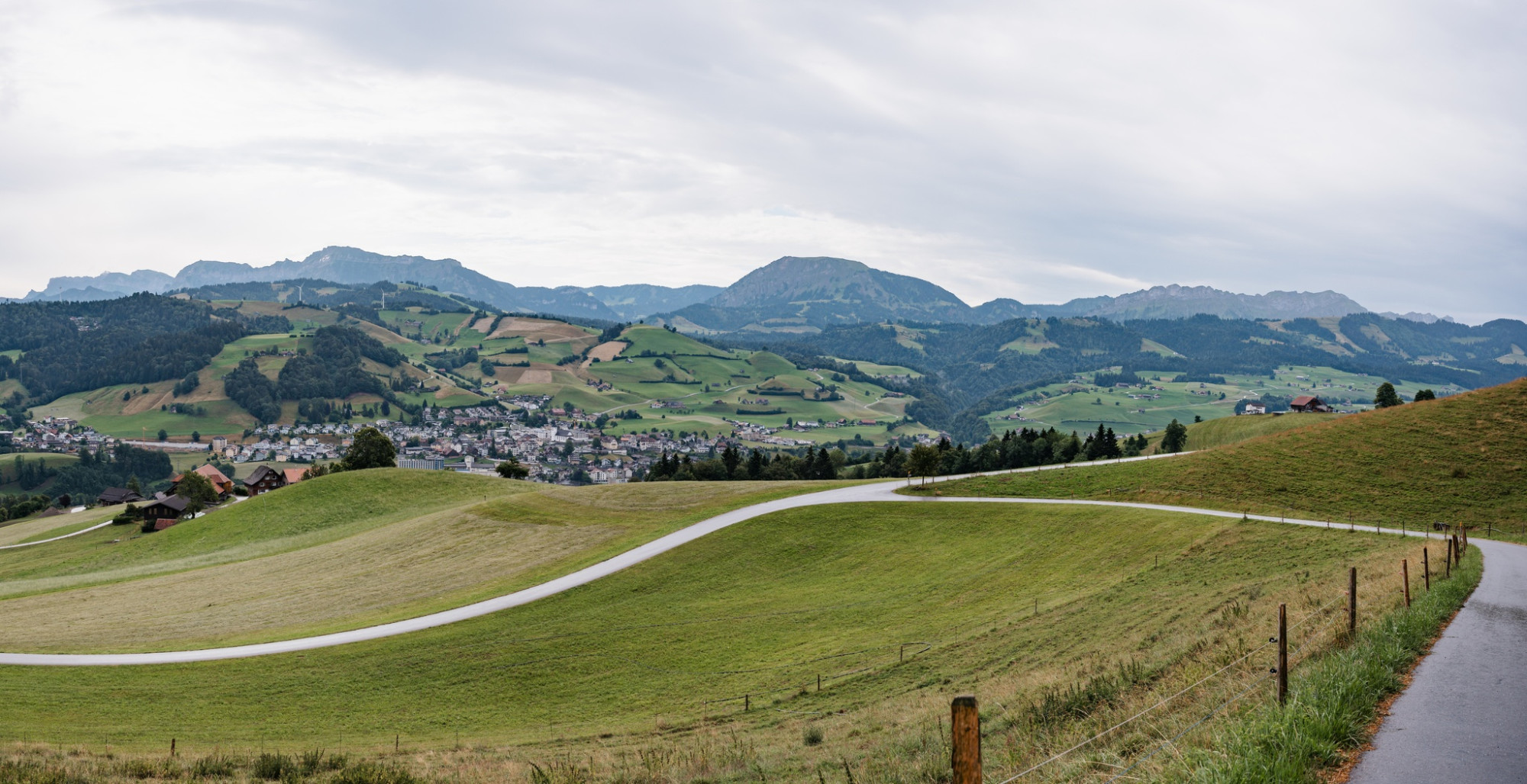
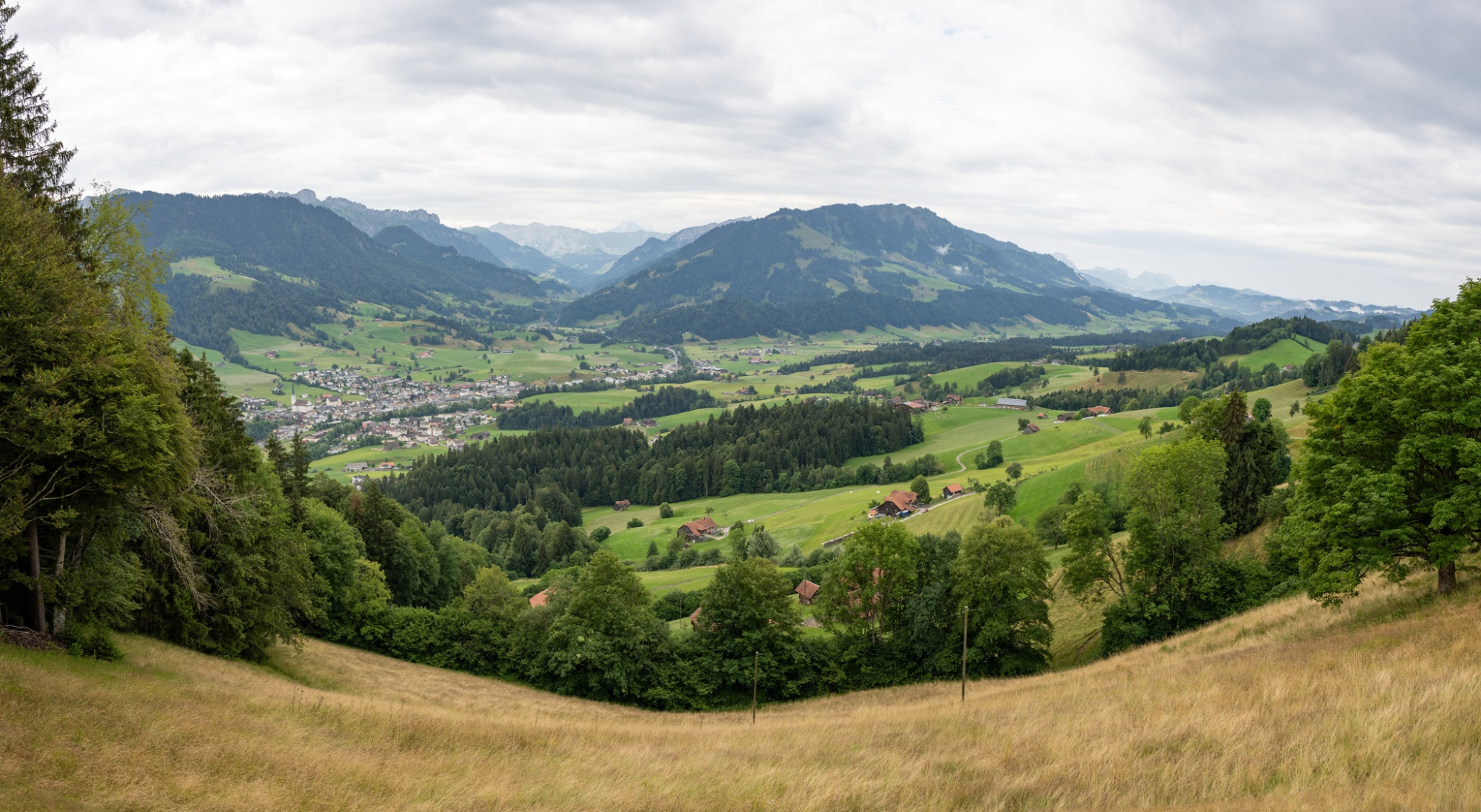
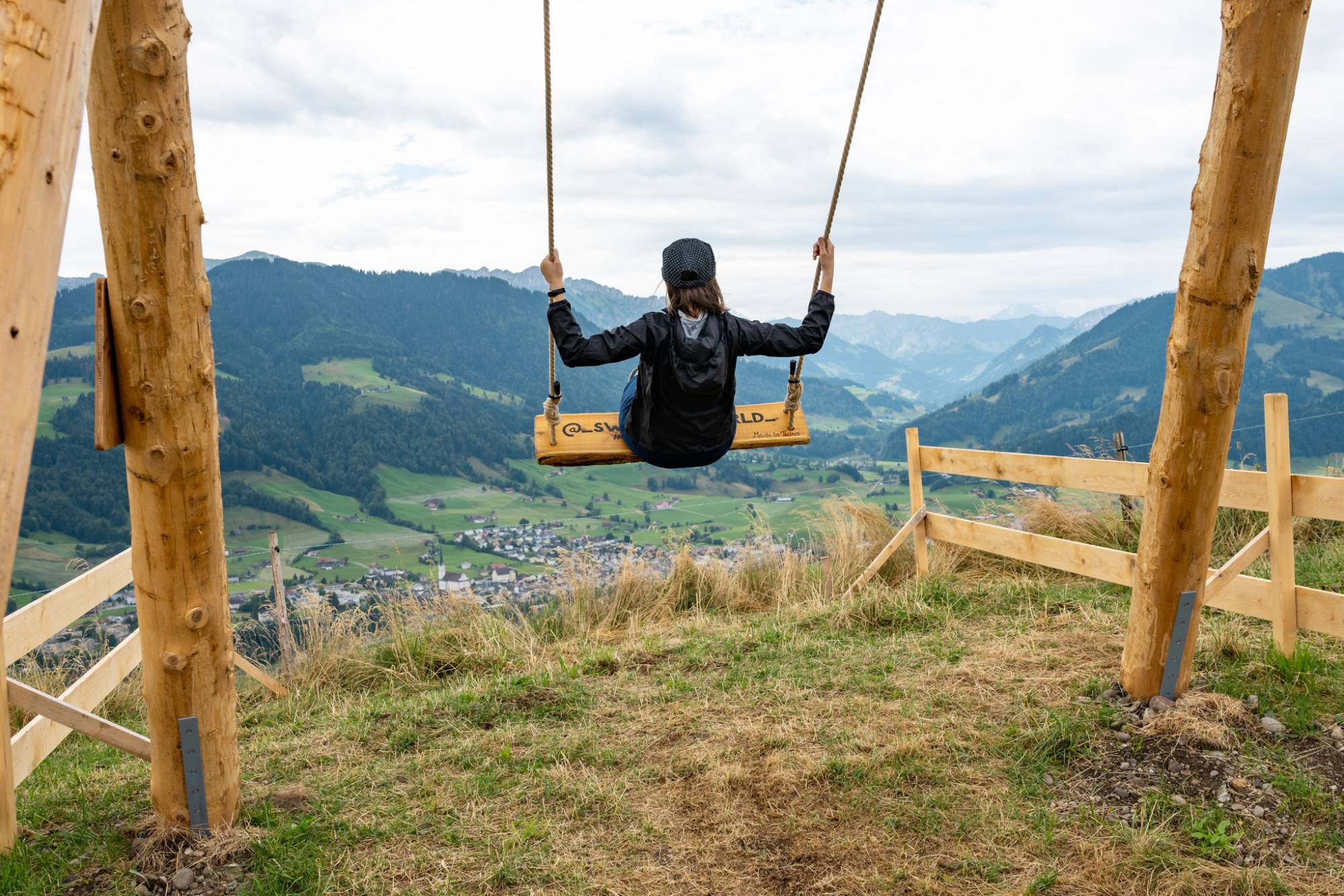
After the first forest section, you are above the village of Entlebuch and catch a great view of the village with the imposing shipping center, the even more imposing wind turbines on the opposite valley side, as well as the charming peaks of Risete, Schafmat and others. With this view, you continue towards Habschwanden / Hasle and soon dive back into a longer forest section. The smell of moss and earth, as well as the calming rustle of the leaves, accompany you every step of the way. At Schüpfergg, you emerge again into the open terrain and are rewarded with an incredible view. On the right the extensive Napf area, and on the left the village of Schüpfheim with Farnere, Beichle, and in between a distant view to the Brienzergrat and the Bernese Alps. For the 100th anniversary year of Schüpfheim Tourism, a huge Swing the World swing was erected here, with a direct view of the village and the surrounding mountains. This must, of course, be tried out immediately!
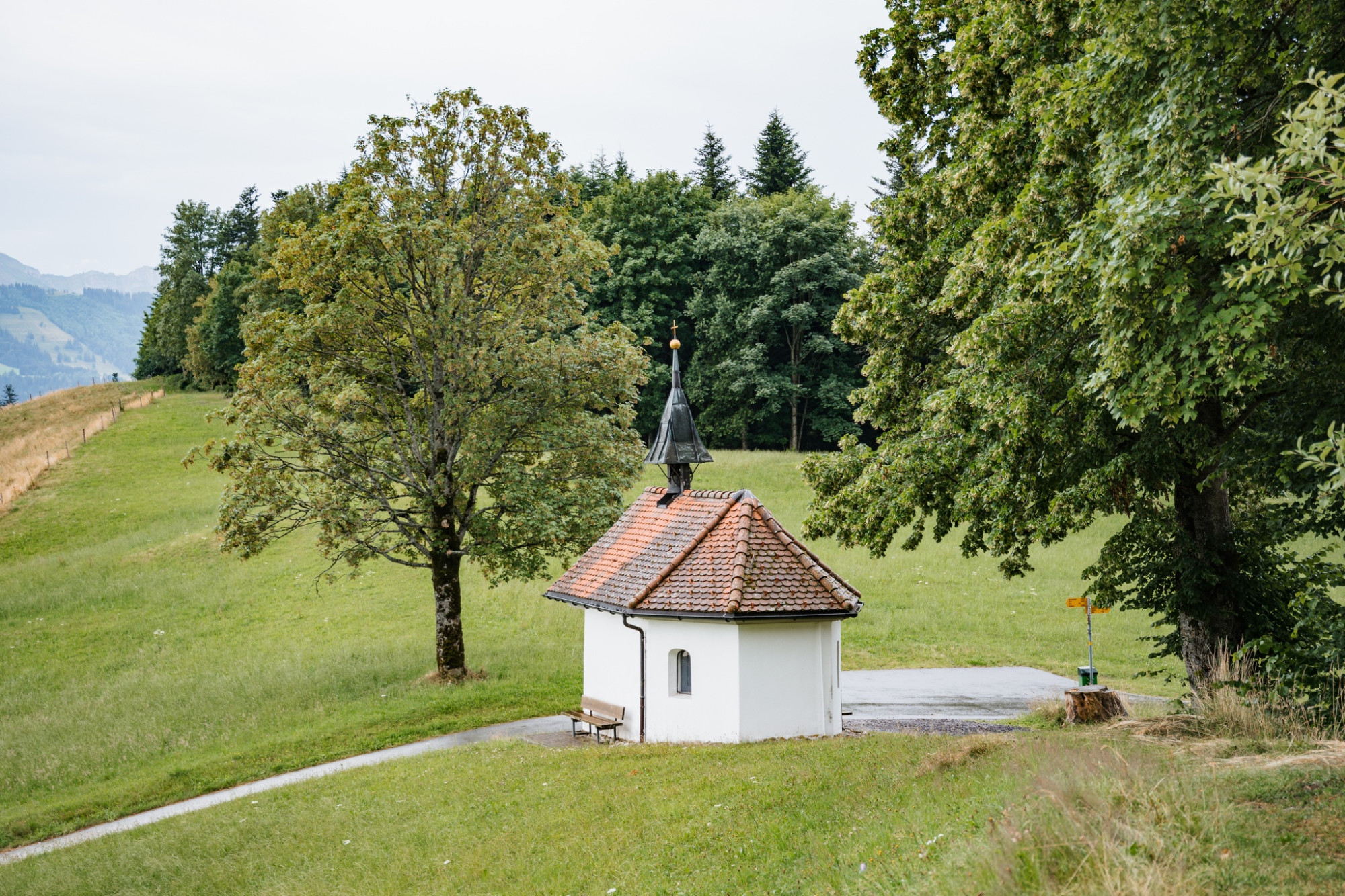
Now it is not far. Two short forest sections lead you to Obstaldenegg. Here, a nice barbecue area also awaits for a longer rest.
The second stage leads you from Obstaldenegg in Schüpfheim to Turner in Escholzmatt.
Route-information
Route-information
- Length
- 9.95 km
- Altitude difference ascent
- 495 m
- Altitude difference descent
- 203 m
- Time required
- 3 hours 7 minutes
- Level technique
- Easy
- Level condition
- Middle
Details
UNESCO Biosphere Entlebuch
c/o Biosphere Centre
Chlosterbüel 28
CH-6170 Schüpfheim
Phone +41 (0)41 485 42 50
www.biosphaere.ch
Equipment / Equipment rent
Good footwear, a rain jacket & sufficient drinking water for the way belong to every hike.
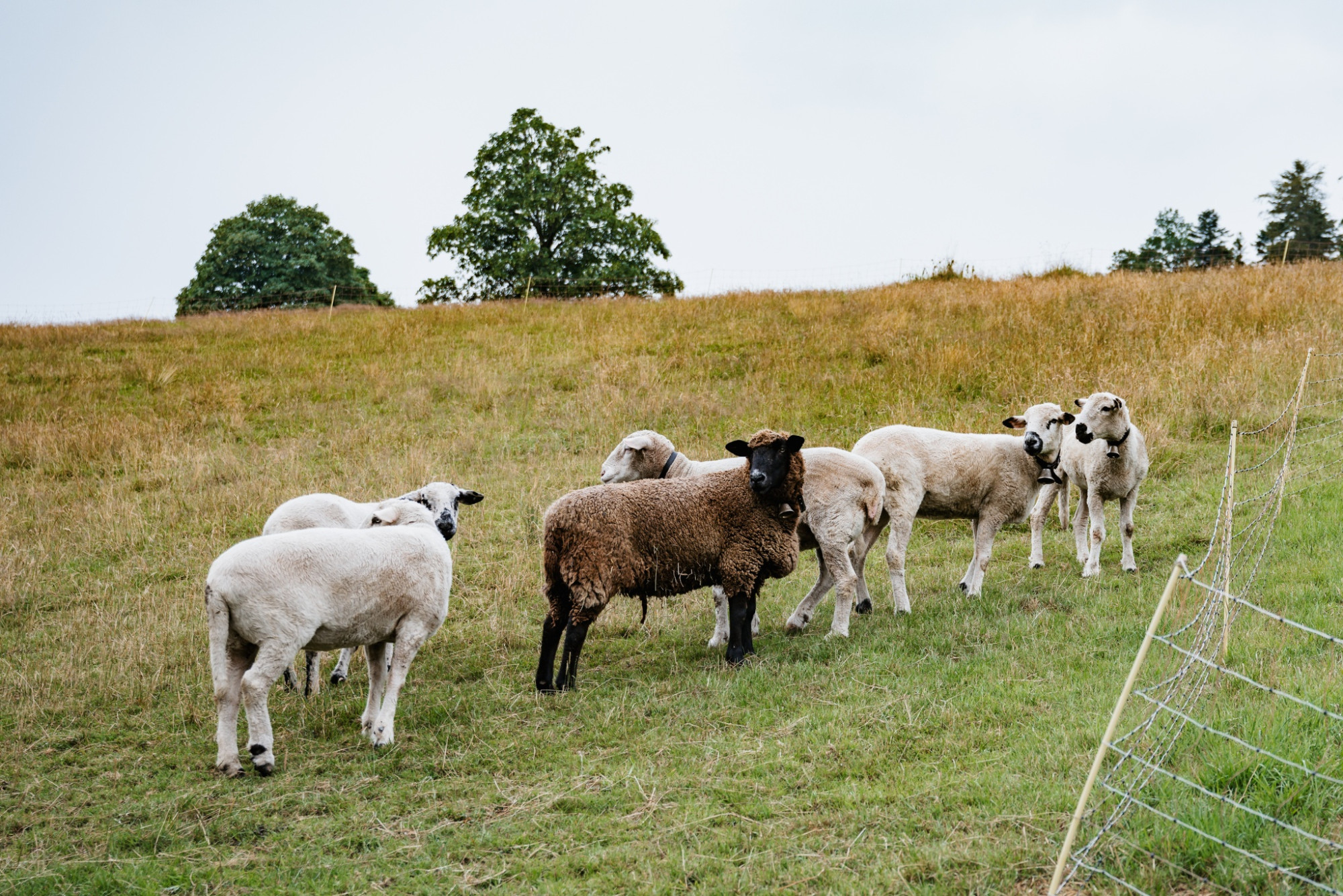
Further tips for safe hiking, information on suckler cow herds and livestock guardian dogs, and much more can be found on the website of the Swiss Hiking Trails.
Signalization
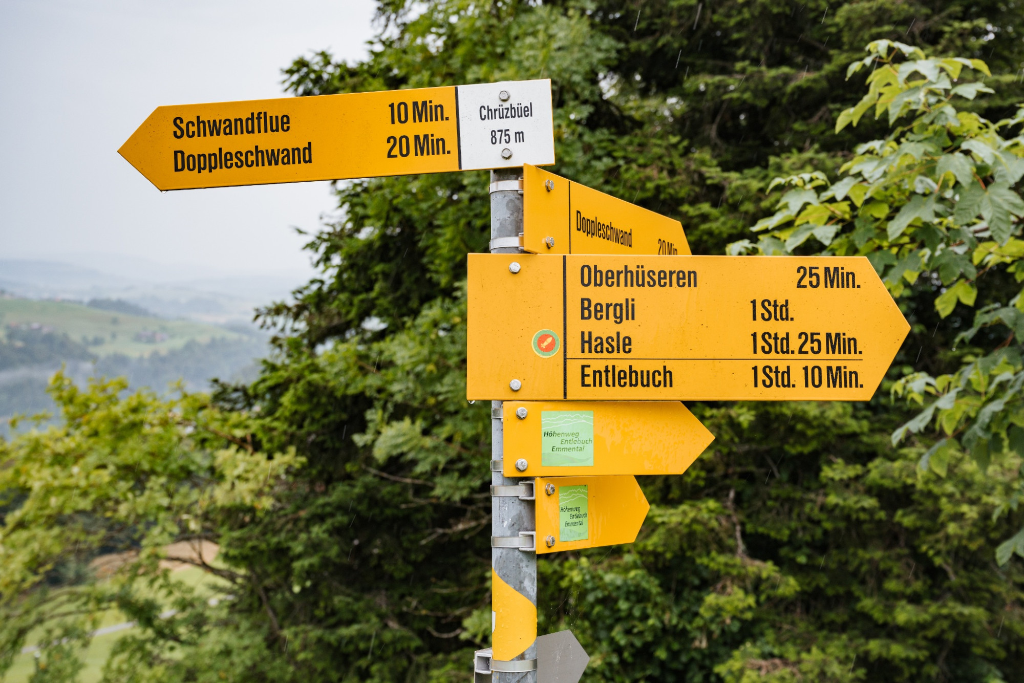
Stage 1: Doppleschwand – Obstaldenegg
Doppleschwand Post – Weghus – Chrüzbüel – Oberhüseren Chapel – March – Chriesbaumen – Bergli – (> descent to Hasle) – Hohmättili – Voglisbergegg – Schüpfergg – Obstaldenegg
Descents / Ascents
- Entlebuch station - Habschwanden: ascent 45 minutes, descent 35 minutes
- Hasle station - Bergli: ascent 35 minutes, descent 25 minutes
- Schüpfheim station - Obstaldenegg: ascent 1 hour 25 minutes, descent 1 hour 10 minutes
Arrival
Arrival
- Starting point
- Doppelschwand
- Destination
- Obstaldenegg, Schüpfheim
Suitable for
The offer is suitable for
- Adults
- 50+
- Families
Season
March, April, Mai, June, July, August, September, OctoberContact
UNESCO Biosphäre EntlebuchBiosphärenzentrum UNESCO Biosphäre Entlebuch
Chlosterbüel 28
6170 Schüpfheim
Tel. +41 41 485 42 50
www.biosphaere.ch