



Fürstei - Hike between Waldemme and Sarnersee
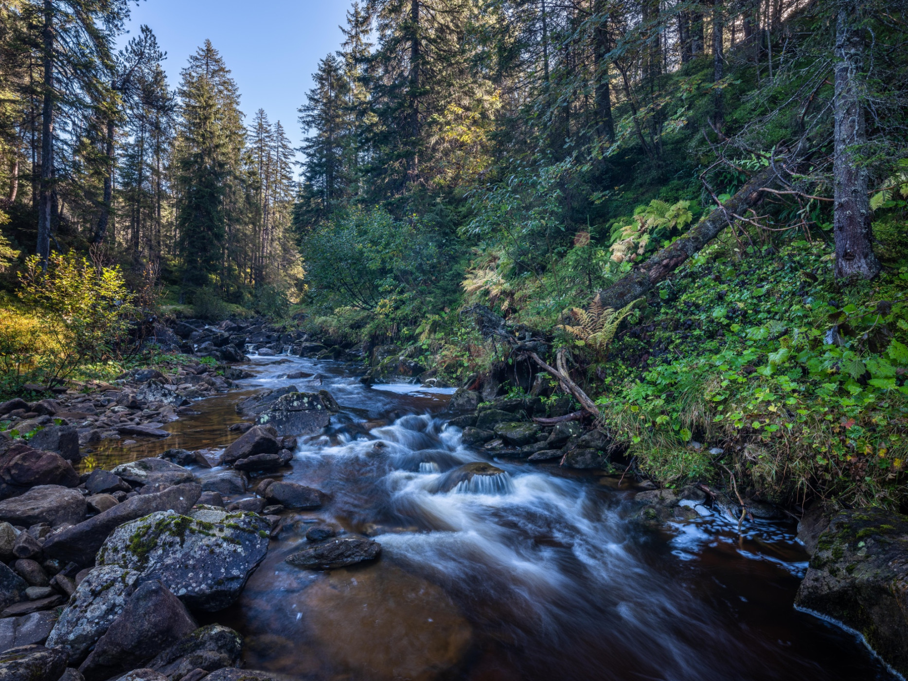
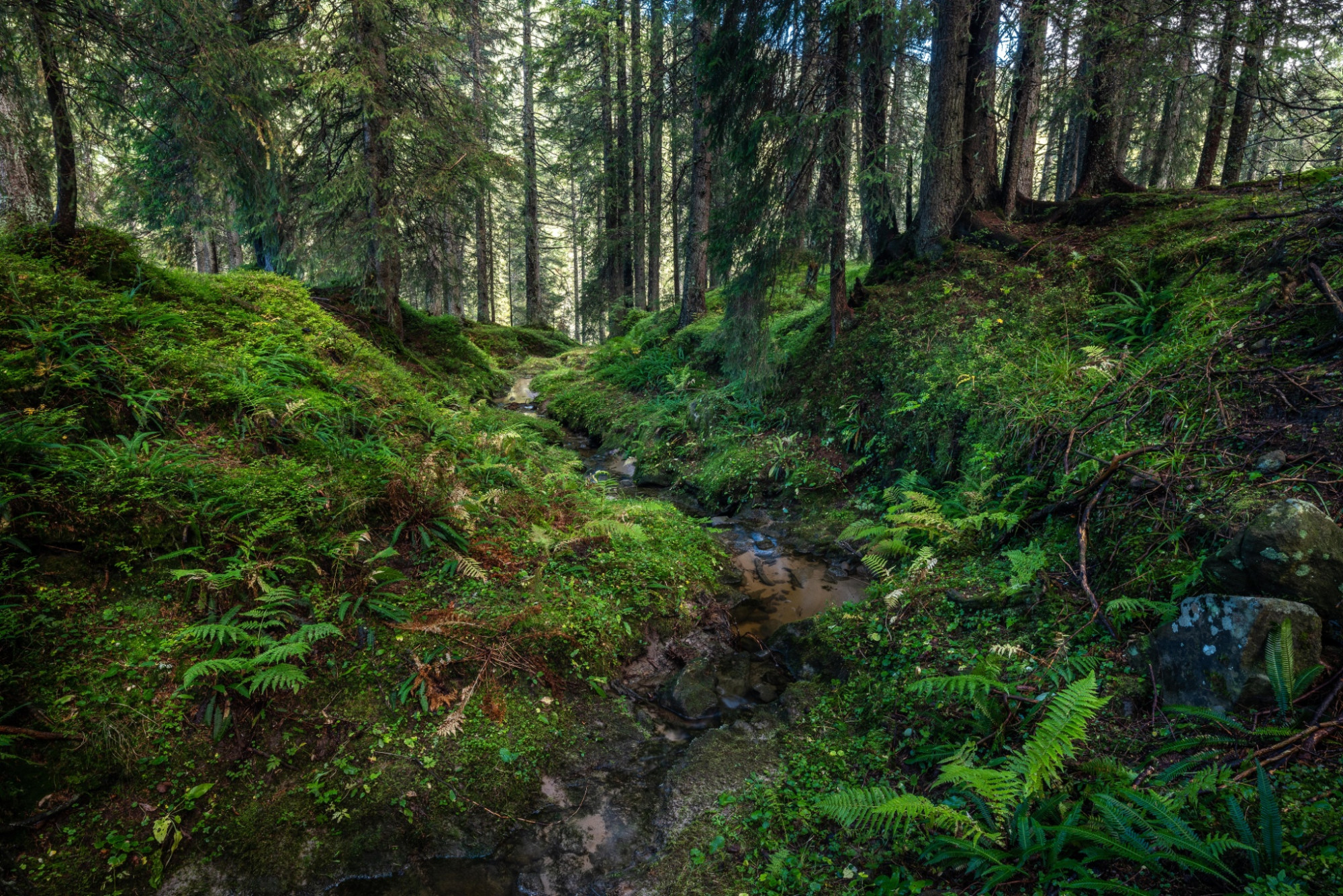
UNESCO Biosphäre Entlebuch - The mountain hike to Fürstei leads through the fantastic landscapes of the UNESCO Biosphere Entlebuch and Obwalden.
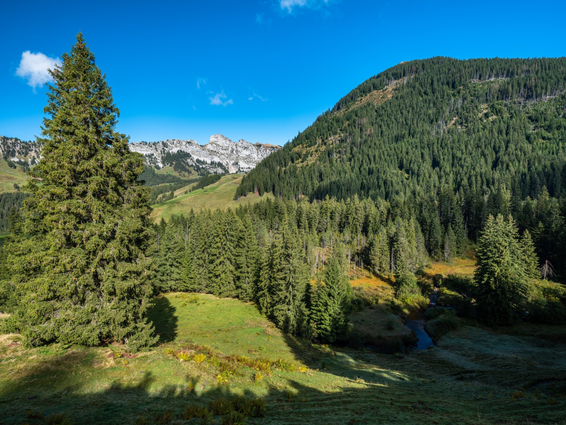
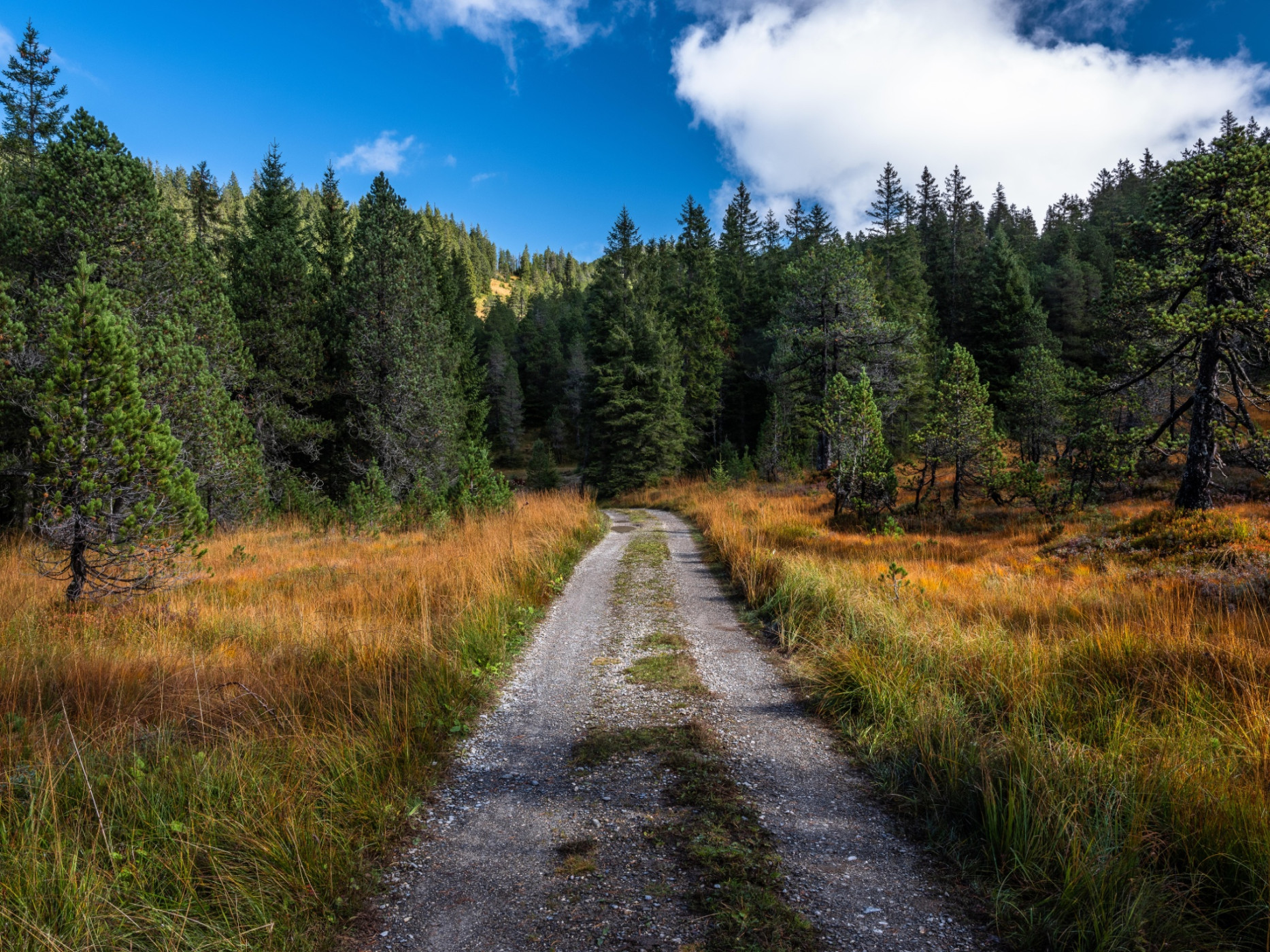
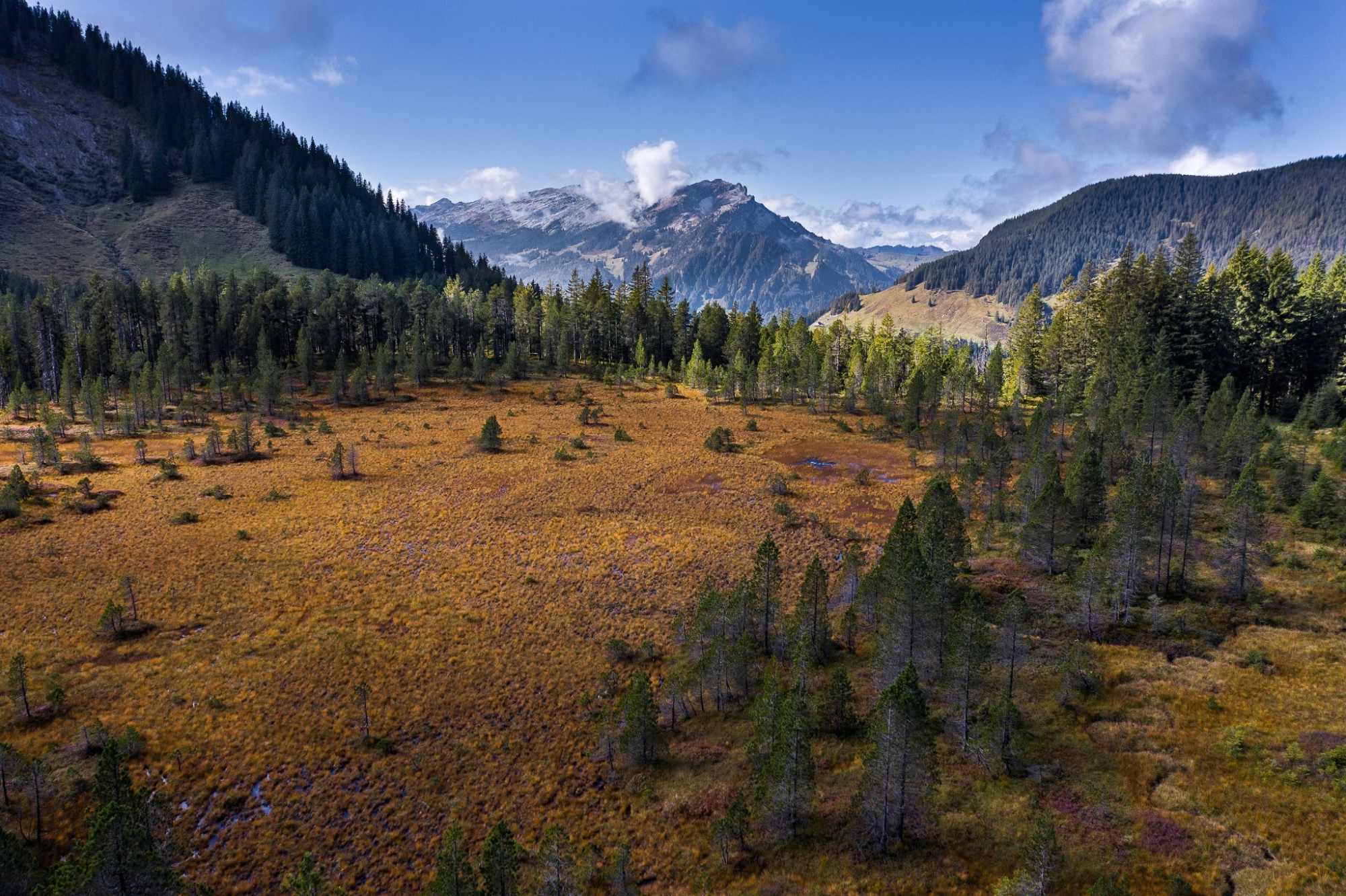
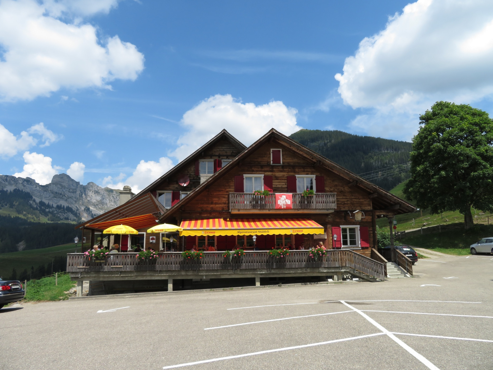
Every step is worth it when climbing the 2040 m high Fürstei. From Alpwirtschaft Stäldeli in Flühli, the route starts immediately uphill towards Seewenseeli. The path is easy to walk and mostly leads through the unique moorland of the Glaubenberg. You can rest assuredly take breaks here and there during a short pause to enjoy the mystical natural landscape. The first stop awaits at Seewenseeli. The small chapel with its beautiful benches invites you to take a short break. Enjoy the view of the small Seeli and the fantastic panorama of the surrounding mountains.
Then the ascent to Fürstei begins. Always uphill, the path demands some sweat drops. But once at the top, the breathtaking panoramic view rewards you – the view ranges from Pilatus in the northeast to the Bernese Alps in the southwest. From Fürstei, the path leads steeply downhill through sheep meadows and initially quite rough terrain to Wasserfallenegg. Here you leave the ridge and walk towards Änggenlauenen through forest and meadows on gently descending terrain back to the starting point Stäldeli.
In the Glaubenberg/Wasserfallen area there are various Swiss Army firing ranges. Detailed information and information on shooting dates can be found under "Safety information".
Route-information
Route-information
- Length
- 9.34 km
- Altitude difference ascent
- 710 m
- Altitude difference descent
- 690 m
- Time required
- 3 hours 40 minutes
- Level technique
- Easy
- Level condition
- Middle
Details
UNESCO Biosphere Entlebuch
Biosphere Centre
Chloschterbüel 28
CH-6170 Schüpfheim
Phone +41(0) 41 485 42 50
www.biosphaere.ch
Possibilities for catering
Alprestaurant StäldeliEquipment / Equipment rent
Good footwear, rain jacket & sufficient drinking water are part of every hike.
More tips for safe hiking, information about suckler cow herds and livestock guardian dogs and much more can be found on the website of the Swiss Hiking Trails.
Safety advices
Between Fürstei and Änggelauene steep, partly impassable path, only for sure-footed and experienced hikers.
Important info:
In the Glaubenberg/Wasserfallen area there are various Swiss Army firing ranges. Detailed information and information on shooting dates can be found here. Entering the dangerous area is life-threatening and therefore forbidden. The instructions of the barrier guards must be followed.
Signalization
Car park Alpwirtschaft Stäldeli - Seewenseeli - Fürstei - Änggelauene - Car park Alpwirtschaft Stäldeli
Arrival
Arrival
- Starting point
- Flühli, Parkplatz Alpwirtschaft Stäldeli
- Destination
- Flühli, Parkplatz Alpwirtschaft Stäldeli
Suitable for
The offer is suitable for
- Adults
- Children >12 years
- 50+
Season
June, July, August, September, OctoberContact
UNESCO Biosphäre EntlebuchBiosphärenzentrum UNESCO Biosphäre Entlebuch
Chlosterbüel 28
6170 Schüpfheim
T +41 41 485 42 50
www.biosphaere.ch