



Märe summit hike, 2090 m a.s.l.
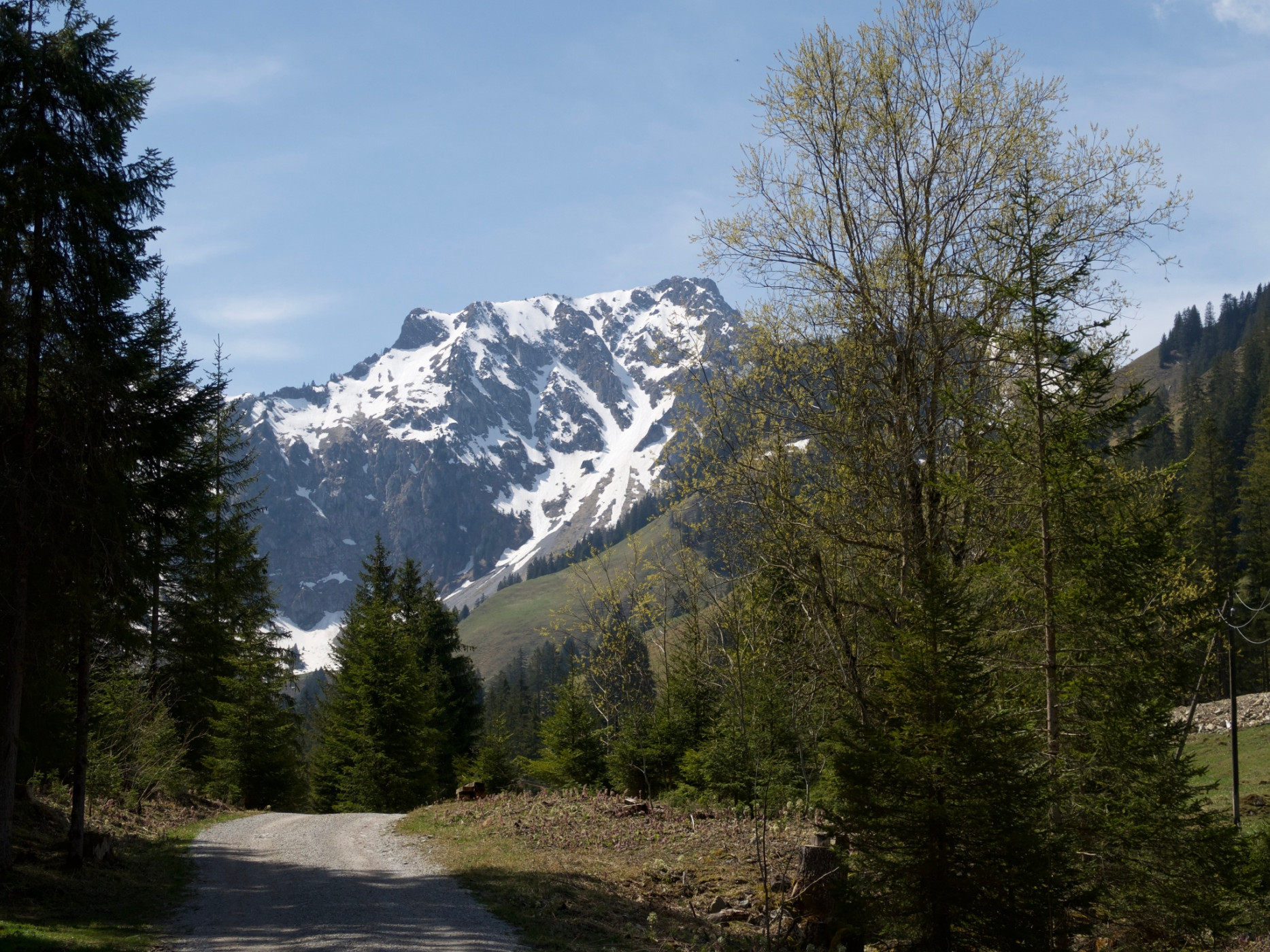
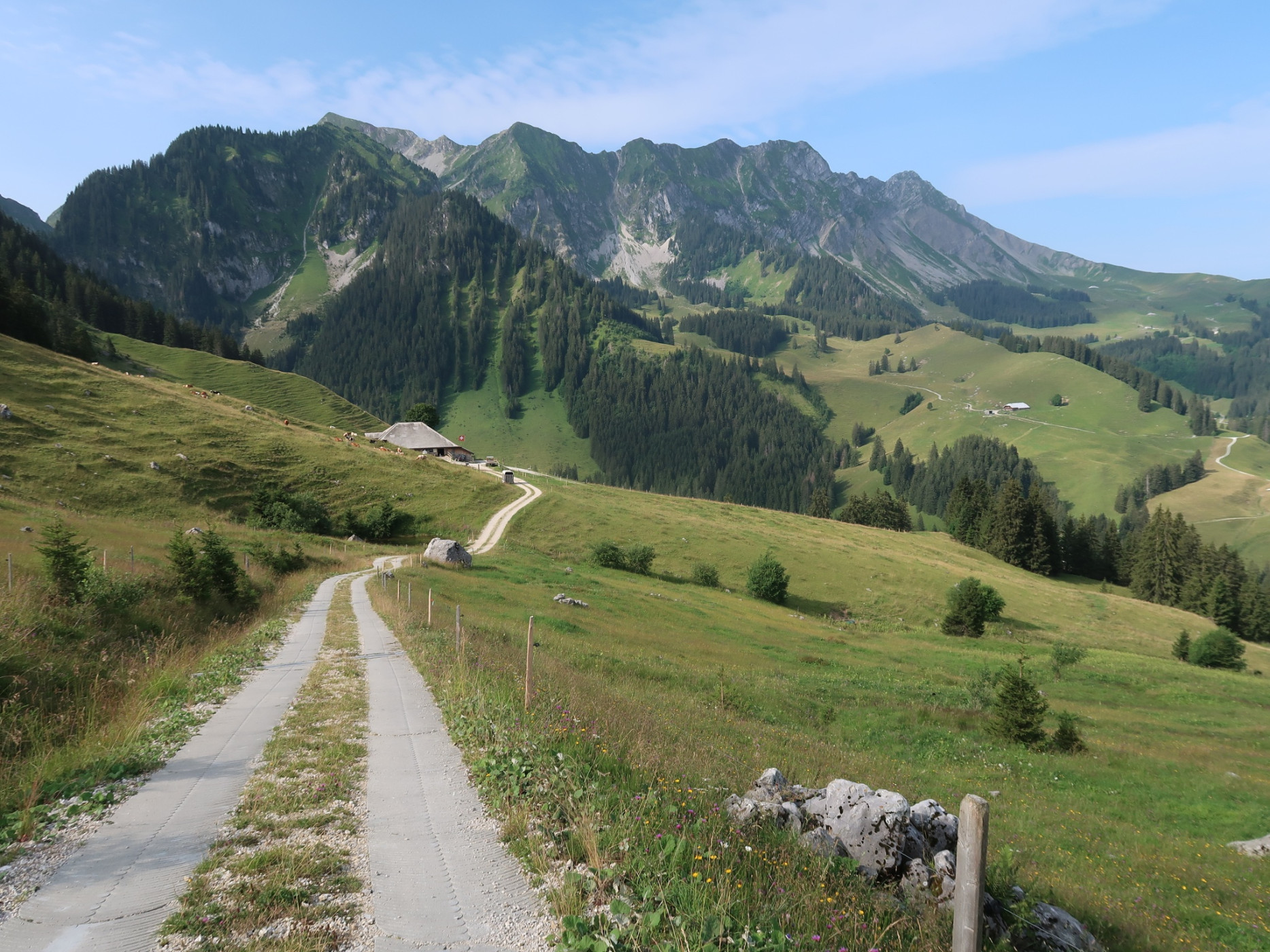
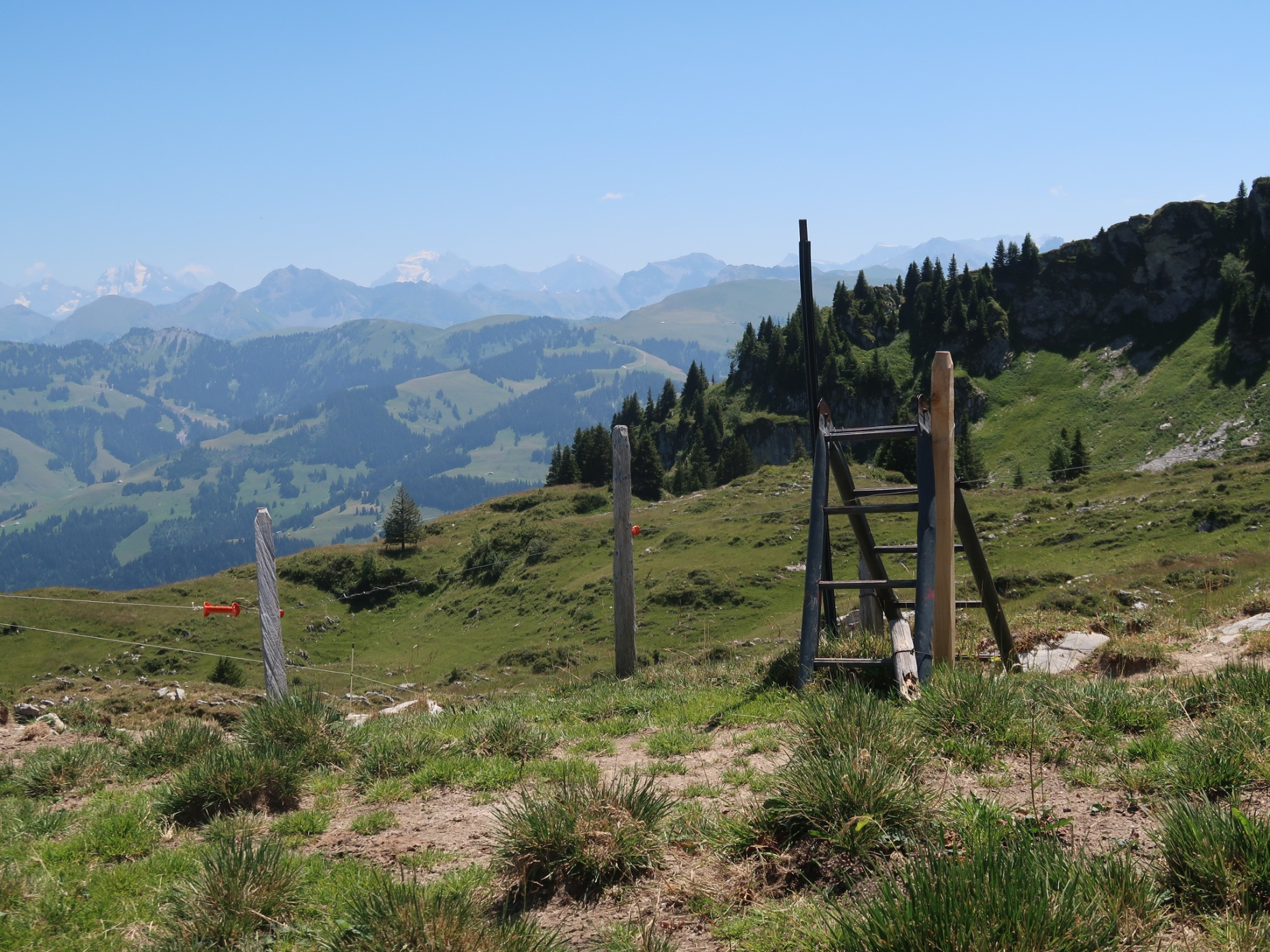
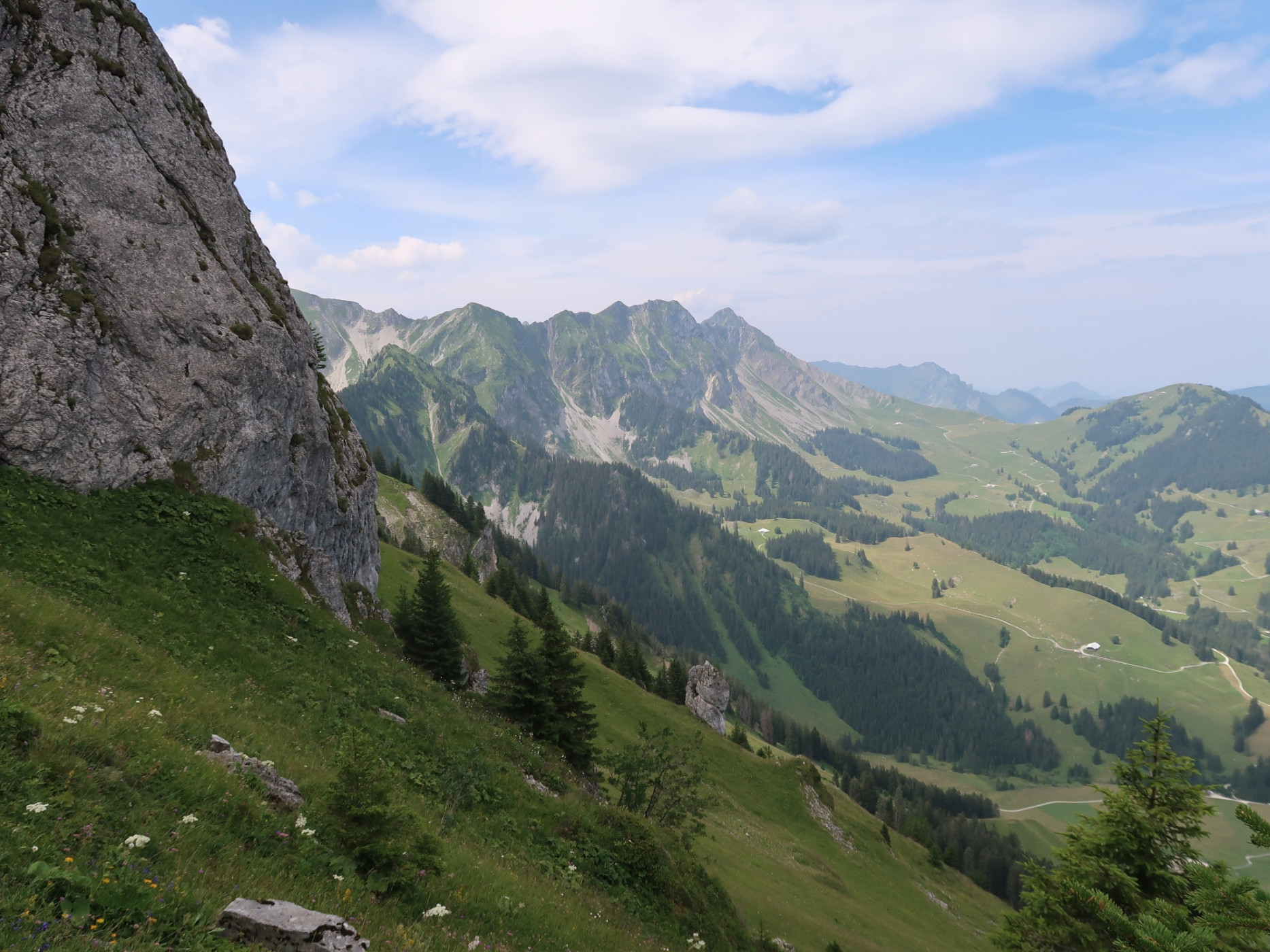
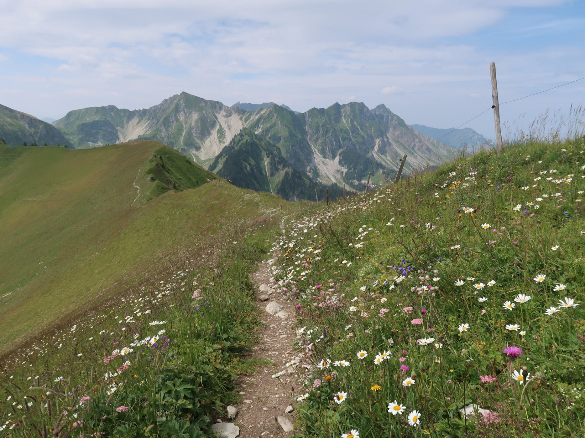
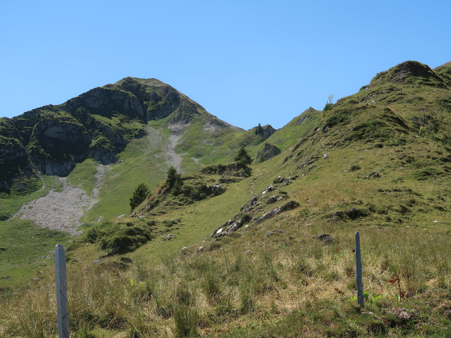
Naturpark Gantrisch - Passing traditional alp farms before ascending high. The hike offers great views of the mountain landscape in good weather.
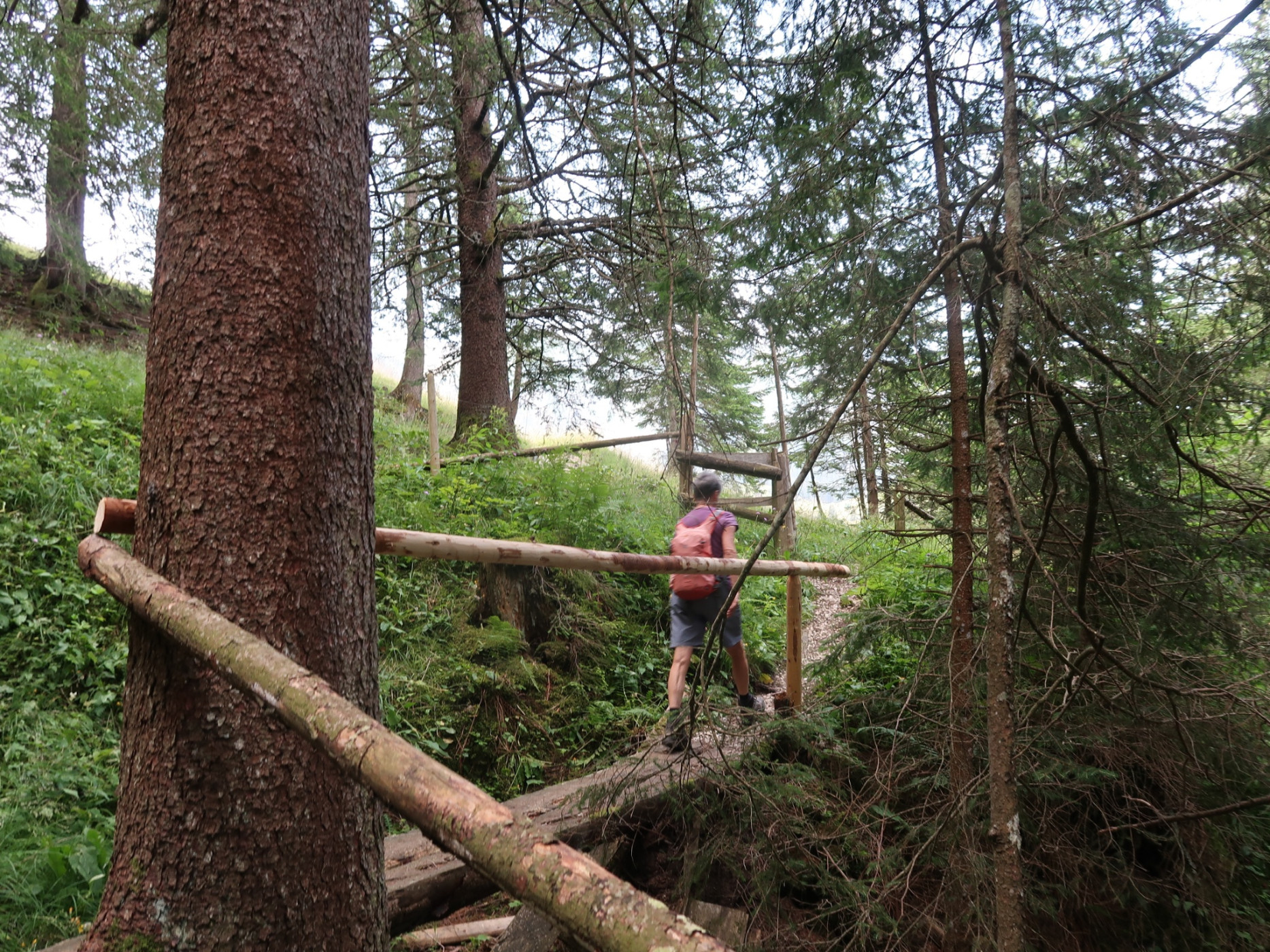
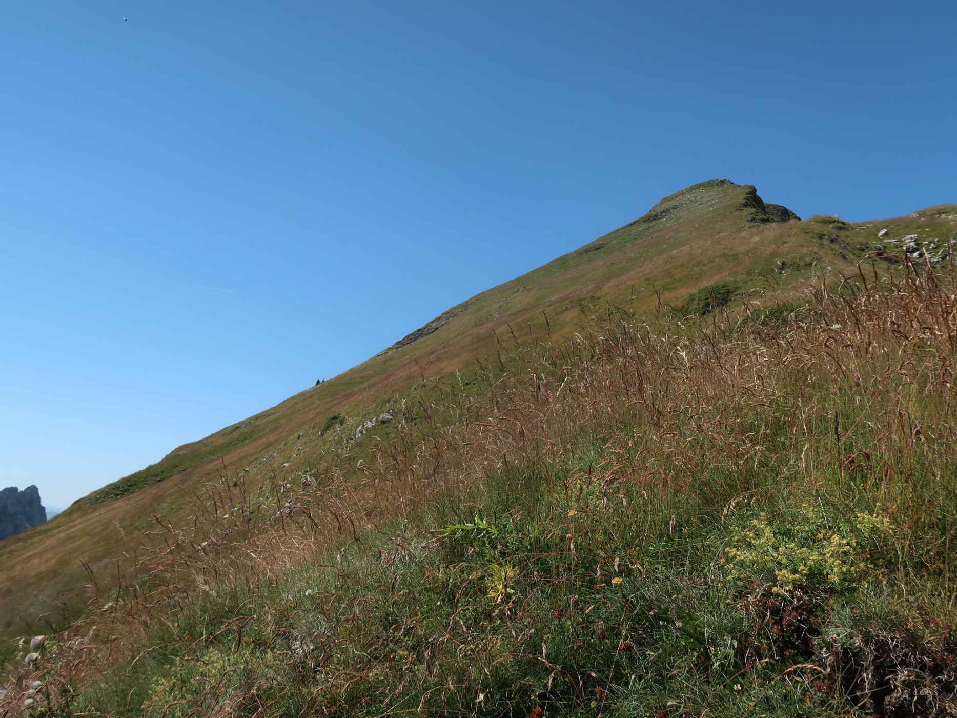
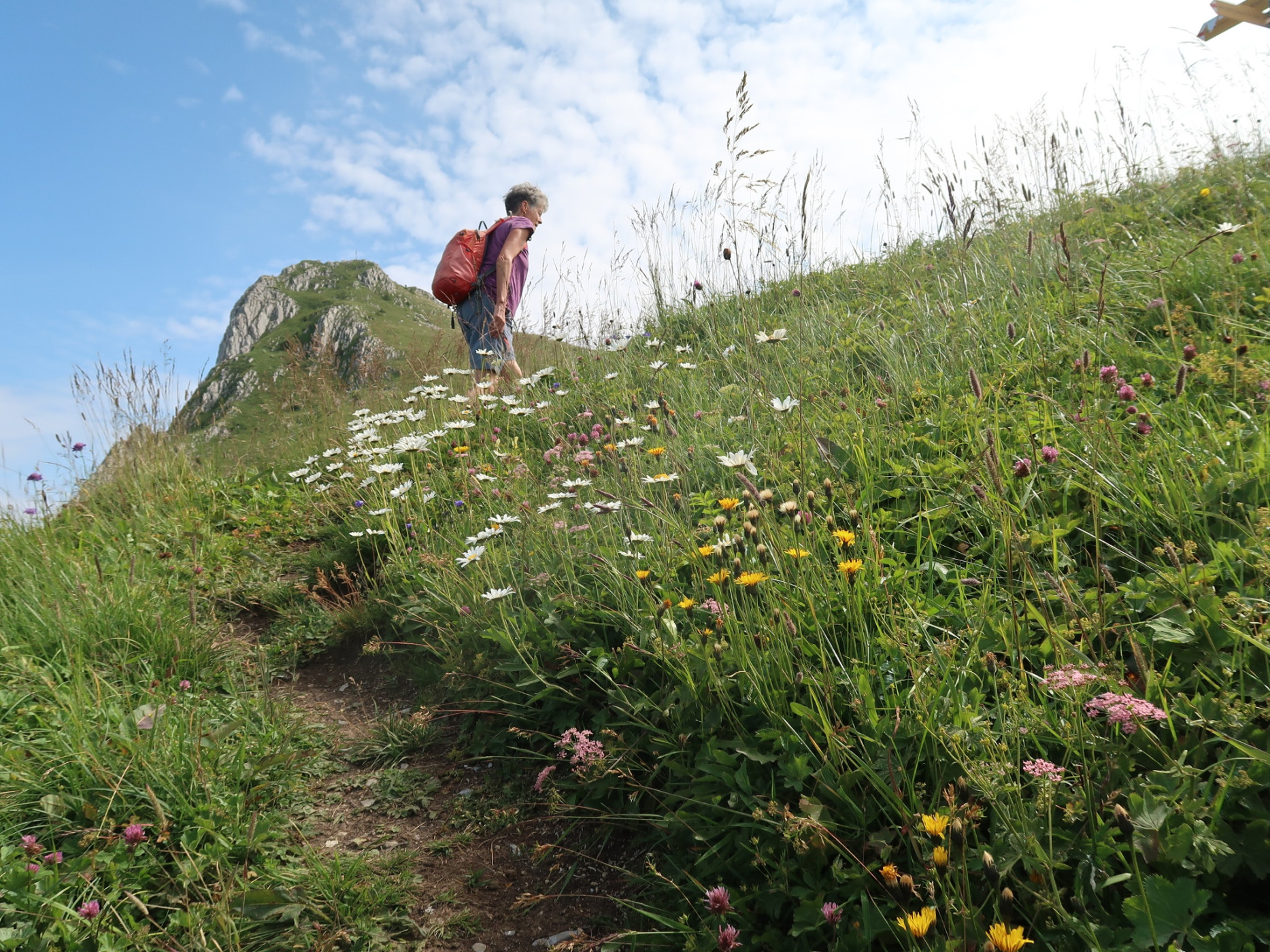
The starting point of the hike is at the Muhrenstöck car park. From there, the route leads along an alpine road over the Hundsbühl alp, through steep mountain forest and on a narrow path to the Ober Spittelgantrisch alp. From now on, one comfortably follows the alpine road up to the Eggers Wannels alp, which then turns into a narrow mountain trail. From the southwest ridge, where the view opens towards the Oberländer mountains, you reach the summit of the Märe with its prominent summit cross. The descent now follows a circular route along the ridge to the Chänelpass and from there down to the Chänel Gantisch. On the alpine road, you reach the starting point again. A detour to the cheese alp and the Gantrischli mountain inn is worthwhile.
Route-information
Route-information
- Length
- 12.46 km
- Altitude difference ascent
- 982 m
- Altitude difference descent
- 981 m
- Time required
- 5 hours 25 minutes
- Level technique
- Easy
- Level condition
- Middle
Details
Route with Swiss Mobility
Equipment / Equipment rent
Weather-appropriate hiking equipment
Arrival
Arrival
- Starting point
- Parkplatz Muhrenstöck
- Destination
- Parkplatz Muhrenstöck
Suitable for
The offer is suitable for
- Adults
- 50+
Season
June, July, August, September, OctoberContact
Naturpark GantrischFörderverein Region Gantrisch
Schlossgasse 13
3150 Schwarzenburg
T +41 (0)31 808 00 20
www.gantrisch.ch