


Old Way of St. James route
Naturpark Gantrisch - The old Way of St. James route is a classic hiking and pilgrimage route in the Gantrisch Nature Park, although it is no longer part of the current Way of St. James route.
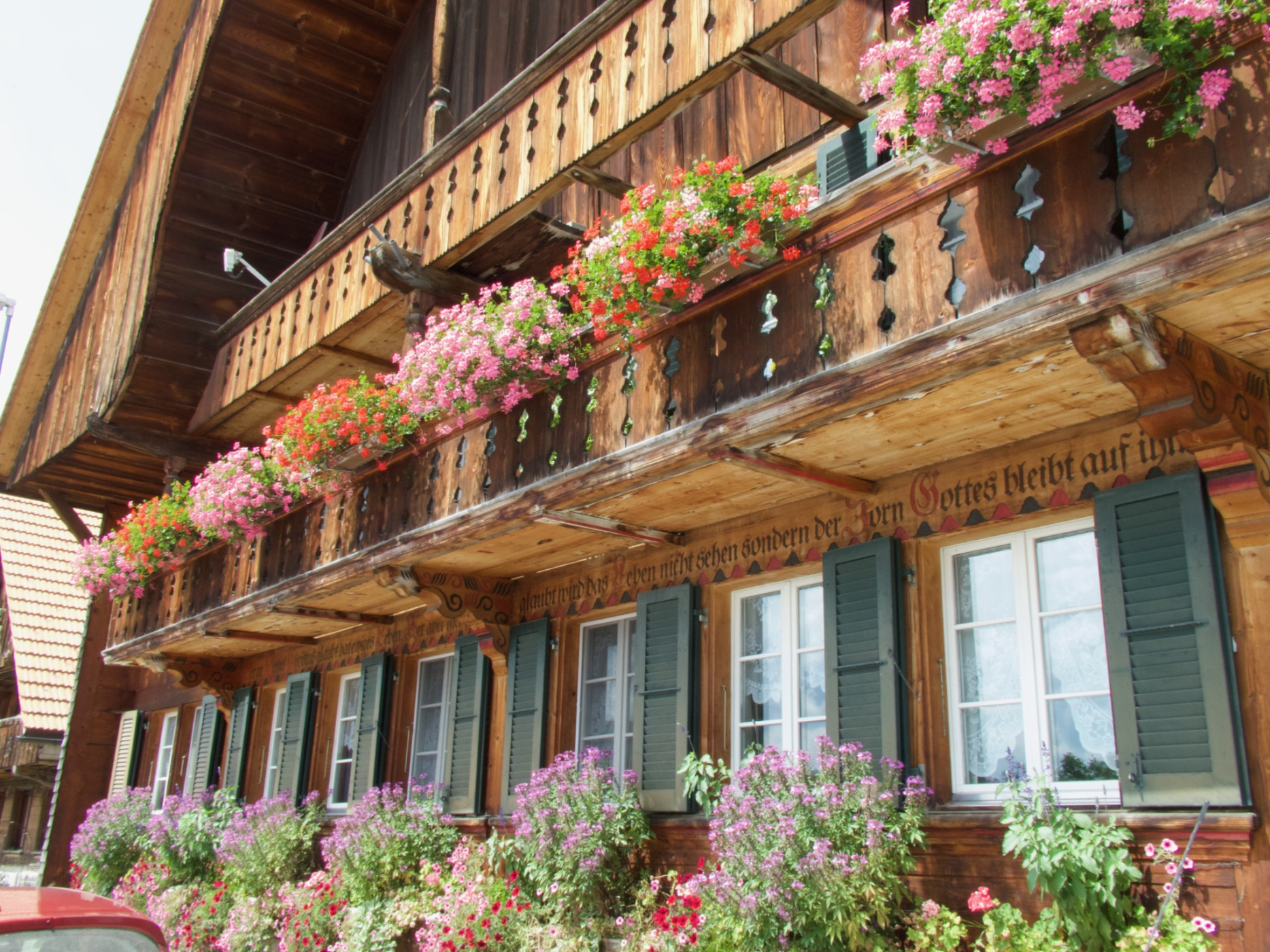
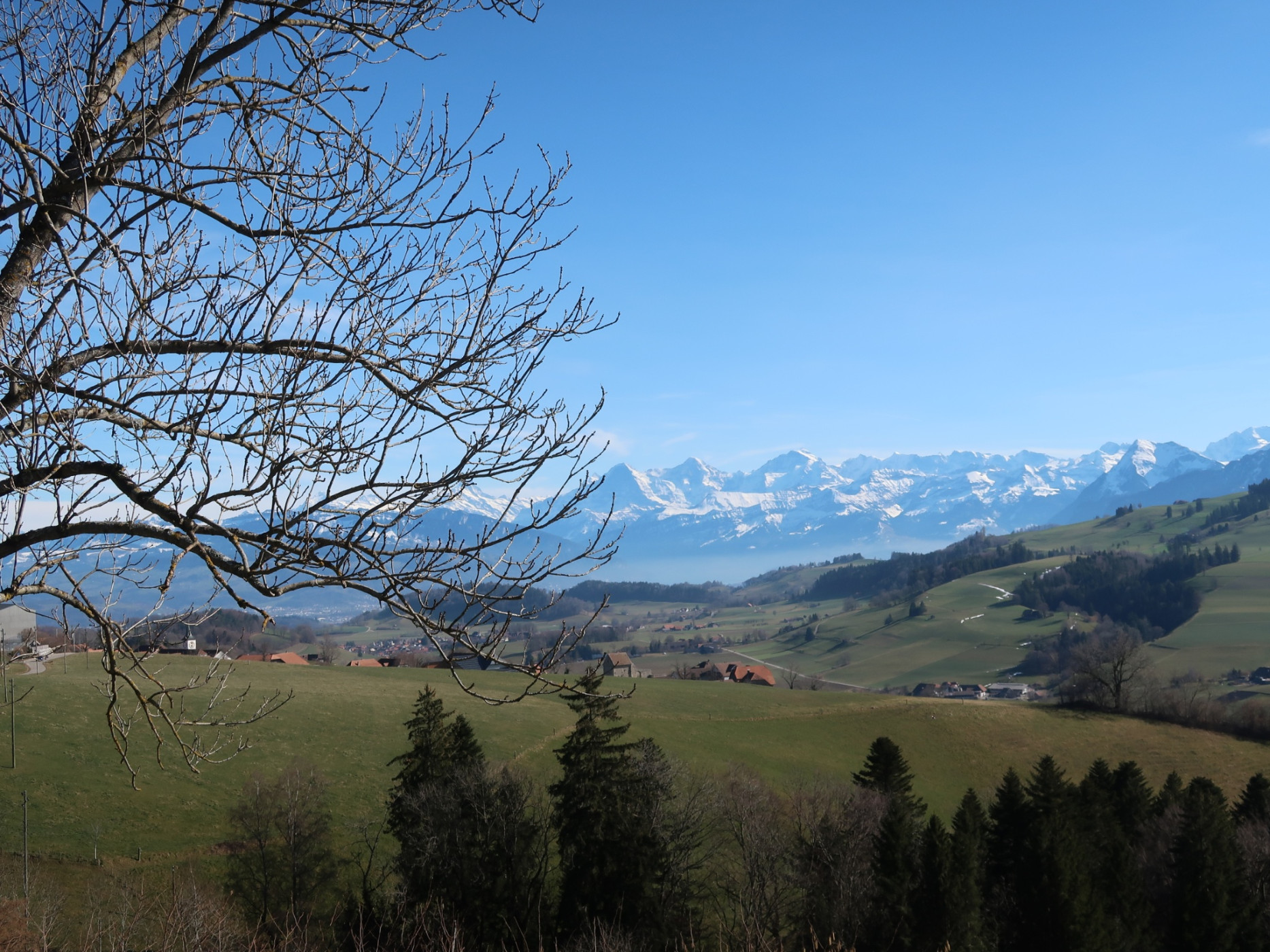
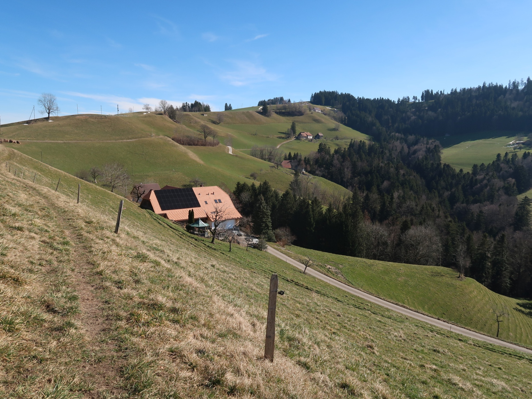
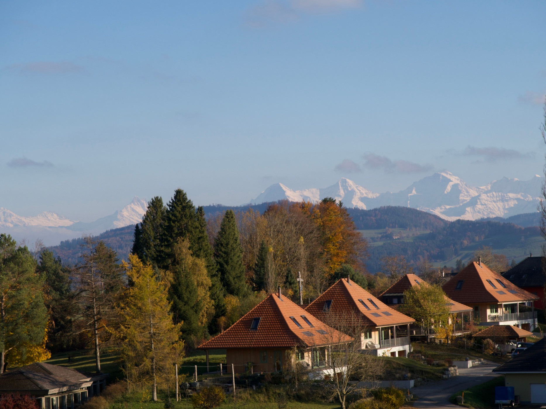
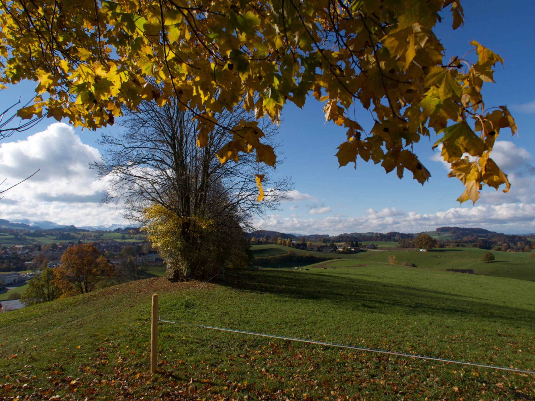
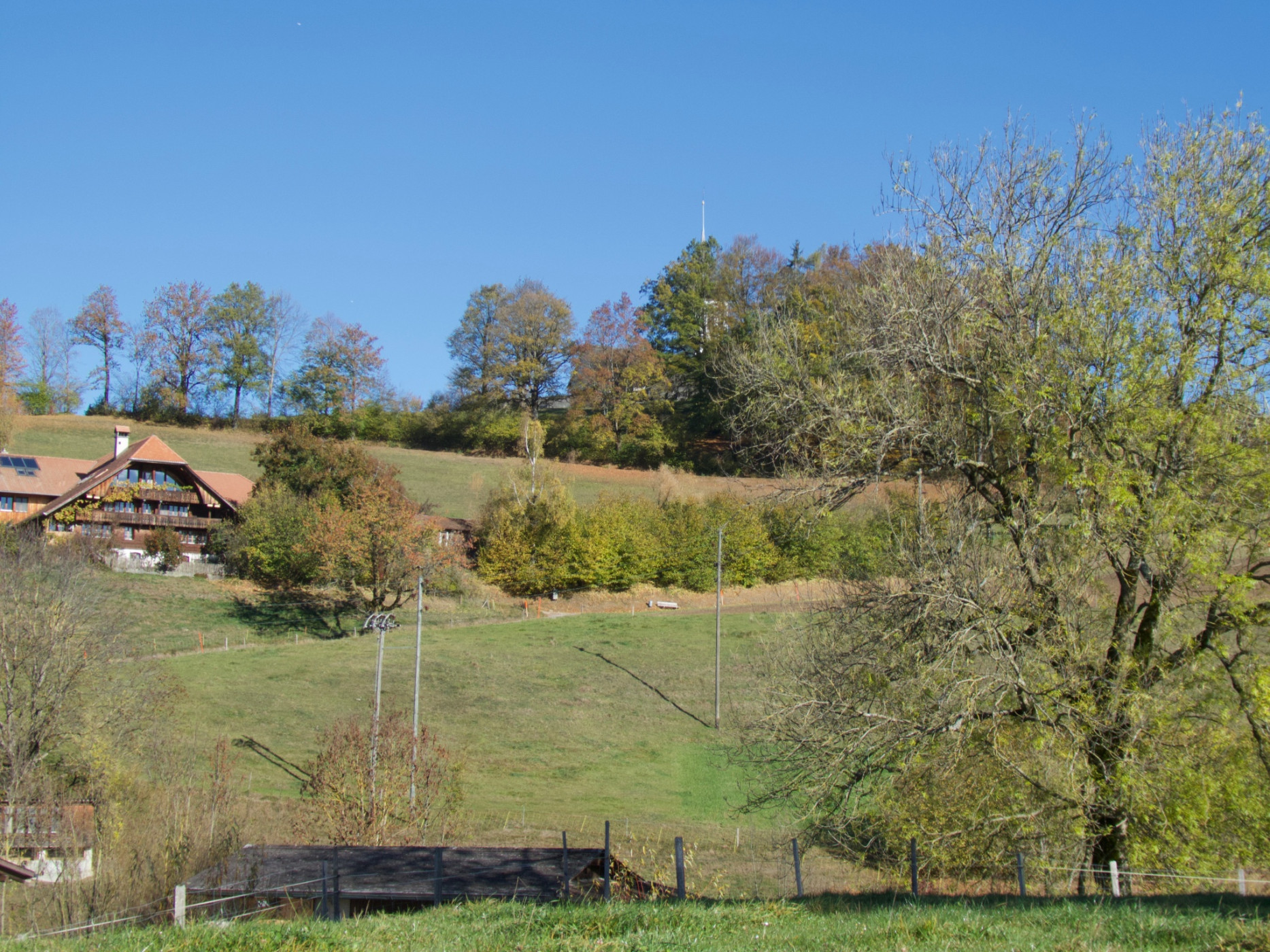
As a variant of the Way of St. James, the path from the Rüeggisberg monastery ruins via Fultigen is recommended. In the Riedstettenwald forest, we branch off from the Pre-Alpine trail and hike through the forest, then over the ridge passing the small hamlets Vorder- and Hinterfultigen towards Steiglen. The large schoolhouses testify to earlier times when large families lived on the remote farms and the population was considerably higher. Time and again, views open from the path onto the Gantrisch range and northwards over the furrowed hills towards Bern.
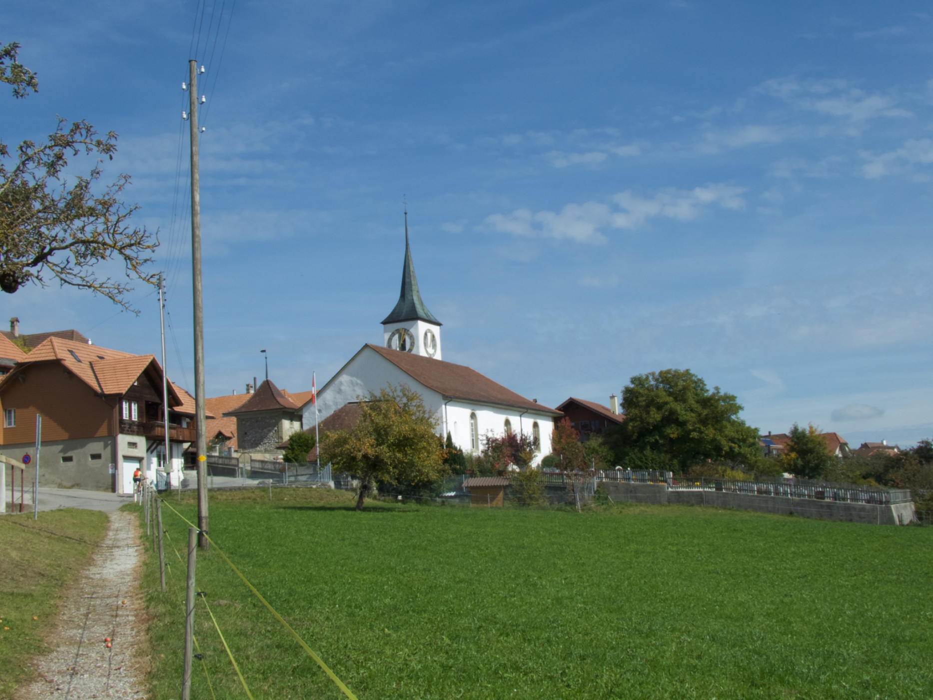
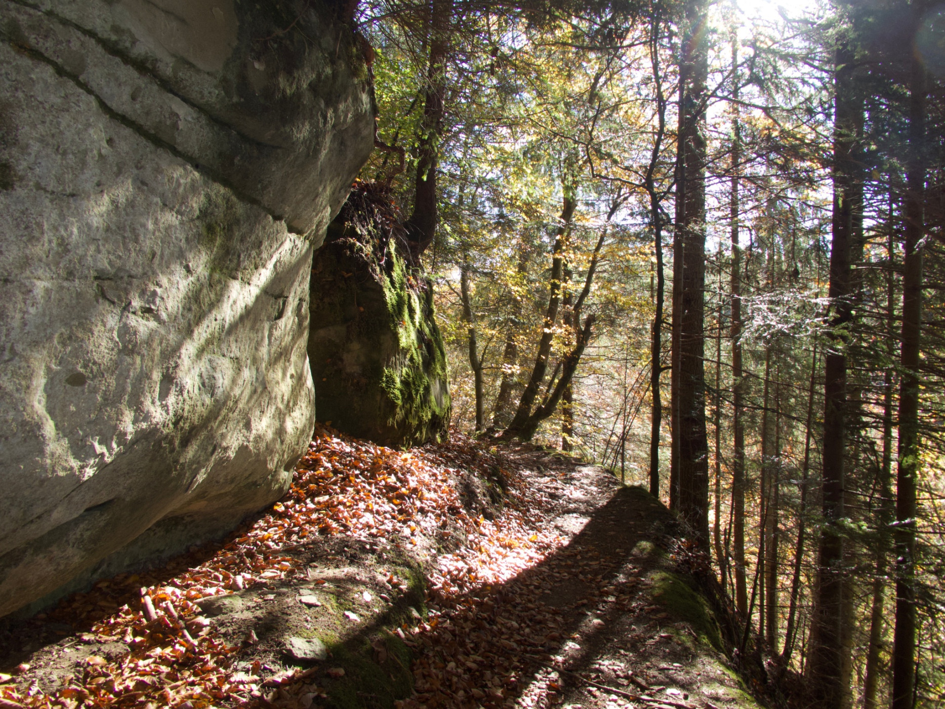
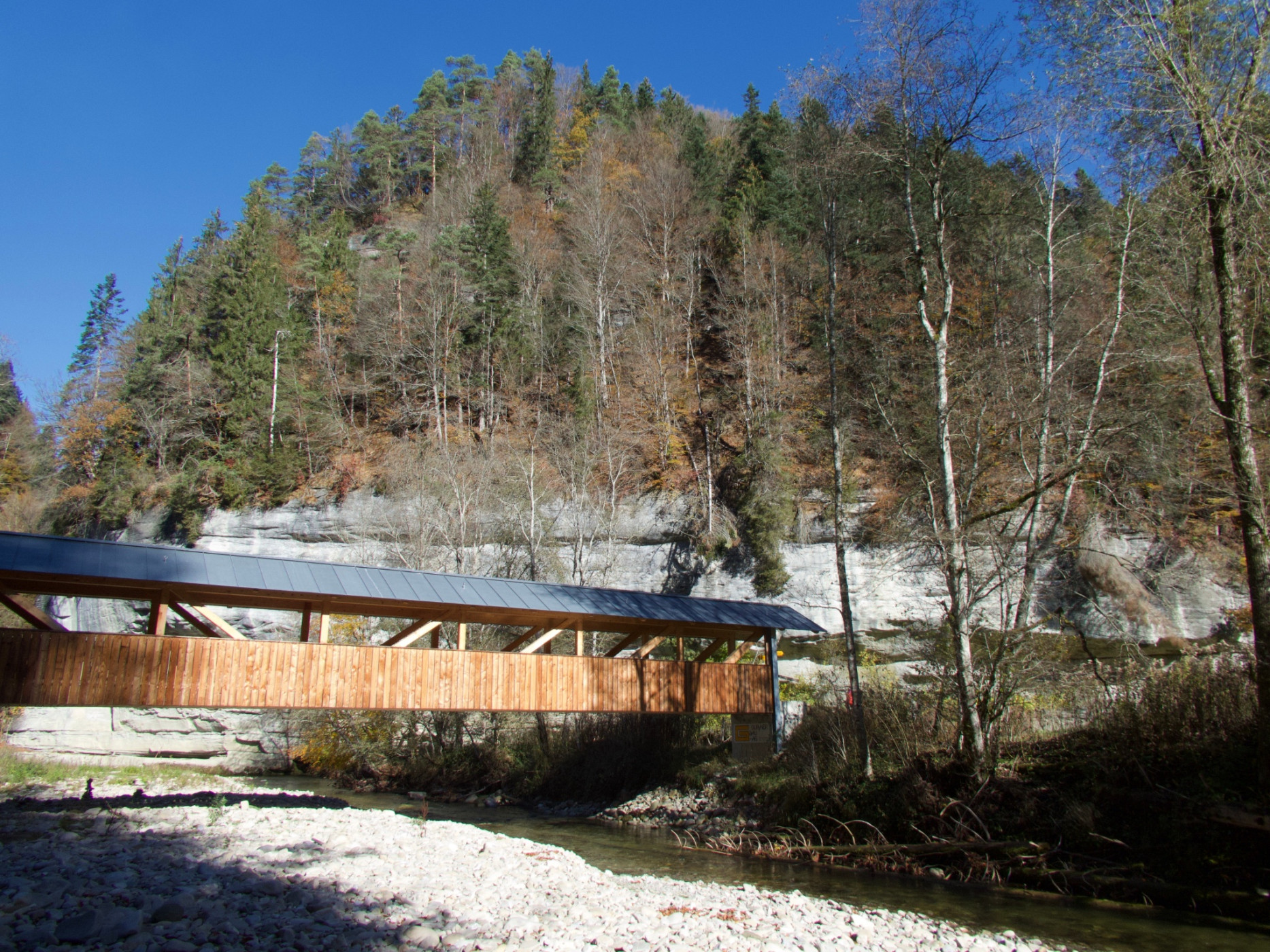
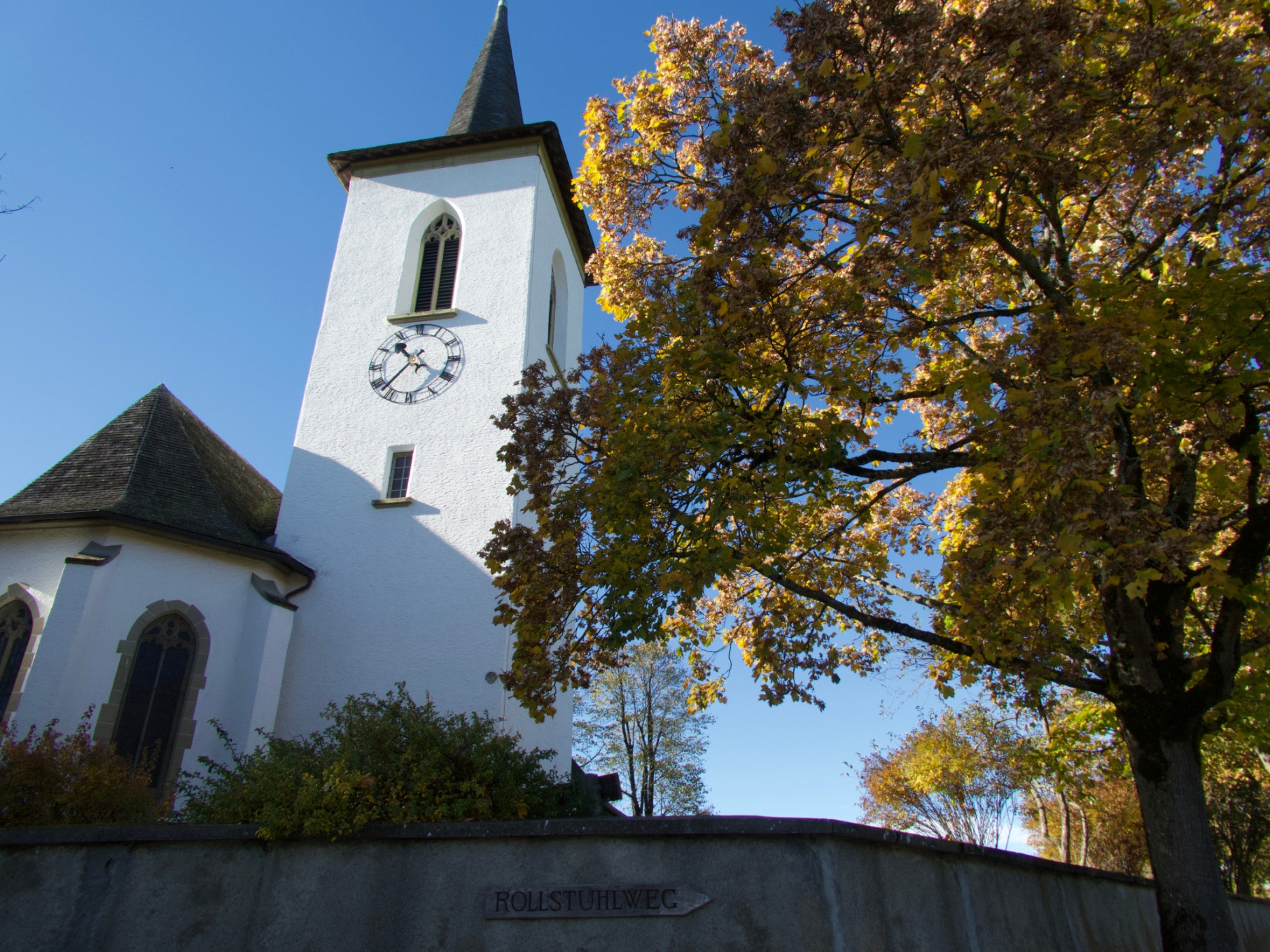
After a steep descent, we cross the new Burgbach bridge over the Schwarzwasser river and then the Dorfbach stream. Just below the bridge, natural bathing pools invite you for a refreshment. The wild river landscape between the steep sandstone cliffs changes its appearance after every flood. Passing the former Buttnigen bath, we reach Buttnigen and the former medieval marketplace Trüllplatz to the Romanesque church of Wahlern on a hill spur. Shortly before, we pass the newly created nature paradise on the edge of the Bannholz forest, where numerous information boards tell interesting facts about the forest edge.
From the church terrace, there is a view westwards towards Freiburg and southwards over the village of Schwarzenburg to the Gantrisch range and towards Guggershorn. The church of Wahlern, conspicuous and visible from far around, gave the current municipality of Schwarzenburg its former name until a few years ago. The hiking path conveniently leads us to the Schwarzenburg train station.
Route-information
Route-information
- Length
- 12.36 km
- Altitude difference ascent
- 296 m
- Altitude difference descent
- 436 m
- Time required
- 3 hours 40 minutes
- Level technique
- Easy
- Level condition
- Middle
Details
Equipment / Equipment rent
Normal hiking equipment
Arrival
Arrival
- Starting point
- Rüeggisberg, Post
- Destination
- Bahnhof Schwarzenburg
Suitable for
The offer is suitable for
- Adults
- 50+
- Families
- Groups
Season
March, April, Mai, June, July, August, September, OctoberContact
Naturpark GantrischFörderverein Region Gantrisch
Schlossgasse 13
3150 Schwarzenburg
T +41 (0)31 808 00 20
www.gantrisch.ch