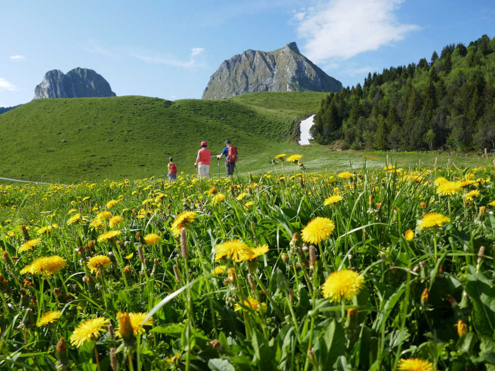
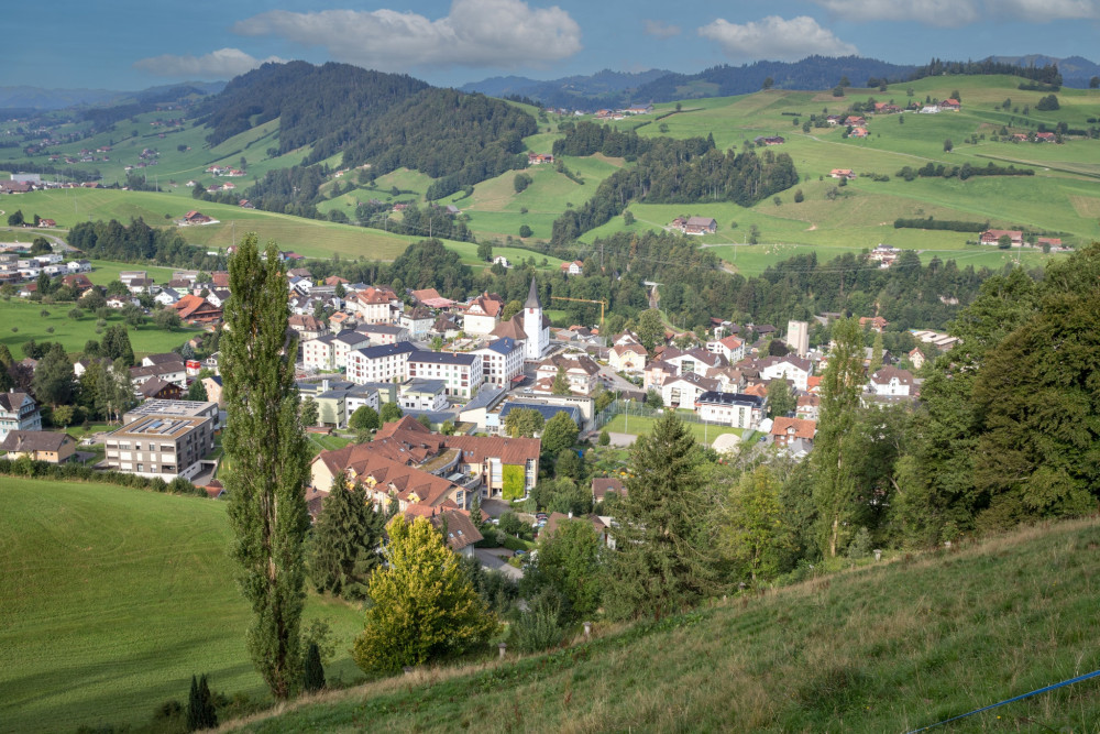
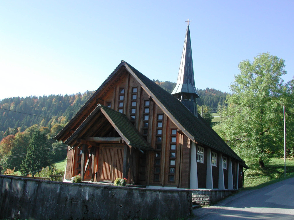
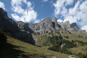
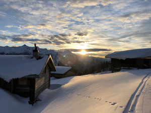
UNESCO Biosphäre Entlebuch
Circular hike Gfellen-Schimbrig
Enjoy a varied hike around the Schimbrig. Those who take on the steep ascent, which requires surefootedness and concentration, will be rewarded at the summit with a great view of the Entlebuch mountains, the Pilatus including Lake Lucerne, and the Bernese Alps.
Hiking trail
Time required: 5 hours 20 minutesLength: 14.42km
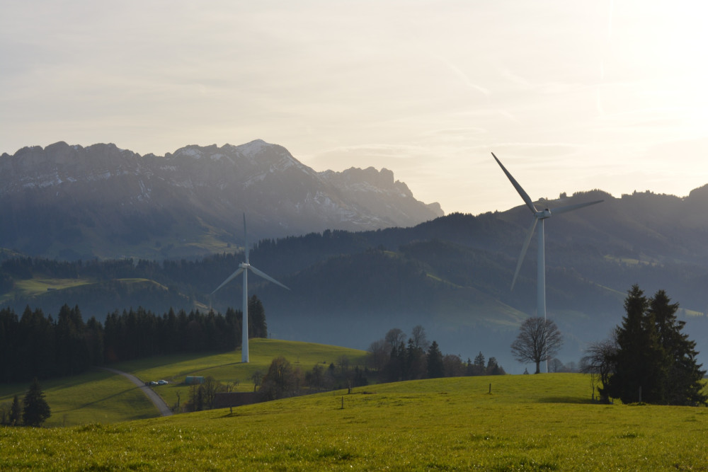
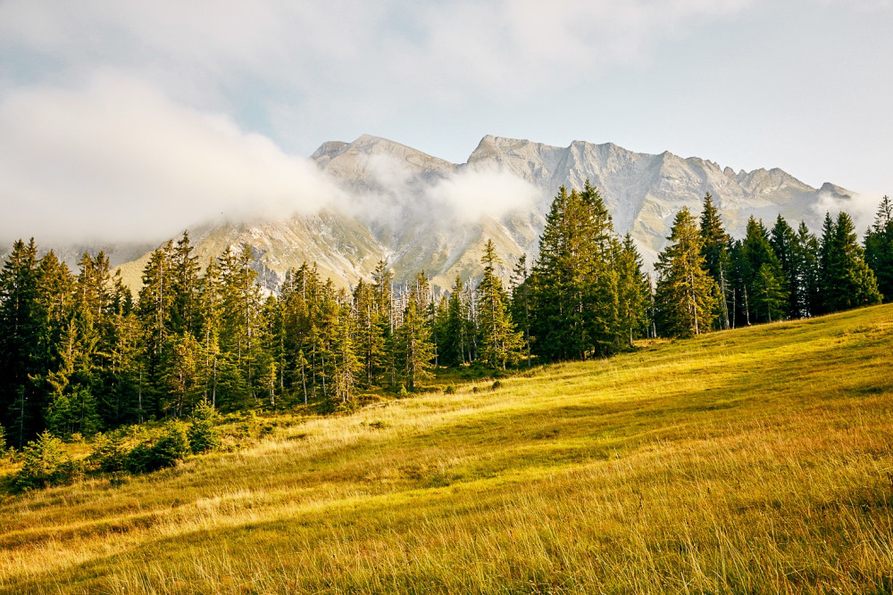
Naturpark Gantrisch
Circular hike Gürbequelle
Varied circular route from Wasserscheide: across alpine pastures, through larch forests, past impressive rock walls, with a wide view of Lake Thun.
Hiking trail
Time required: 2 hours 25 minutesLength: 8.26km
UNESCO Biosphäre Entlebuch
Circular hike Heiligkreuz-Farnere-First
Scenic circular hike with a place to stop at First.
Hiking trail
Time required: 2 hours 45 minutesLength: 7.76km
UNESCO Biosphäre Entlebuch
Circular hike in the Ebnet area
On this circular hike, two historical routes and impressive views await those looking for a walk away from the big (hiking) crowd.
Hiking trail
Time required: 3 hours 10 minutesLength: 11.19km
UNESCO Biosphäre Entlebuch
Circular hike through the exclave Dieplischwand
Three municipalities in one go.
Hiking trail
Time required: 2 hours 35 minutesLength: 8.83km
UNESCO Biosphäre Entlebuch
Circular hiking route Luegisland - Lustenberg
Hill with guaranteed lots of views.
Hiking trail
Time required: 1 hour 15 minutesLength: 3.86km
UNESCO Biosphäre Entlebuch
Circular route Alpiliegg and Wissenegg
The circular hike is shaped by various unique moors.
Hiking trail
Time required: 2 hours 45 minutesLength: 9.25km
UNESCO Biosphäre Entlebuch
Circular route around Schwändi near Entlebuch
Cool forest in hot summer weather.
Hiking trail
Time required: 55 minutesLength: 2.06km
UNESCO Biosphäre Entlebuch
Circular route Entlebuch – Rengg – Ebnet
Varied circular hiking route through the municipality of Entlebuch.
Hiking trail
Time required: 3 hours 50 minutesLength: 12.33km
UNESCO Biosphäre Entlebuch
Circular route Escholzmatt – Turner
This circular hike to the Turner and Bock offers you a fantastic panoramic view.
Hiking trail
Time required: 3 hours 30 minutesLength: 10.81km
UNESCO Biosphäre Entlebuch
Circular route in the Rotmoos area
Three times Haselegg in the field of view.
Hiking trail
Time required: 50 minutesLength: 2.95km
UNESCO Biosphäre Entlebuch
Circular route Rossweid - Blattenegg
Short hike around the Hundschnubel.
Hiking trail
Time required: 1 hour 41 minutesLength: 5.27km
UNESCO Biosphäre Entlebuch
Circular route to the Kneipp facility in Flühli
Open
The Kneipp facility at Schwandalpweiher is a true natural oasis and lets you completely "reset" while enjoying nature wellness.
Hiking trail
Time required: 1 hour 13 minutesLength: 4.25km
UNESCO Biosphäre Entlebuch
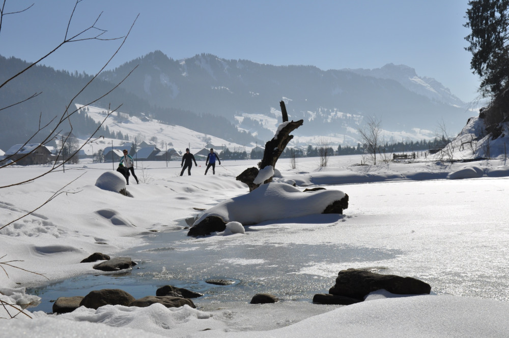
Circular Trail Camping-Marbach
Closed
Beautiful circular cross-country trail along the Schonbach towards Marbach and back.
Trail report Bergfex
Cross-country ski route
Time required: 1 hour 17 minutesLength: 6.05km
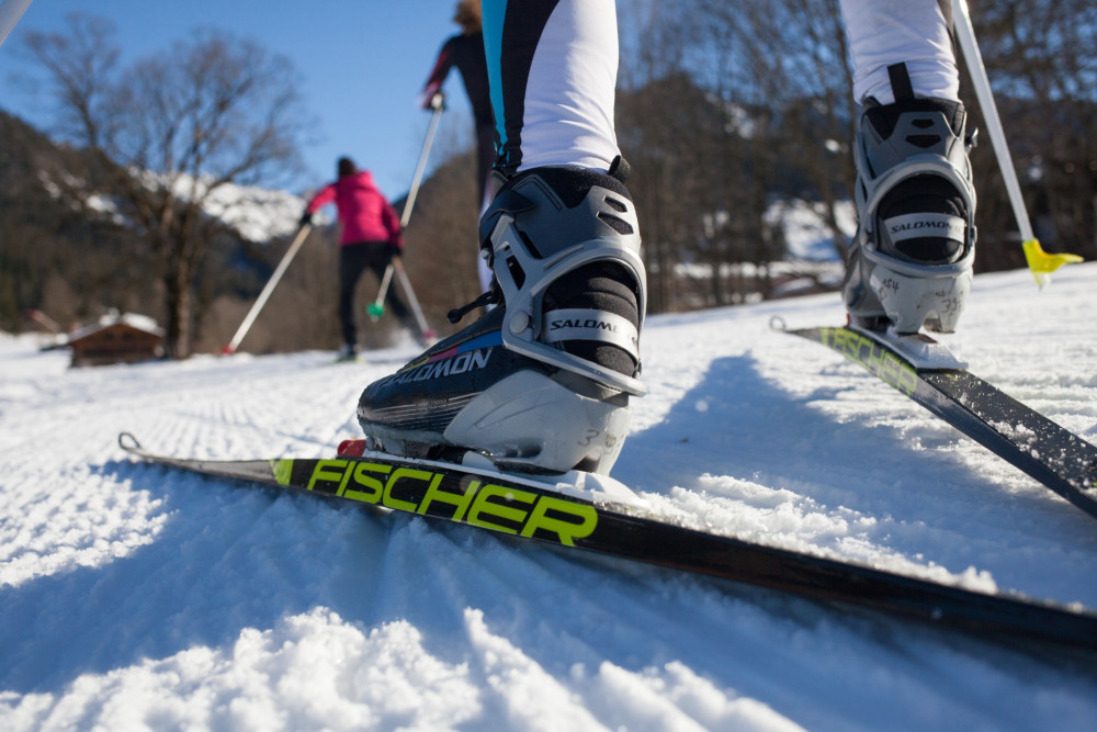
UNESCO Biosphäre Entlebuch
Circular trail Escholzmatt-Ebnet
Closed
Cozy circular cross-country ski route with a magnificent view of the Beichlen.
Cross-country skiing report Bergfex
Cross-country ski route
Time required: 37 minutesLength: 2.46km
Naturpark Pfyn-Finges
Circular walk Flüealp
This wonderful circular hike lasts about 4:30 and leads to the alpine pastures around Leukerbad. The paths are well developed so that the hike is suitable for a wide public.
Hiking trail
Time required: 4 hours 30 minutesLength: 12.50km
Landschaftspark Binntal
Civil defence shelter in Binn
The shelter is located at the approach to the idyllic mountain village of Binn.
Group accommodation
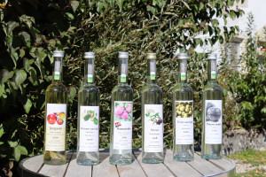
Parc du Doubs
Claude Schaffter et ses eaux-de-vie
Amoureux de son coin de pays, Claude Schaffter produit des eaux-de-vie typiquement jurassiennes depuis 1983. En véritable passionné, il propose toute une gamme de « gouttes » mettant en valeur le terroir jurassien.
Producer
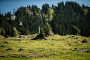
UNESCO Biosphäre Entlebuch
Clientis Flowtrail Marbachegg
Open
Ideally integrated into the terrain, the flowtrail leads from Marbachegg to Marbach. The varied route is equipped with many playful elements.
Mountainbike trail
Time required: 25 minutesLength: 3.92km
Hint
Regionaler Naturpark Schaffhausen
Clientis-Randenbus
The Clientis-Randenbus is a public transport service for the last mile and runs in good weather on Sundays and public holidays from Hemmental into the middle of the Randen excursion and hiking area.
Mobility
Naturpark Gantrisch
Clubhaus Skiclub Christiania
Das Clubhaus liegt mitten in der idyllischen Natur auf rund 1600 M.ü.M in unmittelbarer Nähe vom Gäggersteg.
Group accommodation
Naturpark Pfyn-Finges
Clubhütte Skiclub Jeizinen
Clubhütte Skiclub Jeizinen
Group accommodation
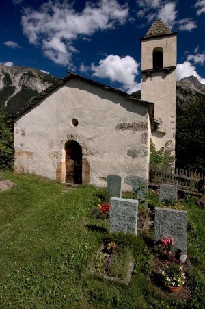
Naturpark Beverin
Clugin church
Following extensive restoration, the church in Clugin shines in new splendour. In no other church in the Schams region has the medieval decoration be so well-preserved as that in Clugin.
Church
Parc naturel régional Gruyère Pays-d'Enhaut
Col de Jaman
Despite the route's dangers and sometimes questionable condition, this path had two big advantages: it was the shortest route between the Pays-d’Enhaut, the Gruyères, and Léman (Lake Geneva), and it was passable almost year-round. It was also an important gateway for the inhabitants of the high valleys who couldn’t live in complete autarky. In the 19th century, however, the route’s roll changed. Tourists in awe of the panorama (and the echo off the Dent de Jaman) replaced cheese-makers little by little. Tour guides of the time often cited Lord Byron: “This view is as beautiful as a dream!”
The pass, impassable by car and still closed to automobile traffic today, can be crossed (other than by foot) thanks to a tunnel built on the MOB (Montreux-Oberland bernois) railway line in 1904. This line remains the main public transportation axis between the Pays-dEnhaut, the Intyamon, and the Lake Geneva region.
Natural monument
Parc naturel régional Gruyère Pays-d'Enhaut
Col des Mosses – Château-d'Œx
Marshy sites and authentic villages.
Hiking trail
Time required: 4 hours 10 minutesLength: 15.20km
Parc naturel régional Gruyère Pays-d'Enhaut
Col des Mosses – La Lécherette
A legacy of the last ice ages.
Hiking trail
Time required: 3 hours 30 minutesLength: 9.80km
Parc naturel régional Jura vaudois
Col du Marchairuz - Le Brassus
Entdecken Sie die Naturlandschaft im Gebiet der Sèche de Gimel bevor Sie vom Gebirgspass Col du Marchairuz aus Ihren Abstieg nach Le Brassus fortsetzen. Entdecken Sie unterwegs die Wytweiden, und Trockensteinmauern der Grande Rolat und der Meylande.
Hiking trail
Time required: 2 hoursLength: 8.00km
Parc naturel régional Jura vaudois
Col du Marchairuz - Saint-Cergue
Ausgehend vom Gebirgspass Col du Marchairuz folgt die Route entlang des Jura-Höhenwegs bis zum Crêt de la Neuve, von wo aus man eine wunderschöne Aussicht auf den Genfersee geniessen kann. Der Weg verläuft dann oberhalb Arzier nach Saint-Cergue.
Hiking trail
Time required: 4 hours 30 minutesLength: 17.00km
Parc naturel régional Jura vaudois
Col du Marchairuz - Saint-George
Ab dem Gebirgspass Col du Marchairuz führt der Weg am Pré de Rolle vorbei, bevor er in den Wald hineinführt. Nicht zu verpassen ist der Rocher l’Eau Pendante mit seiner nie versiegenden Quelle auf dem Weg nach Saint-George.
Hiking trail
Time required: 1 hour 45 minutesLength: 7.00km
Parc naturel régional Jura vaudois
Col du Marchairuz – Aubonne
Diese Wanderung führt von den Jurahöhen bergab bis zu den Weinbergen des Genfersees, vom Gebirgspass Col du Marchairuz über die charmanten Dörfer Bière und Saint-Livres bis nach Aubonne.
Hiking trail
Time required: 4 hours 30 minutesLength: 20.00km