UNESCO Biosphäre Entlebuch
Marbachegg - Bumbach - Marbach
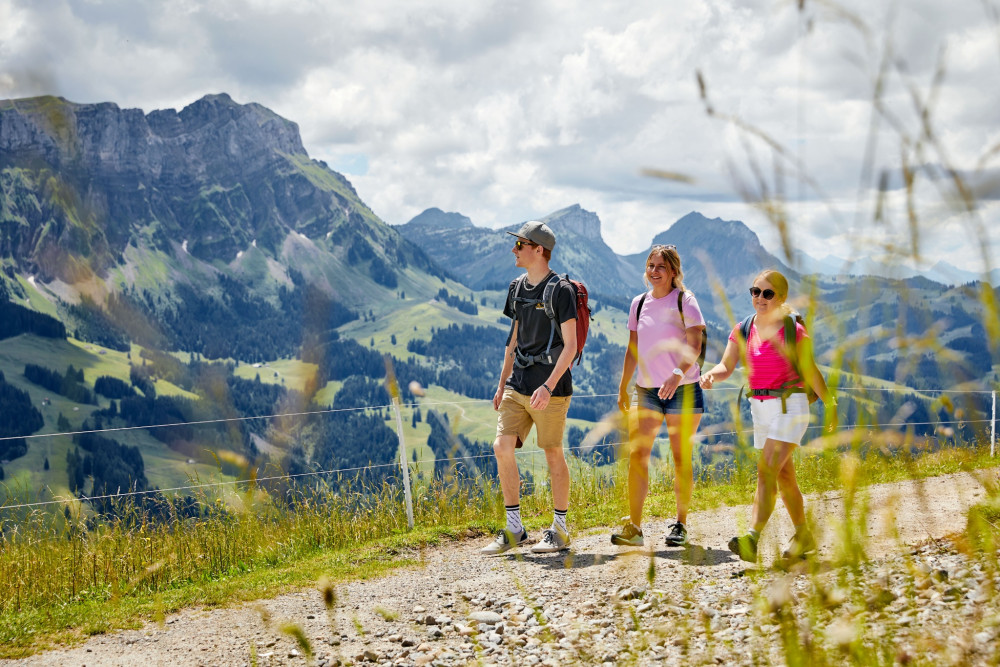
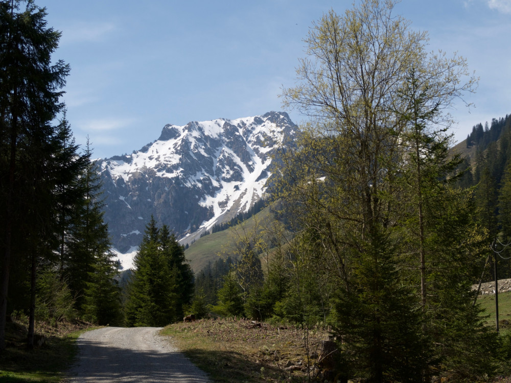
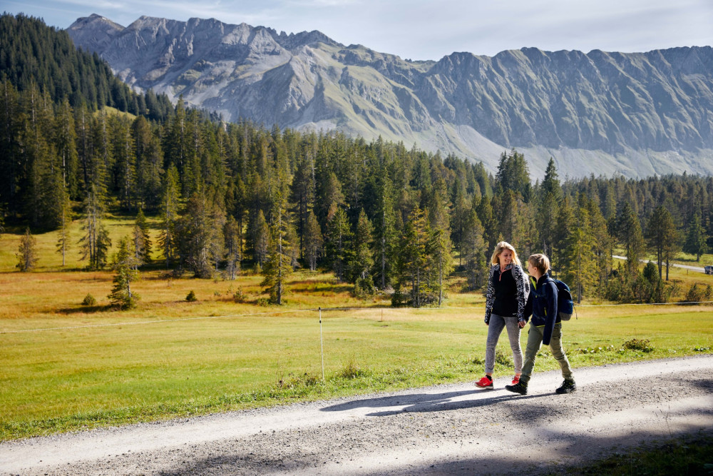
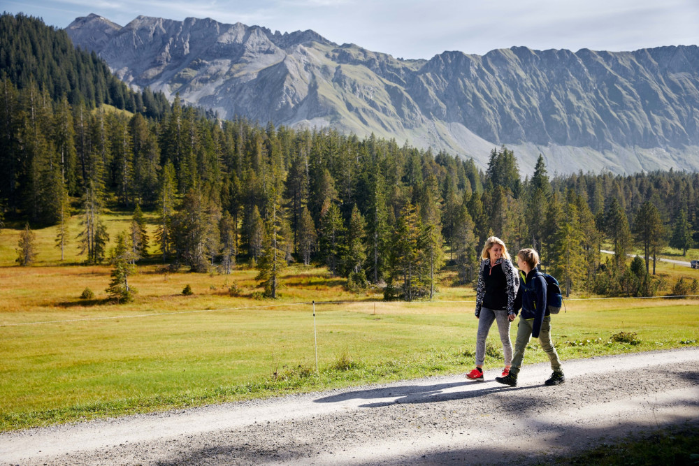
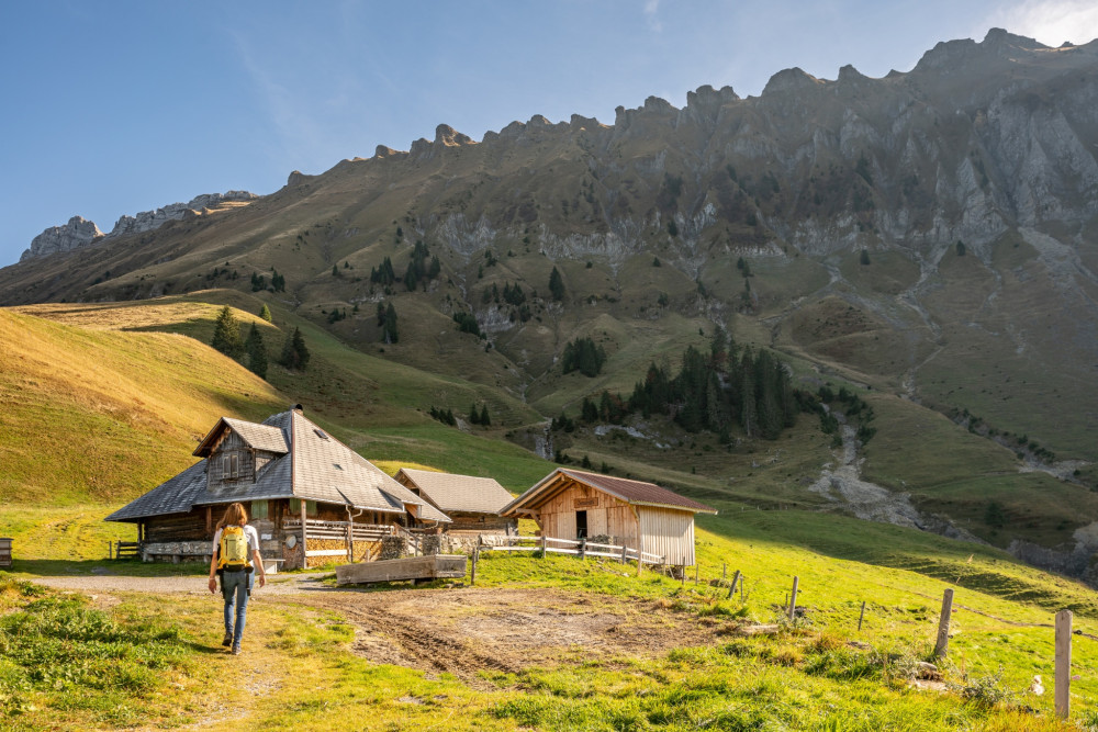
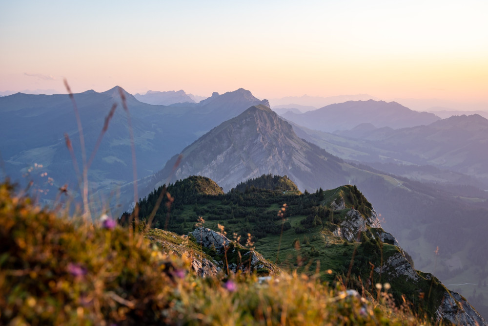
Hike with phenomenal views of the Schrattenfluh, the Hohgant, and the Bernese Alps.
Hiking trail
Time required: 4 hoursLength: 13.97km

Swiss Parks Network
Monbijoustrasse 61
CH-3007 Berne
Tel. +41 (0)31 381 10 71
Mob. +41 (0)76 525 49 44
info@parks.swiss


Hike with phenomenal views of the Schrattenfluh, the Hohgant, and the Bernese Alps.
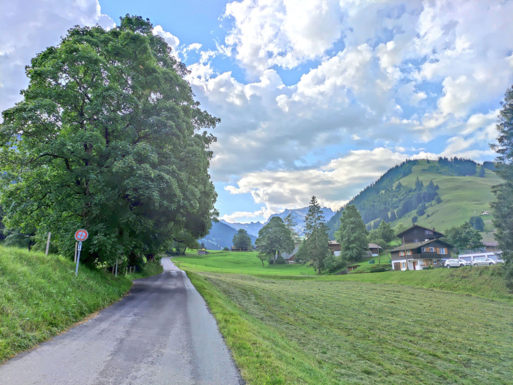
Scenic hike from the sunny terrace Marbachegg over the Hürnli to the village of Marbach.
The scenic panoramic hike with a sweet reward!
A cozy circular route at Marbachegg - ideal after a delicious meal at the mountain inn!
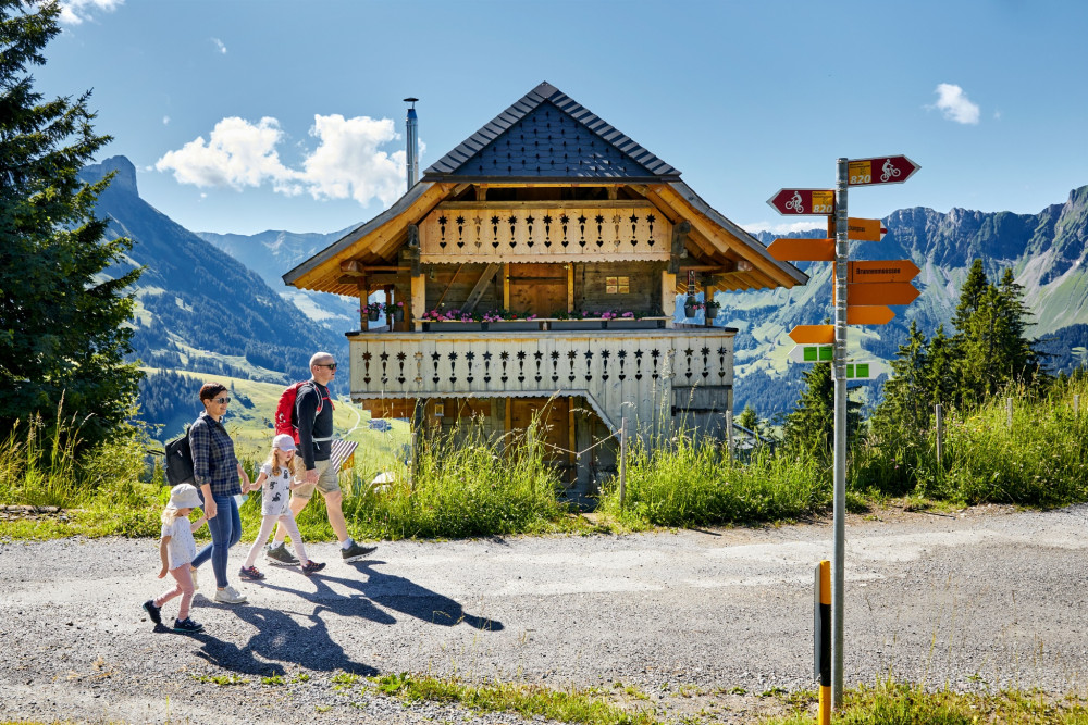
Passing traditional alp farms before ascending high. The hike offers great views of the mountain landscape in good weather.
Du versant bernois au versant fribourgeois des Gastlosen
Between Gruyères and Intyamon
The funicular railway takes us from Sierre to Montana and there we take the bus to Aminona. After a surprise by the Raspille we continue to Cordona. Finally we follow the big water canal as far as Varen.
From Montbovon the trail ascends on the left side of the valley into a pretty little valley. This historical trail leads as far as the Pont du Pontet, one of the oldest bridges in the Canton of Freiburg (17th century).
Walk through the undulating, wooded countryside of the Intyamon, with some wonderful features including a covered bridge, the village of Lessoc and its famous fountain, the waterfall and grotto in Grandvillard.
A journey through a peaceful valley
Hiking through the most beautiful and impressive moorland of the Alpine region.
The first stage of the Moor Landscape Path surprises with sharp contrasts between the angular Schrattenfels and the soft moor soil.
The last stage of the Moor Landscape Path leads you into the Hagleren nature reserve, through paths in wild and primeval landscapes with gorges, rockslide areas and a lake.
On the less well-known side of the Schrattenfluh, the path leads back to Flühli. Along the way, you will even be surprised by a moor at the pass.
Varied day route with a large number of moors and challenging ascents.
The five-day adventure journey "Moorland Landscape Trail" in Entlebuch takes you over springy moor paths, rocky mountain trails, and historic pass routes through the wild, almost untouched natural beauties.
Day hike in a wild landscape with gorges and landslide areas over the Wasserfallenegg.
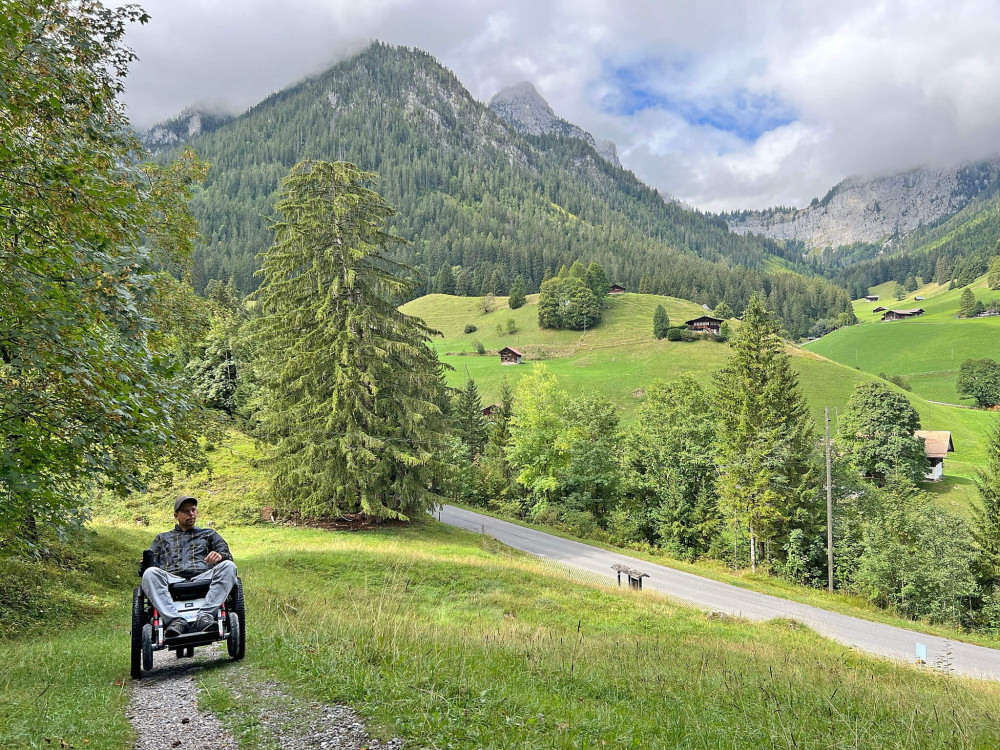
The large Mountain Drive route around Grimmialp is intended for those who have good control of the wheelchair and dare to take a longer route with many natural roads.
The medium Mountain Drive route is suitable for you if you already have some experience with the wheelchair. The route takes you around the Grimmialp to the most beautiful spots.
The short introductory route on the Grimmialp is just the right thing to test the unfamiliar Mountain Drive vehicle and get a feel for driving off-road.
There is no better panoramic view - the Risete mountain range with the Blaue Tosse is the local mountain of the inhabitants of Entlebuch.
Breakfast and shopping in an idyllic setting in Marbach.
Diese Bergwanderung startet in Mühlebach. Wir steigen bergan und bewundern das historische Dorf. Aufstieg auf dem Wanderweg durch den Wald zur Chäserstatt. Abstieg auf sanft absteigenden Weg ins Moos und zurück nach Mühlebach.
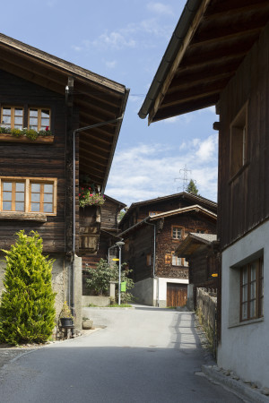
Short circular hike through the idyllic village of Mühlebach
From Mühlebach, you first descend below the road towards Steinhaus. Short sections also need to be covered on the road. Near Steinhaus, a bridge is crossed, and from there, the journey continues to Niederwald.
The hike begins in the village of Mühlebach and first ascends steeply until reaching the water conduit Trusera. The path then follows the water conduit to the Binnachra, and from there descends again to the Wasen.
Via storica d'importanza nazionale che collega Arvigo a Braggio
Via storica d'importanza nazionale che collega Selma a Landarenca
Between the valley and the gorges, the path winds between the road and the engineering structures of the railway line, which regularly disappears into a tunnel.