Naturpark Beverin
Heinzenberg Ridge Hike
Obertschappina - Glaspass - Glasergrat - Lüsch - Bischolpass - Tguma - Präzer Höhi - Präzer Alp - Prau da l'Alp - Saloms - Pranzolas - Prau Sdunon - Präz
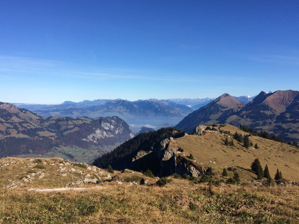
Wunderful view over Safiental on the left side and Domleschg on the right side.
Hiking trail
Time required: 6 hours 30 minutesLength: 18.00km
Jurapark Aargau
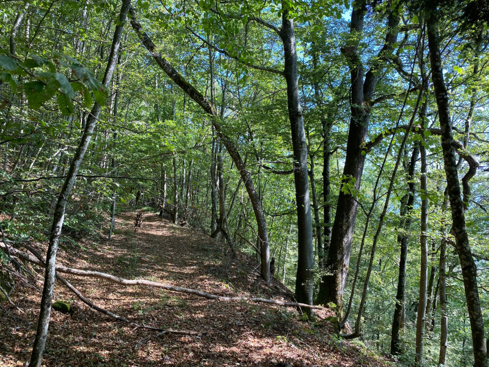
Heuberg forest educational trail
A beautiful circular route in the Laufenburg Forest with information about coniferous trees, deciduous trees, and shrubs.
Theme trailHiking trail
Time required: 37 minutesLength: 2.28km
Naturpark Gantrisch
High-altitude hike Gurnigel - Stockhorn
Between the Gurnigel area and the Simmental, the impressive Gantrisch chain rises, which also includes the distinctive rock summit of the Stockhorn. Along this chain runs the classic high-altitude route Gurnigel-Stockhorn. The views of the Bernese Alpine world, Lake Thun, and the Simmental are unique and breathtaking. As a reward, the magnificent panoramic view from the 2190 m high Stockhorn awaits.
Hiking trail
Time required: 4 hours 15 minutesLength: 11.30km
Jurapark Aargau
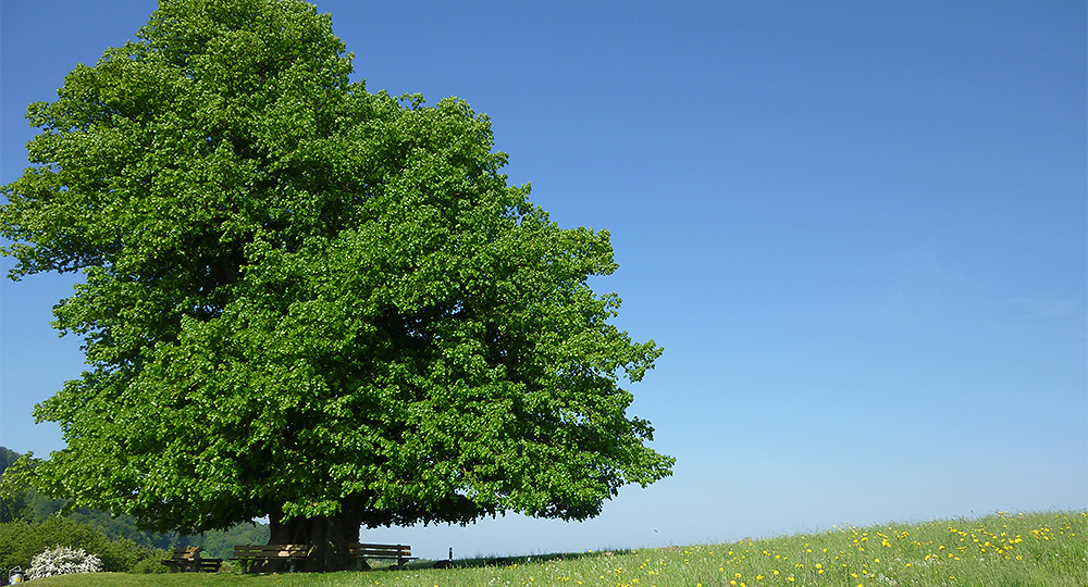
Hike "Linner Linde"
After the ascent to the Linnerberg with its magnificent view of the Alps, the "Linner Linde" hike leads over the Buechmatt to the Schenkenberg Ruins, the largest ruins in Aargau. From there, the route continues along a vineyard slope to the wine village of Thalheim.
Hiking trail
Time required: 2 hours 38 minutesLength: 9.37km
Naturpark Pfyn-Finges
Hike 4 Alps
Jeizinen - Unneri Meiggu - Oberi Meiggu - Heruhubel - Feselalpe - Jeizinen
Hiking trail
Length: 14.00km
UNESCO Biosphäre Entlebuch
Hike Entlen - Castle Chapel
Wild and tame water.
Hiking trail
Time required: 1 hour 30 minutesLength: 4.73km
UNESCO Biosphäre Entlebuch
Hike from Holzwegen via Oberänzi to Romoos
Scenic circular hike in the impressive Napf region.
Hiking trail
Time required: 4 hours 5 minutesLength: 12.43km
Naturpark Diemtigtal
Hike Meienberg-Anger (Zwischenflüh)
Hike from the Simmental to the Diemtigtal, from Alp Meienberg to Anger (Zwischenflüh). A culinary hike into the heart of the Diemtigtal Nature Park.
Hiking trail
Time required: 3 hours 25 minutesLength: 10.80km
Naturpark Diemtigtal
Hike to Meienfallseeli
On this lake hike, not only the destination is worth it: Let yourself be surprised by the diverse panorama along the way and enjoy the fresh mountain air to the fullest.
Hiking trail
Time required: 4 hours 30 minutesLength: 13.77km
Naturpark Gantrisch
Hike Vrenelidorf Guggisberg - Rüschegg
A hike with a beautiful view of the hilly landscape of the Gantrisch Nature Park: from Guggershorn into the Gambach Gorge
Hiking trail
Time required: 3 hours 25 minutesLength: 10.22km
Naturpark Diemtigtal
Hiking Anger (Zwischenflüh)-Turne-Diemtigen
You start at the Viehschauplatz Anger and gain almost 1000 meters in altitude that day. The ascent to Turne is definitely worth it, as the panoramic view is unique.
Hiking trail
Time required: 5 hours 35 minutesLength: 15.20km
UNESCO Biosphäre Entlebuch
Hiking around the Fischebach
Small valley exactly north-south.
Hiking trail
Time required: 2 hours 20 minutesLength: 7.61km
Jurapark Aargau
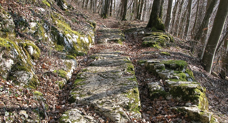
Hiking on the Roman road
Hiking on the old Roman road from Bözberg to Effingen.
Hiking trail
Time required: 1 hour 25 minutesLength: 5.44km
UNESCO Biosphäre Entlebuch
Hiking trail Escholzmatt-Wiggen-Marbach
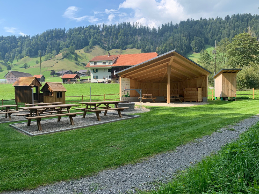
The stroller-friendly hiking trail Escholzmatt-Wiggen-Marbach is equipped with cozy and varied resting areas.
Hiking trail
Time required: 2 hours 30 minutesLength: 9.60km
Naturpark Pfyn-Finges
Hills Loop Tour
Loop hiking trail - between the gentle hills in the nature reserveDistance 3.5 km
Time required 1 h 00
Altitude difference: Ascent 150 m
Altitude difference: Descent 150 m
Hiking trail
Length: 3.50km
UNESCO Biosphäre Entlebuch
Hirsegg - Bodenhütte - Hirsegg
From Hirsegg to Schlüechtli, then to Bodenhütte and back to Hirsegg
Hiking trail
Time required: 2 hours 35 minutesLength: 7.24km
UNESCO Biosphäre Entlebuch
Hirsegg - Schrattenfluh - Rossweid - Sörenberg
Hiking across moor and karst landscapes - a unique experience in the UNESCO Biosphere Entlebuch.
Hiking trail
Time required: 6 hours 37 minutesLength: 17.96km
Naturpark Beverin
Hoch hinauf - Piz Beverin
Der knapp 3000 Meter hohe Piz Beverin ist einer der beliebtesten Aussichtsberge Graubündens. Der Berg ist Namensgeber und Herzstück des Naturpark Beverin. Eine anspruchsvolle Wanderung durch eine vielseitige Landschaft.
Hiking trail
Time required: 6 hours 40 minutesLength: 16.20km
Naturpark Thal
Holzweg Thal
Open
Along this experience trail, discover the forest and natural wood products in an artistic and recreational way, using your head, heart and hands.
Theme trailHiking trail
Time required: 2 hoursLength: 5.00km
Landschaftspark Binntal
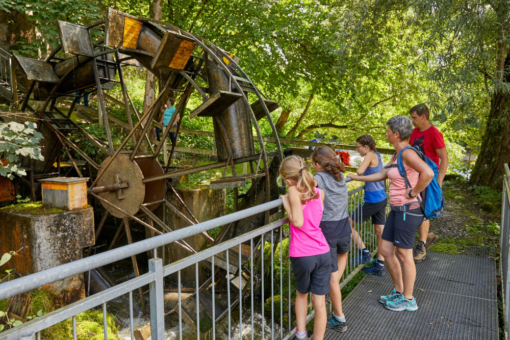
Hydropower cultural trail
Open
Beautiful hike around the theme of water, starting in Mühlebach and ending at Wasen
Hiking trail
Time required: 2 hoursLength: 5.00km
Naturpark Thal
Infotafeln Heidelerche
Das Förderprogramm Lebensraum Weide (FP Weide) hat die Heidelerche als Zielart. Auf vier Tafeln wird diese Vogelart und ihr Lebensraum portraitiert.
Theme trailHiking trail
Time required: 35 minutesLength: 1.00km
Jurapark Aargau
Iron Route Wölflinswil-Herznach
For centuries, iron ore was mined between Herznach and Wölflinswil. Follow the traces of the miners. But not only iron lies in the picturesque Jura landscape: with a bit of luck, you will find fossils along the path.
Theme trailHiking trail
Time required: 2 hoursLength: 7.33km
Parc naturel régional Gruyère Pays-d'Enhaut
Jaun - Charmey
Via Le Gruyère AOP
Theme trailHiking trailOther routes
Time required: 3 hours 54 minutesLength: 12.00km
Naturpark Thal
Jura Crest Trail Stage 5, Balsthal–Weissenstein
Steep ascent - nice reward: The 5th stage of the Jura Crest Trail has a lot to offer.
Hiking trail
Time required: 6 hours 40 minutesLength: 21.00km
Jurapark Aargau
Jura ridgeway to Wasserflue
A typical Jurapark hike: wide views over green Jura hills and a Genuss-Strassen restaurant with regional specialties to finish.
Hiking trail
Time required: 2 hours 35 minutesLength: 8.82km
Naturpark Thal
Jura-Höhenweg (Etappe 4)
Von Hauenstein nach Balsthal in 6.30 Stunden, durch Jura-Buhenwald, vorbei an prächtigen Höfen mit gepflegten Gärten und Burgruinen. Aussichstpunkte mit Blick auf die höchsten Jura-Gipfel und das Mittelland - es lohnt sich!
Hiking trail
Length: 21.00km
Naturpark Thal
Juraweg Thal
Einzigartiges Wegwandernetz auf der 2. Jurakette. Auf 51 Tafeln erfahren Sie Spannendes über Geografie, Natur und Geschichte im Naturpark Thal.
Theme trailHiking trail
Time required: 6 hours 45 minutesLength: 23.00km
Jurapark Aargau
Kienberg hiking trails - Route 1
Route 1 of the Kienberg hiking trails is a leisurely circular route starting from Saalhöhe with great views from the Burgflue.
Hiking trail
Time required: 1 hour 46 minutesLength: 6.01km
Jurapark Aargau
Kienberg hiking trails - Route 2
Route 2 of the Kienberg hiking trails leads from the Saalhöhe via the Burgflue viewpoint to the Jurapark village of Kienberg.
Hiking trail
Time required: 1 hour 40 minutesLength: 5.58km
Jurapark Aargau
Kienberg hiking trails - Route 3
Route 3 of the Kienberg hiking trails leads from Saalhöhe up to the Burgflue viewpoint and then across open fields into the Jurapark village of Kienberg.
Hiking trail
Time required: 2 hours 17 minutesLength: 7.92km