Regionaler Naturpark Schaffhausen
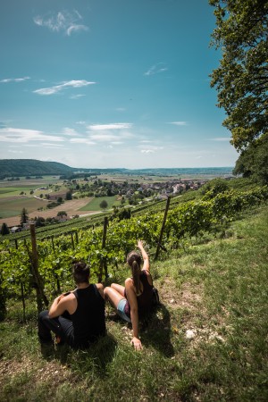
Gälenfritz - 2. Etappe
The route offers you a diverse trail with culinary, cultural, scenic and recreational highlights. Visit the Klettgau member municipalities of the Schaffhausen Regional Nature Park
Hiking trail
Time required: 3 hours 30 minutesLength: 13.00km
Naturpark Gantrisch
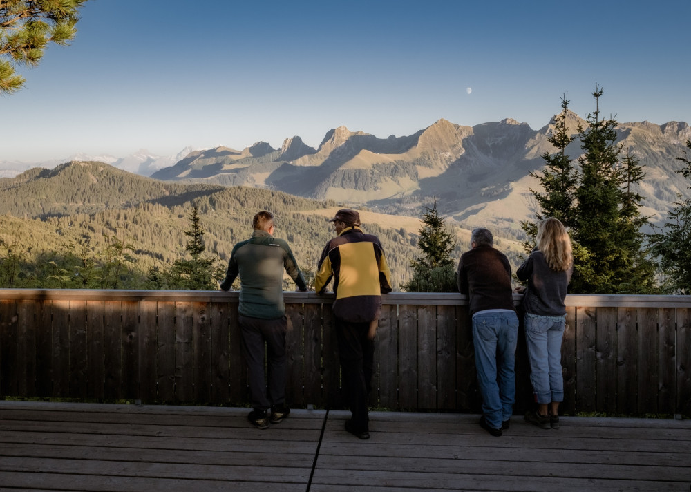
Gantrisch Panorama route with Gäggersteg (Switzerland Mobility 379)
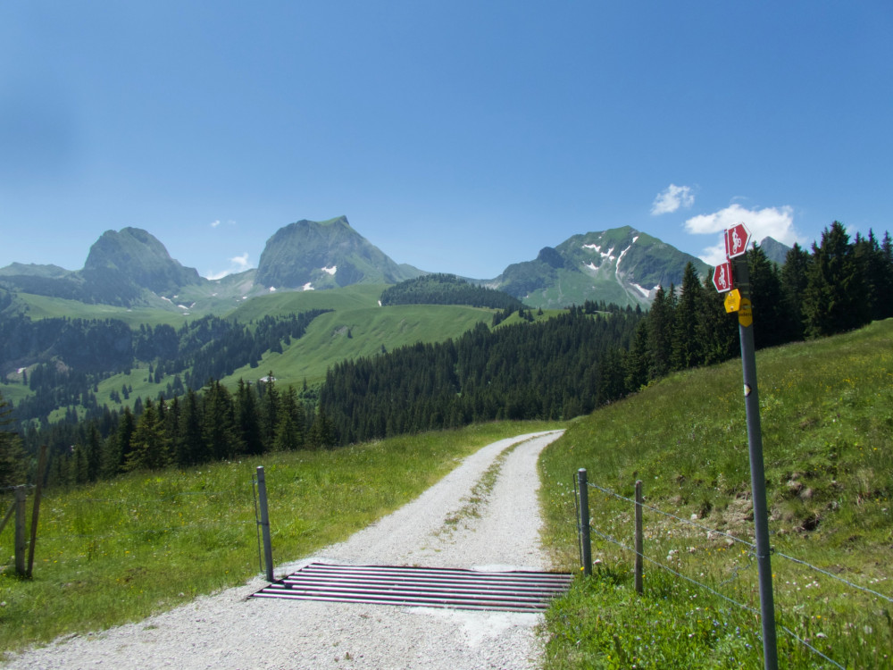
The Gantrisch Panorama route offers beautiful views of the Prealps and the Jura chain. The high-altitude hike follows well-developed and signposted hiking trails. A highlight is the Gäggersteg!
Hiking trail
Time required: 6 hours 55 minutesLength: 21.10km
Naturpark Gantrisch
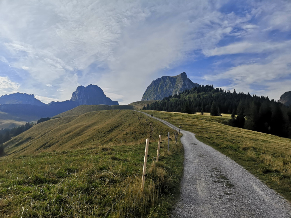
Gantrisch Summit Hike, 2176 m elevation
The Gantrisch is not only beautiful to look at in pictures, but the hike also offers a lot – wonderful views, varied landscapes, and challenging sections.
Hiking trail
Time required: 3 hours 30 minutesLength: 9.14km
Naturpark Gantrisch
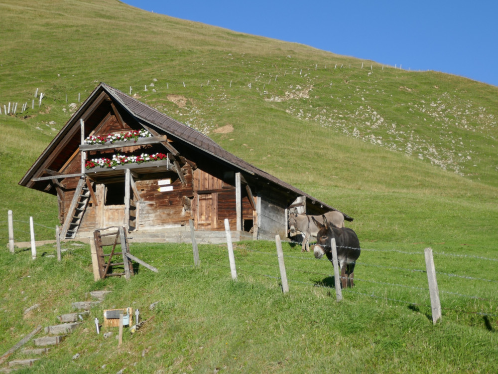
Gantrischseeli via Alp Bire
Circular hike from Türliboden via Alp Bire to the idyllic Gantrischseeli with panoramic views of Gantrisch & Chummlispitz – ideal for an enjoyable route.
Hiking trail
Time required: 1 hour 35 minutesLength: 4.76km
Parc naturel régional Gruyère Pays-d'Enhaut
Gastlosen Tour
Vertical north faces and sculpted south-facing slopes
Hiking trail
Time required: 4 hoursLength: 10.90km
UNESCO Biosphäre Entlebuch
Gastronomic Round Hike Sörenberg
Open
This culinary summer route is an easy hike from course to course through the beautiful natural landscape in Sörenberg.
Book ticket
Hiking trail
Time required: 2 hours 25 minutesLength: 8.84km
Naturpark Pfyn-Finges
Gemmi - Daubenhorn
Enjoy the unforgettable view on this hike to the summit of the Daubenhorn.
Hiking trail
Length: 5.16km
UNESCO Biosphäre Entlebuch
Glaubenbielen - Haglere - Sörenberg
Scenic hike through fantastic mountain and moor landscapes via Haglere to Sörenberg.
Hiking trail
Time required: 3 hours 35 minutesLength: 9.78km
UNESCO Biosphäre Entlebuch
Glaubenbielen - Sattelpass - Seewen - Stäldili - Flühli
The hike from the Glaubenbielen Pass to Flühli takes you through fantastic moorland landscapes and past the small mountain lake «Sewenseeli».
Hiking trail
Time required: 6 hours 10 minutesLength: 20.15km
Naturpark Pfyn-Finges
Grand Canyon? Illgraben!
Alps, flowers, mountain lakes and a unique view into the Valais Grand Canyon
Hiking trail
Length: 17.00km
Parc naturel régional Gruyère Pays-d'Enhaut
Grand Tour des Vanils
The Grand Tour des Vanils is divided into 11 stages around the Park. The tour can be done in its entirety, in stages or by combining them over several days.
Hiking trail
Time required: 70 hoursLength: 158.00km
Parc naturel régional Gruyère Pays-d'Enhaut
Grandvillard - Lessoc
The trail leads out of Grandvillard , then over the stream of Les Marais to below the waterfall and to the grotto, which is a place of Gruyère pilgrimage . In the village centre there is a well with its imposing cupola.
Theme trailHiking trailOther routes
Time required: 1 hour 15 minutesLength: 4.20km
Naturpark Pfyn-Finges
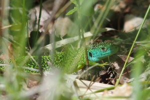
Green Lizard Trail
Superb stroll through the vineyards with a view of the forest of Pfyn/Finges nature reserveDistance 2 km
Time required 0 h 45
Altitude difference: Ascent 50 m
Altitude difference: Descent 50 m
Theme trailHiking trail
Time required: 45 minutesLength: 2.00km
Landschaftspark Binntal
Grengiols – Bister cultural trail (circular route)
Open
Short hike starting in the picturesque village of Grengiols to the small, beautiful village of Bister and back again.
Hiking trail
Time required: 2 hoursLength: 6.20km
Landschaftspark Binntal
Grengiols – Firsitten – Grengiols
Open
An interesting circular trail that leads you past a number of cultural highlights. The hike takes about 4-5 hours. The route can also start with the Tulip Ring.
Hiking trail
Time required: 4 hours 20 minutesLength: 10.42km
Landschaftspark Binntal
Grengiols – Zenhäusern – Bister – Grengiols
Open
A varied circular walk that takes you past a traditional irrigation channel (Suone) to Zenhäusern, Binnelti, Bister, and back to Grengiols. The hike lasts about 3 hours.
Hiking trail
Time required: 3 hoursLength: 9.00km
Parc régional Chasseral
Grenzsteinweg
Betrachten Sie alte Grenzsteine, welche vor 1950 gesetzt wurden und die Grenze der früheren Gemeinden Tramelan-Dessus und Tramelan-Dessous markierten.
Theme trailHiking trail
Time required: 3 hoursLength: 5.30km
Naturpark Diemtigtal
Grimmialp stroller round route
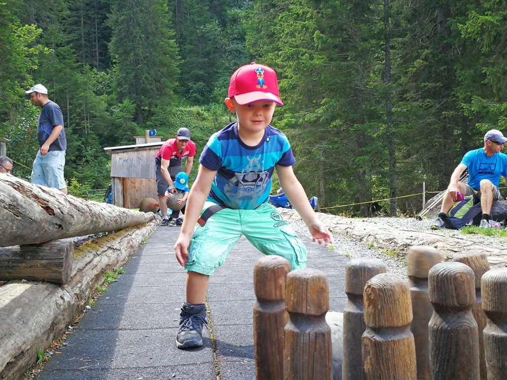
This easy circular hike is ideal for a Sunday walk with your family. The play stations of the Grimmimutz adventure trail especially delight the little hikers.
Hiking trail
Time required: 1 hour 45 minutesLength: 5.46km
Naturpark Diemtigtal
Grimmimutz Adventure Trail
A circular hiking trail with various game stations has been created from the children's story by Peter Zahnd about the adventures of the forest little man Grimmimutz and the evil pepper witch.
Hiking trail
Time required: 1 hour 30 minutesLength: 4.13km
Parc naturel régional Gruyère Pays-d'Enhaut
Gros Mont - Abländschen
Open
From one side of the Gastlosen to the other, via the Col du Loup
Hiking trail
Time required: 4 hours 20 minutesLength: 10.70km
Parc naturel régional Gruyère Pays-d'Enhaut
Gros Mont - Mittelberg
Open
Via Col du Loup and Grubenberghütte
Hiking trail
Time required: 4 hours 20 minutesLength: 10.80km
Parc naturel régional Gruyère Pays-d'Enhaut
Gros Mont – Château-d’Œx
Open
From Gros Mont to Pays-d'Enhaut
Hiking trail
Time required: 5 hours 20 minutesLength: 16.60km
Naturpark Pfyn-Finges
Grossi Wasserleitu
Diversity of nature on a picturesque trail along the rippling water course. Walk along the Suone Neuf (Bisse Neuf) and the Grossi Wasserleitu from Varen (Varen irrigation channel). Both irrigation channels take their water directly from the Raspille
Hiking trail
Time required: 3 hoursLength: 12.00km
Naturpark Pfyn-Finges
Gruben – Höhenpfad – Oberems
The narrow trail leads through beautiful and wild alpine landscapes across all types of terrain and numerous streams, and past idyllically situated alpine huts.
Hiking trail
Length: 13.00km
Parc naturel régional Gruyère Pays-d'Enhaut
Gruyères - Estavannens
The trail leads from the little town of Gruyère past the Maison du Gruyère and then further in the direction of the Saane valley. Then it ascends again between forest and meadows to the village of Estavannens.
Theme trailHiking trailOther routes
Time required: 1 hour 45 minutesLength: 6.30km
Parc naturel régional Gruyère Pays-d'Enhaut
Gruyères – Neirivue
The trail leads from the little town of Gruyère past the Maison du Gruyère and then further in the direction of the Saane valley. Then it ascends again over meadows to the village of Neirivue.
Theme trailHiking trailOther routes
Time required: 3 hoursLength: 10.00km
Naturpark Gantrisch
Gürbe Wild Water Path (SchweizMobil 382)
The hike follows the adventurous route in the wild Gürbegraben gorge all the way to Wattenwil. Along the way, there are over a hundred barriers made of wood and concrete that slow the force of the Gürbe wild stream.
Hiking trail
Time required: 3 hours 10 minutesLength: 10.82km
Naturpark Gantrisch
Gürbetal High Trail (SwitzerlandMobility 380)
This day hike follows the eastern slope of the Längenberg along nature trails with gentle ups and downs all the way to Gürbebadi in Mühlethurnen. Picnic areas, fire pits, and benches, as well as several farm stands, are great spots to take a break.
Hiking trail
Time required: 5 hours 30 minutesLength: 18.22km
Wildnispark Zürich Sihlwald
Hausen am Albis – Oberrieden
Diese spannende Wanderung mit vielen Höhenmetern führt einmal quer durch den Naturwald Sihlwald und endet am erfrischenden Zürichsee.
Hiking trail
Time required: 2 hoursLength: 10.00km
Wildnispark Zürich Sihlwald
Hausen–Sihlwald–Horgen
This hike leads through the wilderness park of Zurich Sihlwald, the largest natural beech mixed woodland in the central part of Switzerland.
Hiking trail
Time required: 3 hours 30 minutesLength: 11.50km