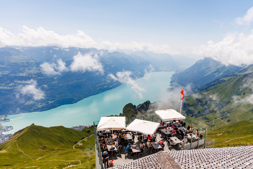
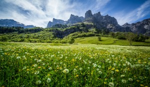
Naturpark Pfyn-Finges
Circular walk Flüealp
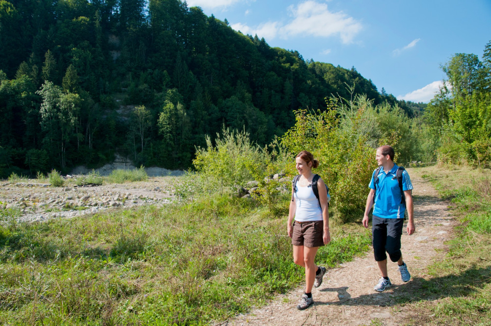
This wonderful circular hike lasts about 4:30 and leads to the alpine pastures around Leukerbad. The paths are well developed so that the hike is suitable for a wide public.
Hiking trail
Time required: 4 hours 30 minutesLength: 12.50km
Parc naturel régional Gruyère Pays-d'Enhaut
Col des Mosses – Château-d'Œx
Marshy sites and authentic villages.
Hiking trail
Time required: 4 hours 10 minutesLength: 15.20km
Parc naturel régional Gruyère Pays-d'Enhaut
Col des Mosses – La Lécherette
A legacy of the last ice ages.
Hiking trail
Time required: 3 hours 30 minutesLength: 9.80km
Parc naturel régional Jura vaudois
Col du Marchairuz - Le Brassus
Entdecken Sie die Naturlandschaft im Gebiet der Sèche de Gimel bevor Sie vom Gebirgspass Col du Marchairuz aus Ihren Abstieg nach Le Brassus fortsetzen. Entdecken Sie unterwegs die Wytweiden, und Trockensteinmauern der Grande Rolat und der Meylande.
Hiking trail
Time required: 2 hoursLength: 8.00km
Parc naturel régional Jura vaudois
Col du Marchairuz - Saint-Cergue
Ausgehend vom Gebirgspass Col du Marchairuz folgt die Route entlang des Jura-Höhenwegs bis zum Crêt de la Neuve, von wo aus man eine wunderschöne Aussicht auf den Genfersee geniessen kann. Der Weg verläuft dann oberhalb Arzier nach Saint-Cergue.
Hiking trail
Time required: 4 hours 30 minutesLength: 17.00km
Parc naturel régional Jura vaudois
Col du Marchairuz - Saint-George
Ab dem Gebirgspass Col du Marchairuz führt der Weg am Pré de Rolle vorbei, bevor er in den Wald hineinführt. Nicht zu verpassen ist der Rocher l’Eau Pendante mit seiner nie versiegenden Quelle auf dem Weg nach Saint-George.
Hiking trail
Time required: 1 hour 45 minutesLength: 7.00km
Parc naturel régional Jura vaudois
Col du Marchairuz – Aubonne
Diese Wanderung führt von den Jurahöhen bergab bis zu den Weinbergen des Genfersees, vom Gebirgspass Col du Marchairuz über die charmanten Dörfer Bière und Saint-Livres bis nach Aubonne.
Hiking trail
Time required: 4 hours 30 minutesLength: 20.00km
Parc naturel régional Jura vaudois
Col du Mollendruz - Le Pont
Ein schöner Abstieg vom Gebirgspass Col du Mollendruz bis zum Lac de Joux. Der Weg führt durch Wälder und Wytweiden über den kleinen Ort Pétra Félix, bevor es zu Le Pont und seinem malerischen Hafen geht.
Hiking trail
Time required: 1 hour 15 minutesLength: 5.00km
Parc naturel régional Jura vaudois
Col du Mollendruz - Montricher
Diese schöne Wanderung führt über die kleine Beiz «Buvette de Châtel» bis zum wunderschönen Aussichtspunkt Croix de Châtel. Der Abstieg verläuft durch den Wald bis zum charmanten Dorf Montricher.
Hiking trail
Time required: 2 hours 30 minutesLength: 10.00km
Parc naturel régional Jura vaudois
Col du Mollendruz - Romainmôtier
Vom Gebirgspass Col du Mollendruz aus führt die Route über die typischen Wytweiden des Jurabogens bis zum Kluniazenserstädtchen Romainmôtier.
Hiking trail
Time required: 3 hoursLength: 12.00km
Parc naturel régional Gruyère Pays-d'Enhaut
Crésuz - Gruyères
The trials leads to Châtel-sur-Montsalvens in a superb course that is listed in the inventory of historical traffic routes in Switzerland. Afterwards the trail descends to the Broc chocolate factory and to Gruyère.
Theme trailHiking trailOther routes
Time required: 2 hours 15 minutesLength: 8.00km
Parc naturel régional Gruyère Pays-d'Enhaut
Crésuz - Gruyères par les Gorges de la Jogne
From the middle of the village the trail descends to the Lac de Montsalvens, then along the lake to the dam of Châtel-sur-Montsalvens - the first arch dam in Europe. The trail then leads to the little town of Gruyère.
Theme trailHiking trailOther routes
Time required: 2 hours 45 minutesLength: 9.20km
Naturpark Pfyn-Finges
Crossing the Pfyn Forest
High biodiversity and a Mediterranean ambiance
Distance 11 km
Time required 3 h
Altitude difference: Ascent 180 m
Altitude difference: Descent 260 m
Hiking trail
Time required: 3 hoursLength: 11.00km
UNESCO Biosphäre Entlebuch
Culinary Route Rothorn
Closed
3 courses – 3 cantons
Hiking trail
Time required: 1 hour 55 minutesLength: 3.93km
Naturpark Pfyn-Finges
Cultural Trail Dala-Raspille
Already the ancient Romans were familiar with the healing powers of water and wine. The old Roman road connects the bathing experience with wine tasting.
Hiking trail
Length: 13.50km
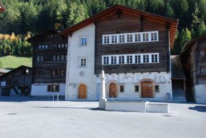
Landschaftspark Binntal
Cultural trail Ernen – Mooshubel – Mühlebach – Panorama trai
Open
The starting point for this cultural trail is the village square in Ernen. The hiking trail begins at Michligschrota via Mosshubel to Mühlebach. From there it leads up the steep village street to the chapel. The panoramic trail back to Ernen begins a
Hiking trail
Time required: 1 hourLength: 3.00km
Landschaftspark Binntal
Cultural trail in and around Grengiols (circular route)
Open
Circular trail starting in beautiful Grengiols in the direction of Tulpenhügel. After a short hike, you reach Bächernhäusern and then return to the village.
Hiking trail
Time required: 45 minutesLength: 2.20km
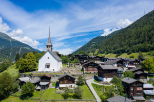
Landschaftspark Binntal
Cultural trail in and around the village of Ernen
Open
A village tour through the historic town of Ernen
Hiking trail
Time required: 50 minutesLength: 1.20km
Landschaftspark Binntal
Cultural trail Lax - Deisch - Grengiols railway station
Open
Beautiful hike starting in Lax via Deisch to Grengiols
Hiking trail
Time required: 1 hour 30 minutesLength: 4.30km
Jurapark Aargau
Culture & Grape Variety Trail Oberflachs
The Schenkenberg Valley is known for its vineyards, and the Culture and Grape Variety Trail begins at the schoolhouse in Oberflachs. On 30 display panels, you will learn a lot of interesting facts about viticulture and grape varieties.
Theme trailHiking trail
Time required: 50 minutesLength: 2.86km
Naturpark Thal
Der FlowerWalk „Bluemewäg Allmend“
Auf der Wanderung werden Sie Via App auf Pflanzenarten am Wegrand aufmerksam gemacht.
Theme trailHiking trail
Time required: 2 hoursLength: 6.00km
Wildnispark Zürich Sihlwald
Ebertswil – Eschentobel – Ebertswil
Diese kurze Rundwanderung führt nach wenigen Schritten in den Naturwald Sihlwald zu wilden Tobeln, schmalen Pfaden und Waldflächen, die mit ihren dürren Totholzständern einen ersten Eindruck von der entstehenden Waldwildnis vermitteln.
Hiking trail
Time required: 2 hoursLength: 8.00km
UNESCO Biosphäre Entlebuch
Emmen riverside path
This suggested part of the Emmen riverside path from Schüpfheim to Entlebuch is ideally suitable for a family walk. At every metre the river sounds a little different and cloaks the walker in gentle rapture.
Hiking trail
Time required: 4 hoursLength: 7.00km
UNESCO Biosphäre Entlebuch
Emmenuferweg
The Emmenuferweg opens up one of the most charming river landscapes in the canton of Lucerne. From the source in the heart of the UNESCO Biosphere Entlebuch, the path leads on mysterious trails into the vibrant agglomeration of the city of Lucerne.
Hiking trail
Time required: 18 hoursLength: 65.87km
UNESCO Biosphäre Entlebuch
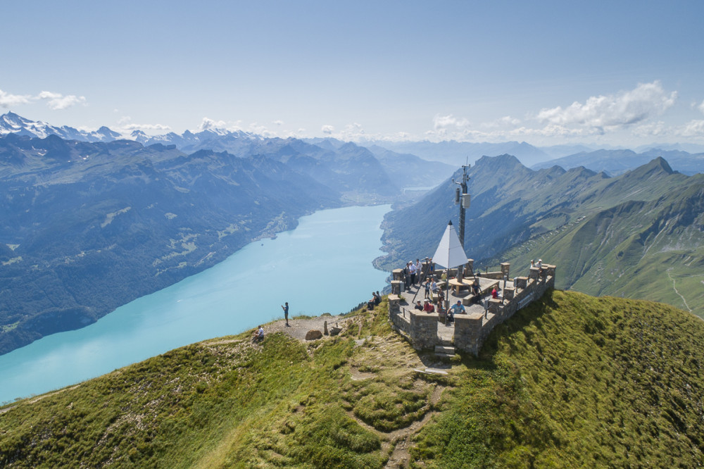
Emmenuferweg Stage 1: Brienzer Rothorn–Sörenberg
The first stage of the Emmenuferweg invites you to marvel. The start at the Brienzer Rothorn is spectacular. Accompanied by impressive views of Lake Brienz and the Bernese Alps, the route leads to the source of the Emme and immerses into the UNESCO Entlebuch Biosphere.
Hiking trail
Time required: 3 hoursLength: 9.68km
UNESCO Biosphäre Entlebuch
Emmenuferweg Stage 2: Schüpfheim-Wolhusen
The untouched river landscape between Entlebuch and Wolhusen is considered a hidden gem among nature enthusiasts. The hike leads through a protected floodplain area, repeatedly bringing you to the banks of the wild river course of the Kleine Emme.
Hiking trail
Time required: 4 hours 30 minutesLength: 16.85km
UNESCO Biosphäre Entlebuch
Emmenuferweg Stage 2: Sörenberg-Schüpfheim
The second stage of the Emmenuferweg is also the wildest. From Sörenberg, the hiking trail winds along deep gorges and high rock walls down into the main Entlebuch valley to Schüpfheim.
Hiking trail
Time required: 5 hours 30 minutesLength: 18.64km
UNESCO Biosphäre Entlebuch
Emmenuferweg stage 4: Wolhusen-Emmenbrücke
At the beginning of the stage, you can see the monastery towering above Werthenstein. From here, the hike leads largely flat along the shady bank of the Kleine Emme and slowly approaches the agglomeration of the city of Lucerne.
Hiking trail
Time required: 5 hoursLength: 19.49km
Parc naturel régional Gruyère Pays-d'Enhaut
Enney – Charmey
Between two teeth and three valley
Hiking trail
Time required: 5 hours 25 minutesLength: 15.10km
UNESCO Biosphäre Entlebuch
Entlebuch Emmental high route
This path is simply the height! Discover landscapes and mountain worlds that enchant and inspire in the UNESCO Biosphere Entlebuch and its neighboring region Emmental.
Hiking trail
Time required: 13 hours 31 minutesLength: 41.84km