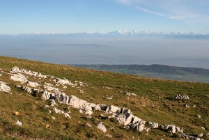
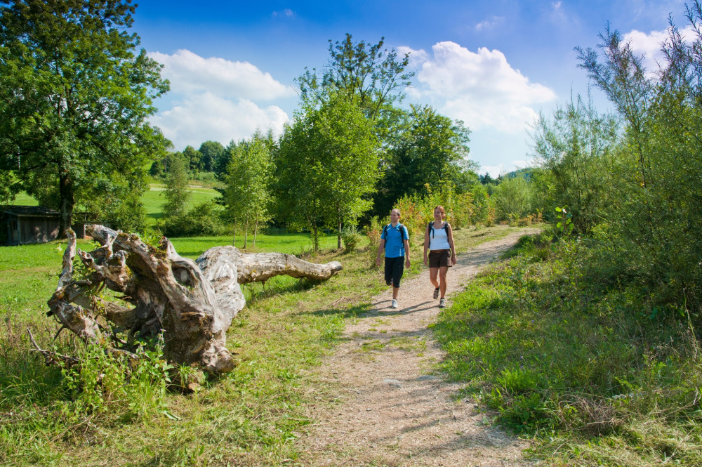
Parc régional Chasseral
Chasseral - Chaumont
This excursion from the summit of the Chasseral to Chaumont is made for those who prefer the descent to the ascent. You will be taken gently down and up from the mountain peeled by the biting winter to the dense forests of the hillsides.
Hiking trail
Time required: 4 hoursLength: 15.00km
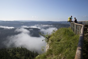
Parc régional Chasseral
Chasseral durch die "Combe Biosse"
Gehen Sie durch die wilde «Combe Biosse» im Val de Ruz, unterhalb des Chasseralgrats, um zum Gipfel zu gelangen. Der Abstieg erfolgt durch die Wälder und Weiden des Chasserals.
Hiking trail
Time required: 4 hours 30 minutesLength: 15.00km
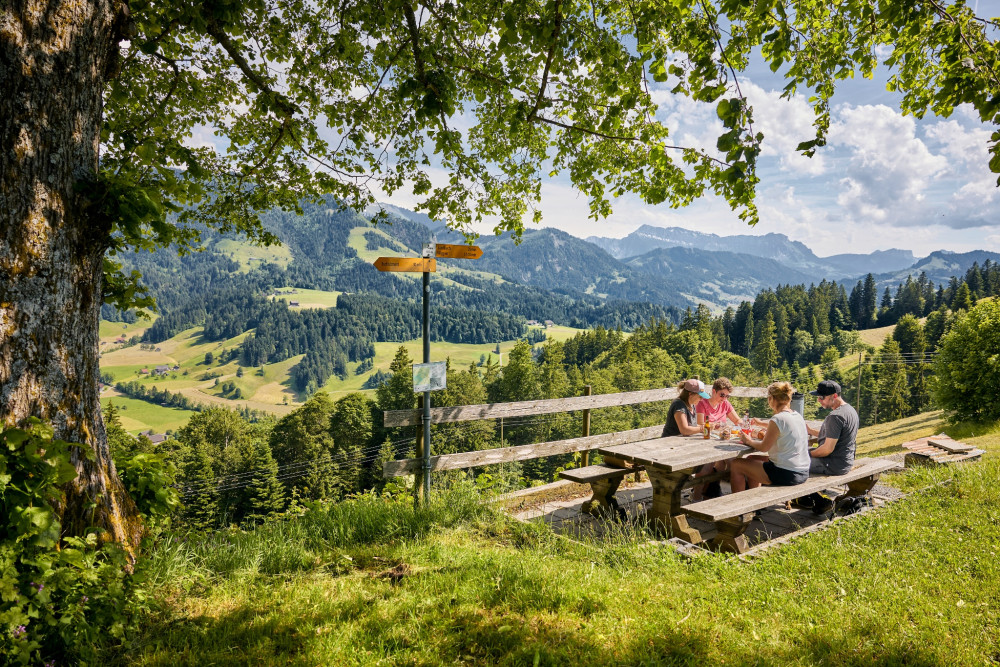
Parc régional Chasseral
Chasseral – Les Prés-d'Orvin
A must among the walking routes ...
This ideal family walk leads from Chasseral over the Chasseral ridge with a gentle slope down to Les Prés-d'Orvin: panoramic view, pastured woodlands, alpine mountain flora ...
Hiking trail
Time required: 4 hours 30 minutesLength: 16.00km
Parc naturel régional Gruyère Pays-d'Enhaut
Château-d’Œx – Les Moulins
From Château-d'Oex, one proceeds along the railway track and the stream, over meadows and pastures, until the village of Les Moulins is reached, where BIO Gruyère cheese is produced.
Theme trailHiking trailOther routes
Time required: 50 minutesLength: 3.40km
Parc naturel régional Gruyère Pays-d'Enhaut
Château-d’Œx – L’Etivaz
Partially open
This stage of the trail runs along the foot of the Gummfluh and its imposing rocky slopes, through La Pierreuse nature reserve and into the L’Etivaz valley. The trail offers panoramic views that stretch from the Pays-d’Enhaut and the Vaud Alps.
Hiking trail
Time required: 5 hours 30 minutesLength: 13.00km
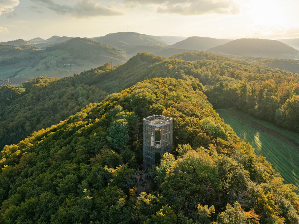
Jurapark Aargau
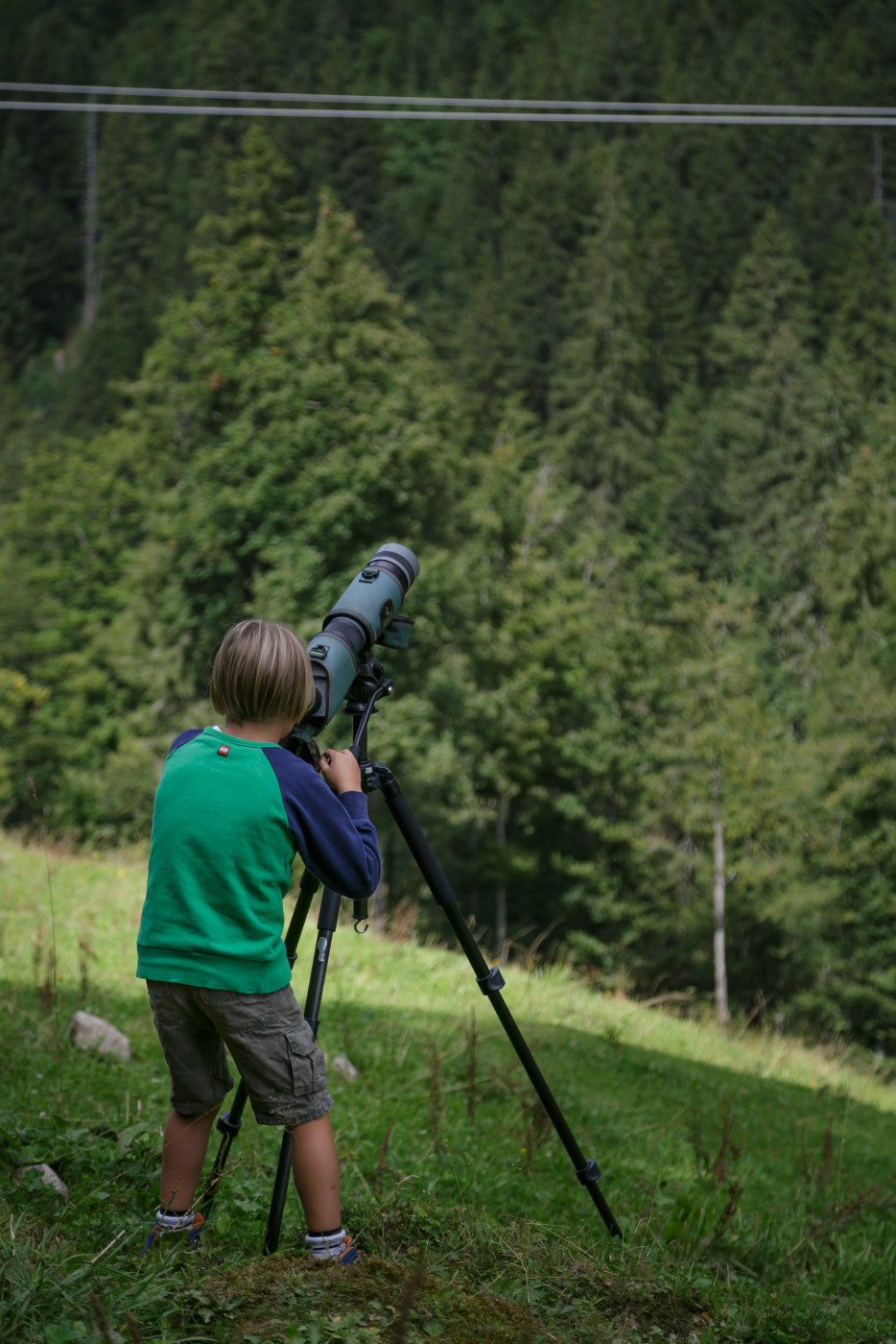
Cheisacherturm and observatory
Hike through the hills of Jurapark Aargau from Bürersteig via Cheisacherturm and observatory to Mönthal.
Hiking trail
Time required: 2 hours 35 minutesLength: 9.71km
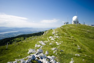
Parc naturel régional Jura vaudois
Chemin de La Dôle
This hike takes you through lovely meadows and forests up to the Jura’s Dôle Mountain and over to La Givrine.At the summit with a 360° panorama, you will have a breathtaking view of Lake Geneva, Mont Blanc in France and the Jura crest and plateau.
Hiking trail
Time required: 5 hoursLength: 16.00km
Parc naturel du Jorat
Chemin des Fontaines 12 km
Le chemin des fontaines a été créé en 2003 par la Ville de Lausanne à l'occasion des journées mondiales de la forêt et de l'eau. Source: Randoresto.ch
Theme trailHiking trail
Time required: 3 hoursLength: 12.00km
Parc naturel du Jorat
Chemin des Fontaines 3.3 km
Le chemin des fontaines a été créé en 2003 par la Ville de Lausanne à l'occasion des journées mondiales de la forêt et de l'eau.
Theme trailHiking trail
Time required: 45 minutesLength: 3.30km
Parc naturel du Jorat
Chemin des Fontaines 5.3 km
Le chemin des fontaines a été créé en 2003 par la Ville de Lausanne à l'occasion des journées mondiales de la forêt et de l'eau. Il nous permet de découvrir la forêt et les sources des bois du Jorat. Source: RandoResto.ch
Theme trailHiking trail
Time required: 1 hour 30 minutesLength: 5.30km
Parc naturel régional Jura vaudois
Chemin du Vallon de l'Aubonne
Diese Wanderung ist ein Muss für Botanikfans: Neben Feldern, den Wäldern am Fluss Aubonne und den Weinbergen oberhalb des Genfersees kann unterwegs auch das nationale Arboretum erkundet werden.
Hiking trail
Time required: 2 hours 50 minutesLength: 11.00km
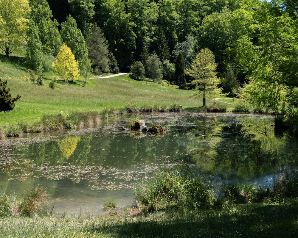
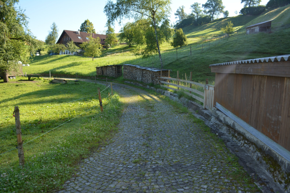
Parc régional Chasseral
Chemins Chouettes
Sept itinéraires écotouristiques de randonnée emmènent à la découverte du patrimoine culturel et naturel du Val-de-Ruz. Des panneaux didactiques renseignent les voyageurs.
Hiking trail
Time required: 3 hoursLength: 10.00km
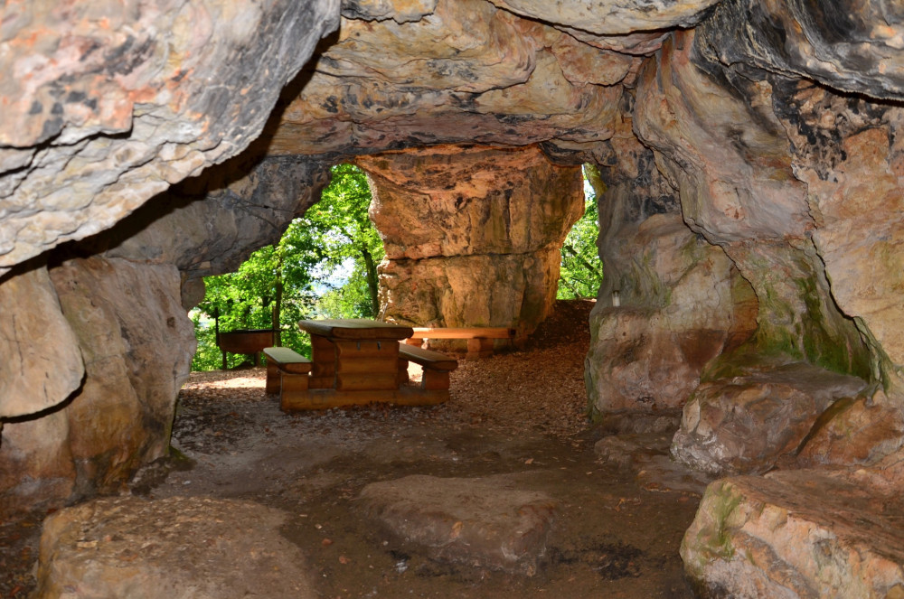
Hint
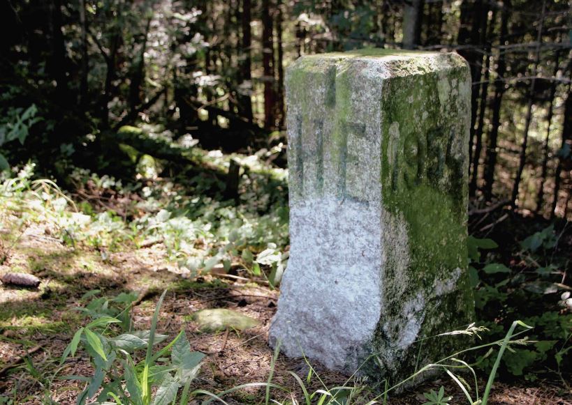
Parc du Doubs
Chemins de la Contrebande
Glissez-vous dans la peau d’un contrebandier sur l’un des quatre chemins de la contrebande et profitez de sites naturels totalement préservés.
Theme trailHiking trail
Parc naturel régional Jura vaudois
Circle Hike Dent de Vaulion
A lovely circle hike in the Jura Vaudois Nature Park leading from the lakeside village of Le Pont to the summit of the mountain Dent de Vaulion and return to Le Pont via Pétra Félix.
Hiking trail
Time required: 3 hoursLength: 10.00km
UNESCO Biosphäre Entlebuch
Circular hike around Finsterwald
Energy then and now.
Hiking trail
Time required: 1 hour 20 minutesLength: 4.91km
UNESCO Biosphäre Entlebuch
Circular hike between Entlebuch village and Kleine Emme
The sound of water as a pleasant companion.
Hiking trail
Time required: 1 hour 25 minutesLength: 5.07km
Jurapark Aargau
Circular hike Bruderhöhle
A circular hike to the legendary Bruderhöhle, with a visit to the Linner Linden tree and the Linner waterfall in the Sagimülital valley.
Hiking trail
Time required: 2 hours 10 minutesLength: 7.84km
UNESCO Biosphäre Entlebuch
Circular hike Gfellen-Schimbrig
Enjoy a varied hike around the Schimbrig. Those who take on the steep ascent, which requires surefootedness and concentration, will be rewarded at the summit with a great view of the Entlebuch mountains, the Pilatus including Lake Lucerne, and the Bernese Alps.
Hiking trail
Time required: 5 hours 20 minutesLength: 14.42km
Naturpark Gantrisch
Circular hike Gürbequelle
Varied circular route from Wasserscheide: across alpine pastures, through larch forests, past impressive rock walls, with a wide view of Lake Thun.
Hiking trail
Time required: 2 hours 25 minutesLength: 8.26km
UNESCO Biosphäre Entlebuch
Circular hike Heiligkreuz-Farnere-First
Scenic circular hike with a place to stop at First.
Hiking trail
Time required: 2 hours 45 minutesLength: 7.76km
UNESCO Biosphäre Entlebuch
Circular hike in the Ebnet area
On this circular hike, two historical routes and impressive views await those looking for a walk away from the big (hiking) crowd.
Hiking trail
Time required: 3 hours 10 minutesLength: 11.19km
UNESCO Biosphäre Entlebuch
Circular hike through the exclave Dieplischwand
Three municipalities in one go.
Hiking trail
Time required: 2 hours 35 minutesLength: 8.83km
UNESCO Biosphäre Entlebuch
Circular hiking route Luegisland - Lustenberg
Hill with guaranteed lots of views.
Hiking trail
Time required: 1 hour 15 minutesLength: 3.86km
UNESCO Biosphäre Entlebuch
Circular route Alpiliegg and Wissenegg
The circular hike is shaped by various unique moors.
Hiking trail
Time required: 2 hours 45 minutesLength: 9.25km
UNESCO Biosphäre Entlebuch
Circular route around Schwändi near Entlebuch
Cool forest in hot summer weather.
Hiking trail
Time required: 55 minutesLength: 2.06km
UNESCO Biosphäre Entlebuch
Circular route Entlebuch – Rengg – Ebnet
Varied circular hiking route through the municipality of Entlebuch.
Hiking trail
Time required: 3 hours 50 minutesLength: 12.33km
UNESCO Biosphäre Entlebuch
Circular route Escholzmatt – Turner
This circular hike to the Turner and Bock offers you a fantastic panoramic view.
Hiking trail
Time required: 3 hours 30 minutesLength: 10.81km
UNESCO Biosphäre Entlebuch
Circular route in the Rotmoos area
Three times Haselegg in the field of view.
Hiking trail
Time required: 50 minutesLength: 2.95km
UNESCO Biosphäre Entlebuch
Circular route Rossweid - Blattenegg
Short hike around the Hundschnubel.
Hiking trail
Time required: 1 hour 41 minutesLength: 5.27km
UNESCO Biosphäre Entlebuch
Circular route to the Kneipp facility in Flühli
Open
The Kneipp facility at Schwandalpweiher is a true natural oasis and lets you completely "reset" while enjoying nature wellness.
Hiking trail
Time required: 1 hour 13 minutesLength: 4.25km