
Wildnispark Zürich Sihlwald
Albispass–Hochwacht–Albispass
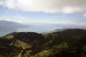
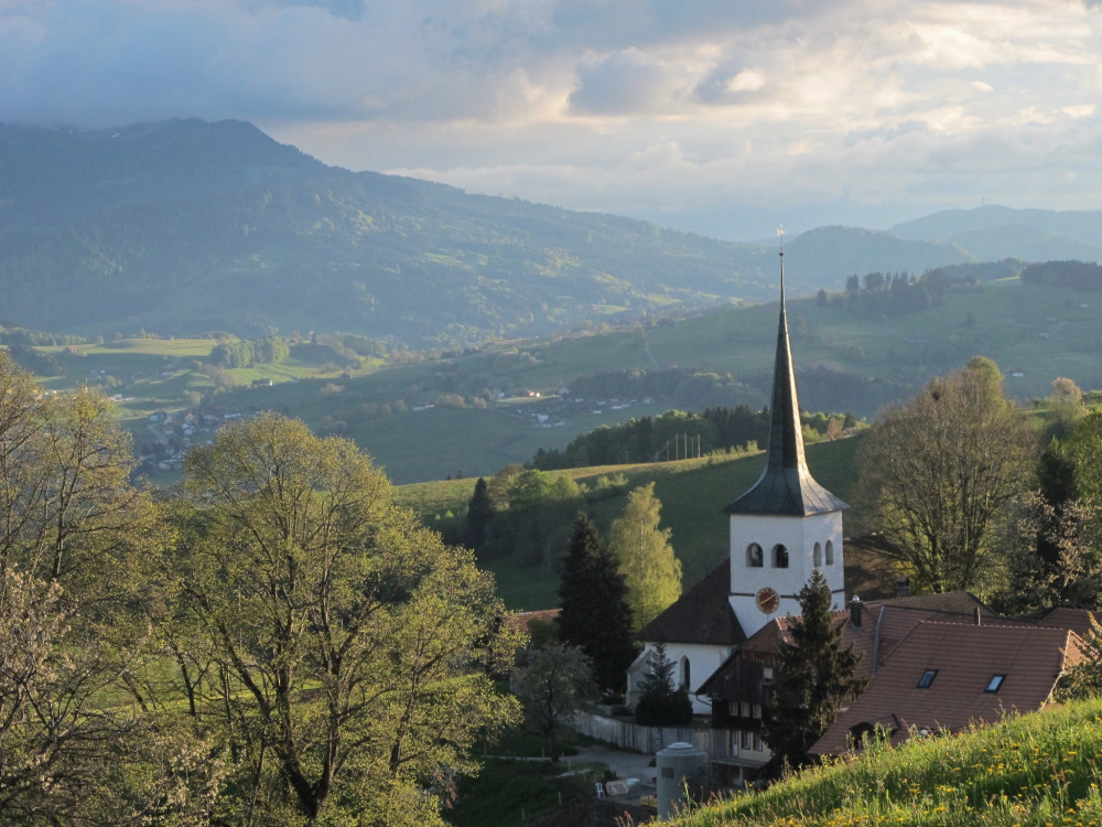
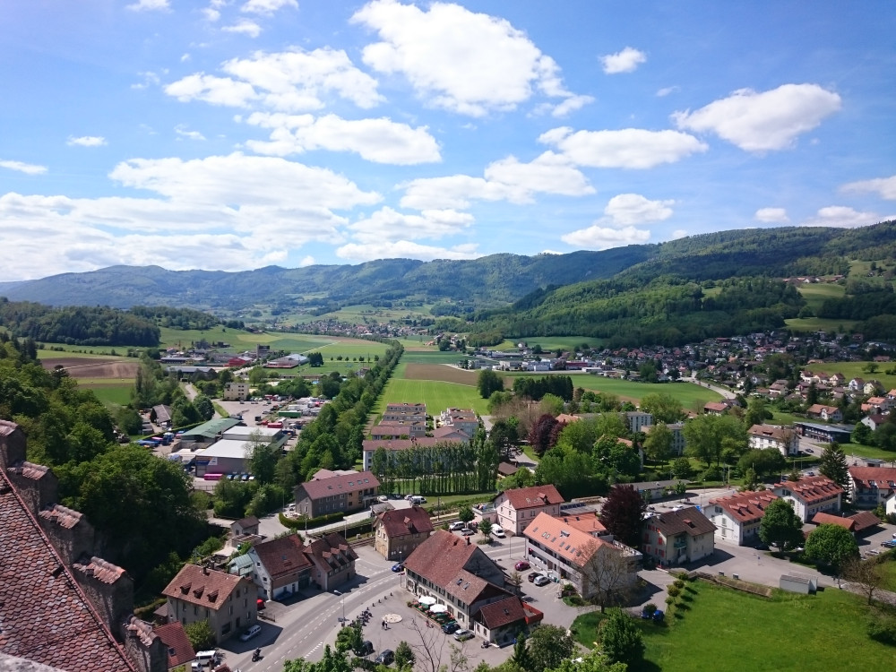
Short walk to the Hochwacht watch tower with incredible views over the whole Wildnispark Zurich.
Hiking trail
Time required: 50 minutesLength: 3.10km
Swiss Parks Network
Monbijoustrasse 61
CH-3007 Berne
Tel. +41 (0)31 381 10 71
Mob. +41 (0)76 525 49 44
info@parks.swiss

Short walk to the Hochwacht watch tower with incredible views over the whole Wildnispark Zurich.
Welch ein Kontrast! Kaum zehn Kilometer von Zürichs Zentrum, von Shoppingzentren und Banken, liegt einer der ursprünglichsten Wälder und der erste Naturerlebnispark der Schweiz.
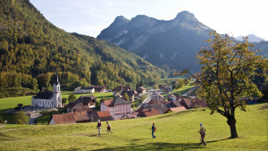
The trail starts with the ascent to the Col de Jaman. It leads up over alpine meadows. The alpine huts have traditional shingle roofs. The trail then descends again to the village of Les Avants.
The walks starts with an ascent to the Col de Jaman. The trail leads over meadows with cairns and past alpine huts with shingle roofs. The trail then descends to the village of Les Avants.
This stage is the only one on the Grand Tour des Vanils to offer a magnificent glimpse of Lake Geneva (from the Col de Jaman) and along the slopes of the Cape au Moine.
Two passes, two worlds
From the Allières relay station to the Montbovon crossroads
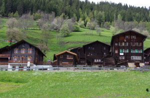
The hike leads you from the valley station of the Wiriehorn cable cars up to lush alpine pastures and the Wakker Prize-awarded village of Diemtigen.
The mountain trail from Ausserferrera to Sufers leads across the Nursera and Schwarzwald Alps with magnificent views of the Hinterrhein valleys of Val Ferrera and Rheinwald, which are characterised by alpine farming and the former mining industry.
From the Aaretal over the Belpberg, down into the Gürbetal and then back up onto the Längenberg. Along this route, there are repeatedly magnificent views as well as small villages in the Bernese Gürbetal.
Hill landscape, Sensegraben, a cantonal border, and the well-deserved refreshment in the mountain lake - all this is offered by stage 19 of the Alpenpanoramaweg.
From the lovely Schwarzsee to the Breccaschlund and into the sharp limestone landscape of the Greyerzer Alps, over the flat Euschel Pass, carved by glaciers, to Jaun, the only German-speaking village in the district of Gruyères.
Enjoy one last view of the Bernese Alps before the descent into the Schwarzwasser ravine. After crossing the world's oldest concrete arch bridge, Schwarzenburg is reached. Over its plateau, forests, and meadows, the path leads to the scenic Guggershörnli.
Die alte Averserstrasse von Juf zur Rofflaschlucht steht als historischer Verkehrsweg unter dem Schutz der Eidgenossenschaft und des Kantons Graubünden.
Discover the historical trails over the Randen, leading you through pleasant forest valleys up to the heights of the Randen with the vast stretch of the Zelgli meadow.
A huge palette of natural diversity awaits you. Our tip: Leave room for your own impressions and discoveries and sharpen your eye for the inconspicuous.
Even without much hiking experience this hike can be done easily. Although this is one of the easier hikes, the view is priceless.
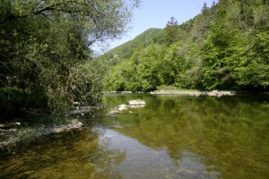
This hike does full justice to its name. The trail leads from Les Brenets near La Chaux-de-Fonds to St. Ursanne, almost always alongside the River Doubs and crossing the Doubs Regional National Park from west to east.
From Les Brenets, follow the Doubs to the impressive Saut du Doubs, a 27m high waterfall. The river widens into a mineral world to the Châtelot dam before sinking into deep gorges.
This stage goes through a thick and wild forest, house of many plant and animal species . It is hard to imagine just how much industry there was here 200 years ago. Today, only a few signs of this intense industrial activity remain.
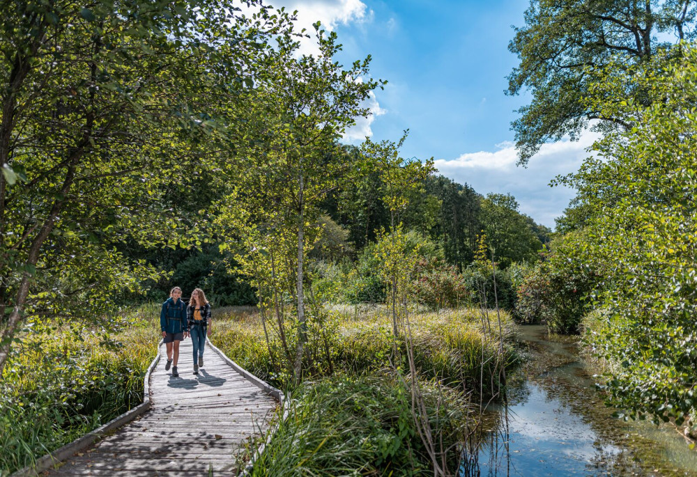
Enjoy the water along the quiet broad pathways, an ideal spot to observe the river's activity. Amid the silent fishermen, you can admire the trouts, pikes and aprons, also known as Roi du Doubs.
Leave the wild nature behind you and slowly come back to the real world before reaching the medieval town of St-Ursanne. There, the Doubs makes a sharp turn; perhaps this is where it gets ist name from - dubitus meaning the hesitant in Latin.
The trail starting from the Joux valley at the foot of the Jura, leads through the regional Jura Vaudois Nature Park to the highest summit of the Swiss Jura, Mont Tendre (1,679m), with a magnificent view of the Alps and the Lake of Geneva.
The shortest route between Ausserbinn and Steinmatten is to take the motorway to "Lätze Üsserbi" and then continue on the hiking trail to the Steinmatten tunnel portal
The starting point of the circular route is in Agarn. Follow the signposts with the badger. These will lead you to Unterems, Tuminen via Chrixhubel to Turtmann and back to Agarn.
A hiking trail along the path of the Baptists: You will visit secret meeting places and go along paths that are bordered by dry stone walls. And visit Baptists' bridge and the Baptists' archive in which many unpublished documents are stored.
Wandern Sie von Balsthal entlang der Dünnern nach Matzendorf und geniessen Sie den Ausblick auf die erste und zweite Jurakette.
Walk along the trails of the ore-miners through the south Randen. There, where many years ago, countless pits were dug out of the earth in search of the so-called bean ore, today there are many precious habitats.
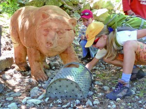
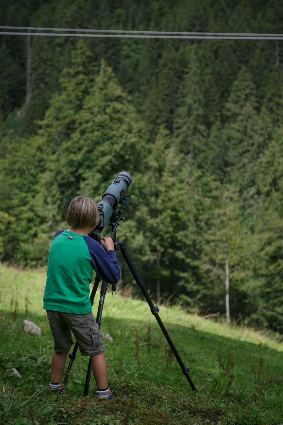
On the bear adventure trail in S-charl children learn everything they wanted to know about bears at 9 different posts: What they eat, what traces they leave behind, how good their noses are or how children must conduct themselves in bear territory.
Lauschen Sie den spannenden Informationen von German Lötscher und Arthur Meichtry. An jedem Trog erzählt ihnen Susanne Hugo eine lokale Wassersage.