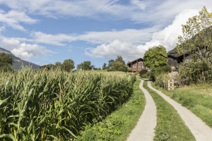
UNESCO Biosphäre Entlebuch
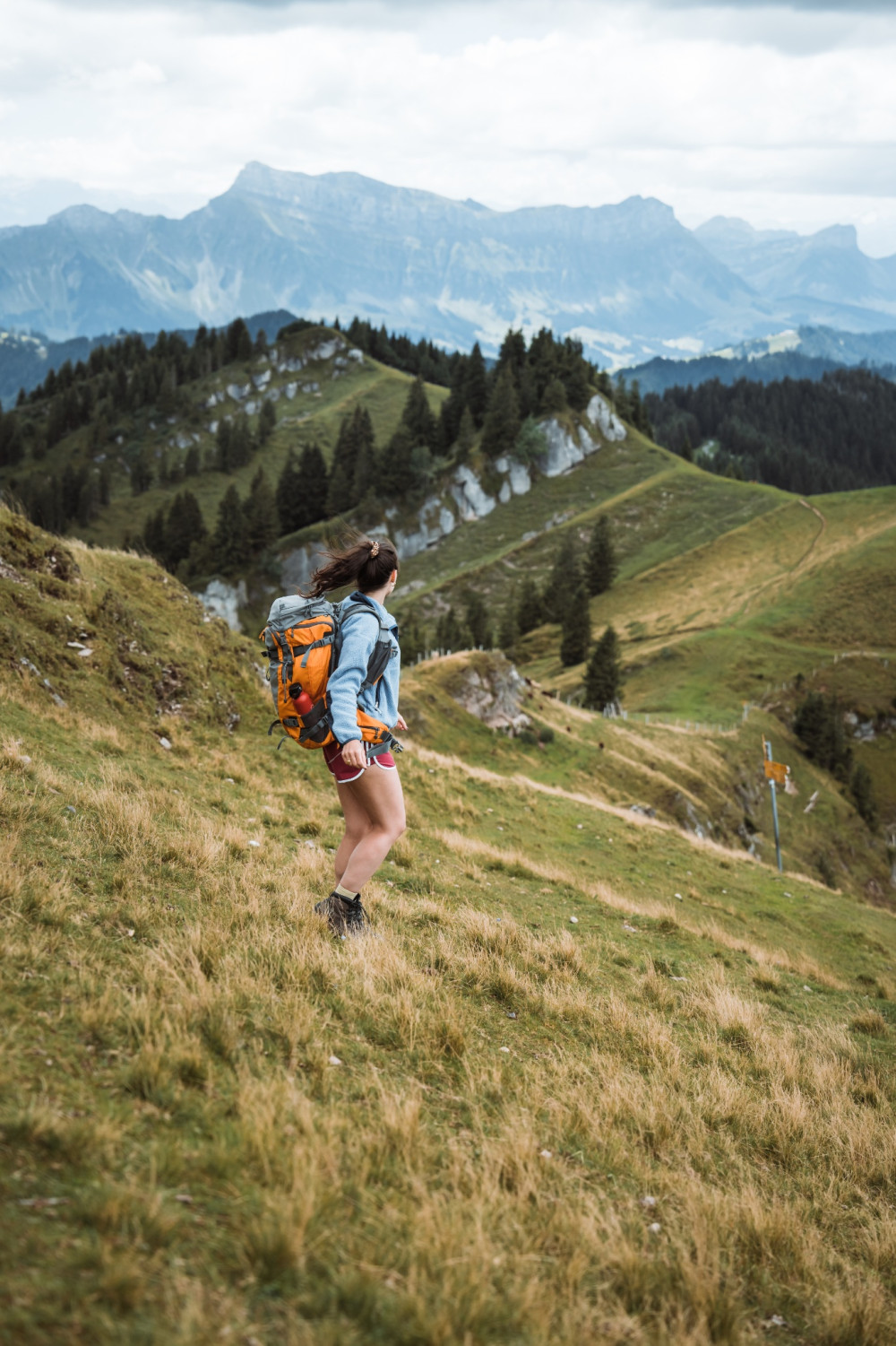
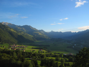
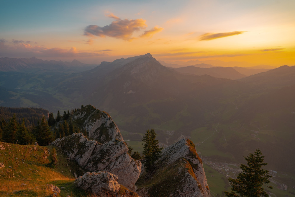
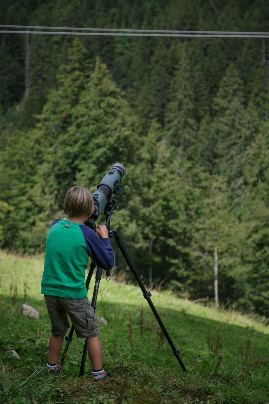
Entlebuch Emmental High Route Stage 1: Doppleschwand - Obstaldenegg
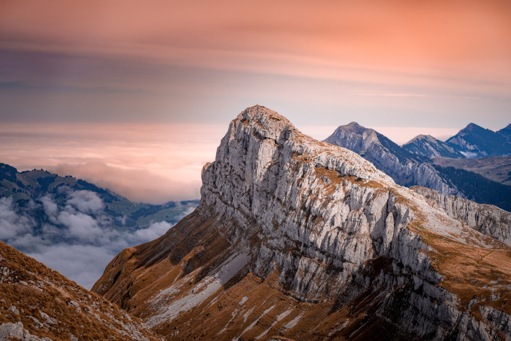
View of majestic mountain panoramas.
Hiking trail
Time required: 3 hours 7 minutesLength: 9.95km
Swiss Parks Network
Monbijoustrasse 61
CH-3007 Berne
Tel. +41 (0)31 381 10 71
Mob. +41 (0)76 525 49 44
info@parks.swiss

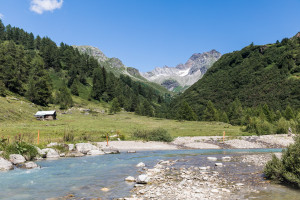
View of majestic mountain panoramas.
This walk leads from the old village center of Ernen to the Mosshubel and then to Mühlebach. Via the old village center of Mühlebach and the panoramic trail, you return to Ernen. A detour to the suspension bridge is worthwhile.
This short circular walk leads from Ernen Mühlebach across the suspension bridge to Fiesch. From there, it continues towards Niederernen and back to Ernen.
This hike takes us along the Chapel Trail to Uf en Egga. Enjoy the beautiful panoramic view over the Rhone Valley there. From there, it's all downhill towards Ausserbinn.
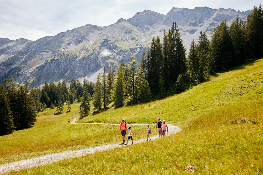
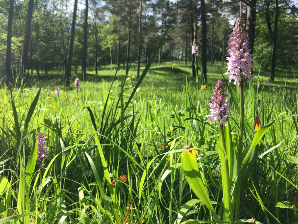
If you are looking for a hike in the midst of nature, this route is just right. Enjoy the peace on this hike through flowery alpine meadows, cool forests, and swampy moorlands.
The trail connects the two villages Estavannens and Grandvillard. In the latter the house of Banneret is located, which was built in 1666.
The hike starts in the hamlet of Fäld and first leads across mountain meadows and through the forest to the Eggerebode.
Two-day hike: The hike leads through the old hamlet of Fäld to the Albrun Pass, crossing the Italian border to Crampiolo, and back to Fäld via the Geisspfad Pass.
This path is on the old mule-driver route through the Albrun pass, which connects Binntal with the italian valleys of Ossola.
This circular hike takes you from Fäld up to the lush meadows of the Binn Alps on the right, and on the other side of the valley, between partially shady forests, back to Fäld.
Manibode, Mässerbach and Mässersee and are among the most impressive landscapes in the park.
A visit to Erlenhof makes this hike an experience for the whole family.
Ridge hike with gorgeous view and numerous places to stop for refreshments.
Ridge walk followed by a steep descent to the wild animals in Langenberg.
From Gros Mont to Charmey, via La Monse
From the Gros Mont to the Intyamon
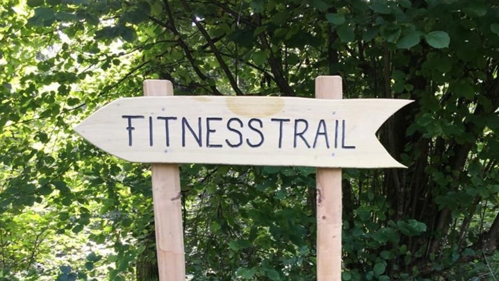
Forget everyday stress and let your soul dangle - the fitness trail brings together people, nature, and movement at 15 different stations.
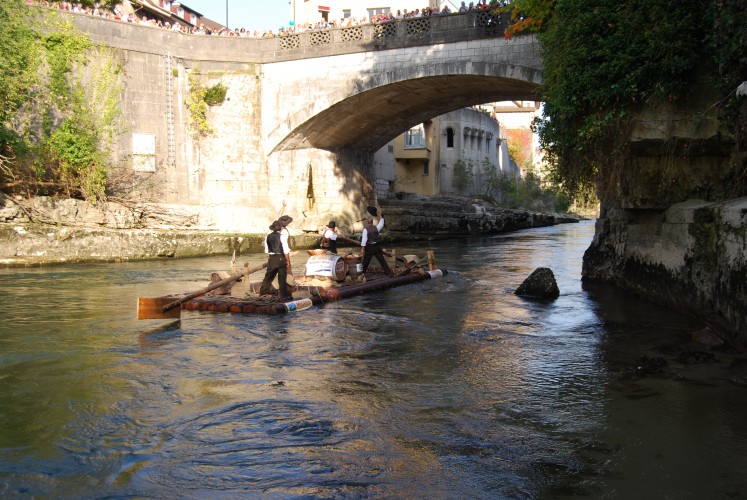
Follow the path once taken by the rafters: The first stage leads from Laufenburg to Hottwil.
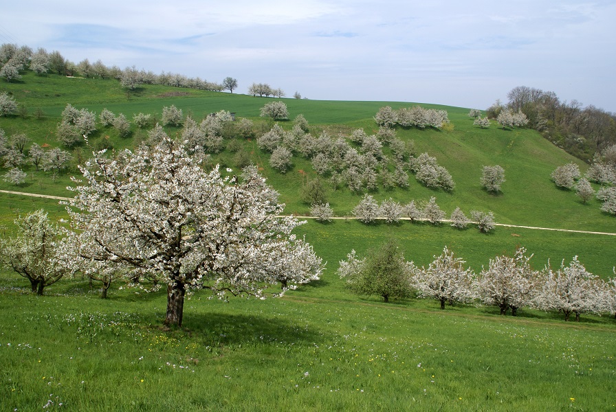
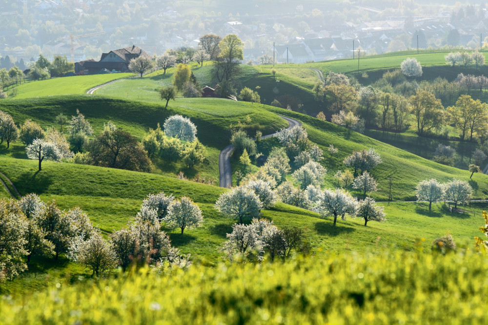
A botanical circular route on the Rossweid
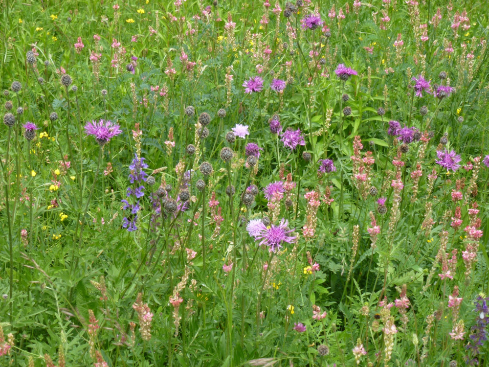
On this stroll through the diversity of meadows in Küttigen in Jurapark Aargau, you can discover the plant world around you with the Flower Walks app.
On this trek through the tufted hairgrass pine forests in Jurapark Aargau, you can discover the plant world around you with the "Flower Walks" app.
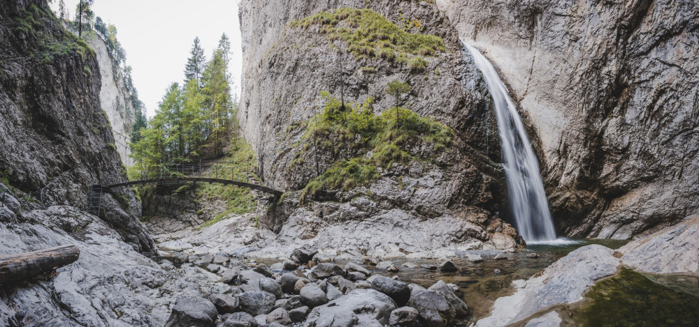
Adventurous circular hike to the Chessiloch waterfall and the impressive Chessimätteli suspension bridge - the longest suspension bridge in the UNESCO Biosphere Entlebuch.
From Flühli to Hengst
Circular route from Flühli via Schwändleifluh back to Flühli
On the Forest Nature Trail you get to learn the secrets of the forest, and in a creative and imaginative way you come into contact from head to toe with the Sihlwald.
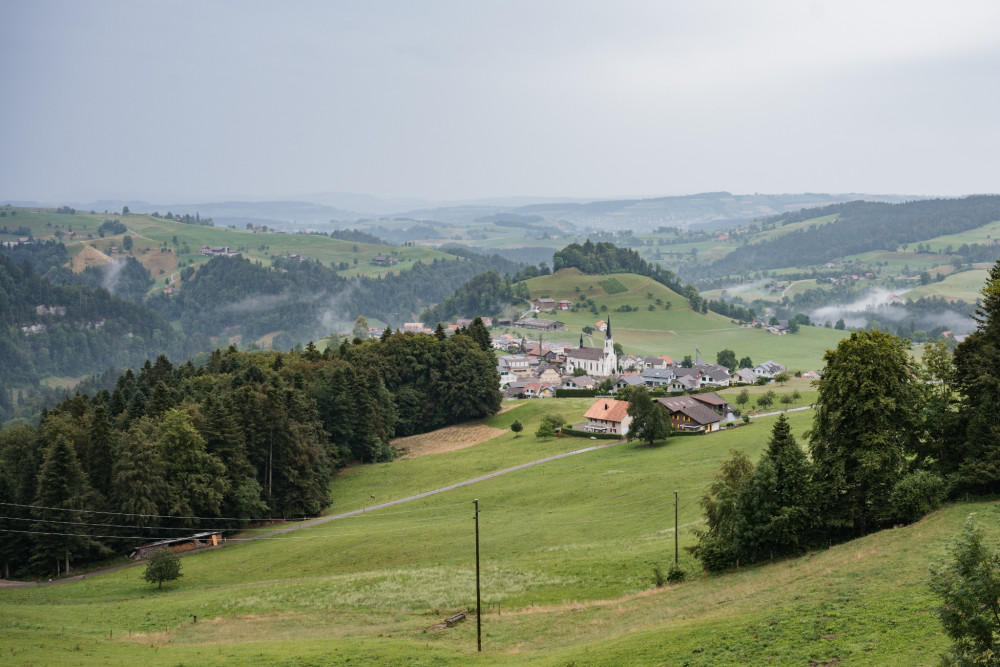
The route mostly follows the Senselauf from Plaffeien to Schwarzsee.
The Fricktal High Route - 60 well-marked hiking kilometers that enchant in every season!
The Fricktal High Trail - 60 well-marked hiking kilometers that enchant in every season!
On the way from Frick to Sennhütten, the path leads through woodland, cool forests, and past historical boundary stones.
From the historic Zähringer town of Rheinfelden through green forests up to the Sonnenberg Tower – those who enjoy leisurely hiking are exactly right on the Fricktal Höhenweg.