


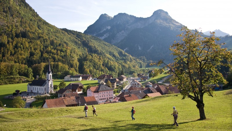
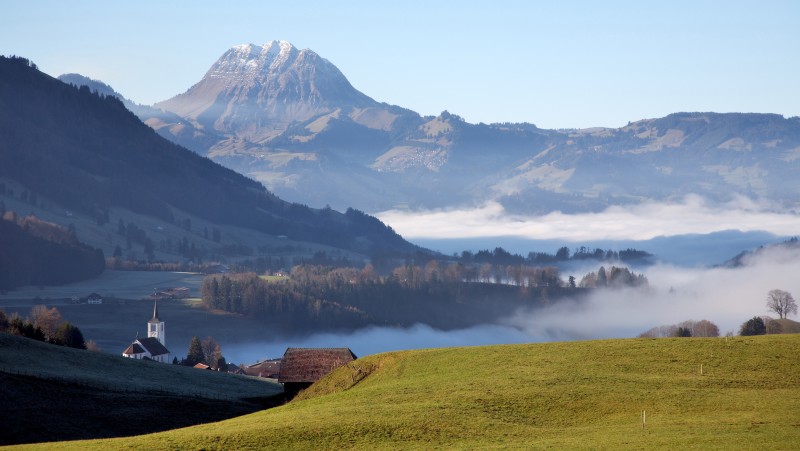
Via Le Gruyère AOP
Theme trailHiking trailOther routes
Time required: 16 hoursLength: 51.00 km
Parc naturel régional Gruyère Pays-d'Enhaut - Walks through the park - between villages and valleys on a tour of discovery to the pearls of its historical heir, on the trail of cheese. The new app, the cheese trails, is your companion!
Route-information
Route-information
- Length
- 51.00 km
- Amount untarred route
- 10.00 km
- Vertical heigth
- 1000 m
- Altitude difference ascent
- 1000 m
- Altitude difference descent
- 950 m
- Time required
- 16 hours
- Level technique
- Easy
- Level condition
- Easy
Height profile view map
Details
Arrival
Arrival
- Starting point
- Les Avants (Altitude: 968 m)
- Arrival by public transport
- Les Avants Timetable SBB
- Destination
- La Valsainte (Altitude: 1016 m)
Suitable for
The offer is suitable for
- Adults
- Children from 7-12 years
- Children >12 years
- Families

Season
All season
Contact
Parc naturel régional Gruyère Pays-d'EnhautPlace du Village 6
1660 Château-d'Œx
Tel. +41 (0) 26 924 23 33
www.gruyerepaysdenhaut.ch