

Flühli - Hilfern Pass - Toregg - Hengst
UNESCO Biosphäre Entlebuch - From Flühli to Hengst
The route starts in the village of Flühli in Entlebuch and initially leads over alpine paths and meadow trails through typical pre-Alpine landscape. The steady ascent through light forest and open meadows leads to the Hilferen Pass, a traditional crossing between Escholzmatt and Flühli.
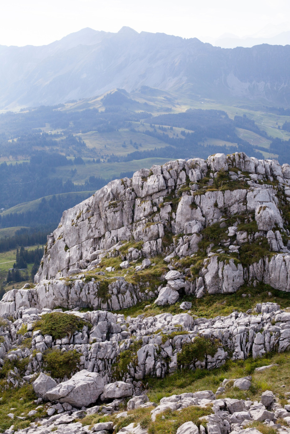
Behind the pass, the path crosses beneath the Strick, on sometimes narrow but clearly visible trail. The landscape is characterized by Schrattenkalk, rugged rock formations and alpine flora. Surefootedness is required on this section.
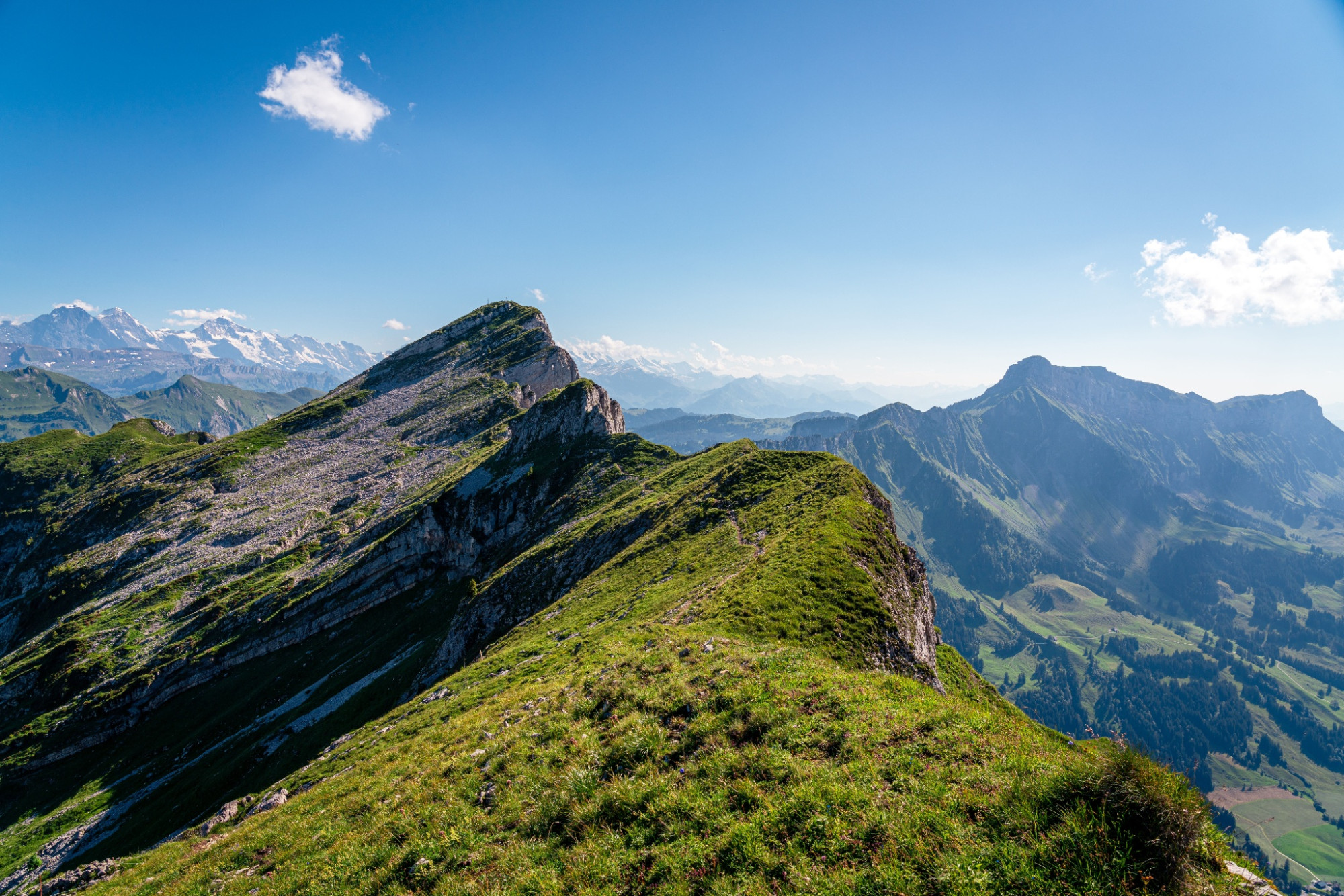
The final ascent runs over the open southeast flank of the Hengst and offers an increasingly wide view. The summit rewards with an impressive panoramic view over Entlebuch, the Central Swiss Alps as well as the Swiss Plateau.
Route-information
Route-information
- Length
- 9.71 km
- Altitude difference ascent
- 1360 m
- Altitude difference descent
- 172 m
- Time required
- 5 hours 10 minutes
- Level technique
- Middle
- Level condition
- Hard
Details
Equipment / Equipment rent
Good footwear, a rain jacket & enough drinking water for the way belong to every hike.
More tips for safe hiking, information about suckler cow herds and guardian dogs and much more can be found on the website of the Swiss Hiking Routes.
Arrival
Arrival
- Starting point
- Flühli Dorf
- Destination
- Hengst
Suitable for
The offer is suitable for
- Adults

Season
June, July, August, September, OctoberContact
Rothornstrasse 21
6174 Sörenberg
T +41 (0)41 488 11 85
www.soerenberg.ch