Hike Anger (Zwischenflüh)-Turne-Diemtigen
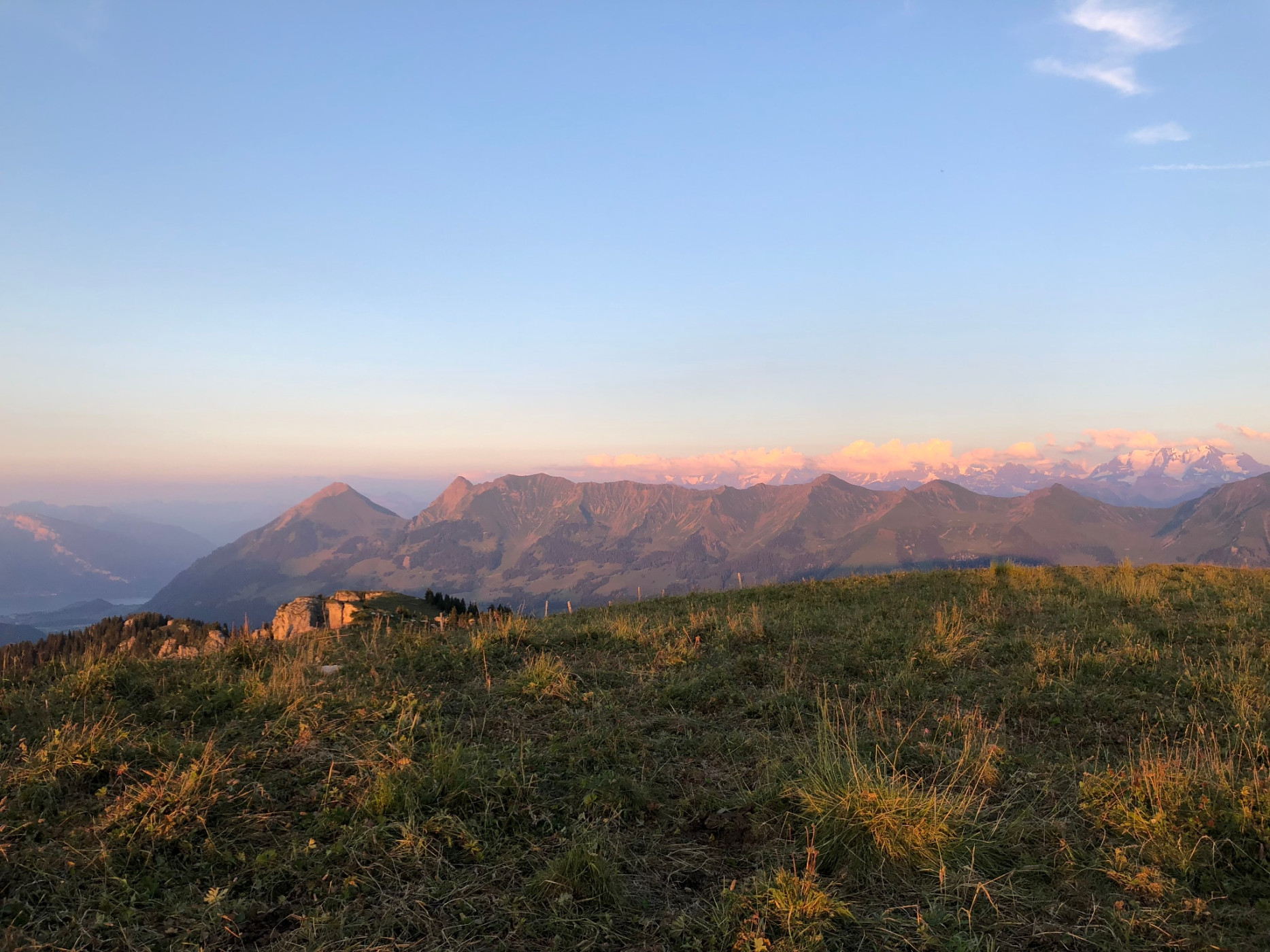
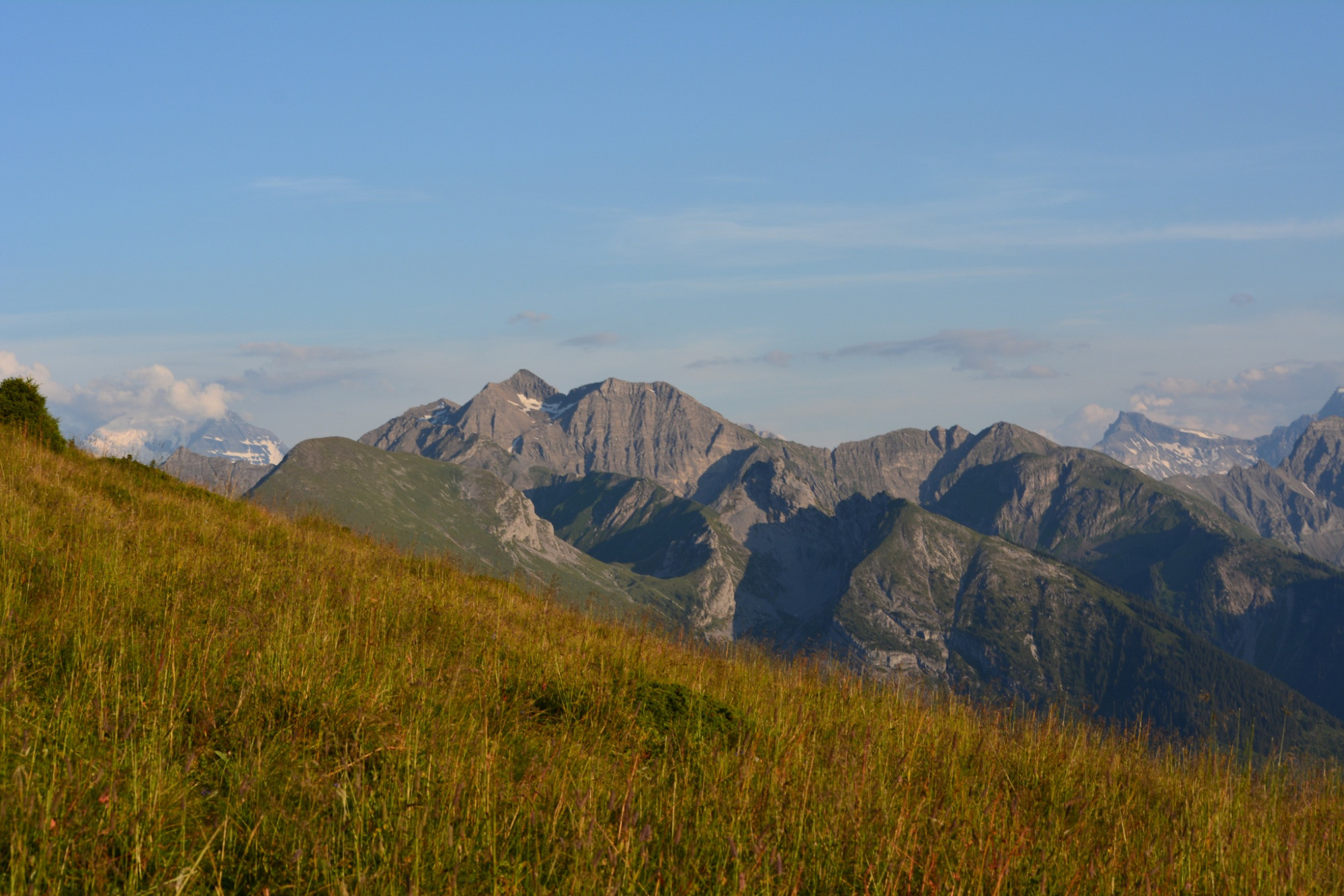
Naturpark Diemtigtal - You start at the Anger cattle showground and climb almost 1000 metres in altitude on this day. The climb to the Turne is definitely worth it, because the panoramic view is unique.
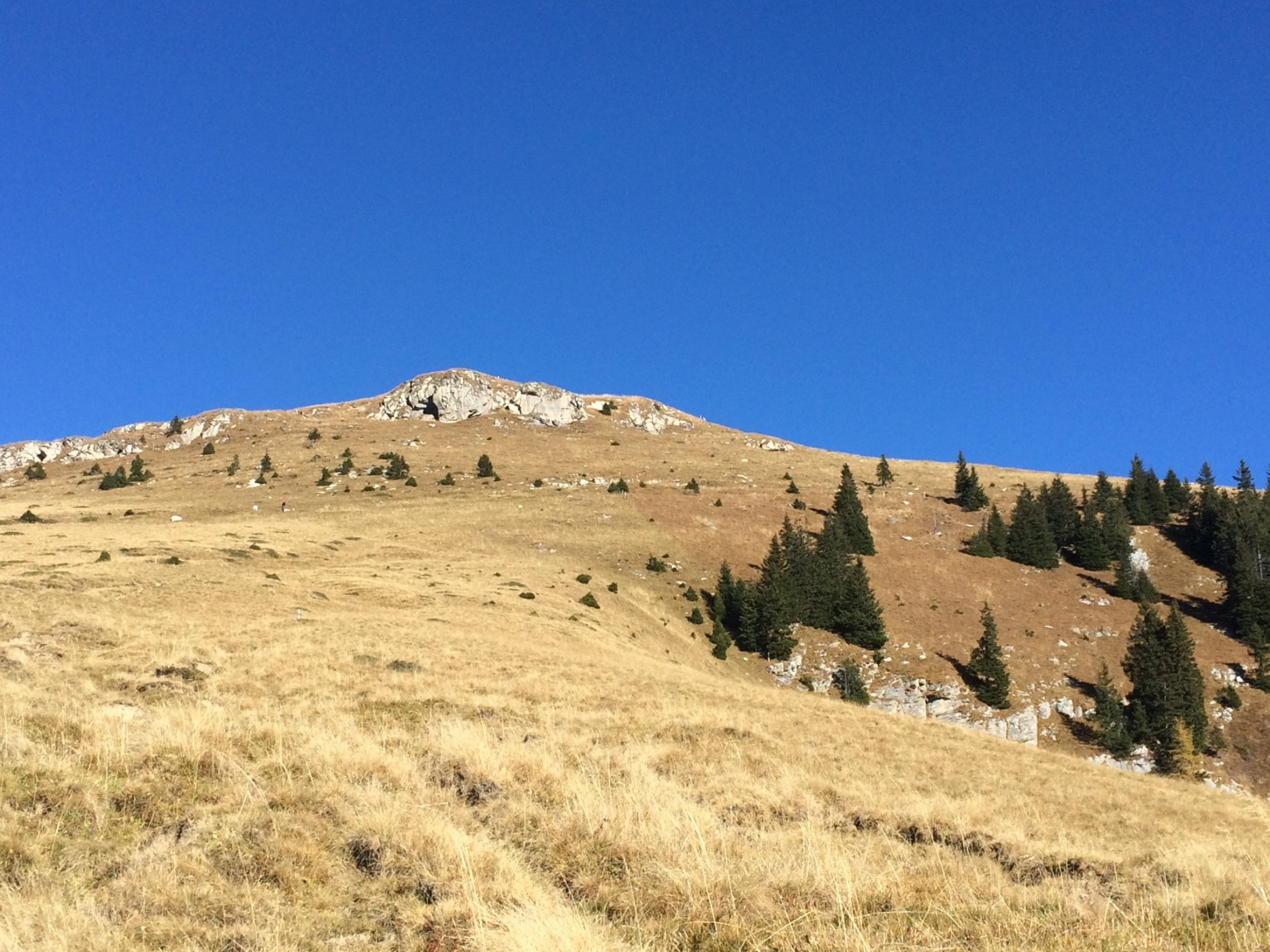
The PostBus takes you comfortably from Oey-Diemtigen to the starting point, the Anger cattle showground in Zwischenflüh. From here, the hiking trail leads up towards the Seeberg lake, whereby you hike along a section of the mountain road towards Meniggrund. Shortly afterwards, however, you take the well-maintained hiking trail again, up to Tärfete, where you quickly gain height. The view is already brilliant here, but the highlight, the Turne, is still to come. The panoramic view on the Turne is simply unique and a fine lunch from the rucksack is just what you need.
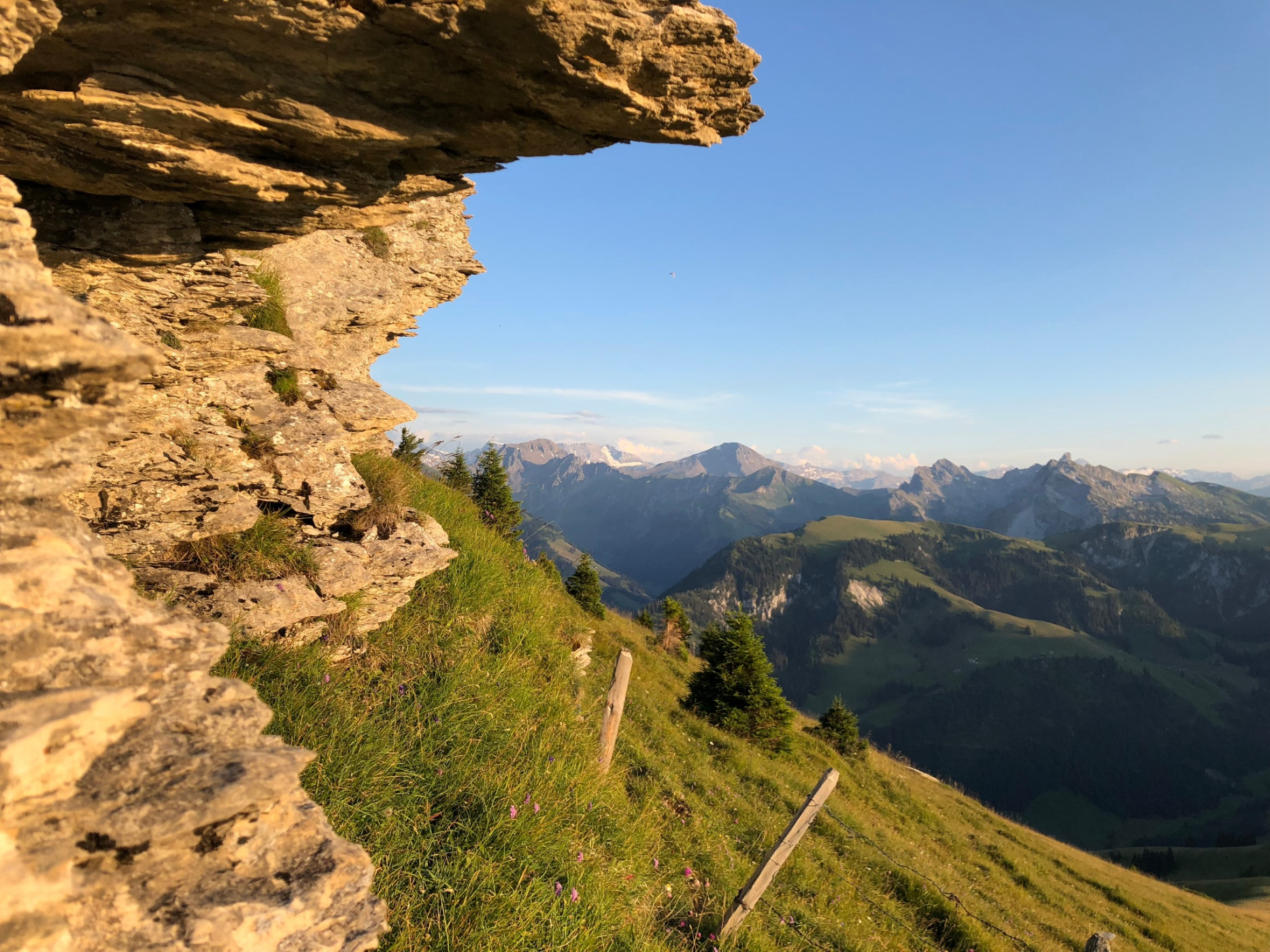
As soon as you have had your fill, you start the descent via the "Pfaffe" to the "Rinderalp". Here you can fortify yourself with a fine coffee and local products. Via Alp Tschuggen - where you can also taste and buy products from the alp - you hike further downhill to the village of Diemtigen to the PostBus stop. Optionally, you can also hike the last section to Oey-Diemtigen railway station, which will take you an additional 30 minutes.
Route-information
Route-information
- Length
- 15.20 km
- Altitude difference ascent
- 998 m
- Altitude difference descent
- 1246 m
- Time required
- 5 hours 35 minutes
- Level technique
- Easy
- Level condition
- Middle
Details
A hiking map is available from the Diemtigtal Nature Park office.
Diemtigtal Nature Park
Bahnhofstrasse 20
3753 Oey
Phone 0041 33 552 26 00
info@diemtigtal.ch
www.diemtigtal.ch
Important links
> Timetable
> Rinderalp mountain restaurant (German only)
Equipment / Equipment rent
Good mountain boots, clothing appropriate to the weather (sun/rain protection), hiking poles if necessary, binoculars if necessary, first-aid kit, rucksack with food and enough drinks for the journeySafety advices
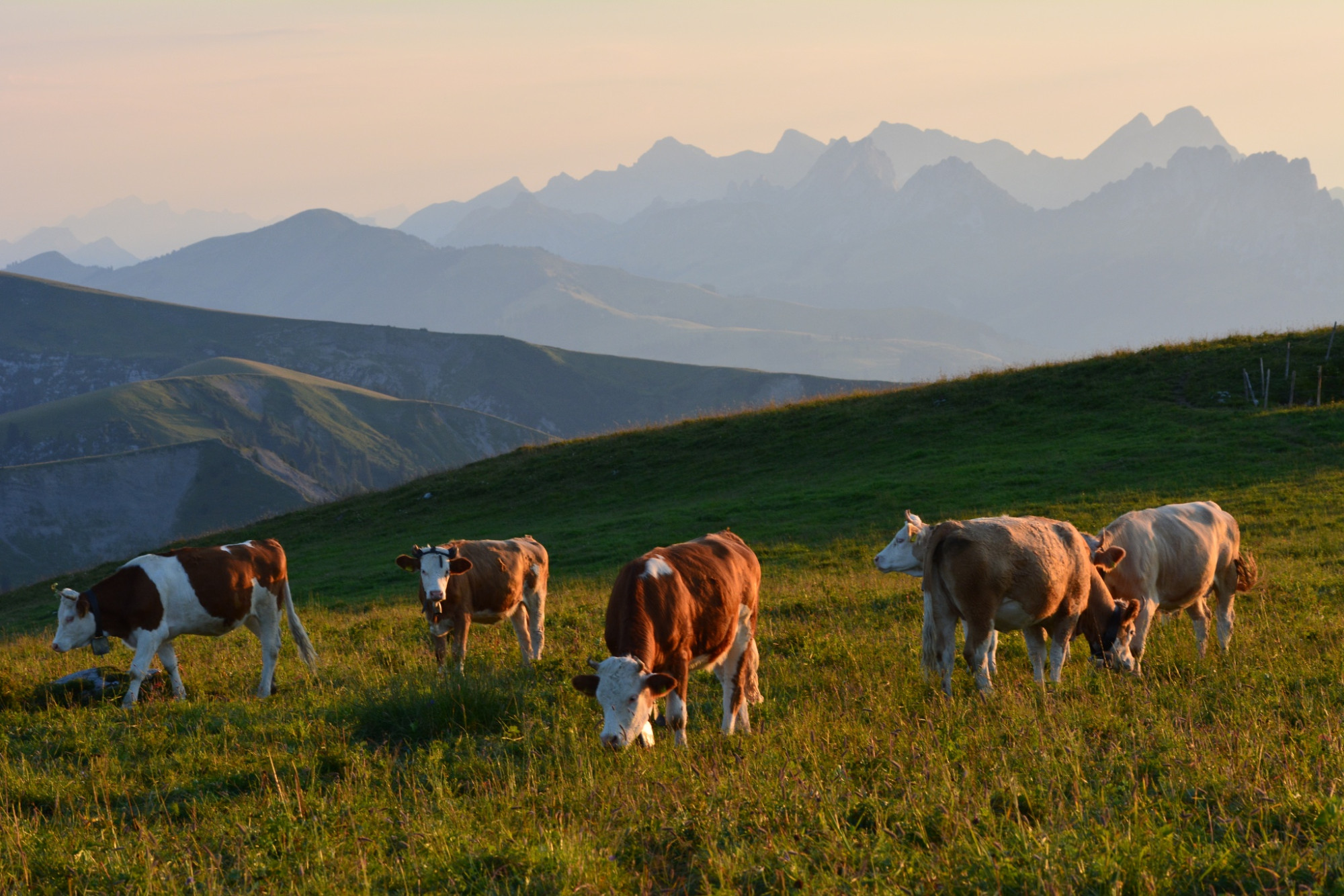
Your hike will take you through a variety of pastures - always keep your distance from the four-legged alp inhabitants.Signalization
From the livestock showground take the hiking trail towards lake Seeberg. After a short ascent, the hiking trail runs along the mountain road towards Meniggrund. After a short stretch, follow the hiking trail towards "Tärfete", where you will quickly gain altitude. You pass "Vordertärfete" and in "Hintertärfete" you continue on the hiking trail towards "Turnen". For the descent, you go down via "Pfaffe" to "Rinderalp", then via "Alp Tschuggen" to "Diemtigen". From there, the PostBus takes you back to Oey-Diemtigen station. If the timetable doesn't work out, you can also reach the village of Oey on foot (approx. 30 min., not included in the hiking time).Arrival
Arrival
- Starting point
- Viehschauplatz Anger, Zwischenflüh
- Arrival by public transport
- Zwischenflüh, Anger Timetable SBB
- Destination
- Dorf Diemtigen
Suitable for
The offer is suitable for
- Adults
- Children >12 years
- 50+