

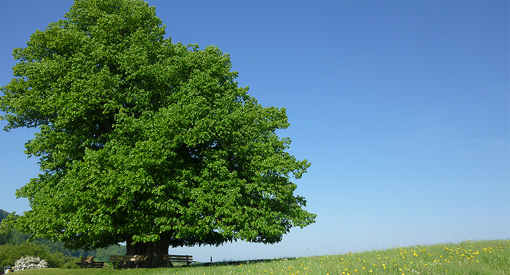
Hike "Linner Linde"
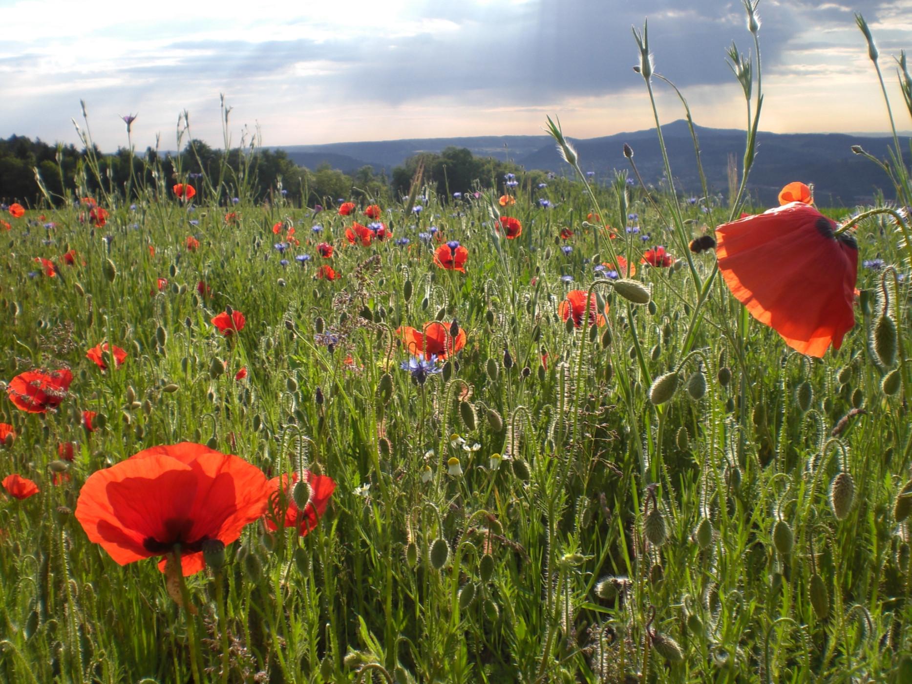
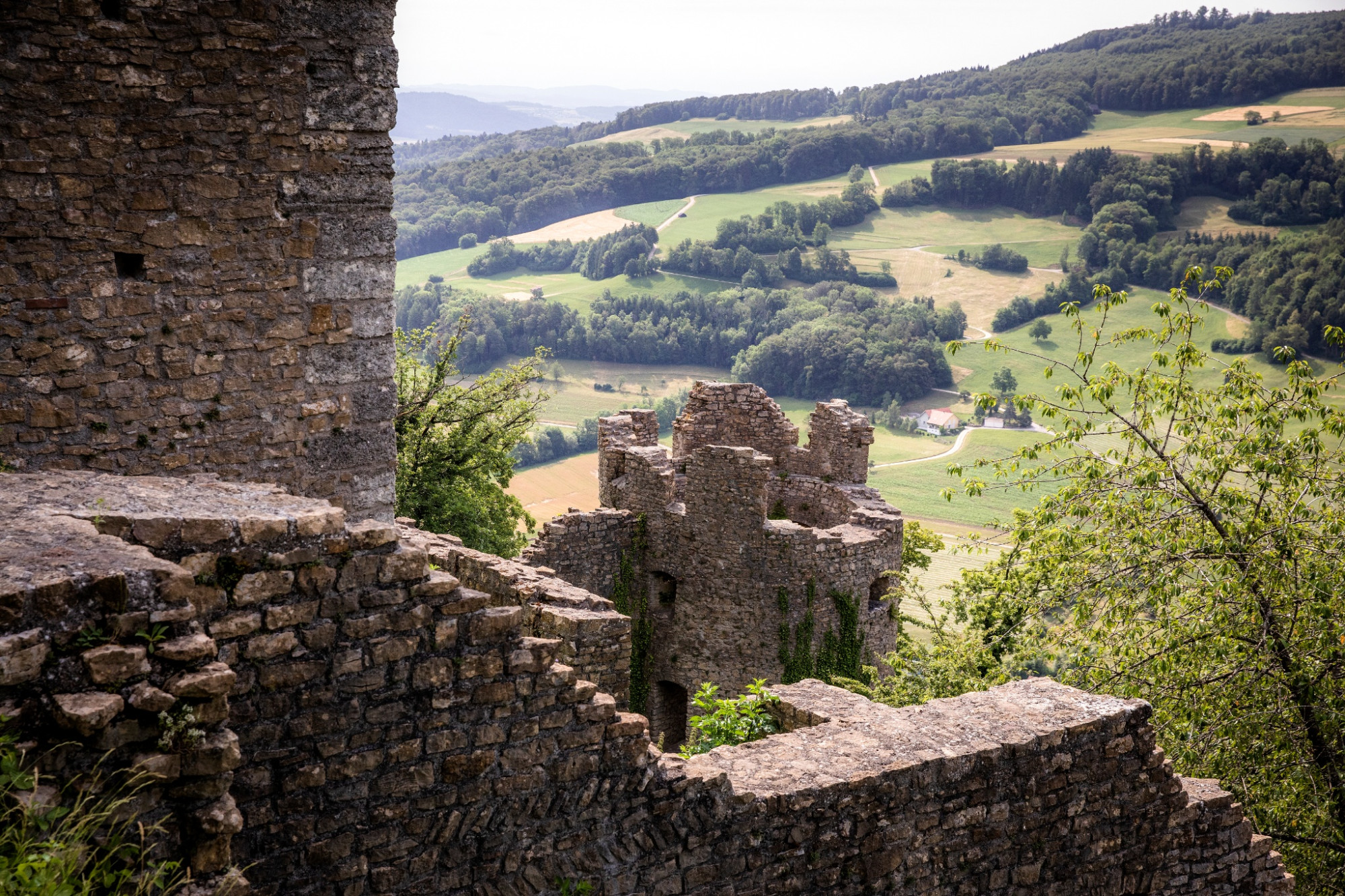
Jurapark Aargau - After the ascent to the Linnerberg with its magnificent view of the Alps, the "Linner Linde" hike leads over the Buechmatt to the Schenkenberg Ruins, the largest ruins in Aargau. From there, the route continues along a vineyard slope to the wine village of Thalheim.
The ascent to the Linnerberg is just under 200 meters in elevation. At the highest point, you stand directly above the traffic tunnels of the highway through the Bözberg and enjoy a wonderful view of the Alps. Along the path, some old boundary stones appear that once separated the southern area of the lower jurisdiction of Kasteln and the northern area of the high bailiwick of Schenkenberg. At Buechmatt (669 m above sea level), there is an impressive view of the Jura heights. After a flat section, the path leads over a short, steep stretch to the Schenkenberg farms and then to the Schenkenberg Ruins, the largest ruins in Aargau. Around the castle hill or with a detour up to the old walls, the route leads along a vineyard downhill to the wine village of Thalheim. From there, a direct bus line quickly connects to Brugg.
Route-information
Route-information
- Length
- 9.37 km
- Altitude difference ascent
- 215 m
- Altitude difference descent
- 342 m
- Time required
- 2 hours 38 minutes
- Level technique
- Easy
- Level condition
- Middle
Details
Refreshments: Genuss-Strassen-Restaurant Wygärtli and Gasthaus Thalner Bär
Shopping: Jurapark Aargau office, Jurapark producer Hof Schenkenberg
Strollers & Accessibility: Further information on request.
Firepit: several fire pits along the way (see map)
Playground: At the former schoolhouse, opposite the Jurapark Aargau office.
Toilets: At the park office (accessible Monday-Friday, 9 am–12 pm and 2 pm–5 pm, not wheelchair accessible).
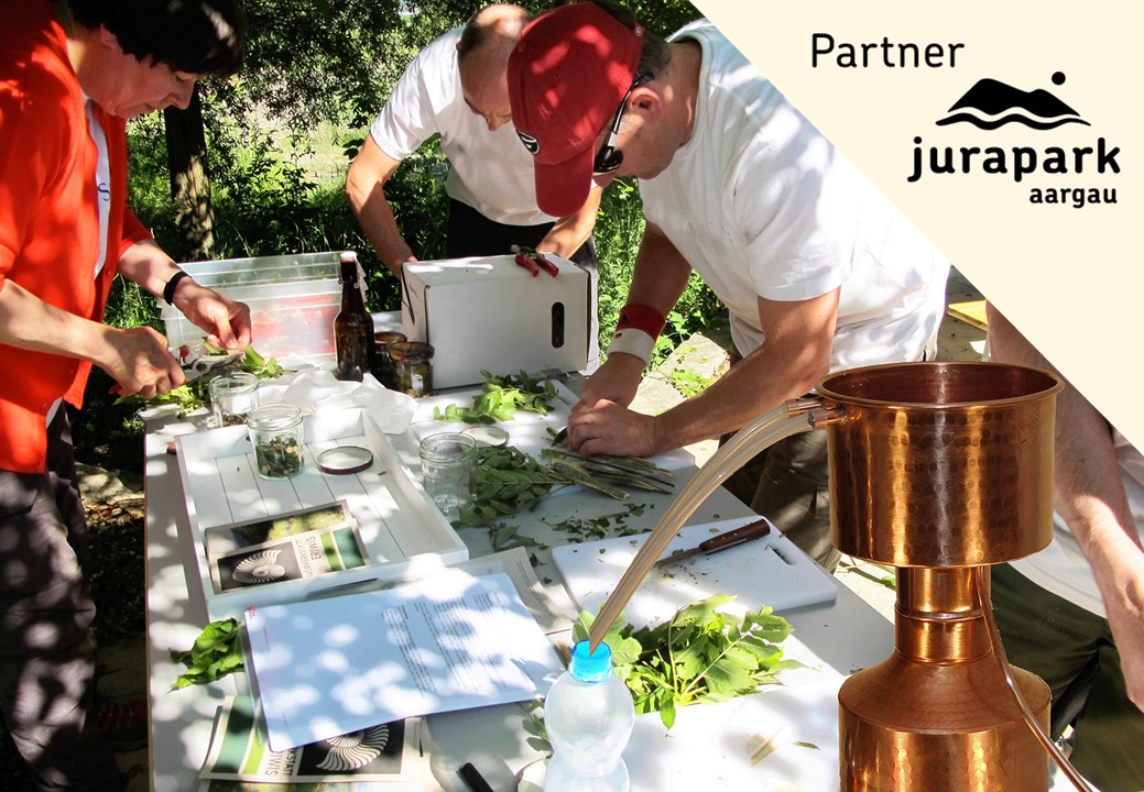
Bookable offers: A guided hike with a landscape guide can be booked at Jurapark Aargau.
Signalization
The hike initially follows the Jura ridge path and continues from Älmhard on the regular hiking trail towards Schenkenberg/Thalheim.
Arrival
Arrival
- Starting point
- Bözberg, Neustalden
- Arrival by public transport
- Bözberg, Neustalden Timetable SBB
- Destination
- Thalheim, Dorfplatz
Suitable for
The offer is suitable for
- Adults
- Children from 7-12 years
- Children >12 years
- 50+
- Families
Season
All season
Contact
Jurapark AargauJurapark Aargau Geschäftsstelle
Linn 51
5225 Bözberg
T 062 877 15 04
www.jurapark-aargau.ch