


Schüpfheim Farnere circular hike
UNESCO Biosphäre Entlebuch - Discover the diverse circular hike with a historic mule track and a great view from Schüpf's local mountain.
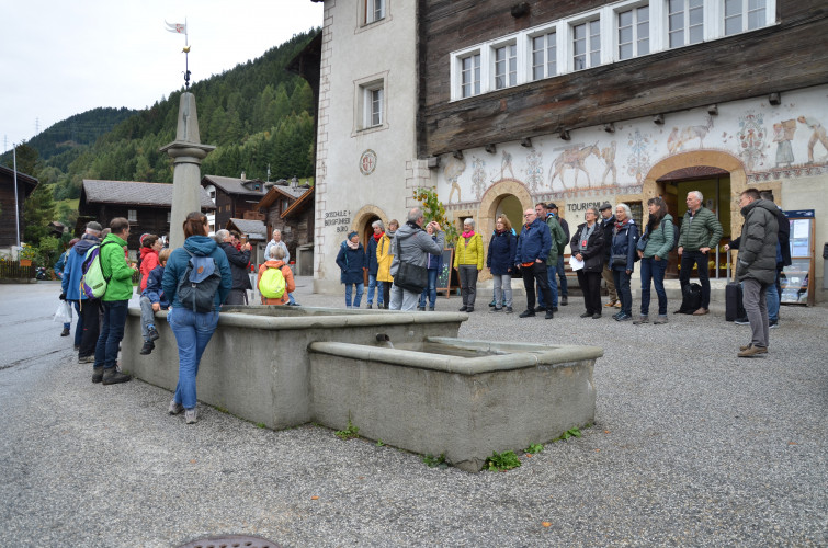
The hiking route starts directly at the station in Schüpfheim. From here, you walk along the street until you see the Wolfgang district on the right side in the bend. Cross the district and follow the path to Chlusboden.
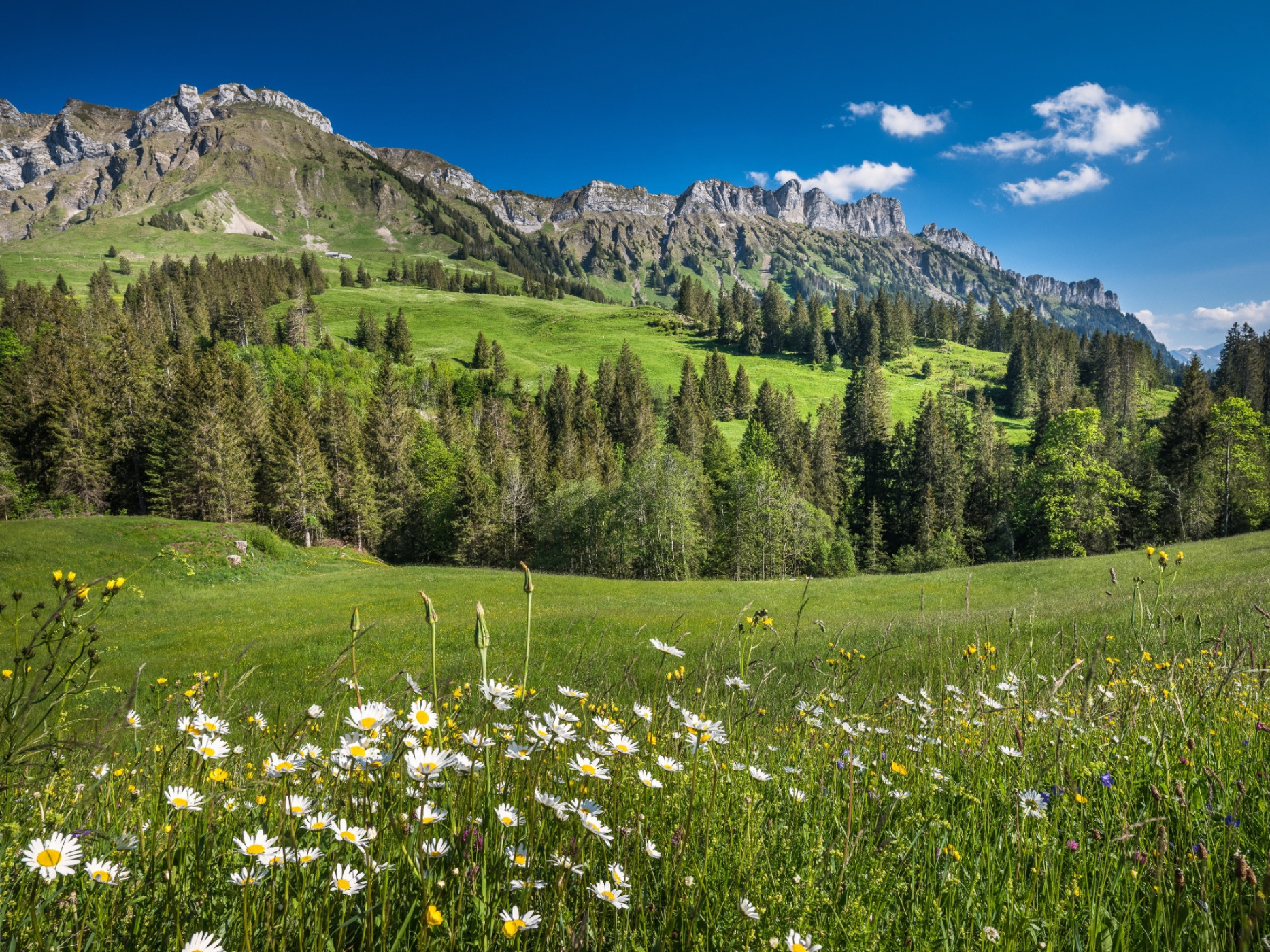
From here, you hike on the "old Fruttegg path". This was built in 1872/73 and can be described as one of the most outstanding road engineering monuments of the Entlebuch and the wider region. The construction of the alpine road meant a big investment for the private builders. It took place during a time when agriculture was in a major restructuring crisis; however, the cheese trade with its export business was hardly affected. The historic mule track with impressive dry stone walls leads you up to Fruttegg. Once at the top, continue the route to Farnere (1572m).
The two benches at the summit cross invite you to take a long rest break. You can choose to sit on the bench looking towards the protected forest and Schüpfheim, as well as the extensive Napf area, or look to the other side at the Entlebuch mountain world. The view sweeps from Risete over Schimbrig to the mountain range with Äbnistettenfluh, Schafmatt, and Schwändlifluh. Behind the Brienzer ridge, the trio Eiger, Mönch, and Jungfrau appears, and on the right side, of course, the Schrattenfluh and Beichle must not be missed. Fortunately, there is a panorama board at the summit cross where all summit names can be read and assigned.
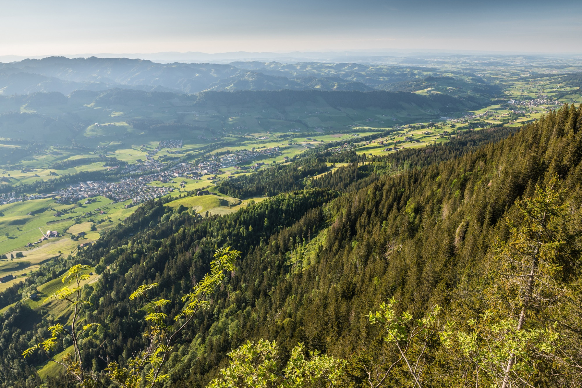
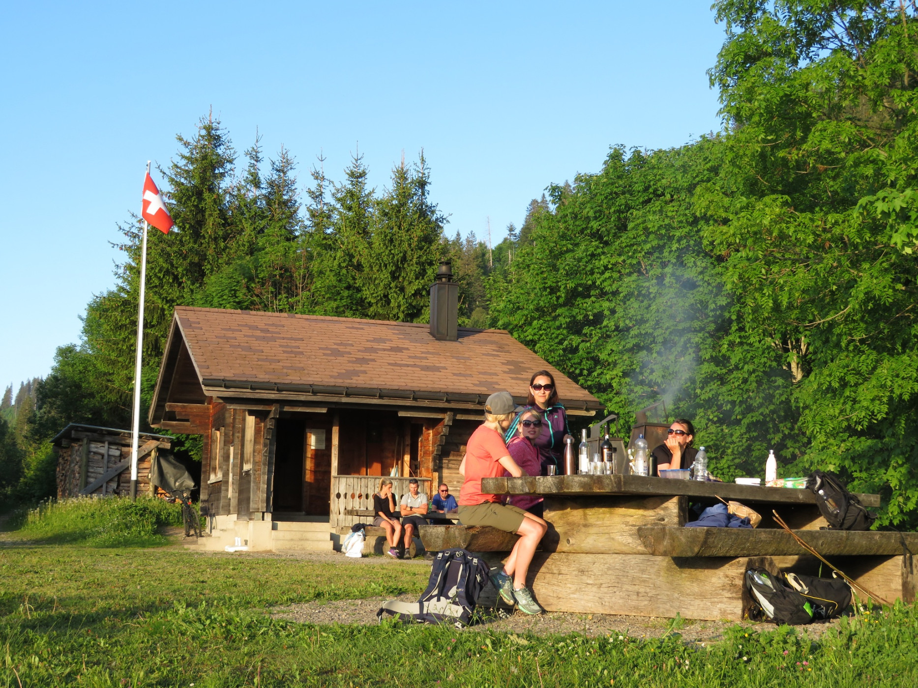
After resting, head zigzag uphill to Stolehüttli. Here, a grill area with firewood storage and a cozy shelter invites you to stay. Relax on one of the benches and enjoy the view of the village of Schüpfheim. From Stolehüttli, you hike steadily downhill until you are back in the village of Schüpfheim.
Route-information
Route-information
- Length
- 13.21 km
- Altitude difference ascent
- 856 m
- Altitude difference descent
- 856 m
- Time required
- 5 hours
- Level technique
- Easy
- Level condition
- Middle
Details
Schüpfheim Tourism
Bahnhofstrasse 16
CH-6170 Schüpfheim
Phone +41 (0)58 327 60 95
www.schuepfheim-tourismus.ch
Equipment / Equipment rent
Good footwear, a rain jacket & enough drinking water for the way are part of every hike.
More tips for safe hiking, information about suckler cow herds and livestock guardian dogs, and much more can be found on the Swiss Hiking Routes website.
Signalization
Schüpfheim station-Chlusbode-Fruttegg-Farnere-Stolen-Stolenhüttli-Schüpfheim station
Arrival
Arrival
- Starting point
- Schüpfheim Bahnhof
- Destination
- Schüpfheim Bahnhof
Suitable for
The offer is suitable for
- Adults
- Children from 7-12 years
- Children >12 years
- 50+

Season
Mai, June, July, August, September, OctoberContact
UNESCO Biosphäre EntlebuchBiosphärenzentrum UNESCO Biosphäre Entlebuch
Chlosterbüel 28
6170 Schüpfheim
T +41 41 485 42 50
www.biosphaere.ch