


Ze Binne - Breithorn - Heiligkreuz - Ze Binne
Landschaftspark Binntal -
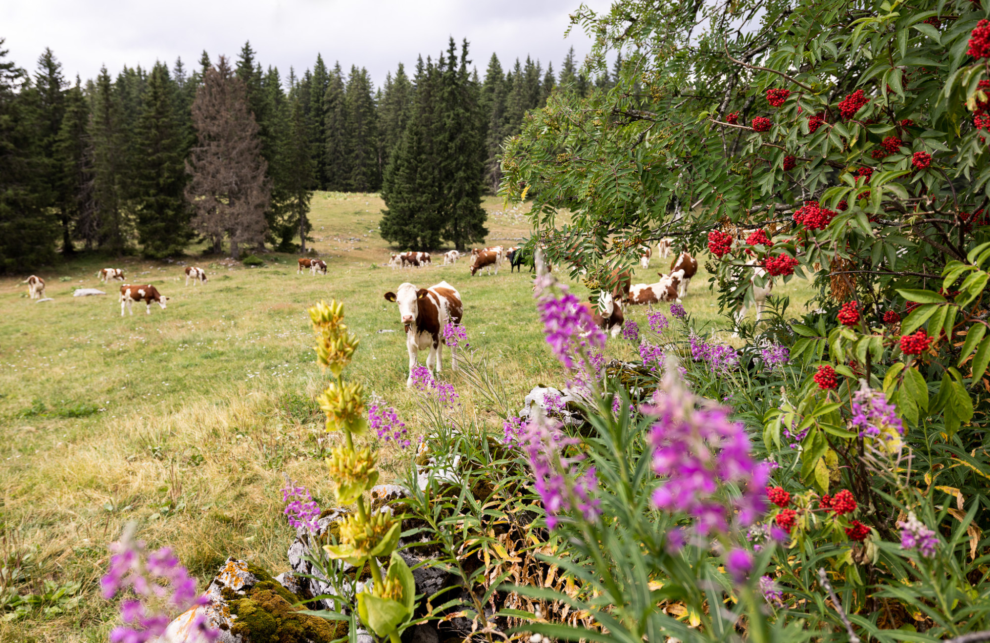
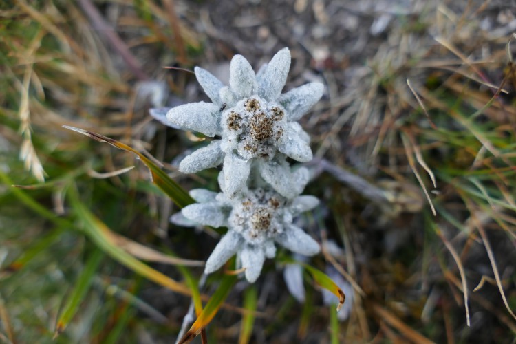
The route then crosses the tree line and steadily ascends to the cross. Subsequently, the path flattens out and leads more gently to the Furggerchäller Alpine pasture, from where there is a final ascent to the Breithorn. The extremely barren, gently undulating landscape on the ridge almost resembles a lunar landscape. The vegetation is very low and resembles a tundra. With a bit of luck, edelweiss in bloom or the rare Red-billed Choughs can be observed. In any case, the fantastic panoramic view from the Breithorn is worth the visit, from where one can see on one side the Bernese Alps and on the other side Italy, overlooking the Goms and the Binntal valley. The return journey is in a loop back to the Furgerchäller Alpine pasture and then descends to the lower Sickerchäller pasture. From there, the path follows the Saflischbach to the pilgrimage site of Heiligkreuz. Along the pilgrimage route, the route leaves the Lengtal to return to Heiligkreuz.
Route-information
Route-information
- Length
- 20.00 km
- Altitude difference ascent
- 1473 m
- Altitude difference descent
- 1473 m
- Time required
- 7 hours 45 minutes
Details
Signalization
white - red - whiteArrival
Arrival
- Starting point
- Ze Binne (Altitude: 1351 m)
- Arrival by public transport
- Binn, Langthal Timetable SBB
- Destination
- Ze Binne (Altitude: 1351 m)
Suitable for
The offer is suitable for
- Adults
- Children >12 years


Season
July, August, September, OctoberContact
Tourismusbüro BinnLandschaftspark Binntal
Dorfstrasse 11
3996 Binn
T +41 27 971 50 50
www.landschaftspark-binntal.ch