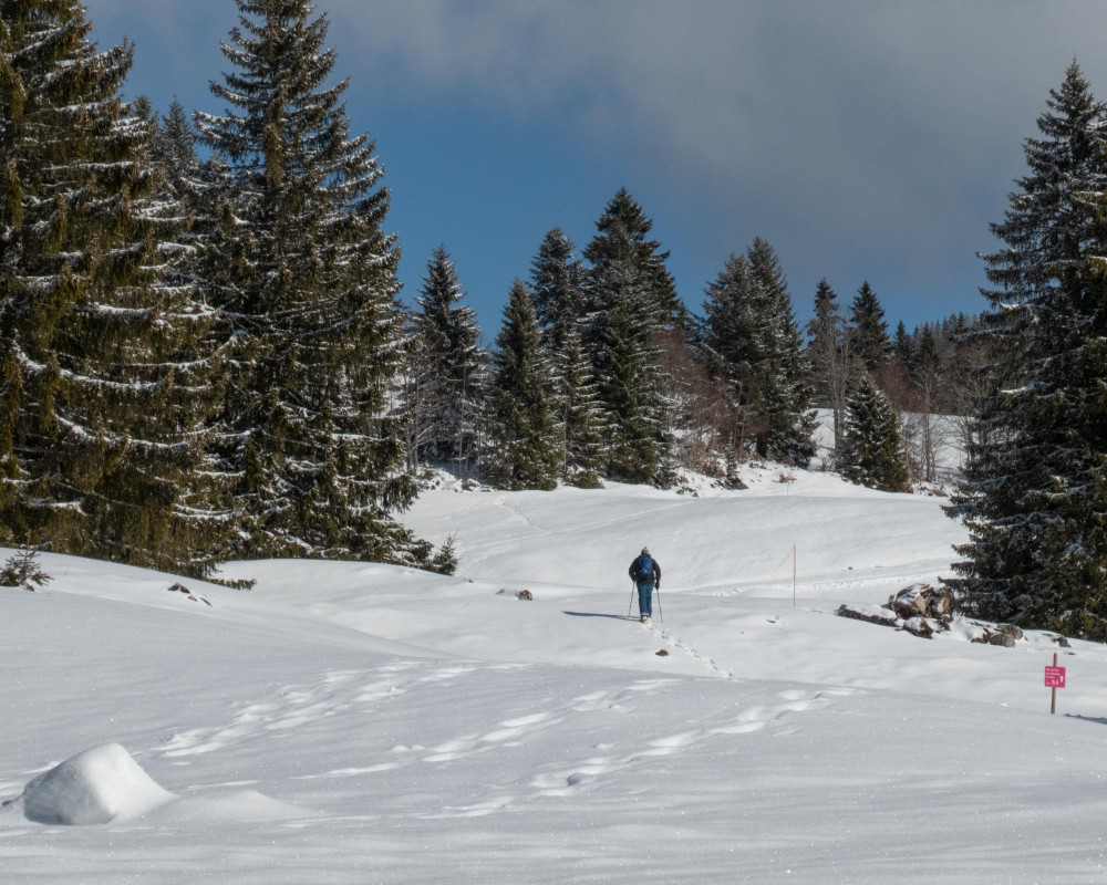
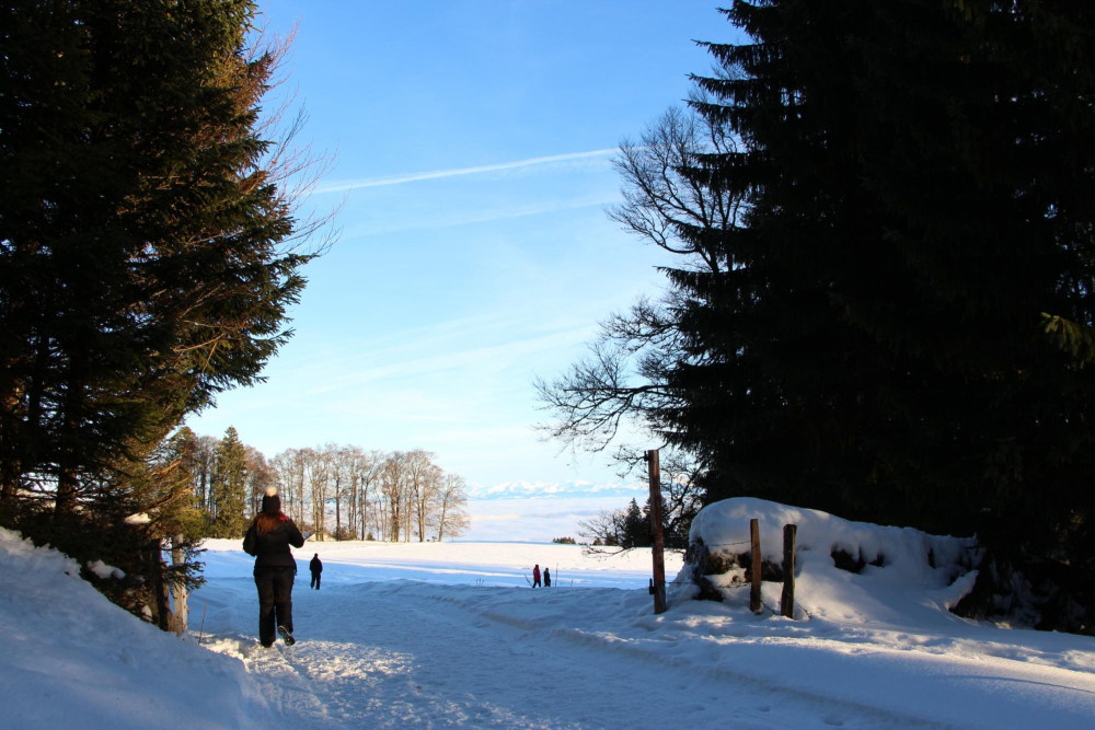
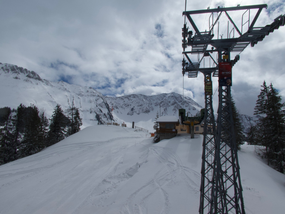
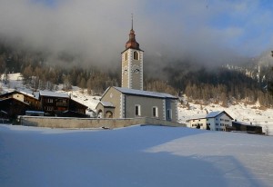
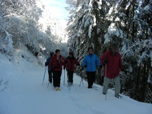
Naturpark Thal
Nordic Zentrum Weissenstein
Langlaufloipen klassisch und skating, markierter Schneeschuhtrail, Winterrundwanderweg, zwei Schlittelpisten (die eine besonders schneesicher), drei Restaurants... Das ist der Weissenstein!
Für den Loipenbericht: http://www.weissensteinsolothurn.ch/
Snowshoe routeWinter hiking pathCross-country ski routeSledging trail
Time required: 1 hourLength: 6.00km
Hint
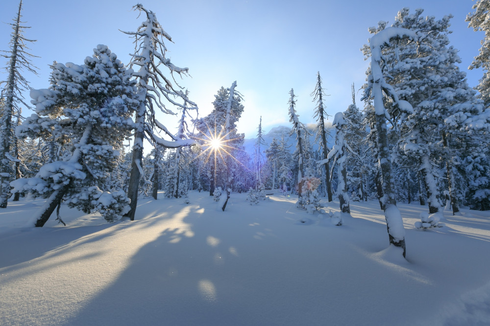
Naturpark Pfyn-Finges
Oberems snow-shoe trail
Enjoy the peace in the enchanted forest
A circular snow-shoe trail Oberems village –"Saniklois" shrines-Griebjistrasse-Ärdju-Raaftstrasse-Holz-village.
Snowshoe route
Length: 4.50km
Naturpark Pfyn-Finges
Oberems-Bort Snow-shoe Trail
The easy snow-shoe walk for everyone: Oberems village-Gajinen-Widubrunnu-Bielen-Mittelems-Bort-Oberems village.
Snowshoe route
Length: 3.00km
Naturpark Gantrisch
Obergurnigel Trail (SchweizMobil 114)
The scenic trail connects the historic Gurnigelbad with the Gurnigel Pass. The ridge walk on the Obere Gurnigel offers magnificent panoramic views towards the Bernese Oberland, the Mittelland, and back to the Gantrisch range.
Snowshoe route
Time required: 2 hours 5 minutesLength: 6.48km
UNESCO Biosphäre Entlebuch
Panorama circular route in Sörenberg
Enjoy the easy hike on the sunny side of Sörenberg with wonderful views of the village and the surrounding mountain world.
Winter hiking path
Time required: 1 hour 15 minutesLength: 3.70km
Parc naturel régional Jura vaudois
Parcours Col du Mollendruz–La Bréguettaz
Die Bréguettaz-Route ab dem Col du Mollendruz, der das Genferseebecken mit dem Vallée de Joux verbindet, ist ideal für Familien. Auf halber Strecke kann man im gleichnamigen Chalet-Restaurant zu einer kulinarischen Pause.
Snowshoe route
Time required: 1 hour 35 minutesLength: 4.00km
Parc naturel régional Jura vaudois
Parcours de l’Archette
The Archette snowshoe trail is a circular route starting at the village of St-Cergue, taking you through snowy forests, with fantastic views of the Alps and Lake Geneva.
Snowshoe route
Time required: 2 hoursLength: 4.00km
Parc naturel régional Jura vaudois
Parcours La Givrine–La Cure
Der Schneeschuhwanderweg vom Col de la Givrine bis nach La Cure an der Grenze zu Frankreich bietet die Gelegenheit, friedliche Naturlandschaften mit Weiden und Wäldern sowie einen herrlichen Panoramablick auf die Alpenkette zu entdecken.
Snowshoe route
Time required: 2 hours 45 minutesLength: 7.00km
Naturpark Gantrisch
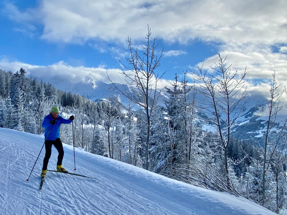
Pfyffe route
Short and challenging route for advanced cross-country skiers starting from Schutzhütte Süftenen with the sharp climb "Pfyffe", the steepest in the Gantrisch cross-country ski center.
Cross-country ski route
Time required: 1 hour 10 minutesLength: 4.77km
Parc naturel régional Jura vaudois
Piste de la Tourbière
Die Rundloipe La Tourbière führt zu den Fruitières de Nyon und erschliesst die weiten Juralandschaften an der Grenze zu Frankreich. Die leichte, abwechslungsreiche Strecke begeistert mit Panoramablicken bis zum Mont Blanc.
Cross-country ski route
Time required: 1 hourLength: 9.00km
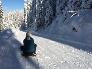
Parc naturel régional Jura vaudois
Piste de luge du Marchairuz
The Col du Marchairuz toboggan run in the heart of the Parc Jura Vaudois is the longest run in the Vallée de Joux, taking you on a thrilling ride through forest and clearings, with bends, gentle slopes and steeper drops.
Sledging trail
Time required: 1 hourLength: 1.00km
Parc naturel régional Jura vaudois
Piste des Piles
Diese Loipe führt durch eine vielfältige Hügellandschaft. Beim Gleiten über Weideland und durch Wälder kann die wunderschöne, friedliche Umgebung genossen werden. Die Route bietet ein einmaliges, authentisches Naturerlebnis
Cross-country ski route
Time required: 1 hourLength: 7.00km
Parc naturel régional Jura vaudois
Piste du Chalet Dernier
Rundloipe mit sehr abwechslungsreichem Verlauf. Sie führt durch Wälder und über Wiesen. An manchen Stellen bietet sie herrliche Ausblicke auf den Genfersee und Neuenburg. Ausgangspunkt und Ankunft am Col du Mollendruz.
Cross-country ski route
Time required: 2 hoursLength: 14.00km
Parc naturel régional Jura vaudois
Piste La Givrine–Marchairuz
Diese Loipe im Waadtländer Jurapark führt an Trockensteinmauern und Jura-Chalets vorbei, durch Sumpfgebiete und sagenumwobene Wälder. Mit dem Berg La Dôle im Rücken haben Sie beim Bauernhof Les Pralets einen beeindruckenden Blick auf den Genfersee.
Cross-country ski route
Time required: 5 hoursLength: 37.00km
Parc naturel régional Jura vaudois
Piste La Thomassette–Mézery
Diese Rundloipe beginnt in La Thomassette und führt durch den beeindruckenden Wald von Risoud. Dieser ist für seine über hundert Jahre alten Fichten bekannt.
Cross-country ski route
Time required: 1 hourLength: 9.00km
Parc naturel régional Gruyère Pays-d'Enhaut
Pra Cornet
Cross through wooded pastures, then follow the trail up through the forest before arriving on the Pra-Cornet plateau and walking around it. Situated at 1670 meters, the plateau offers a stunning view of the surrounding summits.
Snowshoe route
Time required: 4 hoursLength: 8.80km
Regionaler Naturpark Schaffhausen
Randenspur cross-country ski trail
In winter, the LWS maintains an extensive network of cross-country ski trails on the Randen. The ideal cross-country skiing area offers a network of cross-country skiing trails including ski touring trails with a length of around 40 km.
Cross-country ski route
Time required: 4 hoursLength: 40.00km
Regionaler Naturpark Schaffhausen
Reiatweg
The Reiat trail runs along the typical regional hilly landscape and the four districts of lower Reiat that are well worth seeing. Embark on a special expedition and walk through one of the most northerly regions of Switzerland.
Winter hiking path
Time required: 5 hoursLength: 19.00km
Naturpark Gantrisch
Riggisalp Trail (SchweizMobil 285)
Although located in the Pre-Alps, on the Riggisalp snowshoe route you get the feeling of being in high alpine regions. This is because the route is framed by the two mighty Schwarzsee local mountains: Kaiseregg and Spitzfluh.
Snowshoe route
Time required: 1 hour 55 minutesLength: 4.04km
UNESCO Biosphäre Entlebuch
Rossweid gondola lift
The Rossweid in Sörenberg is the meeting place for families and nature lovers - in winter as well as in summer.
Infrastructure SummerInfrastructure WinterFunicular
UNESCO Biosphäre Entlebuch
Salwideli panorama trail
Closed
Peace and solitude in the midst of the Entlebuch Biosphere Reserve – this is what winter sports enthusiasts enjoy on the Salwideli panorama trail. It leads through a moorland and offers a beautiful view of the surrounding mountains Brienzer Rothorn, Schrattenfluh, Tannhorn, and Hohgant.
Trail report Bergfex
Cross-country ski route
Time required: 3 hours 32 minutesLength: 12.60km
Regionaler Naturpark Schaffhausen
Schaffhausen Recreation Park
364 days a year sport and fun, for health and company, pleasure and vitality. Spacious sport and relaxation areas invite you to swim, train, relax, skate, laugh and play. Come by and enjoy.
Infrastructure SummerInfrastructure Winter
Naturpark Gantrisch
Schlitteln Selibühl Langlaufzentrum Gantrisch
Schlitteln bei der Plattform Stierenhütte Rechts vom Langlaufzentrum Gantrisch – Achtung – Langlauf-Loipen & Spuren nicht betreten!
Infrastructure Winter
Naturpark Beverin
Schlittelweg Brün
Ab Brün (Valendas) wandert man dem Schlittenweg entlang etwa eine Stunde hoch nach Imschlacht, wo man sich im Schlittenbeizli stärken kann, bevor man mit dem Schlitten rasant zurück nach Brün hinunter fährt. Ein Spass für die ganze Familie!
Sledging trail
Time required: 15 minutesLength: 3.50km
Naturpark Beverin
Schlittelweg Camana
In Safien (Thalkirch) kann von Innercamana bis zur Abzweigung Camana geschlittelt werden.
Sledging trail
Time required: 5 minutesLength: 1.20km
Naturpark Beverin
Schlittelweg Dros - Zillis
Dros-Tipi-Mathon / 2.6 km / 350 hm (Teilstrecke Tipi-Mathon beleuchtet)
Mathon-Donat-Zillis / 4.5 km / 580 hm
Sledging trail
Time required: 35 minutesLength: 6.80km
Naturpark Beverin
Schlittelweg Sufers
Der Schlittel- und Winterwanderweg Sufers führt durch den idyllischen Winterwald Richtung Lai da Vons.
Sledging trail
Time required: 10 minutesLength: 2.50km
Naturpark Beverin
Schlittelweg Tenna
In Tenna wird während der Wintersaison der Waldweg vom Ausserberg zum Pflanzgarten als Schlittelweg hergerichtet.
Sledging trail
Time required: 10 minutesLength: 2.30km
Naturpark Beverin
Schlittelweg Wergenstein-Donat
Wergenstein-Casti-Donat / 3.5 km / 450 hm
Sledging trail
Time required: 15 minutesLength: 3.50km
Naturpark Beverin
Schneeschuhtrail Camana kurz
Die kürzere Variante vorbei an den idyllischen Camaner Alphütten mit Ausblick zum Piz Beverin, Bruschghorn und Glaspass.
Snowshoe route
Time required: 3 hoursLength: 5.00km